The best traffic-free bike rides around La Villeneuve
4.5
(7)
119
riders
4
rides
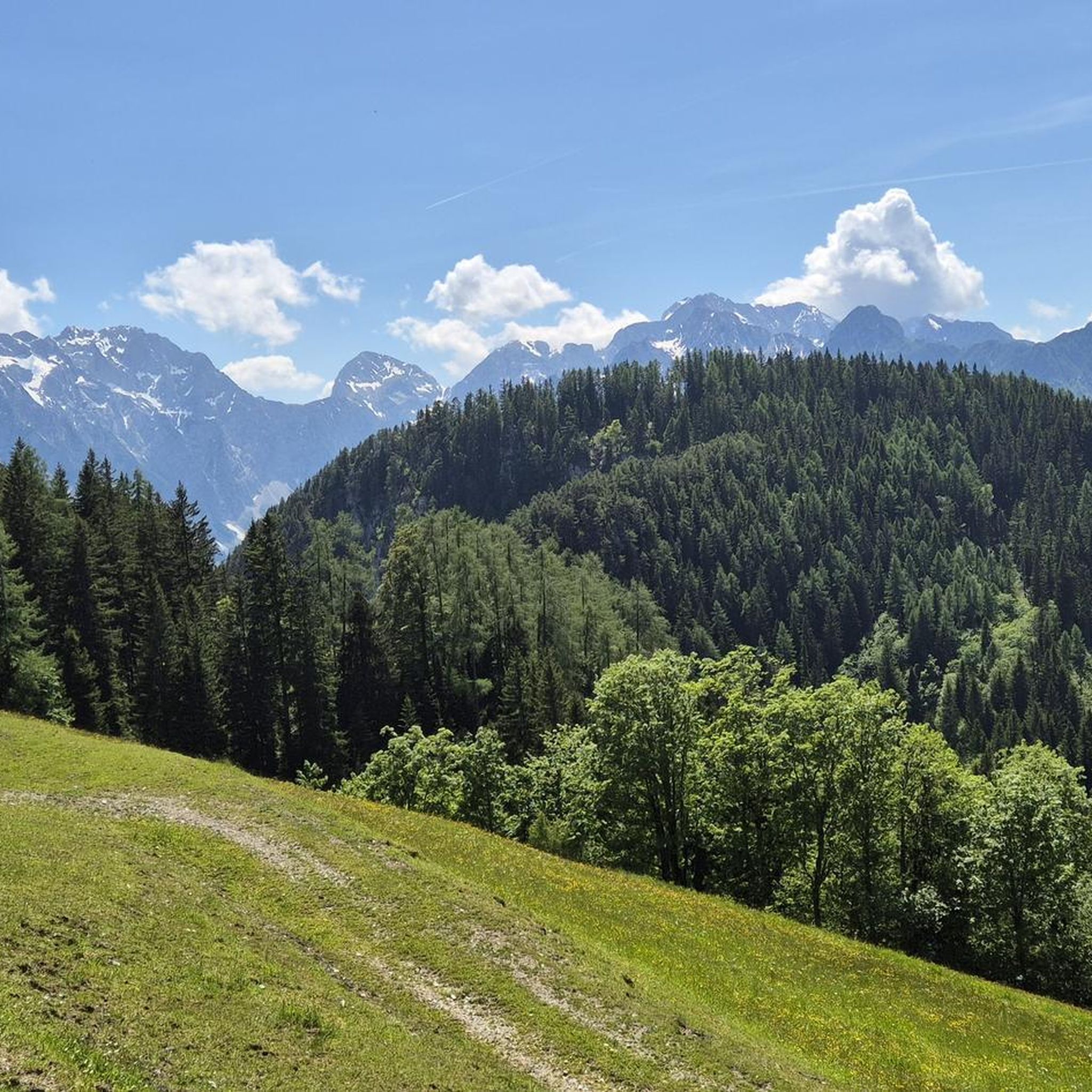
No traffic road cycling routes around La Villeneuve traverse a landscape characterized by rolling hills, dense woodlands, and numerous small lakes and rivers. The terrain features a mix of gentle ascents and descents, typical of the rural French countryside. This area offers quiet roads suitable for road cycling, with elevation changes that provide varied challenges.
Best no traffic road cycling routes around La Villeneuve
- The most popular no traffic road cycling route is Source du Cher – Tour de Sermur…
Last updated: July 3, 2026
4
riders
23.5km
01:03
230m
230m
Easy road ride. Great for any fitness level. Mostly well-paved surfaces and easy to ride.
2
riders
100km
04:55
1,290m
1,290m
Hard road ride. Very good fitness required. Mostly well-paved surfaces and easy to ride.

Sign up for free
2
riders
30.7km
01:36
390m
390m
Moderate road ride. Good fitness required. Mostly well-paved surfaces and easy to ride.
2
riders
26.1km
01:27
360m
360m
Moderate road ride. Good fitness required. Mostly well-paved surfaces and easy to ride.
2
riders
71.4km
03:23
780m
780m
Moderate road ride. Good fitness required. Mostly well-paved surfaces and easy to ride.
Our route recommendations are based on thousands of hikes, rides, and runs completed by other people on komoot.
Start today with a free account
Your next adventure awaits.
Login or Signup
Popular around La Villeneuve
Tips from the Community

The history of the castle dates back at least to 1195, when it was owned by the Durat family. It is classified as a historic monument. But it was the subject of reconstruction between the 16th and 19th centuries.
0
0

These two impressive towers are what remains of a 12th century castle. From there, you enjoy a panoramic view of the Limousin and Auvergne regions. You can also discover the restoration work and the history of the castle on the site which is open from March to October.
2
0

A village that definitely bears its name. We hear the incessant shots coming from a nearby military base, which resonate and disturb the almost disturbing calm of the place. The church under renovation is a good place for a siesta, a ravito, and why not a bivouac. Don't expect to be able to buy food there, there is nothing for several miles around.
0
0

Promontory of Saint-Georges Nigremont, overlooking the Creuse, with a 180 degree view. With interesting garden terraces, the site is one of the 500 most beautiful sites listed by the French Cycling Federation!
1
0
Remains of a 12th century fortified castle. At the top of the towers, we discover a very beautiful view of the Limousin and the Puys d'Auvergne. Two exhibition halls to visit. Admission costs €2. Open from March to October.
2
0

Promontory of Saint-Georges Nigremont overlooking the Creuse. Superb 180 degree view. Site part of the 500 most beautiful sites listed by the French Cycling Federation (FFCT). Saint-Georges Nigremont is therefore part of the Brevets des Provinces Françaises (BPF).
2
0
Frequently Asked Questions
How many no-traffic road cycling routes are available around La Villeneuve?
There are several dedicated no-traffic road cycling routes around La Villeneuve, offering a range of experiences. Our guide features 4 distinct routes, varying in length and difficulty, perfect for exploring the region by racebike.
What kind of terrain can I expect on the no-traffic road cycling routes near La Villeneuve?
The routes around La Villeneuve offer a mix of terrain. You'll find paths that wind through picturesque landscapes, including some with gentle hills and others that are relatively flat. For example, the Étang de Sagne Jurade loop from Saint-Avit-d'Auvergne is an easy ride with moderate elevation changes, while the longer Church of Magnat-l'Étrange – The Crocq Towers loop from Saint-Avit-d'Auvergne presents a more challenging profile with significant climbs.
Are there any easy no-traffic road cycling routes suitable for beginners or families?
Yes, there is an easy no-traffic road cycling route perfect for beginners or those looking for a more relaxed ride. The Étang de Sagne Jurade loop from Saint-Avit-d'Auvergne is classified as easy, covering 23.5 km with manageable elevation, making it a great option for a pleasant outing.
What is the best time of year to go no-traffic road cycling in La Villeneuve?
While specific seasonal recommendations for La Villeneuve's immediate area are not detailed, generally, spring and autumn offer the most pleasant conditions for road cycling in similar French regions. The weather is typically milder, and the natural scenery is vibrant. Summer can be warm, especially in the south, so early mornings or late afternoons are often preferred.
Are there any longer, more challenging no-traffic road cycling routes for experienced cyclists?
Absolutely. For experienced cyclists seeking a challenge, the Church of Magnat-l'Étrange – The Crocq Towers loop from Saint-Avit-d'Auvergne is a difficult route spanning over 100 km with significant elevation gain, promising a rewarding ride. Another moderate option is the Château des Portes loop from Les Mars, which is 71 km long.
What do other road cyclists enjoy most about no-traffic cycling in La Villeneuve?
The komoot community highly rates the cycling experience around La Villeneuve, with an average score of 4.33 stars. Reviewers often praise the tranquility of the routes and the opportunity to explore the region's natural beauty away from vehicle traffic.
Can I find circular no-traffic road cycling routes around La Villeneuve?
Yes, all the routes featured in our guide are circular, allowing you to start and end your ride in the same location without needing to retrace your steps. Examples include the Source du Cher – Tour de Sermur loop from La Villeneuve and the Étang Taillac – Étang des Aires loop from Sermur.
Are there any specific landmarks or natural features to look out for on these routes?
While the specific routes in this guide focus on the general La Villeneuve area, the broader region offers diverse natural features. Depending on which 'La Villeneuve' you are near, you might encounter the Durance valley, the impressive 'La Roche Amère' limestone rock, or the banks of the Rhône river. The routes themselves often pass by scenic points like the Source du Cher or various 'étangs' (ponds) such as Étang de Sagne Jurade and Étang Taillac, providing pleasant views.
Are there any routes that pass by historical sites or points of interest?
Some routes offer glimpses of the region's heritage. For instance, the Church of Magnat-l'Étrange – The Crocq Towers loop from Saint-Avit-d'Auvergne includes the Church of Magnat-l'Étrange. In the wider La Villeneuve context, depending on the specific location, you might find historical churches, clock towers, or even medieval ruins, adding cultural interest to your ride.
What is the average distance and elevation gain for the no-traffic road cycling routes?
The routes vary significantly. Distances range from approximately 23.5 km for an easy ride like the Étang de Sagne Jurade loop to over 100 km for challenging routes such as the Church of Magnat-l'Étrange – The Crocq Towers loop. Elevation gains are proportional, from around 230 meters for easier routes to over 1290 meters for the most difficult ones.
Can I find cafes or places to stop along the no-traffic road cycling routes?
While the routes are designed for minimal traffic, they often pass through or near small villages where you might find local cafes or shops to refuel. It's always a good idea to check the route details on komoot before your ride to identify potential stopping points or carry sufficient provisions, especially on longer or more remote sections.
Most popular routes around La Villeneuve

Get inspired with the komoot mobile app


Explore more
Browse the best Road cycling routes in other regions.
