The best traffic-free bike rides around Villard
3.9
(22)
102
riders
19
rides
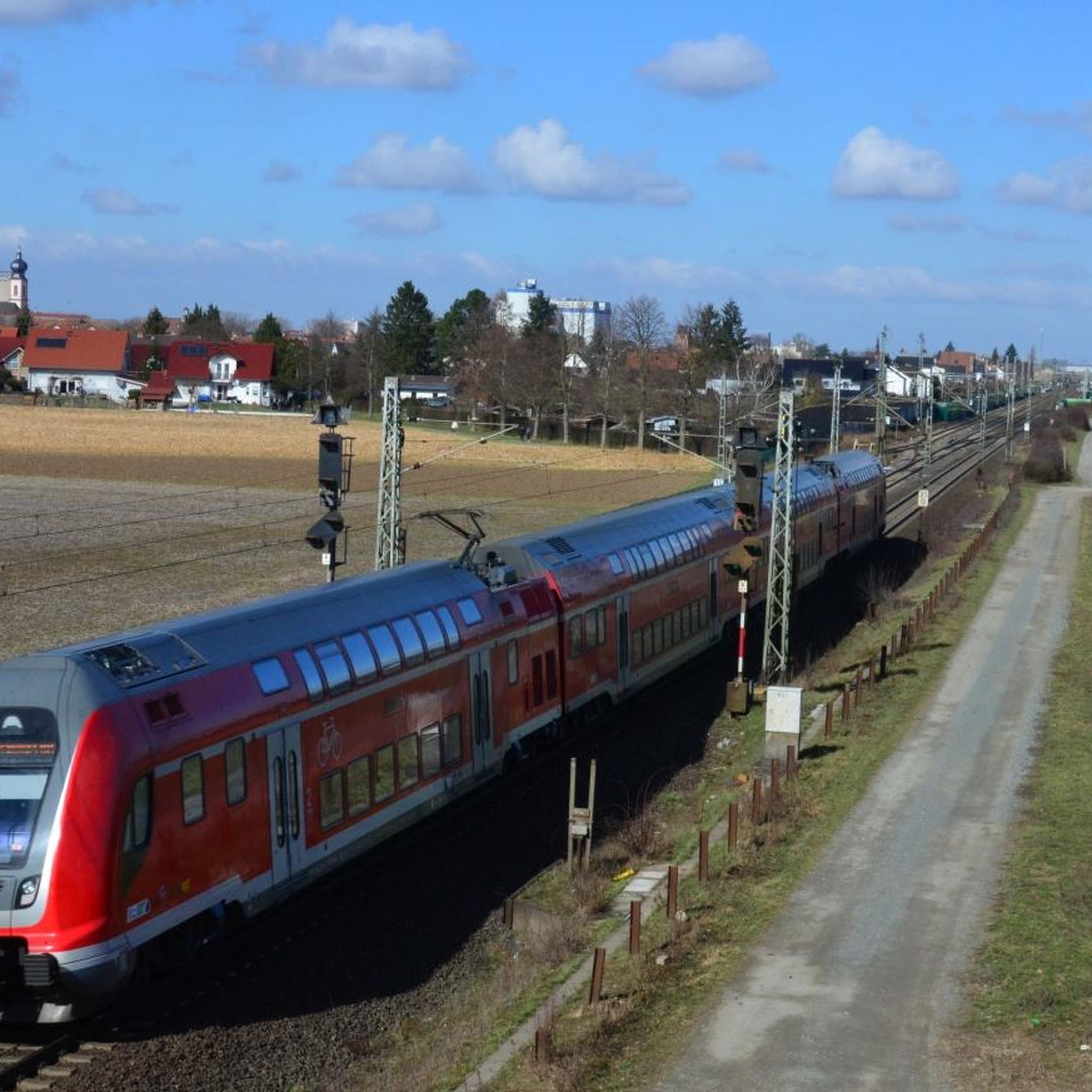
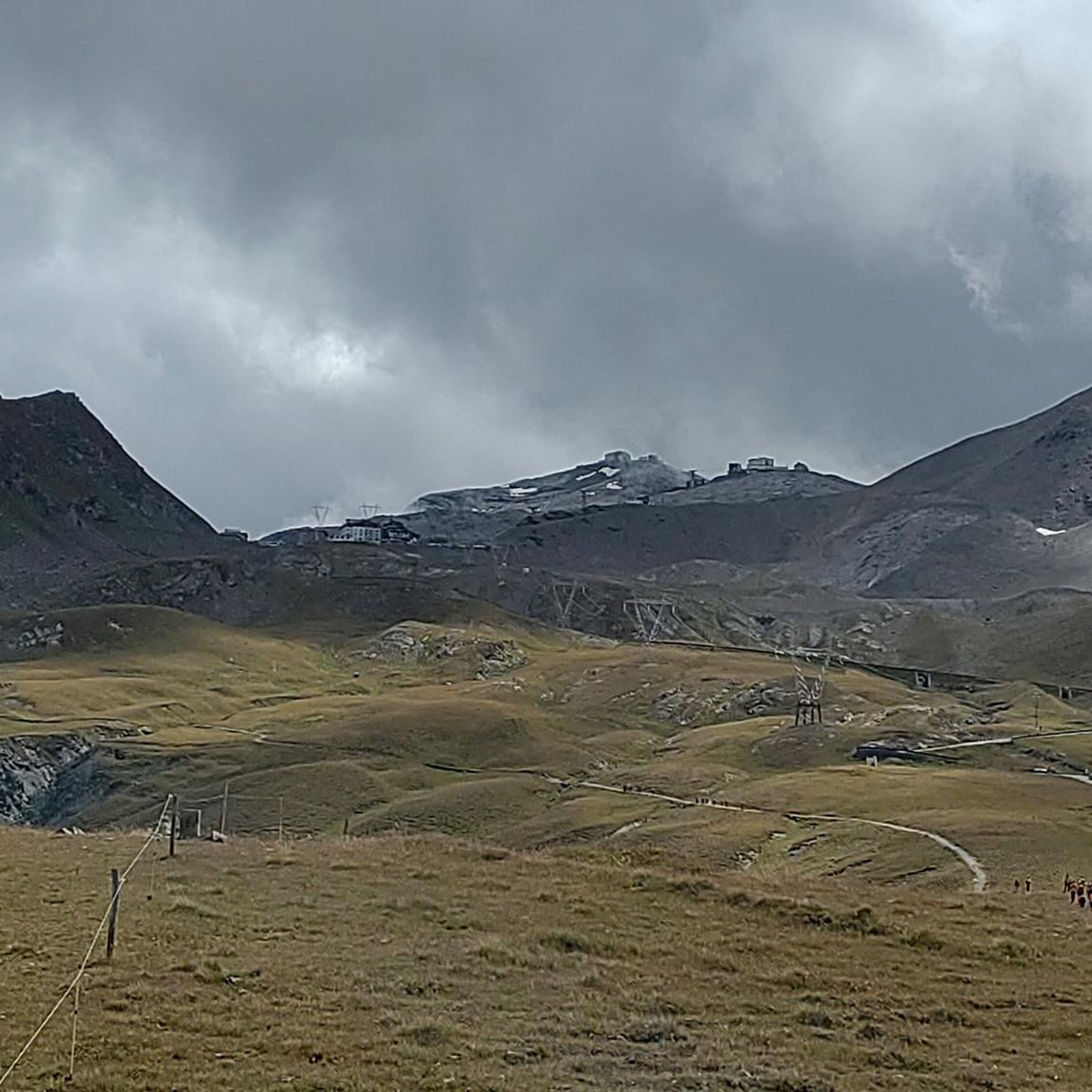
Gravel biking around Villard offers a network of routes that combine paved sections with natural tracks, allowing exploration of the region's diverse landscapes. The area features varied terrain, including forest paths, winding roads, and gravel tracks, often away from major traffic. The Vercors Regional Park contributes to a natural environment characterized by farms, crop fields, and forests. Elevated points and scenic areas like Pré des Preys lake and The cliffs Corrençon-en-Vercors provide additional natural features.
Best no traffic gravel bike…
Last updated: October 6, 2026
4.4
(8)
36
riders
53.4km
03:15
400m
400m
Hard gravel ride. Good fitness required. You may need to push your bike for some segments of this route.
5
riders
32.5km
02:43
720m
720m
Hard gravel ride. Very good fitness required. You may need to push your bike for some segments of this route.

5
riders
37.9km
03:03
790m
790m
Hard gravel ride. Very good fitness required. Mostly paved surfaces. Suitable for all skill levels.
4.0
(3)
12
riders
25.7km
02:06
640m
640m
Hard gravel ride. Very good fitness required. Mostly paved surfaces. Suitable for all skill levels.
5
riders
19.9km
01:40
450m
450m
Hard gravel ride. Very good fitness required. Mostly paved surfaces. Suitable for all skill levels.
Get access to more routes and recommendations from other explorers.
Already have an account?
Our route recommendations are based on thousands of hikes, rides, and runs completed by other people on komoot.
Tips from the Community


Take a little detour 🤩 beautiful lake!! Take a walk around it!
0
0

Boisinges intersection (Roman road) Altitude 700m
1
0
Intersection point Bucquigny (Roman Road) Altitude 650m
1
0


Beautiful view from the restaurant of the same name
0
0
Frequently Asked Questions
How many no-traffic gravel bike trails are available in the Villard area?
The Villard area offers a good selection of traffic-free gravel bike trails. This guide features 9 routes, ranging from moderate to difficult, perfect for exploring the region's natural beauty away from cars.
What kind of terrain can I expect on gravel bike trails around Villard-de-Lans?
The gravel bike trails in Villard-de-Lans are known for their varied terrain, combining paved sections with natural tracks. You'll encounter forest paths, winding roads, dedicated gravel tracks, and undergrowth trails, offering a diverse riding experience.
Are there any family-friendly gravel biking options in Villard-de-Lans?
While many routes in this guide are rated moderate to difficult, the broader Villard-de-Lans area, particularly the Via Vercors, is designed for 'gentle travel.' This 55 km path connects villages and is ideal for families looking for a relaxed ride to discover the region's farms, fields, and forests.
What are some scenic viewpoints or natural attractions accessible from these trails?
The Villard area is rich in natural beauty. You can find stunning views of Lake Geneva, for example, on routes like the Coudrée Castle – View of Lake Geneva loop from Lully. Other notable viewpoints and natural features in the wider region include Panoramic view of Lake Vallon and various mountain peaks like Mount Forchat.
Are there any circular gravel bike routes available?
Yes, many of the gravel bike trails in this guide are designed as loops, allowing you to start and end at the same point. For instance, the Ponds on the banks of the Arve – Footbridge over the Arve loop from Marcellaz offers a scenic circular ride.
What do other gravel bikers say about the trails in Villard?
The komoot community highly rates the outdoor experiences in the Villard area, with an average score of 4 stars from 15 ratings. Riders often praise the diverse landscapes and the opportunity to explore away from traffic.
Can I find trails that pass by lakes or other water features?
Absolutely. The region features several beautiful lakes. You can explore routes that take you near water, such as the Ponds on the banks of the Arve – Footbridge over the Arve loop from Marcellaz. Additionally, highlights like La Gouille aux Morts and Lake Môle are popular spots in the area.
Are there any challenging gravel bike trails for experienced riders?
Yes, several routes in this guide are rated as difficult, offering a good challenge for experienced gravel bikers. An example is the Col de Réray – Vers Château loop from Ville-en-Sallaz, which features significant elevation gain and varied terrain.
What is the best time of year to go gravel biking in Villard-de-Lans?
Villard-de-Lans is an excellent destination for outdoor activities. While specific conditions vary, spring through autumn generally offers the most favorable weather for gravel biking, with pleasant temperatures and accessible trails. Always check local weather conditions before heading out.
Are there any routes that offer views of castles or historical sites?
Yes, some routes provide glimpses of historical landmarks. For example, the Coudrée Castle – View of Lake Geneva loop from Lully passes by Coudrée Castle, offering a blend of natural beauty and historical interest.
How long do the gravel bike trails typically take to complete?
The duration of the trails varies depending on their length and difficulty, as well as your pace. For instance, the Col de Réray – Vers Château loop from Bonne is a longer, more challenging route that can take around 3 hours, while others might be shorter.
Most popular attractions around Villard

Get inspired with the komoot mobile app


Explore more
Browse the best Gravel rides in other regions.
