The best traffic-free bike rides around Urmatt
4.6
(9)
82
riders
14
rides
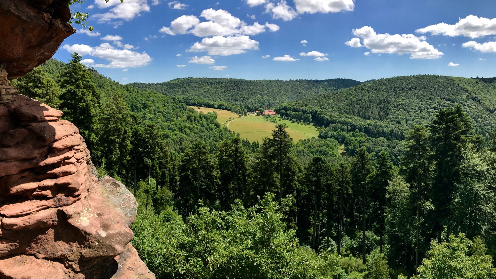
Gravel biking around Urmatt offers diverse terrain within the Bruche Valley and the Vosges mountains. The region is characterized by undulating landscapes of meadows, fir trees, forests, and an extensive network of unpaved paths. Altitudes range from 224 to 900 meters, providing varied elevation changes suitable for gravel cyclists. This area features numerous forest tracks and rural roads, ideal for no traffic gravel bike trails.
Best no traffic gravel bike trails around Urmatt
- The most popular no traffic gravel bike…
Last updated: May 22, 2026
9
riders
Hard gravel ride. Very good fitness required. Mostly paved surfaces. Suitable for all skill levels.
4.0
(1)
29
riders
89.0km
07:07
1,930m
1,930m
Hard gravel ride. Very good fitness required. You may need to push your bike for some segments of this route.

Sign up for free
4.7
(3)
4
riders
19.7km
01:21
450m
450m
Moderate gravel ride. Good fitness required. Mostly paved surfaces. Suitable for all skill levels.
5.0
(1)
5
riders
71.7km
05:09
1,330m
1,330m
Hard gravel ride. Very good fitness required. You may need to push your bike for some segments of this route.
4.0
(1)
6
riders
43.8km
03:44
1,070m
1,070m
Hard gravel ride. Very good fitness required. Mostly paved surfaces. Suitable for all skill levels.
Get access to more routes and recommendations from other explorers.
Sign up for free
Already have an account?
Our route recommendations are based on thousands of hikes, rides, and runs completed by other people on komoot.
Start today with a free account
Your next adventure awaits.
Login or Signup

Other adventures around Urmatt

Tips from the Community

Champ du Feu, at 1099 meters, is the highest mountain in the Bas-Rhin department of the Vosges in Alsace. It lies between the towns of Belmont and Le Hohwald and consists of an extensive high plateau with forests, meadows, and moorlands. The area is a popular nature and recreational area. In summer, it is mainly used for hiking, mountain biking, and nature observation. In winter, there is a small ski area with cross-country trails and simple slopes for winter sports. The brook La Serva originates from Champ du Feu, later forming the Cascade de la Serva. In clear weather, the summit offers wide views over the Vosges, the Rhine plain, and as far as the Black Forest. The area is particularly known for its tranquil nature, high moors, sunrises and starry skies, as well as well-marked hiking trails.
0
0

At kilometer 20 the path is impassable too dangerous there are big stones and roots you often have to get off the bike it's more strenuous than enjoyable
0
0

This section of the cycle path that crosses the Bruche Valley is one of the most beautiful. The landscape is completely unobstructed, allowing you to admire the first Vosges mountains. All this while cycling on a very high-quality surface.
0
0

very nice view and a good place to eat
0
0

Very nice to ride: moderate gradient, little traffic.
0
1

The kitchen had already closed at 3 p.m. on Sunday afternoon, so there were no hot or cold food left. Only cake and ice cream, but that was good. 💲💲Cash only. 💲💲
0
0

A long and beautiful forest road. However, it's bumpy in places on a road bike!
0
0

Beautiful trails. Unfortunately, a section was closed, private. But we continued, just in a different way.
0
0
Frequently Asked Questions
How many no-traffic gravel bike trails are available around Urmatt?
There are currently 14 dedicated no-traffic gravel bike trails around Urmatt featured in this guide. These routes offer a range of experiences, from moderate to difficult, ensuring a suitable option for various skill levels.
What kind of terrain will I encounter on Urmatt's gravel bike trails?
The terrain around Urmatt is highly varied, reflecting its position in the Bruche Valley and near the Vosges mountains. You can expect undulating landscapes with a mix of meadows, fir forests, and extensive networks of unpaved paths and rural roads. Trails often feature diverse surfaces, from forest tracks to more challenging climbs and descents, providing a true gravel biking experience.
Are there any circular no-traffic gravel routes in the Urmatt area?
Yes, many of the no-traffic gravel routes around Urmatt are circular, allowing you to start and end at the same point. For example, the Route des Pionniers – La Porte de Pierre loop from Heiligenberg - Mollkirch offers a challenging 51 km circular ride, while the Prayé Forest Road – Lac de la Maix loop from Urmatt is another excellent option starting directly from Urmatt.
What are some notable landmarks or natural features I can see along these routes?
The no-traffic gravel trails often lead through scenic areas with interesting natural features and historical landmarks. You might pass by significant mountain passes like Col des Pandours, or natural monuments such as the Stone Gate. The region's forests also hide attractions like the Soultzbach waterfall, offering beautiful natural stops.
Are there any moderate difficulty no-traffic gravel routes suitable for those looking for a less strenuous ride?
While many routes are classified as difficult, there are moderate options available. The Pandours Pass – Col des Pandours loop from Glossberg is a 19.7 km route with a moderate difficulty grade, offering a rewarding ride without the extreme challenges of some longer trails.
What is the best time of year for gravel biking in Urmatt?
Urmatt's diverse landscape makes it enjoyable across seasons, but spring and autumn generally offer the most pleasant conditions for gravel biking. The mild temperatures and vibrant foliage or blooming nature enhance the experience. While winter riding is possible, be prepared for potentially wet or snowy conditions on forest tracks, especially at higher elevations.
Are there any no-traffic gravel trails that offer great viewpoints?
Absolutely. The Vosges mountains surrounding Urmatt provide numerous opportunities for panoramic views. Routes often ascend to higher altitudes, such as those near the Mutzig rock, offering rewarding vistas over the Bruche Valley and beyond. Keep an eye out for trails that pass by summits like Schneeberg Summit or Le Petit Donon for stunning outlooks.
What do other gravel bikers enjoy most about the no-traffic trails in Urmatt?
The komoot community highly rates the gravel biking experience in Urmatt, with an average score of 4.7 stars. Reviewers often praise the region's commitment to nature, the extensive network of quiet forest tracks, and the diverse landscapes that provide both scenic beauty and engaging challenges away from traffic.
Are there any long-distance no-traffic gravel routes for experienced riders?
Yes, for experienced riders seeking a significant challenge, Urmatt offers several long and demanding no-traffic routes. The Wangenbourg Castle – Col des Pandours loop from Wangenbourg-Engenthal is a particularly challenging option, spanning nearly 89 km with substantial elevation gain, perfect for a full day's adventure.
Can I find parking easily near the starting points of these gravel trails?
Given Urmatt's focus on outdoor activities and its 'Station verte' status, parking is generally available in and around the village, as well as at common trailheads. Many routes, like the Prayé Forest Road – Lac de la Maix loop, can be started directly from Urmatt, making access convenient.
Most popular attractions around Urmatt

Get inspired with the komoot mobile app


Explore more
Browse the best Gravel rides in other regions.
