The best traffic-free bike rides around Rochetoirin
4.2
(8)
48
riders
9
rides
No traffic gravel bike trails around Rochetoirin traverse a landscape characterized by low to medium-altitude hills, extensive forests, and rural plains within the Isère department. The area features an irregular plateau ranging between 400 and 450 meters in altitude, with quiet country roads and wide paths ideal for gravel biking. Riders can expect varied terrain, including ascents and descents, through wooded areas like the Forêt de Tire-Gerbe and along the Bourbre river valley.
Best no traffic gravel bike trails around…
Last updated: November 2, 2026
15
riders
51.3km
02:39
170m
170m
Moderate gravel ride. Good fitness required. Mostly paved surfaces.
4.0
(2)
8
riders
33.0km
02:04
200m
190m
Moderate gravel ride. Good fitness required. Mostly paved surfaces.

3
riders
51.2km
03:33
850m
850m
Hard gravel ride. Very good fitness required. Mostly paved surfaces.
4.5
(2)
2
riders
16.0km
01:05
200m
200m
Moderate gravel ride. Good fitness required. Mostly paved surfaces.
4.0
(1)
3
riders
20.9km
01:35
380m
380m
Moderate gravel ride. Good fitness required. Mostly paved surfaces.
Get access to more routes and recommendations from other explorers.
Already have an account?
Our route recommendations are based on thousands of hikes, rides, and runs completed by other people on komoot.

Tips from the Community

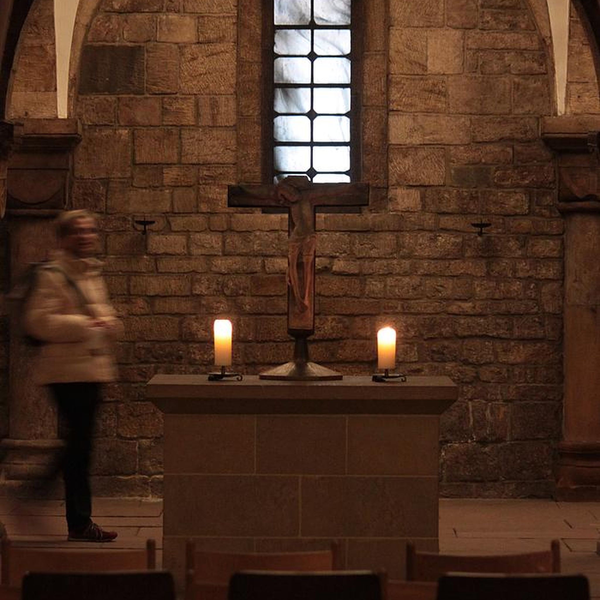
Built in 1867 to replace the old chapels of the historic hamlets of Roche and Toirin, the Saint-Étienne church of Rochetoirin was built on the edge of the plateau. Its location serves as a true viewpoint, offering an unobstructed panoramic view of the entire surrounding plain and the landscapes of the Vals du Dauphiné. https://www.rochetoirin.fr/rubriques.item.41/histoire.html
0
0
Neighborhood meeting and sharing space designed to strengthen local social ties in the vicinity of Saint-Chef
0
0
Construite au XIXe siècle, cette église est née de la volonté des habitants du hameau de Chamont qui anticipaient une séparation administrative du bourg principal de Saint-Chef pour devenir une commune indépendante. Ce projet d'indépendance n'ayant jamais abouti, le bâtiment n'a jamais été consacré ni utilisé pour le culte. Plus récemment, ce lieu atypique a trouvé une seconde vie en étant réhabilité en salle de spectacle et espace culturel.
0
0
The Voie verte des Balcons du Dauphiné is a 18-kilometer-long secure cycle and pedestrian path, built on the route of the former Est Lyonnais railway line. It connects the medieval town of Crémieu to the municipality of Arandon-Passins, where it connects directly to the ViaRhôna.
0
0

here I replenished my drink supply again
0
0

A nice little village, ideal for a break
0
0
Unfortunately I did not see this cow statue
0
0
Rest area on the Via Rhôna car park, with toilets and water fountain, Shared space with motorhomes on the edge of a pond near the town of Morestel and shops.
1
0
Frequently Asked Questions
How many no-traffic gravel bike trails are available around Rochetoirin?
There are 6 dedicated no-traffic gravel bike trails around Rochetoirin featured in this guide. These routes offer a mix of moderate and difficult terrain, perfect for exploring the region's quiet landscapes.
What kind of terrain can I expect on Rochetoirin's gravel bike trails?
Rochetoirin's trails traverse a diverse landscape of low to medium-altitude hills, extensive forests like the Forêt de Tire-Gerbe, and quiet rural plains. You'll encounter a mix of unpaved forest paths, wide country roads, and some scenic climbs offering panoramic views of surrounding mountain massifs like Mont Blanc.
Are there any family-friendly or beginner-suitable gravel routes?
While many routes are moderate to difficult, the region offers options for varying skill levels. For a shorter, moderate ride, consider the Rochetoirin Church loop from Rochetoirin, which is about 16 km long. The area's quiet rural roads and forests make it generally pleasant for families, especially if you adapt the distance.
What are the best times of year to go gravel biking in Rochetoirin?
The diverse topography of Rochetoirin makes it enjoyable for gravel biking throughout much of the year. Spring and autumn offer pleasant temperatures and vibrant scenery, while summer provides lush green forests and longer daylight hours. The extensive forested areas, such as the Bois de la Cure, offer welcome shade during warmer months.
Where can I find parking for gravel biking in Rochetoirin?
Parking is generally available in the villages and towns where many of these routes begin. For example, routes like the Rochetoirin Church loop start directly from Rochetoirin, where you can typically find local parking. Larger nearby towns like Bourgoin-Jallieu, a starting point for the Demptézieu Castle loop, also offer parking facilities.
Are there any challenging routes for experienced gravel bikers?
Yes, for experienced riders seeking a challenge, there are two difficult routes in the area. The Côte de l'Anluire – Saint-Barthélemy Church loop from Montcarra is a demanding option, covering nearly 40 km with significant elevation gain, offering a rewarding experience with varied terrain and scenic views.
What can I see or visit along the gravel bike trails in Rochetoirin?
Many routes pass by or near interesting natural and historical sites. You might encounter tranquil spots like the Étang de la Rosière, or historical landmarks such as the Chateau de Chapeau Cornu. The region's forests, like the Bois d'Yvrard, also provide beautiful natural scenery.
What do other gravel bikers enjoy most about the trails in Rochetoirin?
The komoot community rates the trails around Rochetoirin highly, with an average score of 4.25 stars. Riders often praise the quiet, traffic-free nature of the routes, the diverse landscapes ranging from forests to rolling hills, and the panoramic views of the surrounding mountain ranges.
Are there any circular gravel bike routes in the area?
Yes, all the routes listed in this guide are circular, allowing you to start and end your ride at the same point. For example, the Étang de Lancin – ENS Étang de la Serre loop from Saint-Savin offers a substantial circular ride of over 50 km through varied landscapes.
Can I find places to eat or get refreshments near the trails?
While specific cafes directly on the trails are rare, many routes start or pass near local villages and towns. Larger towns like Bourgoin-Jallieu, which is a starting point for some tours, offer local markets and establishments where you can find refreshments and explore local culture after your ride.
What are the typical durations for gravel bike rides in Rochetoirin?
Ride durations vary significantly based on the route's length and difficulty. You can find shorter, moderate rides like the Rochetoirin Church loop, which takes around 1 hour 5 minutes, up to longer, more challenging tours such as the Côte de l'Anluire – Saint-Barthélemy Church loop, which can take over 2 hours 40 minutes.
Most popular routes around Rochetoirin
Most popular attractions around Rochetoirin

Get inspired with the komoot mobile app


Explore more
Browse the best Gravel rides in other regions.
