The best traffic-free bike rides around Aiguebelette-Le-Lac
4.7
(360)
8,749
riders
7
rides
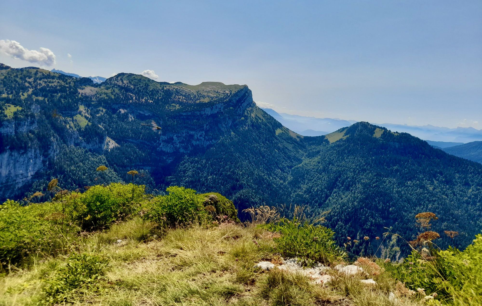
No traffic road cycling routes around Aiguebelette-Le-Lac traverse a landscape characterized by its emerald lake, surrounded by the mountainous terrain of the Montagne de l'Épine and Mont Grêle, which are part of the Chartreuse Regional Natural Park. The region offers varied terrain, from lakeside paths to significant mountain climbs, providing diverse road cycling experiences. The area features a mix of forests, rural countryside, and panoramic viewpoints over the lake and the Chartreuse massif.
Best no traffic road cycling routes around…
Last updated: May 22, 2026
4.7
(9)
328
riders
42.9km
02:48
1,310m
1,310m
Hard road ride. Very good fitness required. Mostly well-paved surfaces and easy to ride.
5.0
(2)
19
riders
26.9km
01:25
480m
480m
Moderate road ride. Good fitness required. Mostly well-paved surfaces and easy to ride.

Sign up for free
6
riders
30.2km
01:51
730m
740m
Moderate road ride. Good fitness required. Mostly well-paved surfaces and easy to ride.
4
riders
45.5km
03:12
1,560m
1,560m
Hard road ride. Very good fitness required. Mostly well-paved surfaces and easy to ride.
4
riders
70.3km
04:21
1,890m
1,890m
Hard road ride. Very good fitness required. Mostly well-paved surfaces and easy to ride.
Get access to more routes and recommendations from other explorers.
Sign up for free
Already have an account?
Our route recommendations are based on thousands of hikes, rides, and runs completed by other people on komoot.
Start today with a free account
Your next adventure awaits.
Login or Signup
Popular around Aiguebelette-Le-Lac

Other adventures around Aiguebelette-Le-Lac

Tips from the Community

A drinking water point that is not to be refused before embarking on the hard part of the Col de l'épine.
1
0

Good refueling before climbing the relay!
1
0

There is no getting past this obstruction. Take D40 which is a few hundred yards from this turn off. You can rejoin original route after a mile or so.
1
0

May 2025 no longer possible to pass. Not even next to the road. You can drive around the village above, follow signs.
2
0

A pass and a viewpoint that is worth it. Very little respite, mostly 10-11%. 13km of climbing.
0
0


Having passed by yesterday (08/13/2024), 4 water points. The first one going up (or last one going down, it depends) is not drinkable in fact. The other 3 are a priori drinkable (according to the logos affixed to the fountains). According to a resident of the hamlet, at whose house I had just stopped to get water, they are a priori drinkable.
1
0
Shot: 08-2024 This hole in the road has been there for two years. There's a small path that goes over it and allows you to bypass it.
1
0
Frequently Asked Questions
How many no traffic road cycling routes are available around Aiguebelette-Le-Lac?
There are 5 curated no traffic road cycling routes in the Aiguebelette-Le-Lac area, ranging from moderate to difficult, ensuring options for various skill levels.
Are there any family-friendly or beginner-level no traffic road cycling routes?
While the routes in this guide are generally moderate to difficult, the region offers easier options. The "Tour of Lac d'Aiguebelette" is a popular 17.1-mile (27.5 km) loop with minimal elevation gain, much of which is a greenway, making it suitable for families and beginners seeking a car-free experience around the lake.
What is the best time of year for traffic-free road cycling in Aiguebelette-Le-Lac?
The warmer months, from late spring to early autumn, are ideal for road cycling in Aiguebelette-Le-Lac. The lake is known for its warm temperatures, and the surrounding routes offer pleasant conditions. Winter cycling is possible but requires appropriate gear and caution due to potential colder temperatures and mountain conditions.
Are there any challenging car-free road cycling routes for advanced cyclists?
Yes, advanced cyclists will find challenging options. For instance, the Fontaine - La Vellaz – Signal du Mont du Chat loop from Novalaise covers 45.4 km with over 1500m of elevation gain, offering a significant test. Another demanding option is the Mont du Chat lookout loop from La Motte-Servolex, which features 1300m of ascent over 42.3 km.
Can I find loop road bike trails that are traffic-free in this area?
Absolutely. All the routes featured in this guide are loop trails, designed to bring you back to your starting point. Examples include the Col du Banchet loop from Belmont-Tramonet and the Roadbike loop from Le Pont-de-Beauvoisin, both offering scenic circular rides.
What scenic viewpoints can I expect along the no traffic road cycling routes?
The region is rich in panoramic views. Routes often traverse areas with stunning vistas of Lac d'Aiguebelette, the Montagne de l'Épine, and the Chartreuse massif. The Mont Grêle Viewpoint and the Épine Pass are particularly notable for their expansive scenery.
Are there places to stop for refreshments or cafes along these routes?
While specific cafes are not listed for every route, the Aiguebelette-Le-Lac area is well-developed for tourism. You'll find villages and towns along or near many routes, especially around the lake itself, where you can stop for refreshments. It's always a good idea to carry water and snacks, especially on longer or more remote sections.
What do other road cyclists enjoy most about cycling in Aiguebelette-Le-Lac?
The area is highly rated by the komoot community, with an average score of 4.8 stars from over 200 ratings. Reviewers often praise the stunning lake views, the challenging mountain climbs, and the overall tranquility of the traffic-free sections, which allow for an immersive cycling experience in nature.
What are some notable landmarks or attractions near the cycling routes?
Beyond the cycling, the region offers several points of interest. You can visit the Lac d'Aiguebelette itself, known for its emerald waters and protected status. Mountain passes like Granier Pass and Saint-Michel Pass offer historical significance and breathtaking views. For a unique sight, the Fountain of the Elephants is also nearby.
Where can I find parking for these traffic-free road cycling routes?
Many of the routes start from towns or villages such as La Motte-Servolex, Novalaise, Belmont-Tramonet, or Le Pont-de-Beauvoisin. These locations typically offer public parking facilities. For routes around Lac d'Aiguebelette, there are various parking areas near the lake's beaches and access points.
Are there any moderate difficulty no traffic road cycling routes?
Yes, there are several moderate routes perfect for those looking for a good workout without extreme challenges. The Balcons du Bourget loop from La Motte-Servolex is a 26.8 km ride with around 500m of elevation, offering a balanced experience. Another great option is the Col du Banchet loop from Belmont-Tramonet, similar in length and elevation.
Most popular routes around Aiguebelette-Le-Lac
Most popular attractions around Aiguebelette-Le-Lac

Get inspired with the komoot mobile app


Explore more
Browse the best Road cycling routes in other regions.
