The best traffic-free bike rides around Vaulx-Milieu
4.4
(240)
3,881
riders
138
rides
No traffic road cycling routes around Vaulx-Milieu traverse a varied topography, featuring a peneplain interspersed with Miocene hills and a modest Jurassic limestone massif. The landscape includes forests, agricultural lands, and plateaus, providing diverse scenery for cyclists. Water features such as the Bourbre river and several lakes like Étang de la Rosière and Lac de Vaugelas are present. Natural reserves, including Montgeard and Saint-Bonnet, contribute to the region's ecological richness and offer engaging backdrops for rides.
Best no traffic road…
Last updated: July 3, 2026
4.7
(3)
34
riders
29.4km
01:25
330m
330m
Moderate road ride. Good fitness required. Mostly well-paved surfaces and easy to ride.
5.0
(1)
52
riders
37.6km
01:36
150m
150m
Moderate road ride. Great for any fitness level. Some segments of this route may be unpaved and difficult to ride.

Sign up for free
3.0
(1)
17
riders
67.7km
03:15
760m
760m
Moderate road ride. Good fitness required. Mostly well-paved surfaces and easy to ride.
5.0
(1)
14
riders
24.2km
01:17
350m
350m
Moderate road ride. Good fitness required. Mostly well-paved surfaces and easy to ride.
10
riders
90.7km
04:55
1,330m
1,330m
Hard road ride. Very good fitness required. Mostly well-paved surfaces and easy to ride.
Get access to more routes and recommendations from other explorers.
Sign up for free
Already have an account?
Our route recommendations are based on thousands of hikes, rides, and runs completed by other people on komoot.
Start today with a free account
Your next adventure awaits.
Login or Signup
Popular around Vaulx-Milieu

Tips from the Community


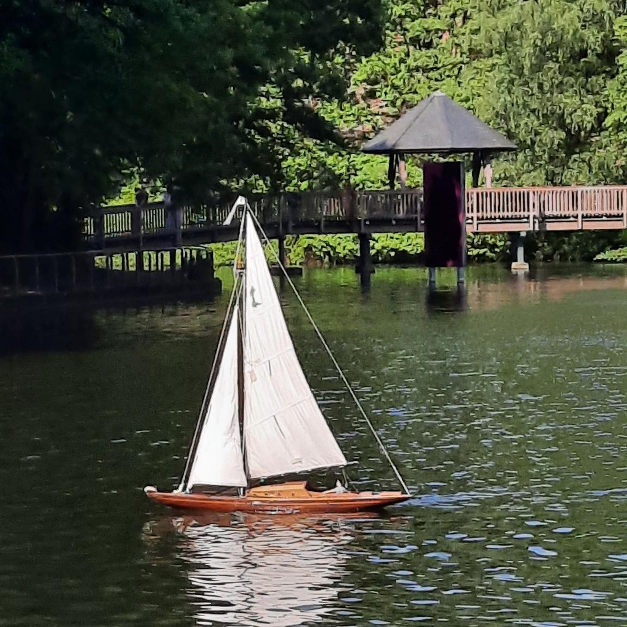
Lovely view of the pond. A little cool spot when it's hot.
0
0


Jean Jacques Rousseau lived in this house from January 1769 to April 1770. A building that is more than 350 years old.
0
0


Rosière Pond NATURAL HERITAGE Rosière Pond BACK TO THE LIST Rosière Pond© Martial-Couderette The Rosière pond is located to the north-east of the town of Bourgoin-Jallieu on the edge of the town of Ruy-Montceau and offers an ideal relaxing setting. The association “Les Amis de Rosière et de la Nature” manages the pond made available by the city. The Rosière pond, fed by the Loudon stream, was built in the 18th century to power a hemp mill (the current restaurant). This pond was the property of the GENIN family for a long time before being bought by the town of Bourgoin-Jallieu in 1978. Since then, the town of Bourgoin-Jallieu has done everything possible to make this site a protected natural place, walks and hikes and a fishing spot. Many hiking trails start from the pond. Source: Isère Tourism
1
0
Worth the detour by bike or on foot.
0
0
Nice place for a break. Swimming and fishing prohibited.
0
0
Frequently Asked Questions
How many traffic-free road cycling routes are available around Vaulx-Milieu?
There are over 120 dedicated traffic-free road cycling routes around Vaulx-Milieu, offering a wide range of options for all skill levels. This includes 8 easy routes, 90 moderate routes, and 26 difficult routes for those seeking a challenge.
What kind of terrain can I expect on traffic-free road cycling routes in Vaulx-Milieu?
The terrain around Vaulx-Milieu is quite varied, offering a mix of landscapes. You'll find routes traversing a peneplain with Miocene hills, agricultural lands, and plateaus. While some routes feature gentle inclines, others, like the difficult Route de Beausoleil – Pondside passage loop from L'Isle-d'Abeau, can include significant elevation gains, providing diverse experiences for road cyclists.
Are there any family-friendly, traffic-free road cycling routes in the area?
Yes, Vaulx-Milieu offers several family-friendly options among its 8 easy routes. These routes typically feature smoother surfaces and minimal elevation changes, making them suitable for cyclists of all ages. The region's greenways and paths along water bodies are often ideal for a relaxed family ride.
What natural features or landmarks can I see along the traffic-free road cycling routes?
Many routes will take you past beautiful natural features and historical landmarks. You can cycle by serene water bodies such as the Étang de la Rosière and Lake Saint-Quentin-Fallavier. The historic Château de Fallavier is also a prominent sight on some routes, offering a glimpse into the region's past.
Are there any circular traffic-free road cycling routes available?
Yes, many of the routes around Vaulx-Milieu are designed as loops, allowing you to start and finish at the same point. For example, the Roadbike loop from Vaulx-Milieu is a moderate 23.9 km circular route, perfect for exploring the local area without retracing your steps.
What do other road cyclists enjoy most about cycling in Vaulx-Milieu?
The area is highly rated by the komoot community, with an average score of 4.32 out of 5 stars from over 210 ratings. Reviewers often praise the diverse landscapes, the quiet roads, and the opportunity to discover both natural beauty and historical sites like the Château de Fallavier.
Can I find routes that are suitable for advanced road cyclists seeking a challenge?
Absolutely. Vaulx-Milieu offers 26 difficult road cycling routes for experienced riders. These routes often feature longer distances and more significant elevation gains, such as the Route de Beausoleil – A travers champs loop from L'Isle-d'Abeau, which covers 65.8 km with over 900 meters of ascent.
Are there any routes that pass through natural reserves or protected areas?
While specific routes through the Montgeard Natural Reserve or Saint-Bonnet Regional Natural Reserve are not detailed for road cycling, the region's commitment to preserving its ecological richness means many routes will offer views of these important green spaces and the diverse flora and fauna they support.
What is the best time of year for traffic-free road cycling in Vaulx-Milieu?
The Auvergne-Rhône-Alpes region generally offers pleasant cycling conditions from spring through autumn. Spring brings blooming landscapes, while autumn provides cooler temperatures and beautiful foliage. Summer is also popular, but it's advisable to start early to avoid the midday heat.
Are there any long-distance traffic-free routes or greenways accessible from Vaulx-Milieu?
Yes, the region is known for its extensive cycling network. You can access routes like La Belle Via, which crosses the Isère Valley, offering accessible cycling paths often on quiet roads. The Greenway Along the Canal – Route de Beausoleil loop from L'Isle-d'Abeau is a great example of a longer, moderate route covering nearly 68 km.
Are there options for moderate-difficulty traffic-free road cycling?
Yes, the majority of routes (90 out of 124) are classified as moderate, providing a good balance of distance and elevation without being overly strenuous. A good example is the Les trois bosses – A travers champs loop from L'Isle-d'Abeau, a 29.3 km route with moderate climbs.
Most popular routes around Vaulx-Milieu
Most popular attractions around Vaulx-Milieu

Get inspired with the komoot mobile app


Explore more
Browse the best Road cycling routes in other regions.
