The best hikes from bus stations around Avranches
4.5
(3727)
37,084
hikers
206
hikes
Bus station hiking trails around Avranches offer access to a diverse landscape characterized by its position overlooking the Bay of Mont Saint-Michel. The region features rolling hills, the Sélune estuary with its saltmarshes, and the Normandy bocage with hedgerows. River valleys like the Lude Valley and the Sélune wind through areas of oak, beech, and birch woods, providing varied terrain for exploration. To the east, the Mortainais region presents a green countryside with numerous marked trails and waterfalls.
Best bus…
Last updated: July 2, 2026
4.8
(194)
4,265
hikers
Easy hike. Great for any fitness level. Easily-accessible paths. Suitable for all skill levels.
4.9
(94)
379
hikers
10.2km
02:47
160m
160m
Moderate hike. Good fitness required. Easily-accessible paths. Suitable for all skill levels.

Sign up for free
4.9
(89)
303
hikers
14.2km
03:53
210m
210m
Moderate hike. Good fitness required. Easily-accessible paths. Suitable for all skill levels.
4.5
(34)
482
hikers
Easy hike. Great for any fitness level. Easily-accessible paths. Suitable for all skill levels.
4.4
(5)
513
hikers
Easy hike. Great for any fitness level. Easily-accessible paths. Suitable for all skill levels.
Get access to more routes and recommendations from other explorers.
Sign up for free
Already have an account?
Our route recommendations are based on thousands of hikes, rides, and runs completed by other people on komoot.
Start today with a free account
Your next adventure awaits.
Login or Signup
Popular around Avranches
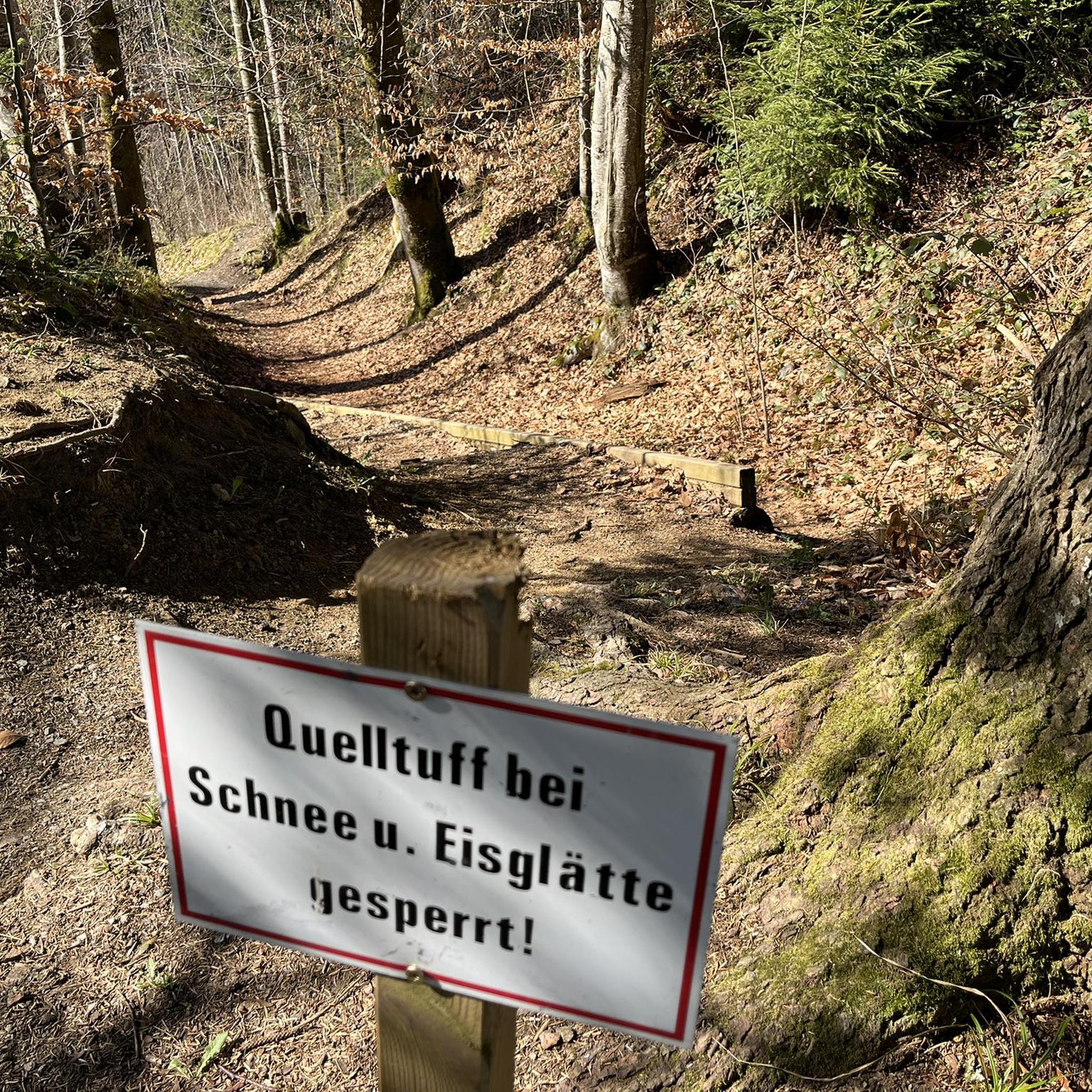
Hikes from bus stations around Barrage De Vezins
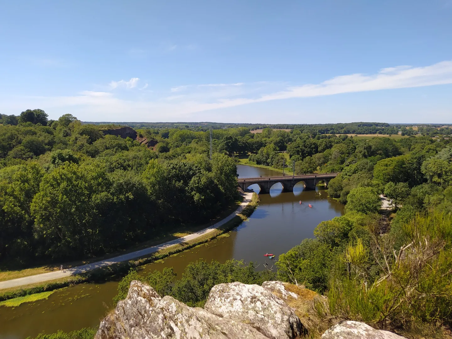
The GR 39 — On the historical traces of Brittany
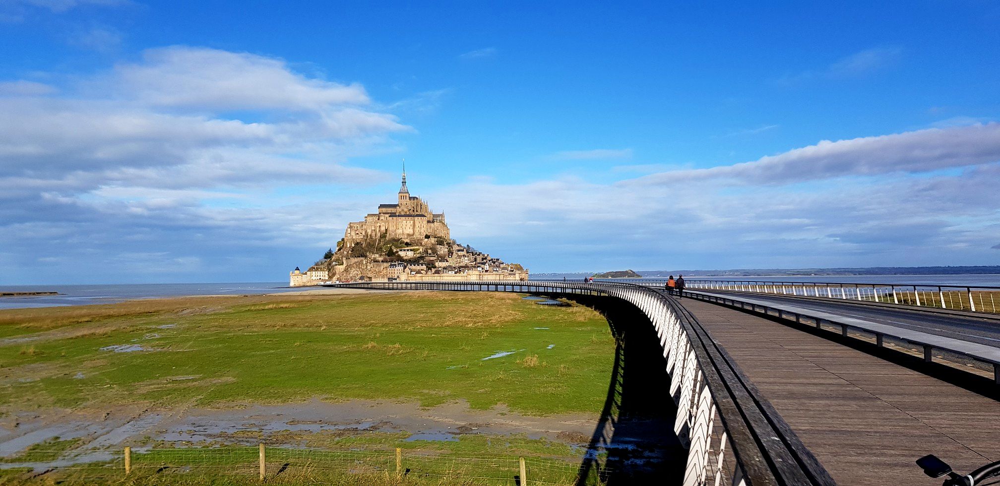
GR 22 to Mont-Saint-Michel – Miquelot's Walk
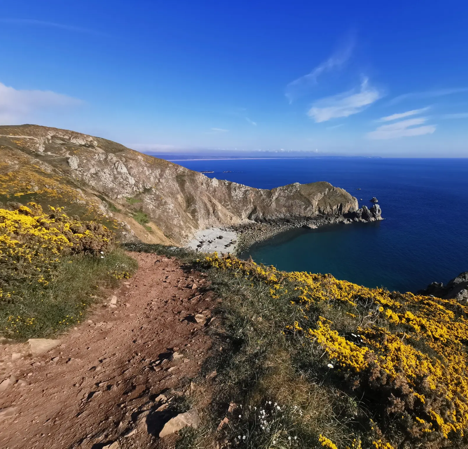
Hike from Cotentin to Mont-Saint-Michel in Normandy – GR 223 (part two)
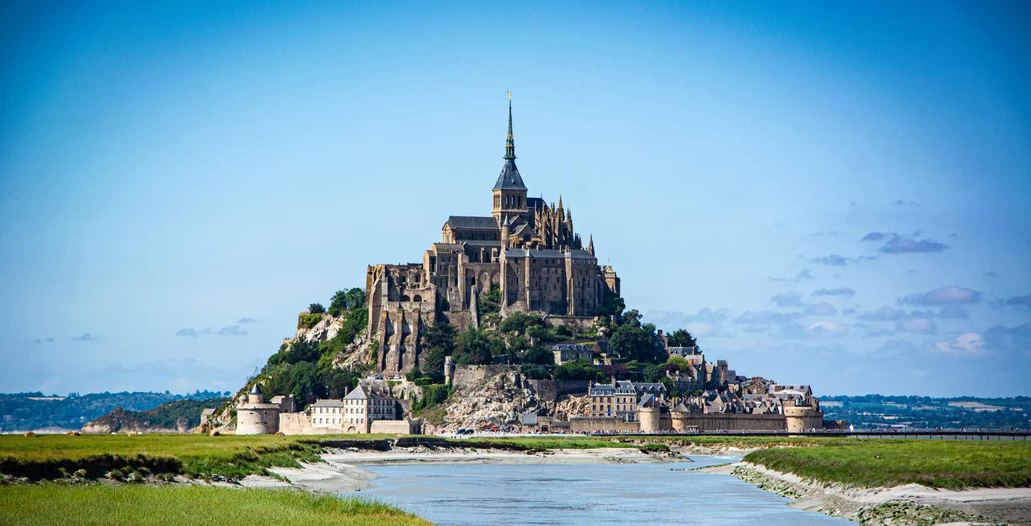
The Customs Officers’ Path – GR 34 between Saint-Malo and Pontorson
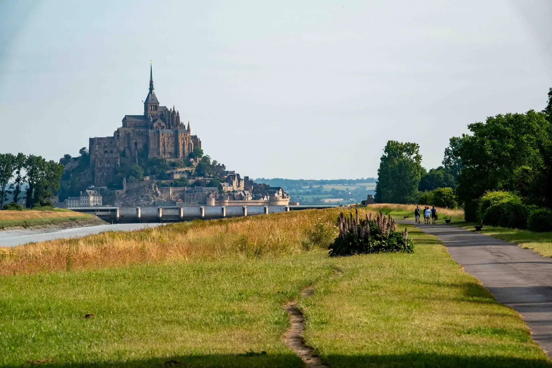
History and gastronomy - La Régalante
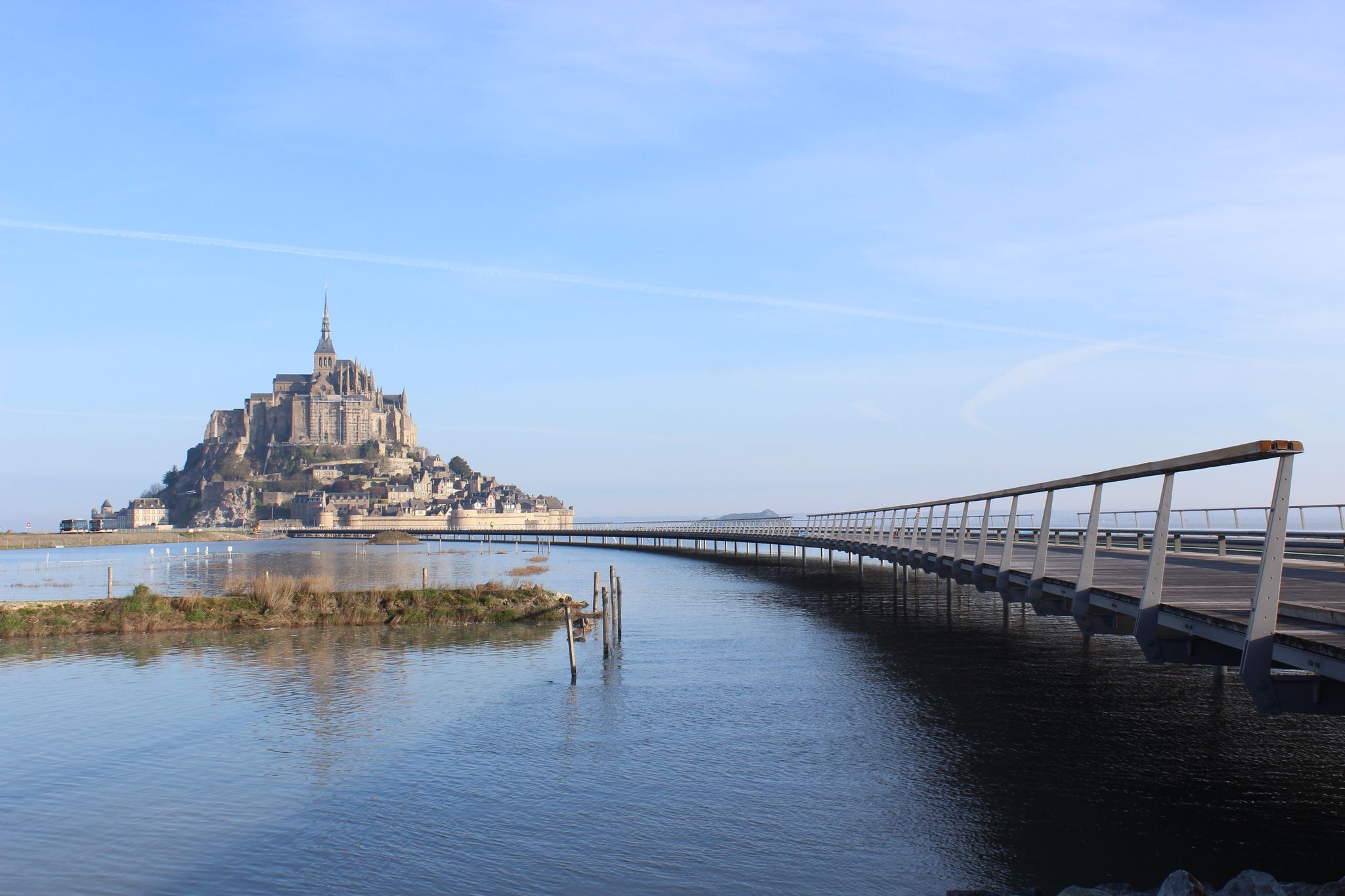
From Paris to Mont-Saint-Michel — La Véloscénie
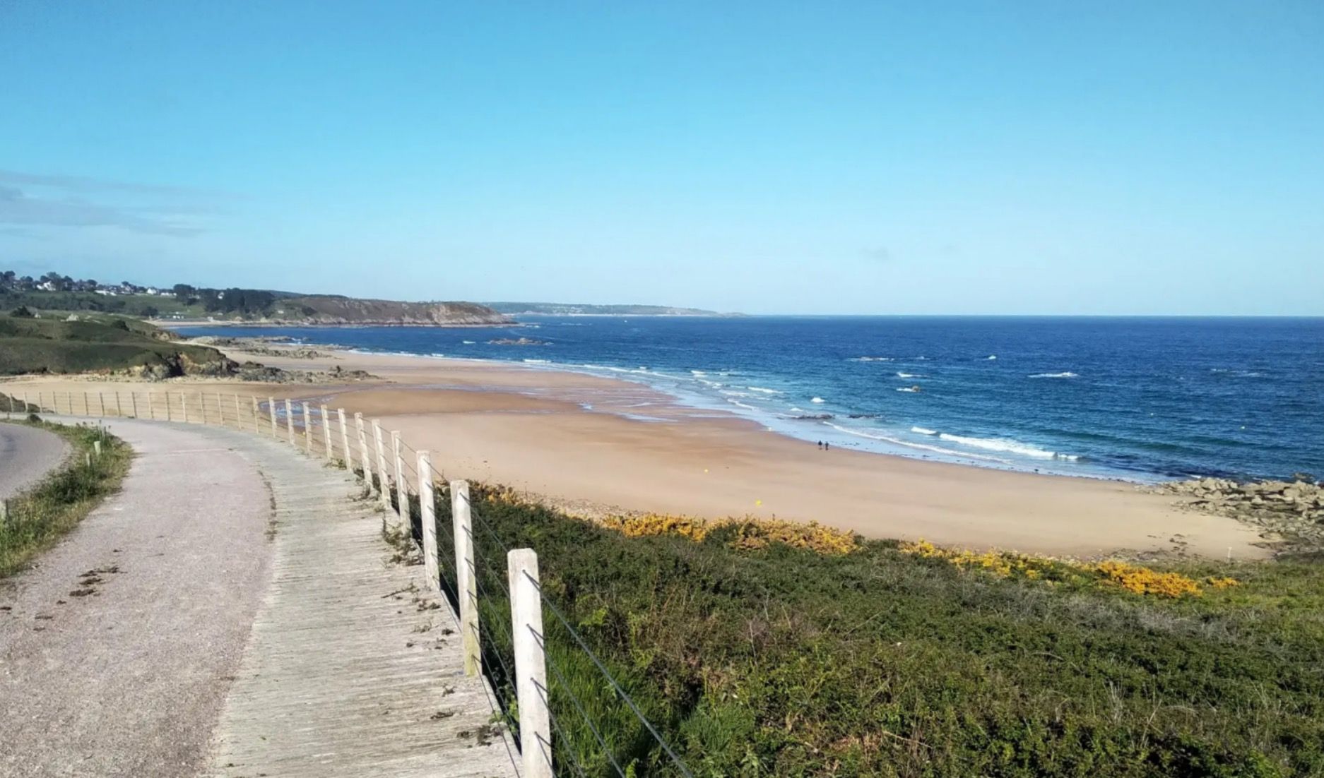
Sun cream and waterproof coats – 11 days in Brittany
From pink granite to the Opal Coast — cycle France’s la Vélomaritime
Coastlines of the English Channel — Tour de Manche
Other adventures around Avranches


Tips from the Community

From there it looks the strongest !!!
0
0

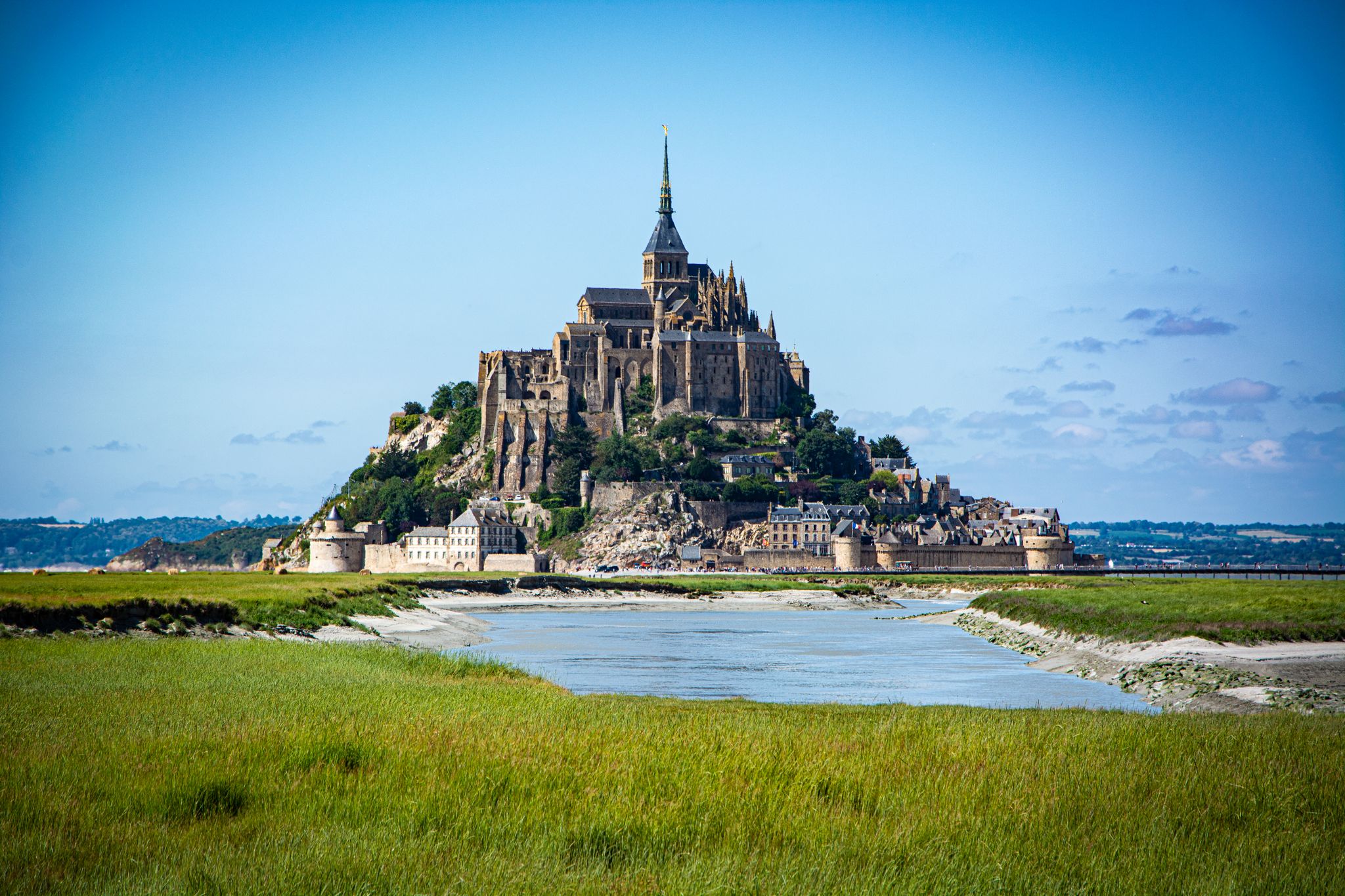
As early as the year 708, a sanctuary in honor of Archangel Michael was erected on Mont-Tombe (its original name). The mountain quickly became an important place of pilgrimage. The building “La Merveille” is an architectural masterpiece by the master builders of the 13th century. They constructed the building around the granite rock on a total of four crypts, which can support an 80 m long church. They also succeeded in building two three-story buildings on the north slope of the steep rock face. In other words, monastic life took place in vertically constructed rooms, including a cloister. An architectural masterpiece and absolutely imposing.
1
0

Practical for going to Pontorson station
0
0


Take advantage of the early hour, later the push will be mighty
2
0
Arrive there quite early in the morning, then you will avoid the biggest crowds
1
0
And at low tide you can also go completely around the outside
0
0
Frequently Asked Questions
How many bus-accessible hiking trails are there around Avranches?
There are over 200 hiking trails around Avranches that are accessible by bus, offering a wide range of options for all skill levels. This includes 98 easy routes, 107 moderate routes, and 9 difficult routes.
What kind of terrain can I expect on bus-accessible hikes near Avranches?
The region around Avranches offers incredibly diverse terrain. You can expect panoramic views of the Bay of Mont Saint-Michel, vast saltmarshes along the Sélune estuary, and the classic Normandy bocage with its hedgerows and rolling hills. River valleys like the Lude Valley and the banks of the Sélune, winding through the Ardennes forest, also feature prominently. To the east, the Mortainais region offers preserved green countryside.
Are there easy bus-accessible hikes suitable for beginners or families?
Yes, there are 98 easy routes accessible by bus, many of which are suitable for beginners and families. For instance, the Carolles Beach – Vauban Hut at Carolles loop from Jullouville is an easy 7 km route. The Mortainais region also features smaller, shaded waterfalls ideal for family walks.
Can I find longer, more challenging routes accessible by bus?
Absolutely. The area boasts 107 moderate and 9 difficult routes accessible by bus. A moderate option is the Vauban Hut at Carolles – Lude Valley loop from Carolles, which covers over 10 km with notable elevation changes. The Mortainais region also offers more challenging trails like the 'Crests and Monuments of Mortain Trail'.
Which bus-accessible trails offer views of Mont Saint-Michel?
Many elevated points and coastal paths around Avranches provide stunning views of Mont Saint-Michel. The Jardin des Plantes in Avranches offers panoramic vistas. The historic Customs Officers' Path (GR 34) also features sections with direct or scenic views, such as the easy 7.1 km stretch towards Mont Saint-Michel.
Are there any waterfalls accessible by bus near Avranches?
Yes, the Mortainais region, east of Avranches, is known for its spectacular waterfalls. You can find a 25-meter fall and a smaller, shaded waterfall, both offering beautiful natural sights. The Saint-Vital Chapel – Needle Rock loop from Mortain is a moderate route in this area that allows you to explore the local landscape.
Are there circular routes available from bus stops in Avranches?
Yes, numerous well-marked circular trails are available. Examples include the Vauban Hut at Carolles – Lude Valley loop from Carolles and the Carolles Beach – Vauban Hut at Carolles loop from Saint-Jean-le-Thomas. Avranches itself also offers a varied circular route described as a 'balcony on the Bay of Mont Saint Michel', exploring the town's historical sites.
What natural features can I explore on these bus-accessible hikes?
Beyond the iconic Bay of Mont Saint-Michel, you can explore the tranquil Lude Valley, the banks of the Sélune river winding through the Ardennes forest with its oak, beech, and birch woods, and coastal areas like Grouin du Sud. The region's saltmarshes also offer a unique, dynamic landscape.
Are there historical landmarks along the bus-accessible routes?
Avranches and its surroundings are rich in history. You can explore medieval fortifications, including ramparts and towers, within the town. The Mortainais region features historical sites like Saint Michael's Chapel. The Customs Officers' Path (GR 34) also offers historical insights along its coastal stretches.
What do other hikers say about the trails around Avranches?
The hiking trails around Avranches are highly rated by the komoot community, with an average score of 4.5 stars from over 3,800 ratings. Reviewers often praise the stunning views of Mont Saint-Michel, the diverse landscapes, and the well-maintained paths that cater to various fitness levels.
What is the best time of year to hike from Avranches bus stations?
The region is beautiful year-round, but spring and autumn offer particularly pleasant hiking conditions with mild temperatures and vibrant scenery. Spring is ideal for seeing the landscape come alive, while autumn brings colorful foliage. The Bay of Mont Saint-Michel is also characterized by vast saltmarshes that transform with the spring tides, offering a unique spectacle.
Can I bring my dog on these bus-accessible hikes?
Many trails in the Avranches region are dog-friendly, especially those in natural areas like the bocage and forest paths. However, it's always recommended to keep dogs on a leash, especially near livestock or in protected natural areas. Check local signage for specific restrictions, particularly in busier coastal sections or nature reserves.
Most popular routes around Avranches
Most popular attractions around Avranches

Get inspired with the komoot mobile app


Didn’t find what you were looking for?
Check out more Hikes throughout Avranches below and find the perfect route in your destination.
Explore more
Browse the best Hikes in other regions.
