The best hikes from bus stations around Bastia
4.4
(4461)
27,328
hikers
90
hikes
Bus station hiking trails around Bastia are situated on Corsica's northeastern coast, positioned between the Mediterranean Sea and the Serra di Pignu mountain range. The region features the rugged Cap Corse Peninsula, characterized by mountainous terrain, dramatic coastlines, and Mediterranean scrubland. Inland, the Biguglia Pond Nature Reserve offers diverse ecosystems and chestnut groves. The varied landscape provides options from coastal paths to mountain ascents.
Best bus station hiking trails around Bastia
- The most popular bus station hiking route is Old…
Last updated: August 26, 2026
4.8
(192)
1,463
hikers
Hard hike. Very good fitness required. Easily-accessible paths. Suitable for all skill levels.
4.4
(52)
203
hikers
9.95km
03:00
320m
320m
Moderate hike. Good fitness required. Mostly accessible paths. Sure-footedness required.

Sign up for free
4.5
(46)
143
hikers
5.99km
01:53
220m
220m
Moderate hike. Great for any fitness level. Mostly accessible paths. Sure-footedness required.
4.3
(16)
81
hikers
Moderate hike. Good fitness required. Mostly accessible paths. Sure-footedness required.
4.9
(13)
98
hikers
8.82km
03:56
600m
600m
Moderate hike. Good fitness required. Mostly accessible paths. Sure-footedness required.
Get access to more routes and recommendations from other explorers.
Sign up for free
Already have an account?
Our route recommendations are based on thousands of hikes, rides, and runs completed by other people on komoot.
Start today with a free account
Your next adventure awaits.
Login or Signup
Popular around Bastia
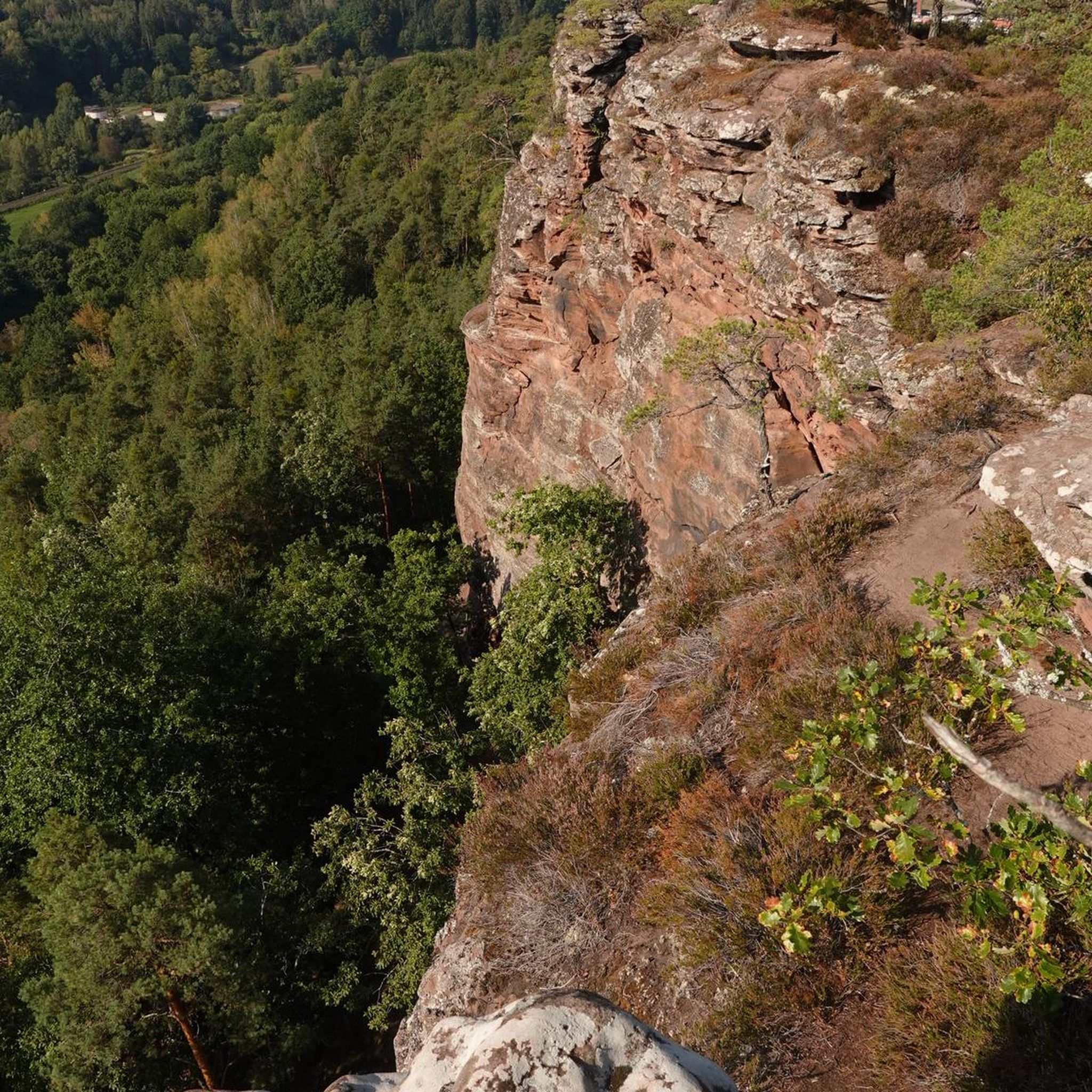
Hikes from bus stations around Étang de Biguglia
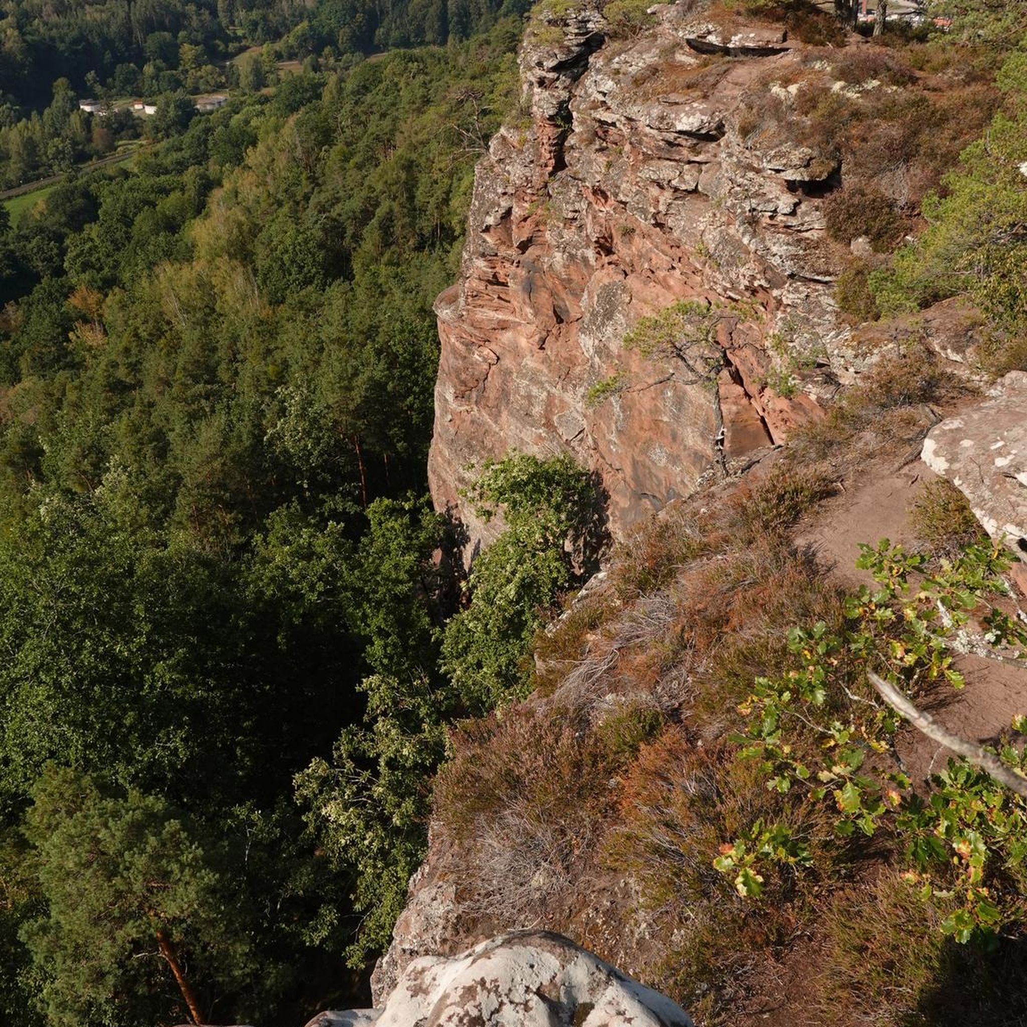
Hikes from bus stations in Réserve Naturelle De L'Étang De Biguglia
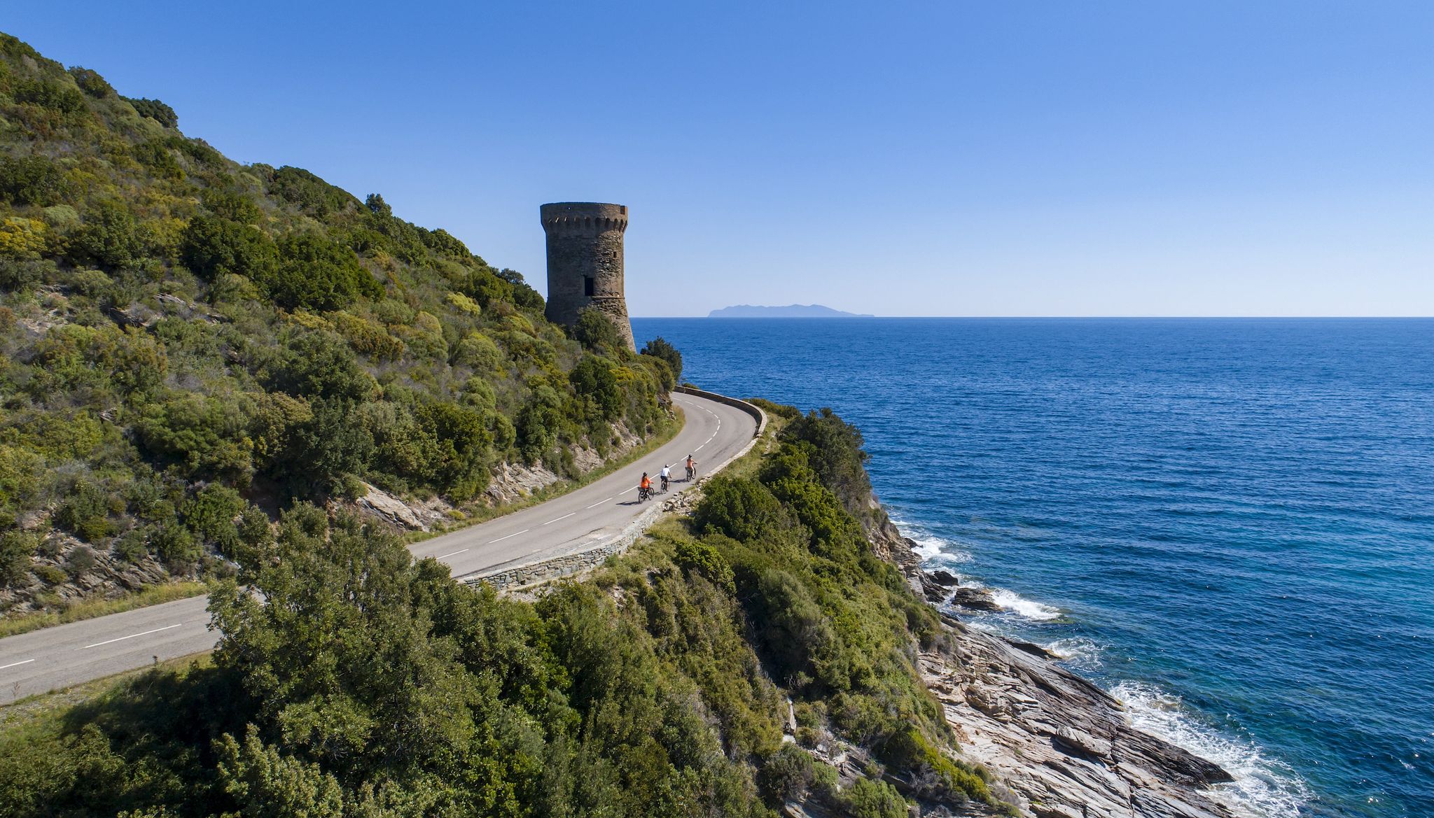
The Great Crossing of Corsica by bike – GT 20
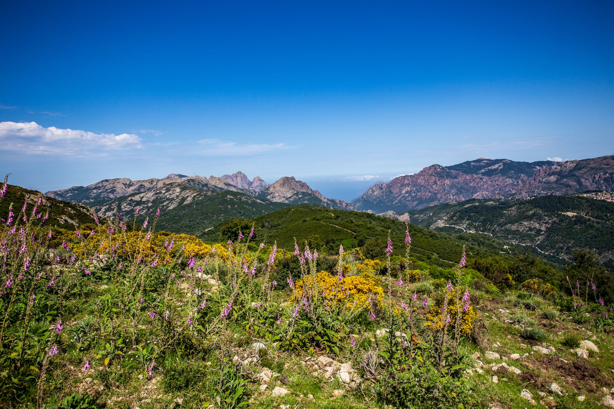
Always upwards - Passes in the north of Corsica
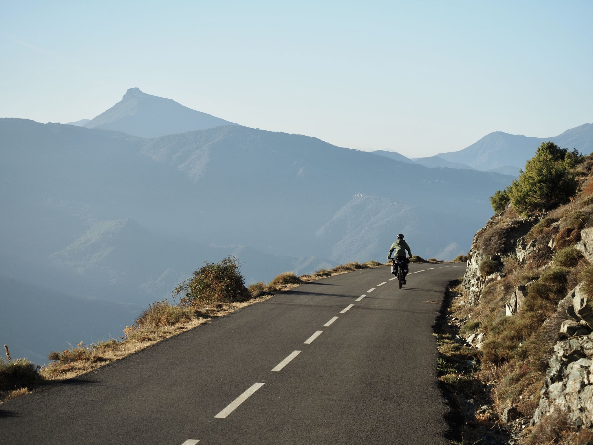
Crossing Corsica's GT20 – the greenest island in the Mediterranean
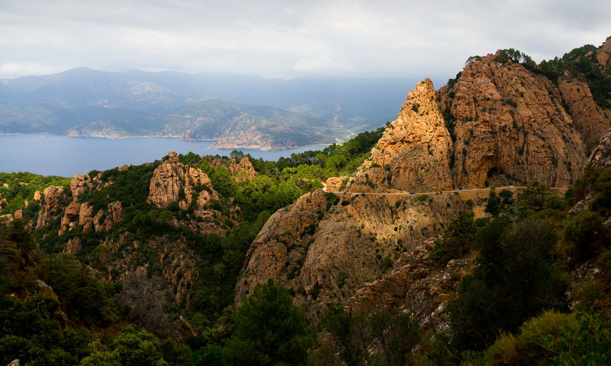
From Cape Corsica to Syracuse — three Mediterranean islands
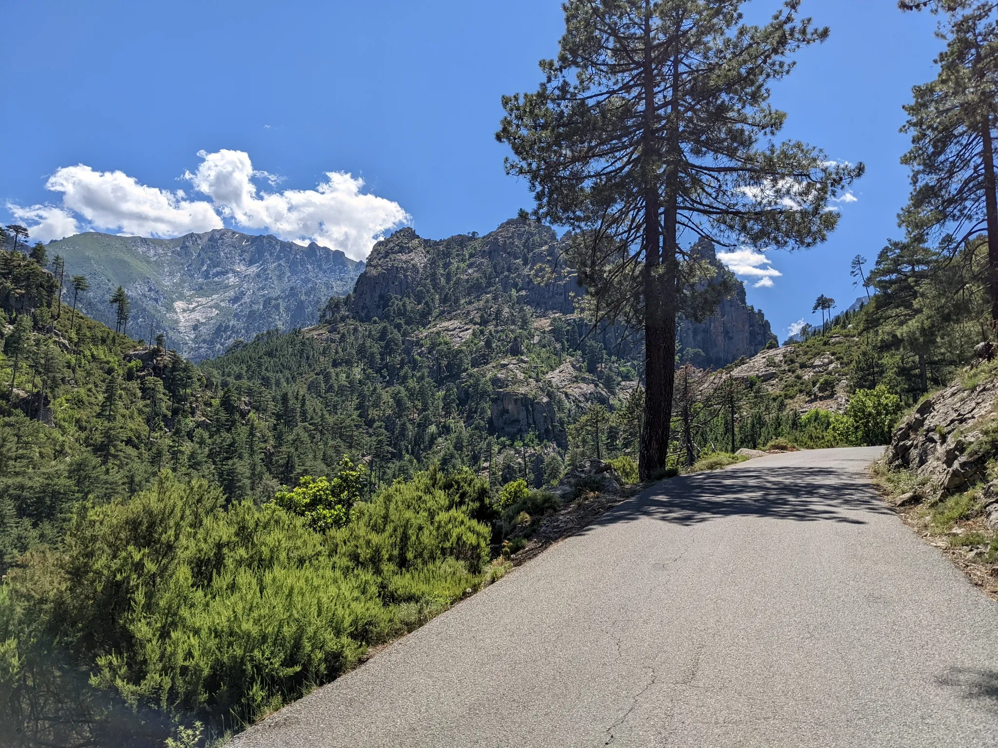
The mountains, the sea and you — discover Corsica by road bike
Other adventures around Bastia


Tips from the Community

A very original tour that is worth the trip!
0
0


August 2025 the cooler is open but come with a flashlight I couldn't find any light
0
0

Well worth seeing. A half-collapsed tower.
0
0

You feel like you're in the series Outlander..... Great place
0
0

Beautiful views all along the way. Sea, old watchtowers, small islands and a lighthouse line the cliffs.
0
2
Weathered watchtower with bathing bay.
0
2

The chapel of Santa Maria de Furiani is not a simple religious building. Perched above the village of Furiani, it offers a breathtaking view of the sea and Bastia. The rustic charm of the building enhances the landscape.
0
0
Frequently Asked Questions
How many hiking trails are accessible from bus stations around Bastia?
There are over 55 hiking routes accessible from bus stations around Bastia, offering a wide variety of experiences for different skill levels and interests. These trails allow you to explore the diverse landscapes of the region, from coastal paths to mountain ascents.
What kind of terrain can I expect on these bus-accessible hikes near Bastia?
The terrain around Bastia is incredibly varied. You can find coastal paths with sea views, such as the Tamarone Beach loop from Tomino, as well as trails leading through Mediterranean scrubland (maquis), chestnut groves, and oak forests. More challenging routes ascend into the Serra di Pignu mountain range, offering rocky paths and significant elevation changes.
Are there any family-friendly hiking options accessible by bus from Bastia?
Yes, several trails are suitable for families. For example, the Old Port of Bastia – Place Saint-Nicolas loop is an easy urban hike, perfect for a leisurely stroll. Many coastal walks also offer gentler gradients and opportunities to enjoy beaches like Tamarone Beach.
Can I bring my dog on these bus-accessible hiking trails?
Many trails in the Bastia region are dog-friendly, especially those in natural areas. However, it's always recommended to check local regulations for specific nature reserves or protected areas, such as the Biguglia Pond Nature Reserve, as rules can vary. Always keep your dog on a leash and clean up after them.
What are the typical distances and durations for these bus station hikes?
The routes vary significantly. You can find shorter, easy walks like the Tamarone Beach loop, which is about 5.3 km and takes around 1 hour 20 minutes. Moderate trails, such as the Mystical Forest Trail from Furiani, can be around 9 km and take over 2 hours. More difficult mountain ascents will naturally be longer and require more time.
What interesting landmarks or natural features can I see along these trails?
The trails offer a wealth of sights. You can encounter historic Genoese towers, picturesque villages, and stunning viewpoints. Notable attractions include the Tour de Sénèque with its panoramic views, the charming Saint John the Baptist Church in Bastia, and the unique black pebble beach near Nonza. Many routes also feature beautiful coastal vistas and the fragrant Mediterranean maquis.
What is the best time of year to go hiking near Bastia?
Spring (April-May) and autumn (September-October) are generally considered the best times for hiking in Bastia. The weather is pleasant, temperatures are mild, and the landscapes are vibrant. Summer can be very hot, especially for mountain trails, so early morning hikes are recommended. Winter offers cooler temperatures but some higher mountain paths might be inaccessible due to snow.
Are there any circular hiking routes accessible from bus stops?
Yes, many of the trails are designed as circular routes, allowing you to start and end at the same bus stop without needing to retrace your steps. Examples include the Old Port of Bastia – Place Saint-Nicolas loop and the View of Elba – Erbalunga Harbour loop, which are convenient for public transport users.
What do other hikers enjoy most about the bus-accessible trails around Bastia?
The area is highly rated by the komoot community, with an average score of 4.4 stars. Reviewers often praise the stunning coastal views, the historical landmarks like the Genoese towers, and the diverse natural beauty, from the Mediterranean Sea to the mountainous interior. The accessibility by public transport is also a frequently appreciated aspect.
Are there any cafes or places to eat near the trailheads or along the routes?
Many trails connect or pass through charming villages and towns, especially along the Cap Corse peninsula. In these locations, you'll often find local cafes, restaurants, and small shops where you can refuel. Bastia itself, being a larger city, has numerous options near its bus station and along the urban sections of trails.
What are some of the more challenging bus-accessible hikes in the region?
For those seeking a challenge, routes that ascend into the Serra di Pignu mountain range offer significant elevation gains and more rugged terrain. While not directly listed in the provided routes, the region research mentions trails like the Monte Stello loop, which requires good fitness and offers extensive views from the second-highest peak in Cap Corse. Always check the difficulty rating and elevation profile before embarking on a challenging hike.
Most popular routes around Bastia
Most popular attractions around Bastia

Get inspired with the komoot mobile app


Didn’t find what you were looking for?
Check out more Hikes throughout Bastia below and find the perfect route in your destination.
Explore more
Browse the best Hikes in other regions.
