The best hikes from bus stations around Sarreguemines
4.5
(8219)
34,924
hikers
326
hikes
Bus station hiking trails around Sarreguemines offer access to a diverse landscape characterized by the Saar, Blies, and Albe river valleys. The region features ancient forests, extensive wetlands, and unique chalky grasslands, providing varied terrain for hikers. Geological formations like the Tziganes Rock and Altschloss Rocks add to the natural features. This area provides a network of trails suitable for exploring its natural and historical elements.
Best bus station hiking trails around Sarreguemines
- The most popular bus station hiking route…
Last updated: November 2, 2026
4.4
(57)
160
hikers
12.8km
03:30
190m
190m
Moderate hike. Good fitness required. Easily walkable paths.
4.4
(50)
183
hikers
Easy hike. Easily walkable paths.

4.7
(30)
110
hikers
10.9km
03:01
180m
180m
Moderate hike. Good fitness required. Easily walkable paths.
4.8
(23)
60
hikers
8.31km
02:18
140m
140m
Moderate hike. Good fitness required. Easily walkable paths.
4.6
(24)
111
hikers
13.7km
03:42
180m
180m
Moderate hike. Good fitness required. Easily walkable paths.
Get access to more routes and recommendations from other explorers.
Already have an account?
Our route recommendations are based on thousands of hikes, rides, and runs completed by other people on komoot.
Start today with a free account
Your next adventure awaits.
Popular around Sarreguemines

Hikes from bus stations around Forêt domaniale de Hanau III

Hikes from bus stations around Etang De Diefenbach

Hikes from bus stations in Forêt Domaniale De Lemberg

Hikes from bus stations in Forêt De Puttelange

Hikes from bus stations around Buchholzerwald
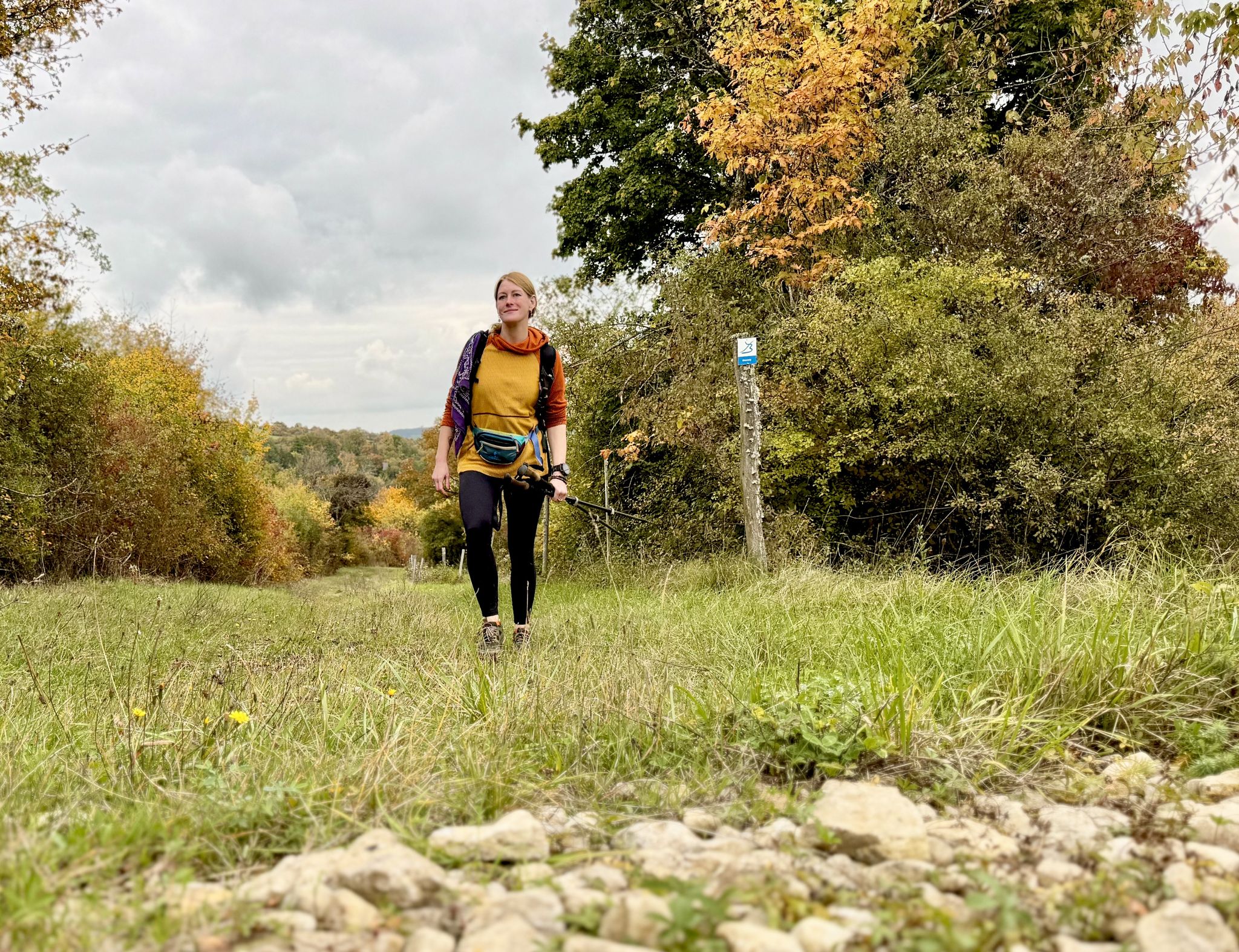
The Bliessteig – Saarland's colorful autumn dream
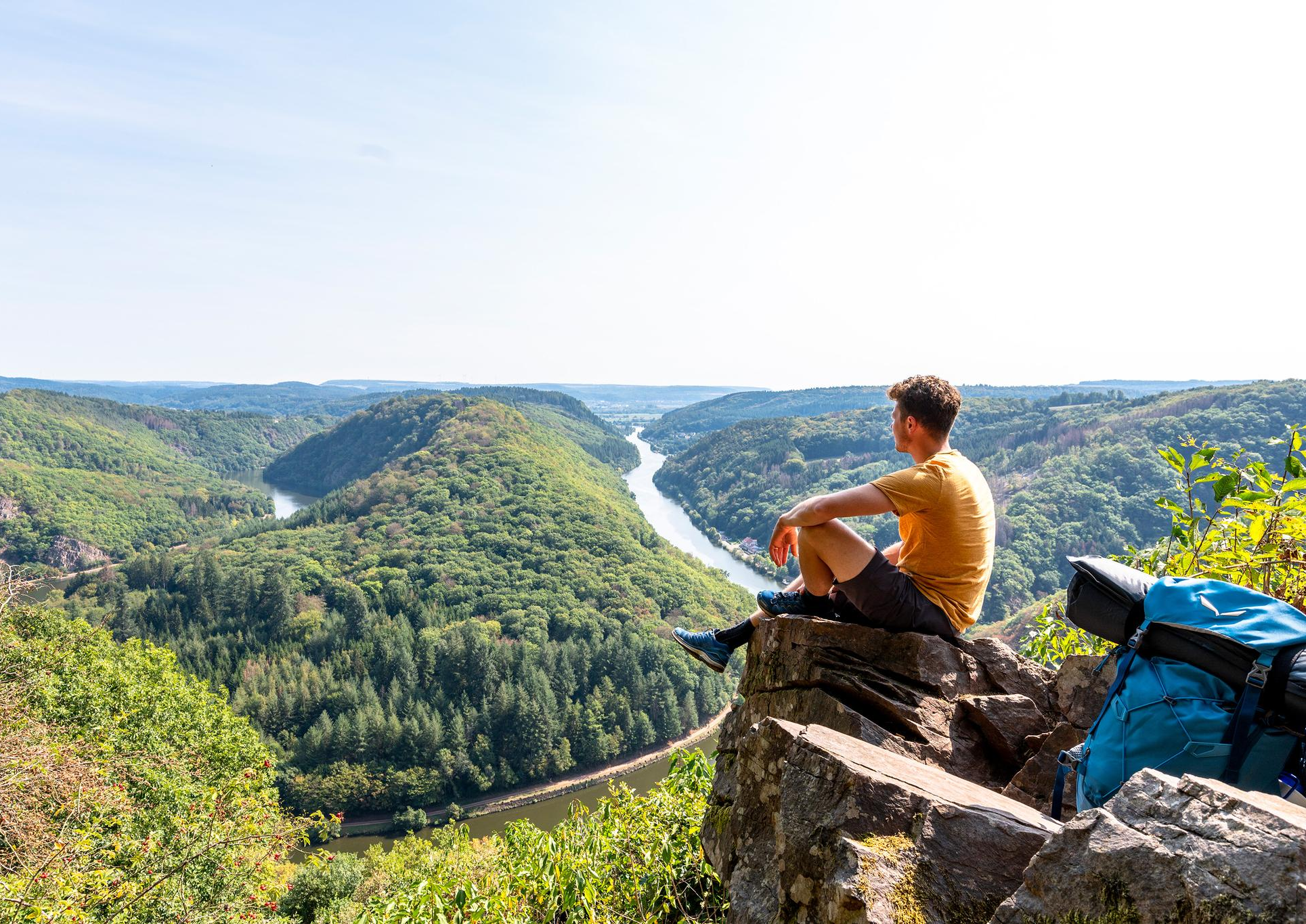
So close, so diverse – the most beautiful hikes in Saarland
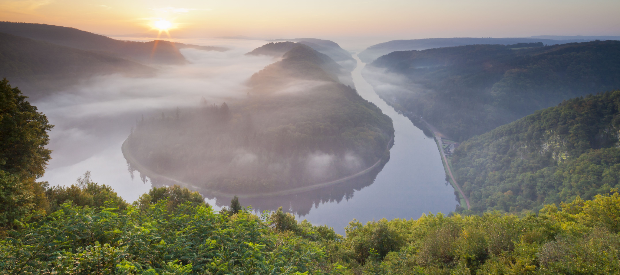
Between the Saarschleife and the Blies – the most beautiful hikes in Saarland
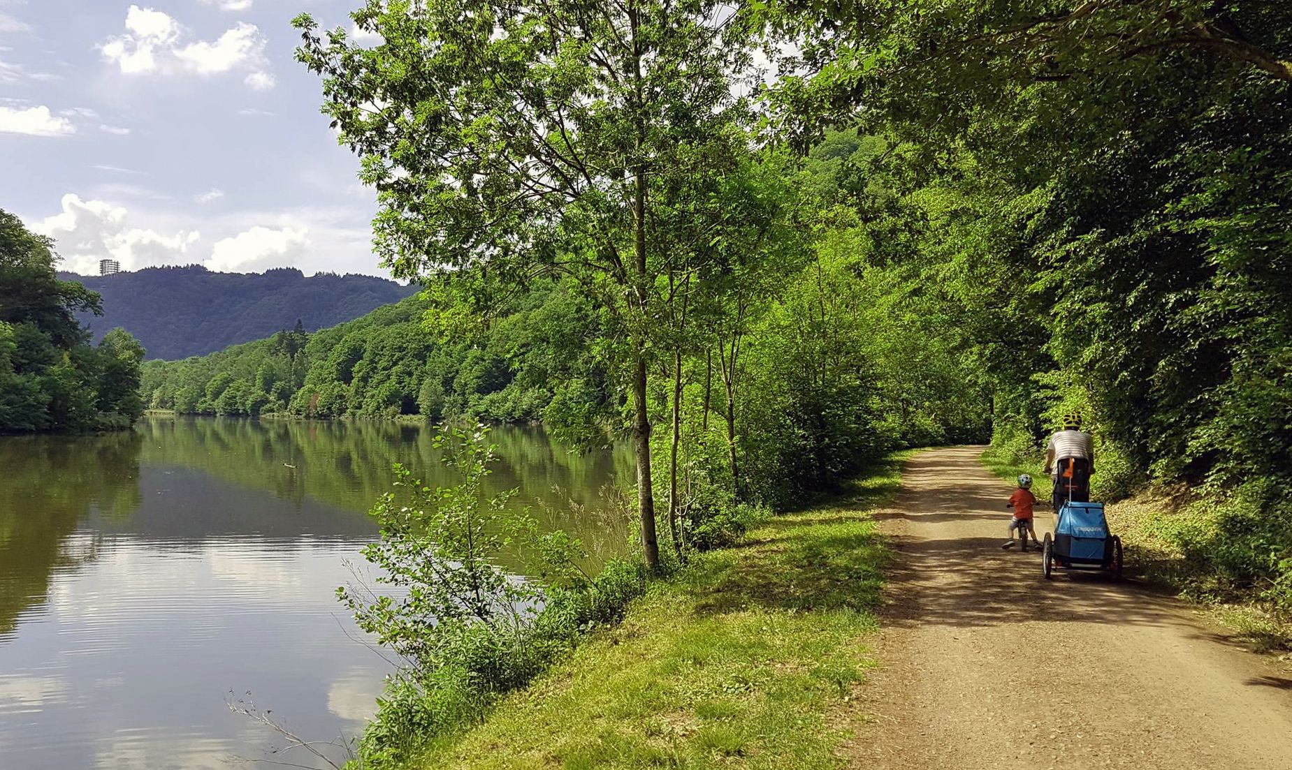
Saar Cycle Route — through the Saarland to the Moselle
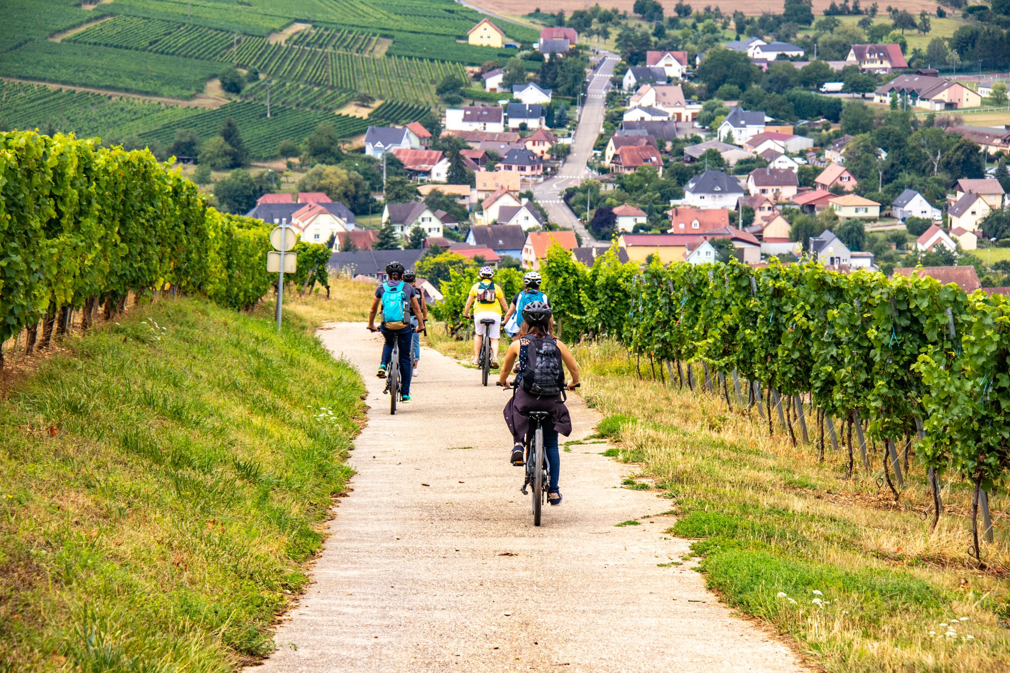
EuroVelo 5 - Via Romea (Moselle - Alsace)
Other adventures around Sarreguemines


Tips from the Community

With one foot in Germany and the other in France. Only a small sign at the beginning of the bridge points out that you are crossing the border here
0
0

The campsite itself is rather average. But the people are very nice and the location in Baerenthal is very beautiful. Good as a starting point for trial explorations or hikes in the area.
0
0

Whether at sunrise or in Saharan dust - always worth a look.
0
0
Before six o'clock in the early morning.
0
0

A beautiful, nature-close campsite. Check-in and check-out are uncomplicated here and many things are made possible.
0
0
The small road to the Rosselhof is often used by anglers for parking
0
0
A beautiful flat and mostly shady path along the "northern Zinsel".
2
0
Frequently Asked Questions
How many bus-accessible hiking trails are available around Sarreguemines?
There are over 300 hiking trails around Sarreguemines that are accessible by bus, offering a wide range of options for all fitness levels. These routes are designed to help you explore the diverse landscapes of the Saar, Blies, and Albe Valleys.
What kind of natural landscapes can I expect to see on these bus station hikes?
The region around Sarreguemines offers a rich variety of natural settings. You can explore ancient forests, picturesque rivers like the Saar and Blies, ponds, and wetlands. Notable natural highlights include the Ippling Moor, a Natura 2000 site, and the Kolmer grasslands, known for their unique flora and fauna. You might also encounter impressive geological formations such as the Altschlossfelsen sandstone rock formation.
Are there any easy, family-friendly routes accessible by bus?
Yes, many of the trails are suitable for families. For example, the Mühlenwald Pond – Border Bridge over the River Blies loop from Sarreguemines is an easy 5.8 km route that offers pleasant scenery. The region boasts over 120 easy routes, many of which are perfect for a relaxed family outing.
What do other hikers enjoy most about the bus-accessible trails in Sarreguemines?
The komoot community highly rates the hiking experience around Sarreguemines, with an average score of 4.5 stars. Hikers often praise the well-maintained and signposted trails, the diverse natural beauty, and the convenience of accessing these routes directly from bus stations. The blend of natural and historical attractions is also frequently highlighted.
Can I find circular hiking routes from bus stations?
Yes, many of the bus-accessible trails are circular, allowing you to start and end your hike at the same bus stop. An example is the Golf petit tour – Golf loop from Rilchingen-Hanweiler, an easy 5 km circular route.
Are there any historical sites or points of interest along these trails?
Absolutely. Many routes incorporate the region's heritage. You can find trails that pass by restored washhouses, or explore loops around the ponds of the Aquatic Maginot Line. The Sarreguemines Riverside Promenade and the Harbor of the old Saar barges are also accessible and offer glimpses into the area's past.
What is the best time of year to hike around Sarreguemines?
Sarreguemines offers enjoyable hiking experiences throughout the year. Spring brings blooming flora, while summer is ideal for riverside walks and shaded forest trails. Autumn showcases beautiful fall foliage, and even winter offers serene walks, especially along the frozen ponds or through quiet woodlands. Always check local weather conditions before heading out.
Are there any trails that cross the border into Germany?
Yes, the region offers unique "Franco-German" walks, with trails extending into neighboring Germany. These cross-border routes provide panoramic views and a chance to experience the shared natural beauty of both countries. The Mühlenwald Pond – Border Bridge over the River Blies loop is one such example that touches the border.
Are dogs allowed on the bus-accessible hiking trails?
Generally, dogs are welcome on most hiking trails in the Sarreguemines region, provided they are kept on a leash and owners clean up after them. It's always a good idea to check specific trail regulations or local signage, especially in protected natural areas like the Ippling Moor, to ensure compliance.
Where can I find more information about the protected natural areas in Sarreguemines?
The Sarreguemines region is committed to preserving its natural areas. You can find more detailed information about the protected sites, such as the Ippling Moor and the Kolmer grasslands, and their ecological significance on the official tourism website: sarreguemines-tourisme.com.
Are there any trails that feature ponds or lakes?
Many trails in the area incorporate beautiful ponds and lakes. For instance, the Down in the tower – Lieschbach Pond loop from Lieschbach takes you around the scenic Lieschbach Pond. Other notable ponds include Hanau Pond and Hasselfurth pond, offering tranquil spots for nature observation.
Most popular routes around Sarreguemines
Most popular attractions around Sarreguemines

Get inspired with the komoot mobile app


Didn’t find what you were looking for?
Check out more Hikes throughout Sarreguemines below and find the perfect route in your destination.
Explore more
Browse the best Hikes in other regions.
