The best hikes from bus stations around Montbrison
4.5
(4049)
22,334
hikers
333
hikes
Bus station hiking trails around Montbrison offer access to diverse landscapes within the Loire department of France. The region is characterized by its proximity to the Livradois-Forez Regional Natural Park, featuring extensive forest and alpine environments, and the Monts du Forez. Hikers can explore varied terrain, from gentle riverside paths along the Loire Gorges to more challenging ascents in the mountains. This area provides a blend of natural beauty and historical elements, with trails passing through woodlands, open fields, and…
Last updated: July 2, 2026
4.4
(28)
147
hikers
Moderate hike. Good fitness required. Easily-accessible paths. Suitable for all skill levels.
4.4
(20)
137
hikers
8.15km
02:05
30m
30m
Moderate hike. Good fitness required. Easily-accessible paths. Suitable for all skill levels.

Sign up for free
4.6
(14)
83
hikers
13.2km
03:56
420m
420m
Moderate hike. Good fitness required. Easily-accessible paths. Suitable for all skill levels.
4.7
(12)
54
hikers
11.8km
03:44
470m
470m
Moderate hike. Good fitness required. Easily-accessible paths. Suitable for all skill levels.
4.7
(10)
59
hikers
15.5km
04:40
510m
510m
Moderate hike. Good fitness required. Easily-accessible paths. Suitable for all skill levels.
Get access to more routes and recommendations from other explorers.
Sign up for free
Already have an account?
Our route recommendations are based on thousands of hikes, rides, and runs completed by other people on komoot.
Start today with a free account
Your next adventure awaits.
Login or Signup
Popular around Montbrison
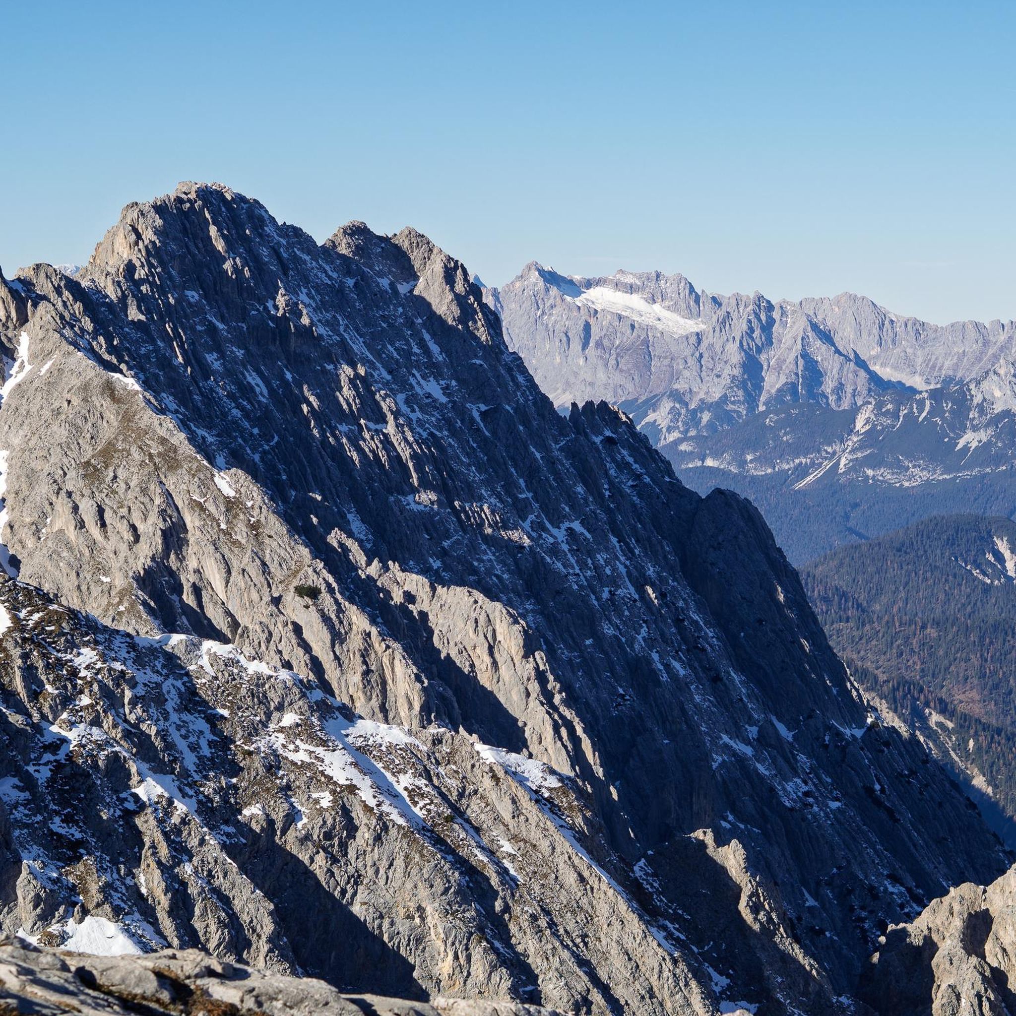
Hikes from bus stations in Réserve Naturelle Régionale Des Jasseries De Colleigne
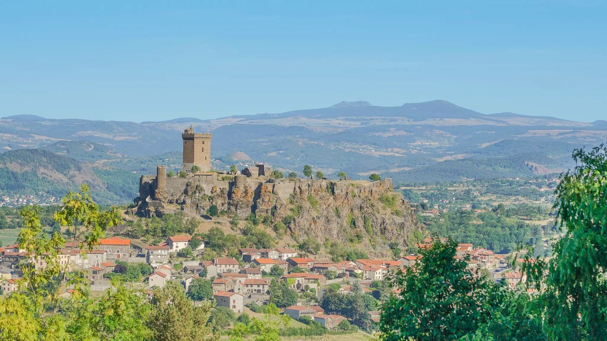
The Loire from ocean to source – GR 3 between Chabreloche and Puy-en-Velay
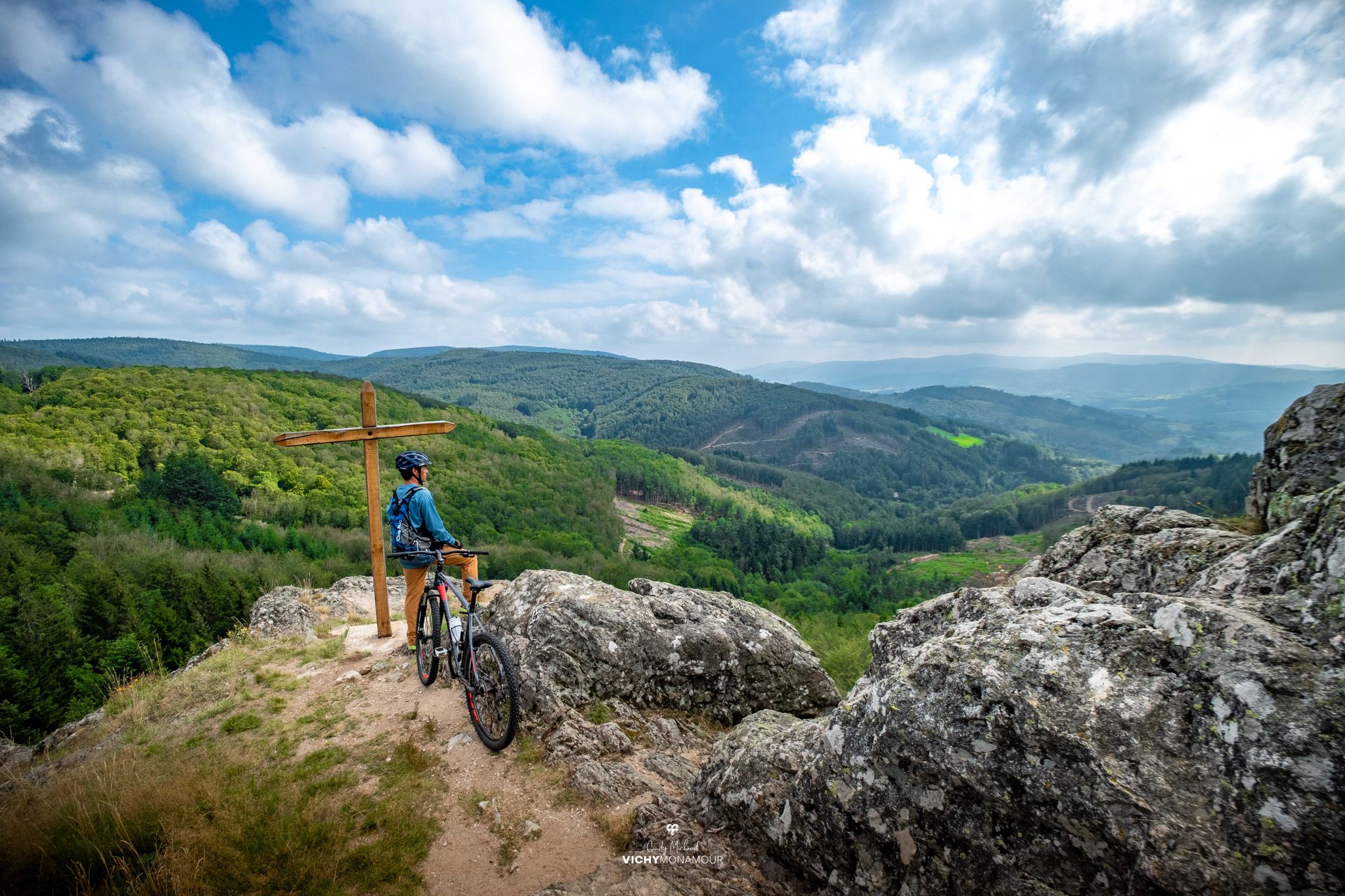
Destination Grand'R — the largest FFC-MTB area in France
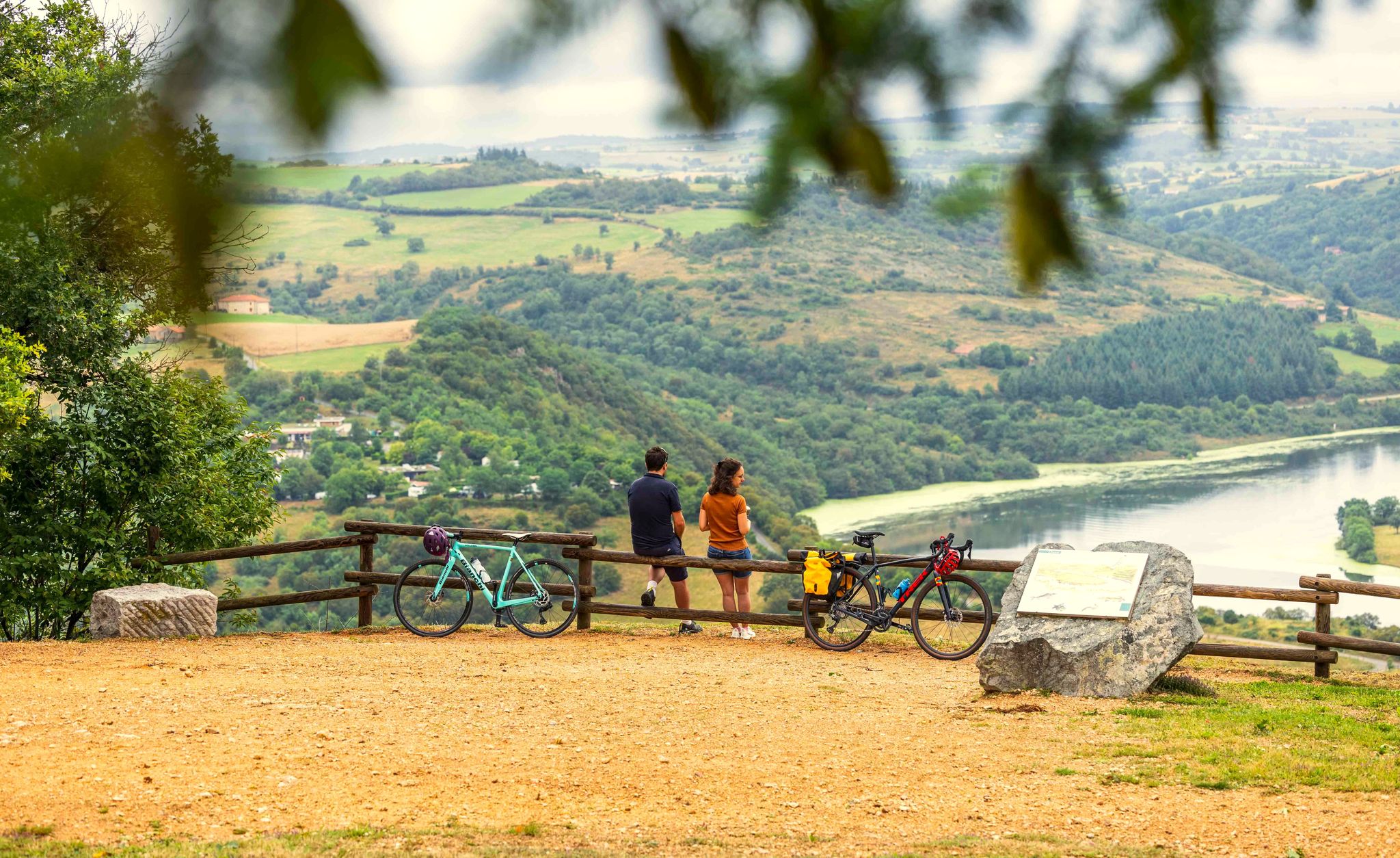
A green escape along the Loire river – La Véloire
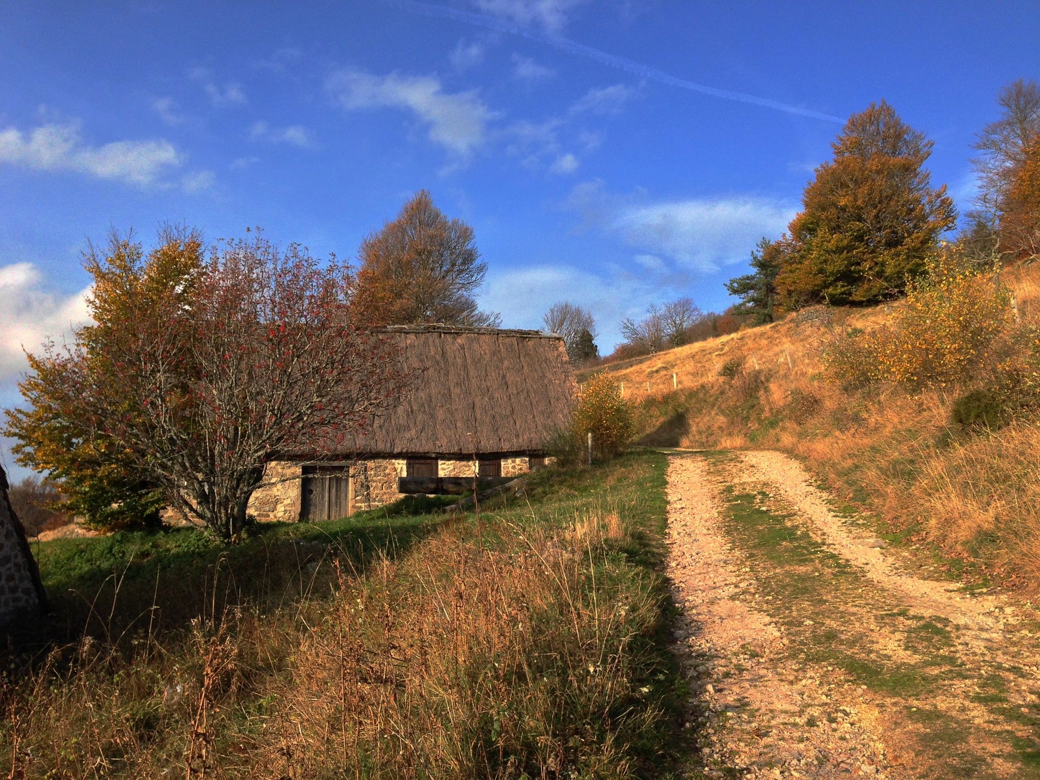
Local produce and traditions – Tour of the Livradois-Forez by MTB
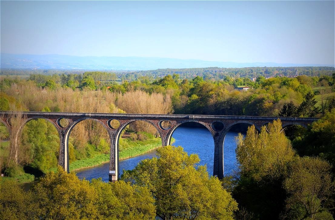
From castle to castle along the Loire - Long-distance cycle route Véloire
Other adventures around Montbrison


Tips from the Community

A breathtaking view that is worth the effort and wild landscapes! What a natural spectacle, wow! Undeniably one of the places not to be missed in Auvergne.
1
0

Pretty village with many artists settled there
0
0

Short hike allowing you to discover a site designed for the pleasure of the eyes and the discovery of the forest.
0
0

I have been cycling this route for over 40 years and I never get tired of it.
0
0

From Montarcher you have a breathtaking view of the Loire Valley all the way to the Alps
0
0

The highest point of the Forez mountains, Pierre-sur-Haute rises to an altitude of 1,634 meters. At the summit, terrestrial and military broadcasting antennas were erected by NATO during the Cold War. They are still in operation today.
0
0

This is the highest point of the Monts du Drill, a few minutes from the Col du Beal, it offers a 360° panorama of the entire region.
1
0

Very nice connection between Le Béal and Les Supeyres!
0
0
Frequently Asked Questions
How many hiking trails are accessible from bus stations around Montbrison?
There are over 300 hiking routes around Montbrison that are accessible from bus stations. These trails offer a wide range of experiences, from easy strolls to more challenging ascents, catering to various fitness levels.
Are there easy hiking trails suitable for beginners or families near Montbrison bus stations?
Yes, Montbrison offers a good selection of easy trails perfect for beginners or families. Approximately 75 routes are classified as easy. For a gentle walk, consider the "Étangs d’Andrézieux-Bouthéon – Pont des Magasins loop from Andrézieux-Bouthéon", which features minimal elevation gain and pleasant scenery.
Can I find more challenging hikes accessible by public transport around Montbrison?
Absolutely. For those seeking a more rigorous challenge, there are around 40 difficult routes available. The region's proximity to the Monts du Forez and the Pilat Regional Nature Park provides opportunities for demanding treks with significant elevation changes. An example is the "Pierre-sur-Haute – Station de ski de chalmazel loop from Chalmazel" which offers substantial climbs.
Are there circular hiking routes from bus stations in the Montbrison area?
Many of the trails accessible from bus stations around Montbrison are circular, allowing you to start and end your hike at the same point without needing to arrange return transport. For instance, the "Church of Marols – Montarcher loop from Marols" is a moderate circular route that takes you through charming villages.
What kind of landscapes and natural features can I expect to see on these hikes?
The Montbrison area boasts diverse landscapes. You can expect unique forest and alpine environments, especially within the Livradois-Forez Regional Natural Park. Trails also feature scenic lake views, such as those around Noirétable Lake, and impressive vistas of the Loire River in the Loire Gorges. The Monts du Forez offer varied terrain, including routes to the Hautes Chaumes.
Are there any historical sites or landmarks along the bus-accessible hiking trails?
Yes, many trails around Montbrison integrate historical and cultural elements. You can encounter medieval castles, ancient chapels, and charming settlements. The "Montrond-les-Bains Castle – The Loire River loop from Cuzieu" passes by a notable historical structure. Other routes might lead you through places like Montarcher or Marols, which are rich in history.
Are the hiking trails around Montbrison bus stations dog-friendly?
While specific regulations can vary by trail and protected area, generally, many hiking trails in the Montbrison region are dog-friendly, especially if your dog is kept on a leash. It's always a good idea to check local signage for any restrictions, particularly in nature reserves or near livestock. Always ensure you carry water for your dog and clean up after them.
What do other hikers enjoy most about hiking in Montbrison?
The hiking experiences around Montbrison are highly rated by the komoot community, with an average score of 4.57 stars. Reviewers often praise the region's diverse landscapes, the well-maintained trail networks, and the blend of natural beauty with historical points of interest. The accessibility of trails via public transport is also a frequently appreciated aspect.
Are there trails that offer great viewpoints or panoramic vistas?
Yes, the region offers several trails with stunning viewpoints. Hikes in the Monts du Forez and the Pilat Regional Nature Park, such as the Pilat Loop, provide spectacular panoramic views of the Rhône valley and the Massif Central. You can also find scenic river views along the Loire Gorges, including spots like the Panoramic view of the island of Grangent.
What is the typical length and duration of bus-accessible hikes in Montbrison?
The length and duration of bus-accessible hikes vary significantly. You can find shorter walks, like the "Étangs d’Andrézieux-Bouthéon – Pont des Magasins loop from Andrézieux-Bouthéon" at about 10 km, taking around 2.5 hours. More challenging routes, such as the "Béal Pass – Summit of Peyre Mayou loop from Chalmazel", can be around 12 km and take over 3.5 hours, depending on your pace and elevation gain.
Are there any trails that pass by lakes or rivers?
Many trails in the Montbrison area feature beautiful water elements. The Loire Gorges offer stunning riverside walks along the Path along the Loire River. You can also find routes that pass by serene lakes, such as Noirétable Lake or Le Bezan, providing picturesque settings for your hike.
Most popular routes around Montbrison
Most popular attractions around Montbrison

Get inspired with the komoot mobile app


Didn’t find what you were looking for?
Check out more Hikes throughout Montbrison below and find the perfect route in your destination.
Explore more
Browse the best Hikes in other regions.
