The best hikes from bus stations around Chalon-Sur-Saône
4.6
(2544)
13,479
hikers
347
hikes
Bus station hiking trails around Chalon-Sur-Saône offer access to a diverse landscape in the Bourgogne-Franche-Comté region of France. The area is characterized by rolling hills, extensive vineyards of the Côte Chalonnaise, and dense forests. Hikers can explore river valleys along the Saône and Canal du Centre, with numerous viewpoints providing panoramic vistas. The terrain includes gentle slopes, elevated plateaus, and some steeper ascents, providing varied hiking experiences.
Best bus station hiking trails around Chalon-Sur-Saône
- The most popular bus station hiking route is Jambles: From One Slope to Another Trail, a 3.6 miles (5.8 km) trail that takes 1 hour 43 minutes to complete. This easy route features varied terrain with an elevation gain of 595 feet (181 meters).
- Another top favourite among local hikers is Culles-les-roches and the Géorama Route — loop, a moderate 4.7 miles (7.6 km) path. This loop offers views of the local landscape and takes approximately 2 hours 9 minutes to finish.
- Local hikers also love the Montchanin pond loop from Montchanin, a 2.5 miles (4.0 km) trail leading through a flat, scenic area, often completed in about 1 hour.
- Hiking around Chalon-Sur-Saône is defined by vineyard-covered hillsides, river valleys, and forested areas, with options ranging from easy strolls to more challenging ascents. The network offers options for different ability levels, including family-friendly bus accessible hikes.
- The routes in Chalon-Sur-Saône are highly rated by the komoot community with an average score of 4.6 stars from more than 2,200 reviews. More than 12,000 hikers have used komoot to explore Chalon-Sur-Saône's varied terrain.
Last updated: July 2, 2026
4.5
(20)
51
hikers
5.76km
01:43
180m
180m
An easy 3.6-mile (5.8 km) loop hike from Jambles to Mount Avril, offering 595 feet (181 metres) of elevation gain and a rewarding view.
4.1
(7)
15
hikers
7.64km
02:09
150m
160m
Moderate hike. Good fitness required. Easily-accessible paths. Suitable for all skill levels.

Sign up for free
4.8
(6)
65
hikers
3.96km
01:01
10m
10m
Easy hike. Great for any fitness level. Easily-accessible paths. Suitable for all skill levels.
4.9
(12)
23
hikers
7.46km
02:14
240m
240m
Moderate hike. Good fitness required. Easily-accessible paths. Suitable for all skill levels.
4.8
(8)
22
hikers
Easy hike. Great for any fitness level. Easily-accessible paths. Suitable for all skill levels.
Get access to more routes and recommendations from other explorers.
Sign up for free
Already have an account?
Our route recommendations are based on thousands of hikes, rides, and runs completed by other people on komoot.
Start today with a free account
Your next adventure awaits.
Login or Signup
Popular around Chalon-Sur-Saône

Hikes from bus stations in Bois Du Grand Bragny

Hikes from bus stations in Forêt Domaniale De La Ferté

Hikes from bus stations in Forêt Communale De Givry
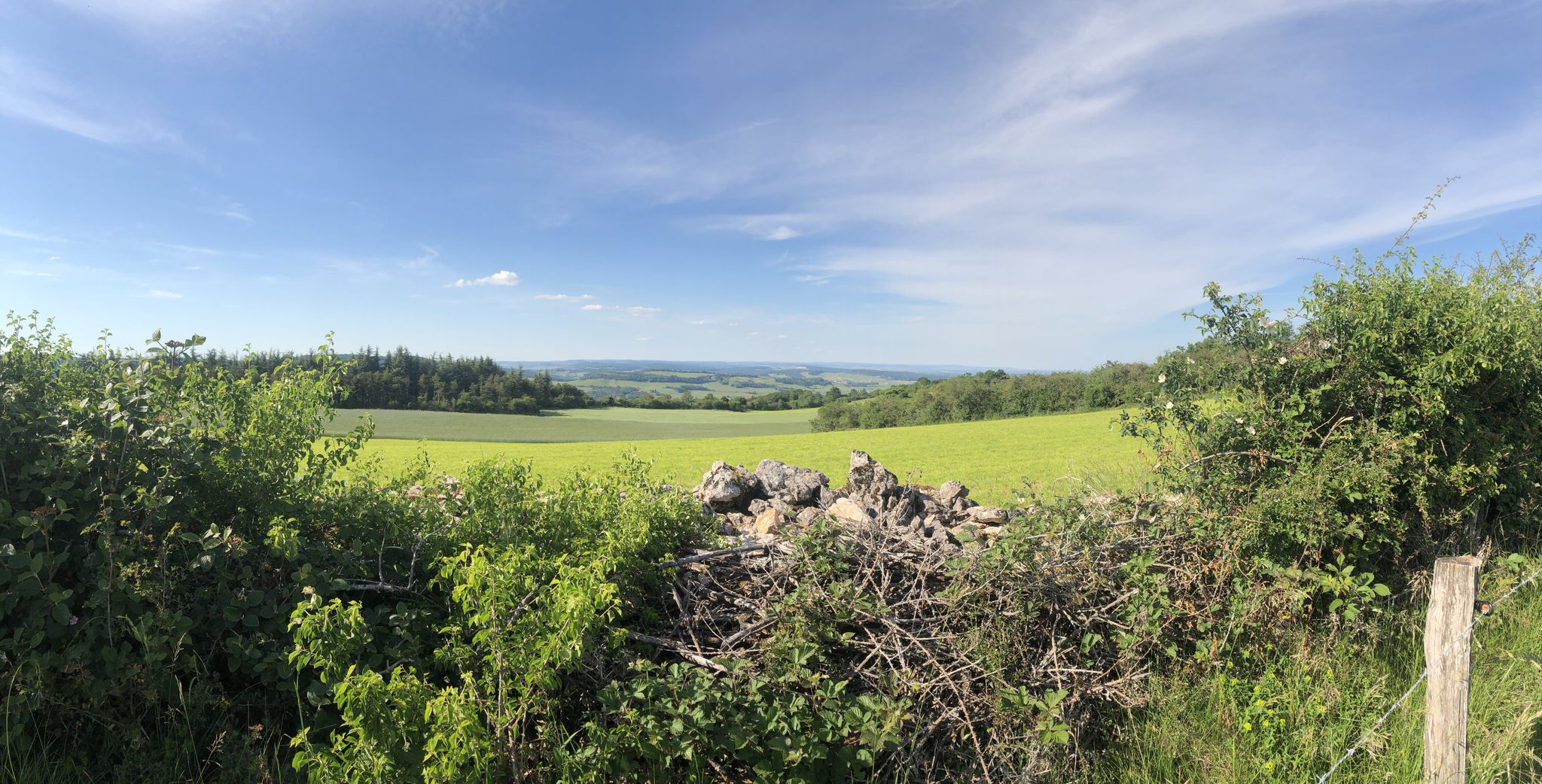
Circuit discovery of the côte chalonnaise in 3 days
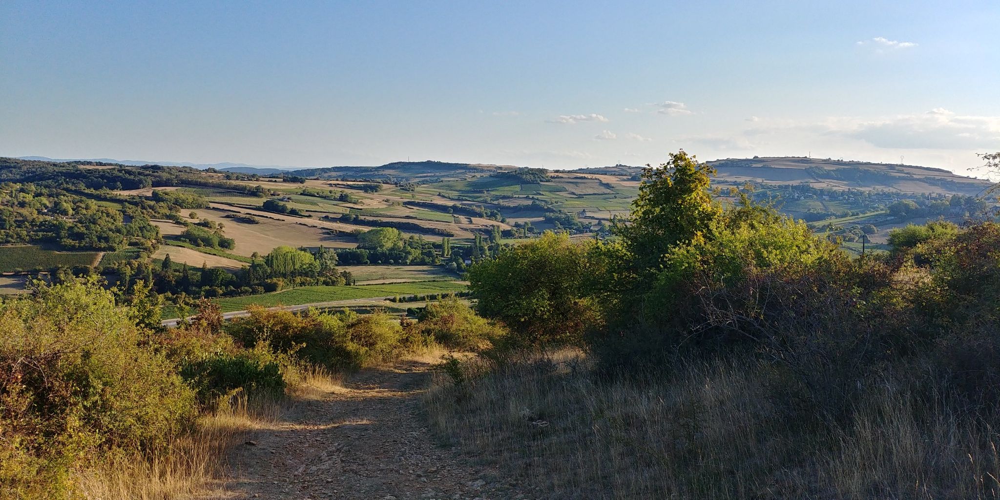
The gentle hills of France’s Beaujolais region — GR 76
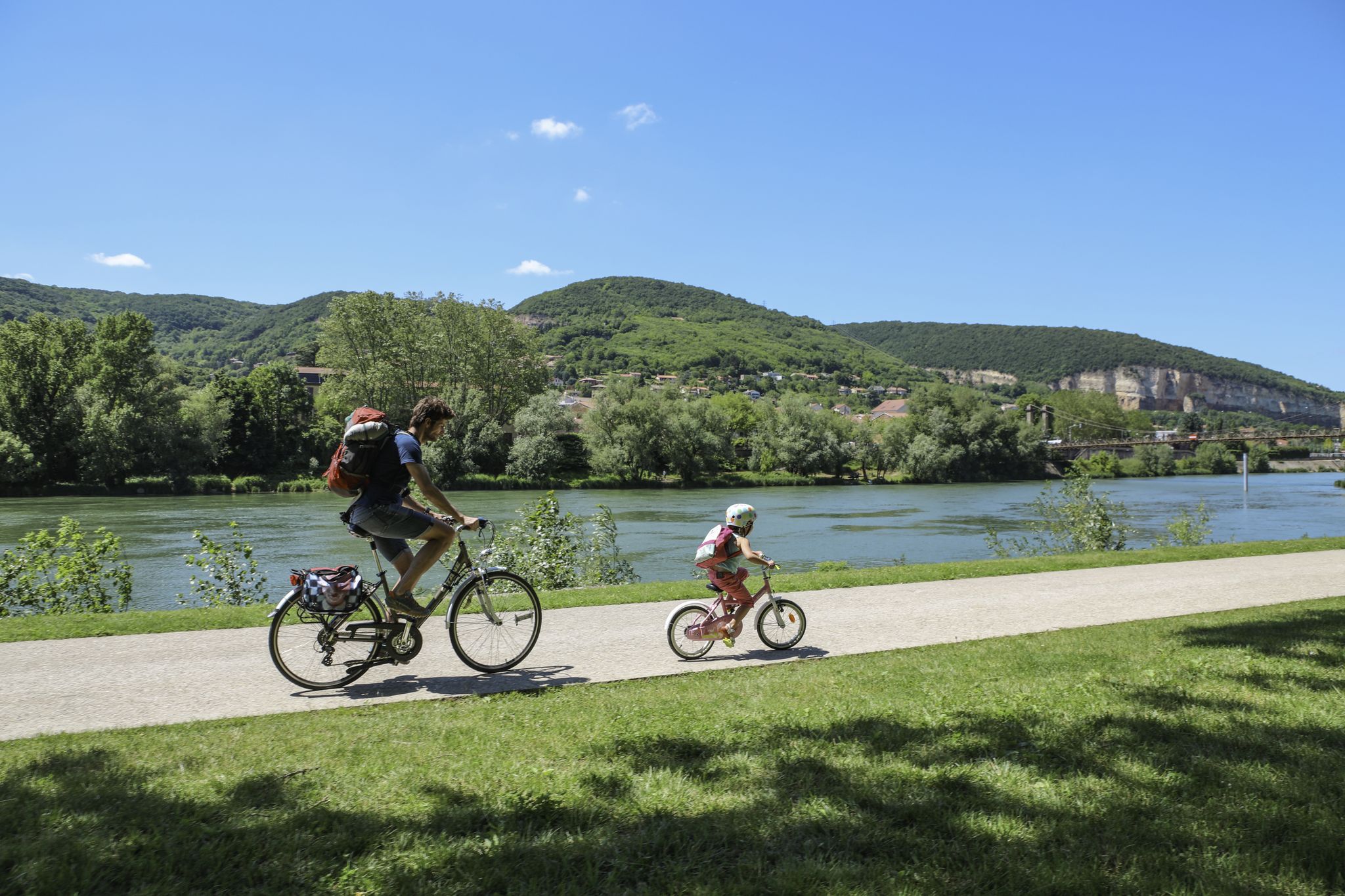
The Voie Bleue – Moselle-Saône by bike
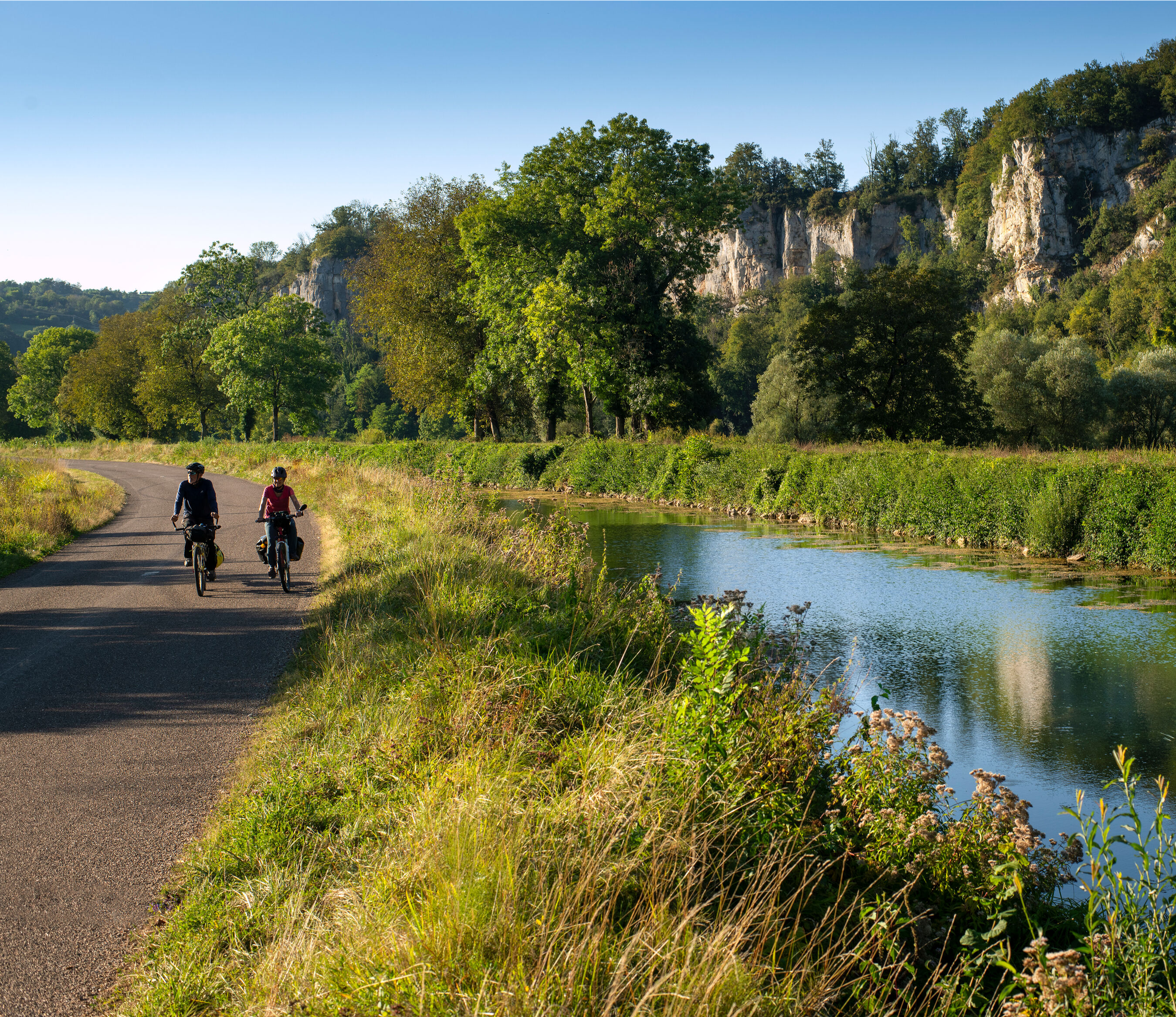
Burgundy-Franche-Comté by bike – between vineyards and peaks
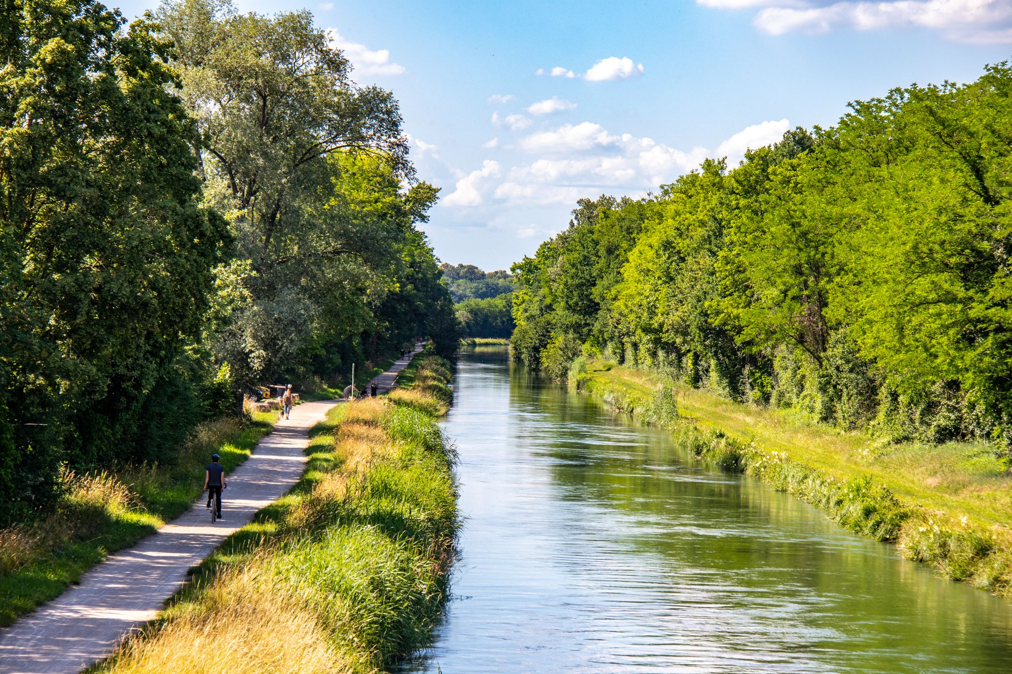
EuroVelo 6 – between the Rhine and the Loire by bike
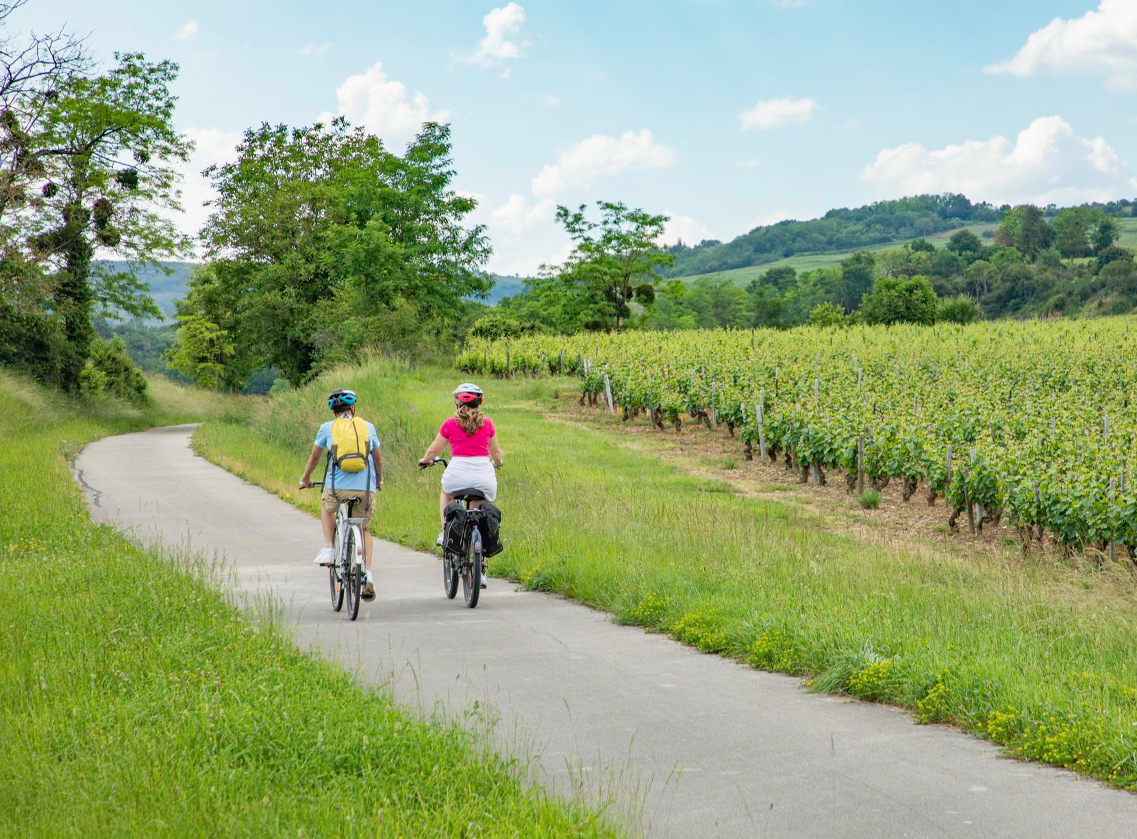
Les Vélœno71 – discover the grape varieties of Saône-et-Loire
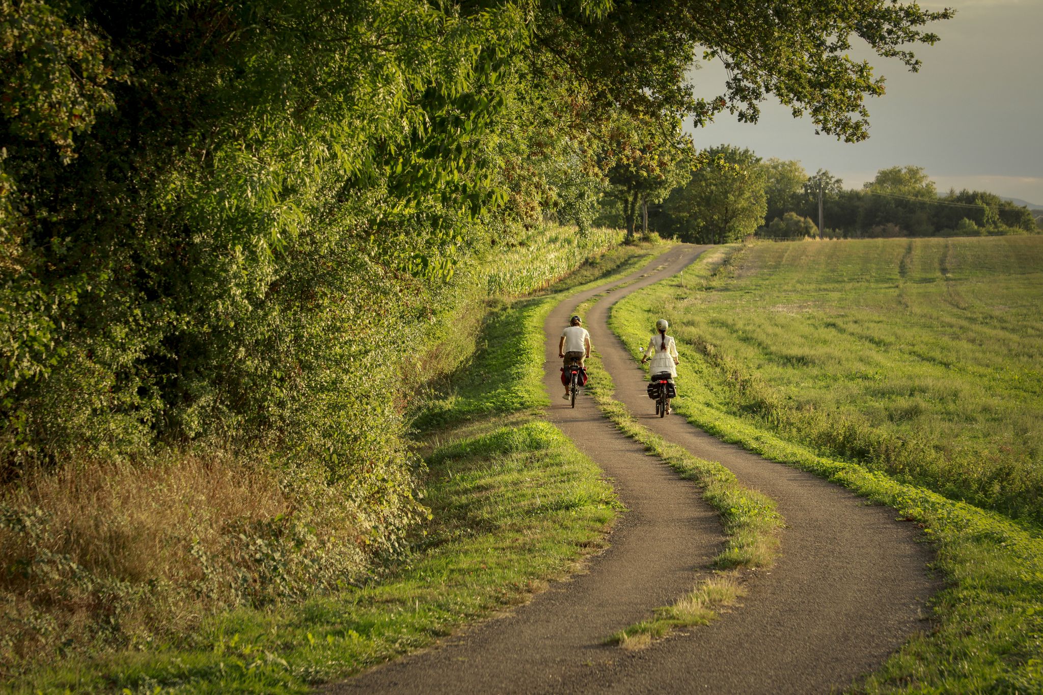
The CycloRoute71 — cycling around the Saône-et-Loire
Other adventures around Chalon-Sur-Saône


Tips from the Community

Once again, the builders of this small sacred monument chose a highly exposed location for the stone cross, which overlooks the expansive landscape. A multi-tiered base rises from the rocky subsoil. This culminates in a round shaft, estimated at two meters high, topped by a capital. Above it stands the actual cross, a Christian symbol of the redemptive act of Jesus, the incarnate Son of God.
2
0


Jambles has belonged to the Abbey of Cluny since the 9th century. A writing by Saint Vincent de Chalon from 1263 mentions the presence of a hospital that received the sick, the homeless, and travelers at the place called Maison-Dieu in Jambles. At its center is a pretty fountain near a cross.
0
0

incredible viewpoint for the brave of sunrise or sunset. On a clear day, admire Mont Blanc and the Alps silhouetted against the horizon. Enjoy a breathtaking view of Saint Désert, Moroge and Jamble! Good walk !
1
0

This isolated summit offers a 360° panorama of forests, farmland and the Côte Chalonnaise. A breathtaking view.
3
0
This quarry was exploited for about fifty years. In 1900, a cable car system was installed to transport the stone. Some of the pylons are still visible in the area. The stone from this quarry was used in particular for paving and curbs in Paris.
3
0
The old railway tunnel is now closed but an information panel allows you to appreciate the site.
3
0
From there, you will be able to appreciate the valley of Vaux and the summit of Montabon.
4
0
Frequently Asked Questions
How many bus-accessible hiking trails are there around Chalon-Sur-Saône?
The region around Chalon-Sur-Saône offers a wide variety of bus-accessible hiking trails. You can find over 340 routes that start conveniently near bus stations, catering to different skill levels and preferences.
Are there easy hiking options accessible by bus for beginners or families?
Yes, there are many easy options perfect for beginners or families. Over 130 of the bus-accessible routes are rated as easy. For example, the Jambles: From One Slope to Another Trail is an easy 5.7 km route with minimal elevation gain, offering a pleasant walk through the local landscape.
What kind of terrain can I expect on bus-accessible hikes near Chalon-Sur-Saône?
Hikes accessible by bus near Chalon-Sur-Saône offer diverse terrain. You can expect trails winding through picturesque vineyards of the Côte Chalonnaise, extensive forests, and along the Saône River or Canal du Centre. Many routes also feature gentle hills, offering panoramic views of the surrounding valleys and even glimpses of Mont Blanc on clear days from higher points.
Are there any circular routes starting from bus stations?
Yes, many of the bus-accessible trails are designed as loops, allowing for convenient exploration without needing to arrange return transport from a different point. An example is the moderate Culles-les-roches and the Géorama Route — loop, which covers about 7.6 km.
What is the best time of year to go hiking from bus stations in this region?
The region is beautiful for hiking throughout much of the year. Spring and autumn offer pleasant temperatures and vibrant scenery, with vineyards changing colors. Summer is also popular, though it can be warm, making forest trails or early morning hikes ideal. Winter can be charming, especially on clearer days, but some trails might be muddy or slippery.
Can I bring my dog on these bus-accessible trails?
Generally, dogs are welcome on most hiking trails in the Chalon-Sur-Saône region, provided they are kept on a leash and you clean up after them. However, specific bus lines might have restrictions on pets, so it's always best to check with the local public transport operator before planning your trip with your canine companion.
What natural features can I discover on bus-accessible hikes?
Bus-accessible hikes can lead you to various natural features. You might encounter sparkling rivers like the Saône, peaceful lakes, and extensive woodlands. Some trails, such as those in the Vaux Valley, are known for their botanical interest. The region also boasts belvederes offering stunning panoramic views, and even waterfalls like the Cul de Menevault Waterfall on the Tour du Bout du Monde loop.
Are there historical sites or cultural landmarks along these bus-accessible routes?
Absolutely. Many trails weave through centuries of history. You can discover ancient Roman roads, old mills, traditional wash-houses, and Romanesque churches. Several routes pass by impressive châteaux, such as the Château de Rully, which you can explore on the Château de Rully – Mercurey loop from Mercurey. The Canal du Centre is another significant historical waterway often paralleled by walking paths.
What do other hikers enjoy the most about hiking from bus stations in Chalon-Sur-Saône?
The area is highly rated by the komoot community, with an average score of 4.5 stars. Reviewers often praise the convenience of accessing diverse trails directly from public transport, the stunning vineyard landscapes, the well-maintained paths, and the blend of natural beauty with rich historical and cultural sites like castles and old villages.
Are there any routes that offer great viewpoints?
Yes, the Côte Chalonnaise is known for its numerous viewpoints. The Mount Avril – View from Mont Avril loop from Jambles is a moderate hike that offers excellent perspectives. From elevated points like the belvedere near Russilly, you can enjoy expansive views over the Saône Valley and the city of Chalon-sur-Saône.
Can I find trails suitable for a quick walk, under 2 hours?
Yes, there are many shorter trails perfect for a quick walk. For instance, the Montchanin pond loop from Montchanin is an easy 3.9 km route that can typically be completed in just over an hour, offering a pleasant stroll around a pond.
Most popular routes around Chalon-Sur-Saône
Most popular attractions around Chalon-Sur-Saône

Get inspired with the komoot mobile app


Didn’t find what you were looking for?
Check out more Hikes throughout Chalon-Sur-Saône below and find the perfect route in your destination.
Explore more
Browse the best Hikes in other regions.
