The best hikes from bus stations around Sartène
4.4
(14941)
95,987
hikers
47
hikes
Bus station hiking trails around Sartène offer access to a diverse landscape characterized by rugged mountain ranges, pristine coastlines, and lush river valleys. The region features extensive pine forests and Mediterranean maquis shrubland, with prominent natural attractions like the Aiguilles de Bavella and the Rizzanese Valley. Hikers can explore a variety of terrains, from coastal paths with unique rock formations to trails leading through ancient forests and towards panoramic viewpoints. The area's geography provides a range of elevations and scenic backdrops for outdoor activities.
Best bus station hiking trails around Sartène
- The most popular bus station hiking route is View from Capo Pertusato – Chemin de Pertusato loop from Bonifacio, a 7.9 miles (12.7 km) trail that takes 3 hours 41 minutes to complete. This moderate route offers scenic views along limestone cliffs.
- Another top favourite among local hikers is Oriu di Cubia – Old mill loop from Monacia-d'Aullène, a moderate 2.6 miles (4.1 km) path. This trail leads through varied terrain, including an old mill.
- Local hikers also love the Bastion de France – Porte de Porto-Vecchio loop from Porto-Vecchio, a 1.8 miles (2.9 km) trail leading through urban and coastal areas, often completed in about 49 minutes.
- Hiking around Sartène is defined by coastal paths, river valleys, and pine forests. The network offers options for different ability levels, from easy strolls to more challenging ascents.
- The routes in Sartène are highly rated by the komoot community with an average score of 4.4 stars from over 11,700 reviews. More than 81,000 hikers have used komoot to explore Sartène's varied terrain.
Last updated: August 12, 2026
4.6
(58)
400
hikers
4.12km
01:20
100m
100m
Moderate hike. Great for any fitness level. Mostly accessible paths. Sure-footedness required.
4.6
(20)
92
hikers
18.4km
06:44
1,010m
1,010m
Hard hike. Very good fitness required. Mostly accessible paths. Sure-footedness required.

Sign up for free
4.6
(20)
158
hikers
Easy hike. Great for any fitness level. Easily-accessible paths. Suitable for all skill levels.
4.4
(10)
115
hikers
Easy hike. Great for any fitness level. Easily-accessible paths. Suitable for all skill levels.
3.9
(14)
113
hikers
6.53km
01:48
110m
110m
Easy hike. Great for any fitness level. Easily-accessible paths. Suitable for all skill levels.
Get access to more routes and recommendations from other explorers.
Sign up for free
Already have an account?
Our route recommendations are based on thousands of hikes, rides, and runs completed by other people on komoot.
Start today with a free account
Your next adventure awaits.
Login or Signup
Popular around Sartène

Hikes from bus stations in Réserve Naturelle Des Bouches De Bonifacio

Hikes from bus stations around Lac De Figari

Hikes from bus stations around Étang de Balistra

Hikes from bus stations around Étang de Ventilegne

Hikes from bus stations around Étang de Santa Giulia
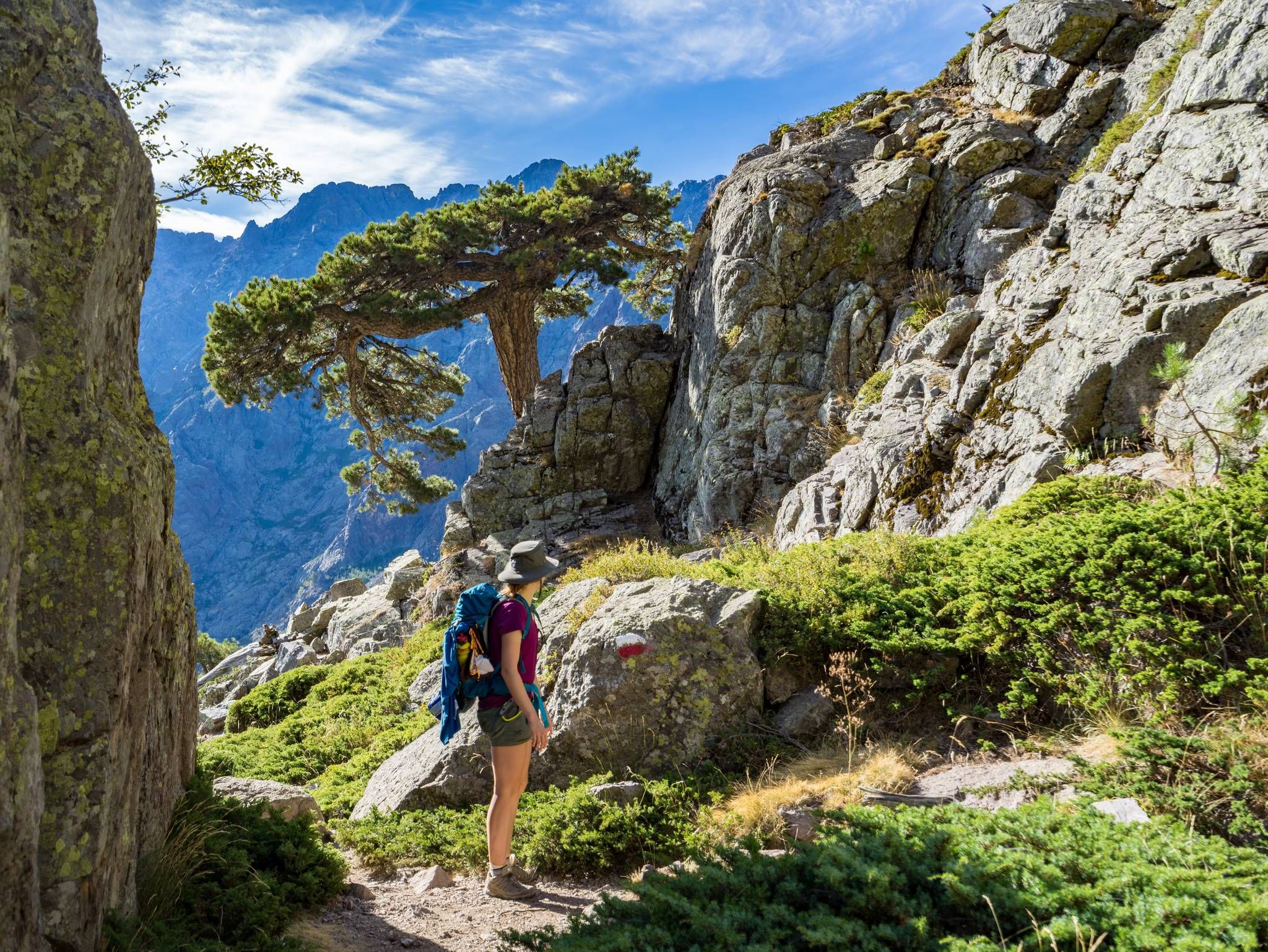
GR20 – Europe's toughest long-distance hiking trail through Corsica
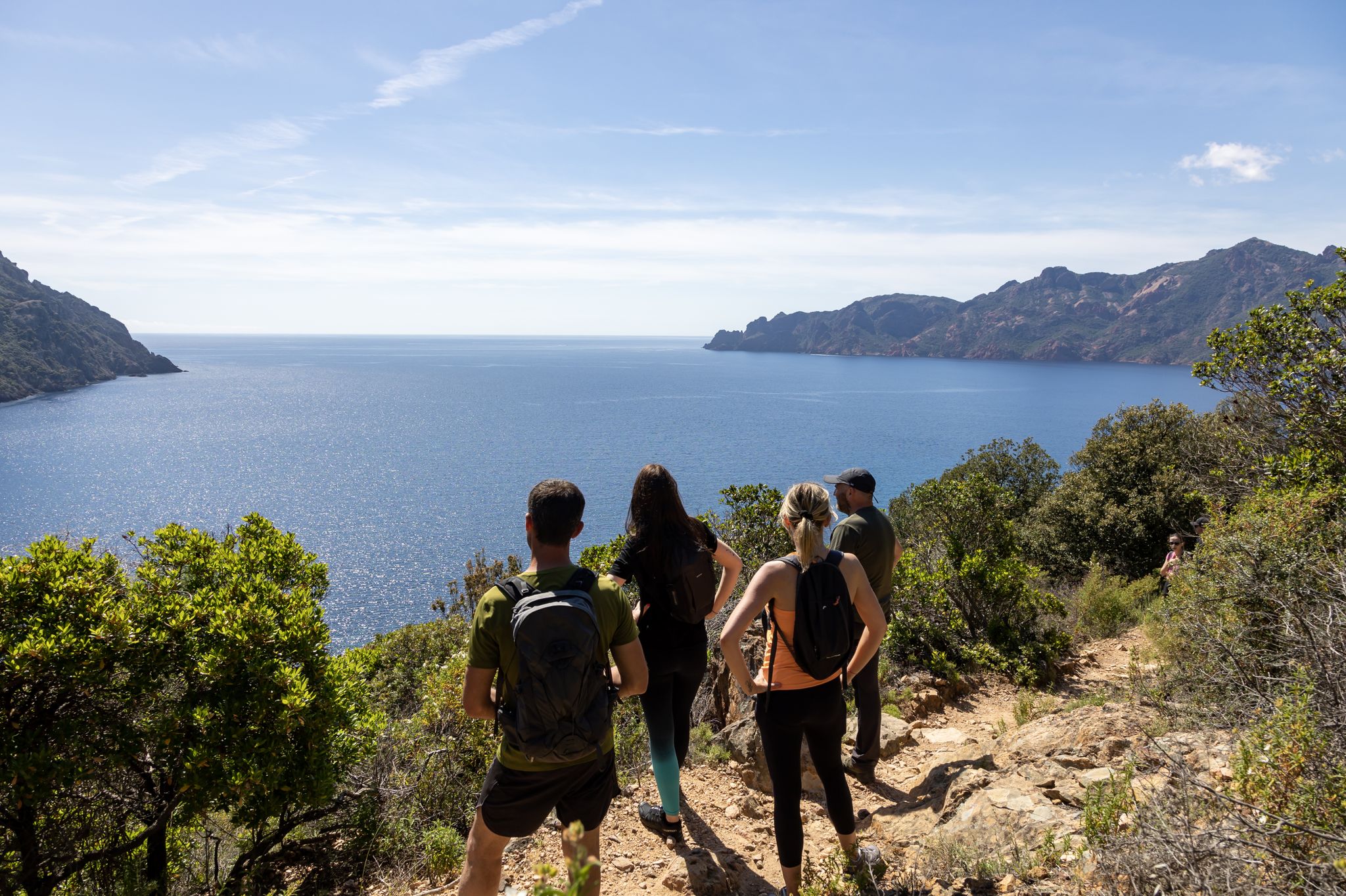
Corsica's discovery hikes — between sea and mountains
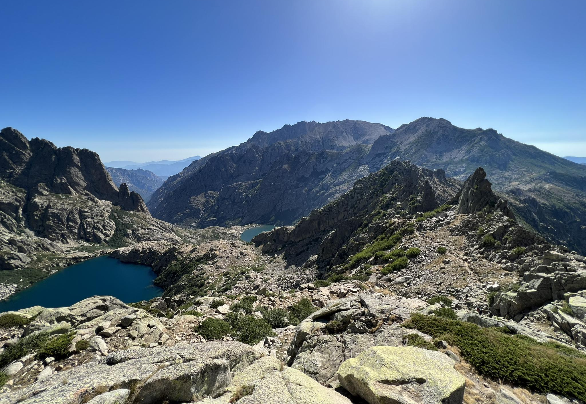
Great hikes of Corsica – Terre de nature
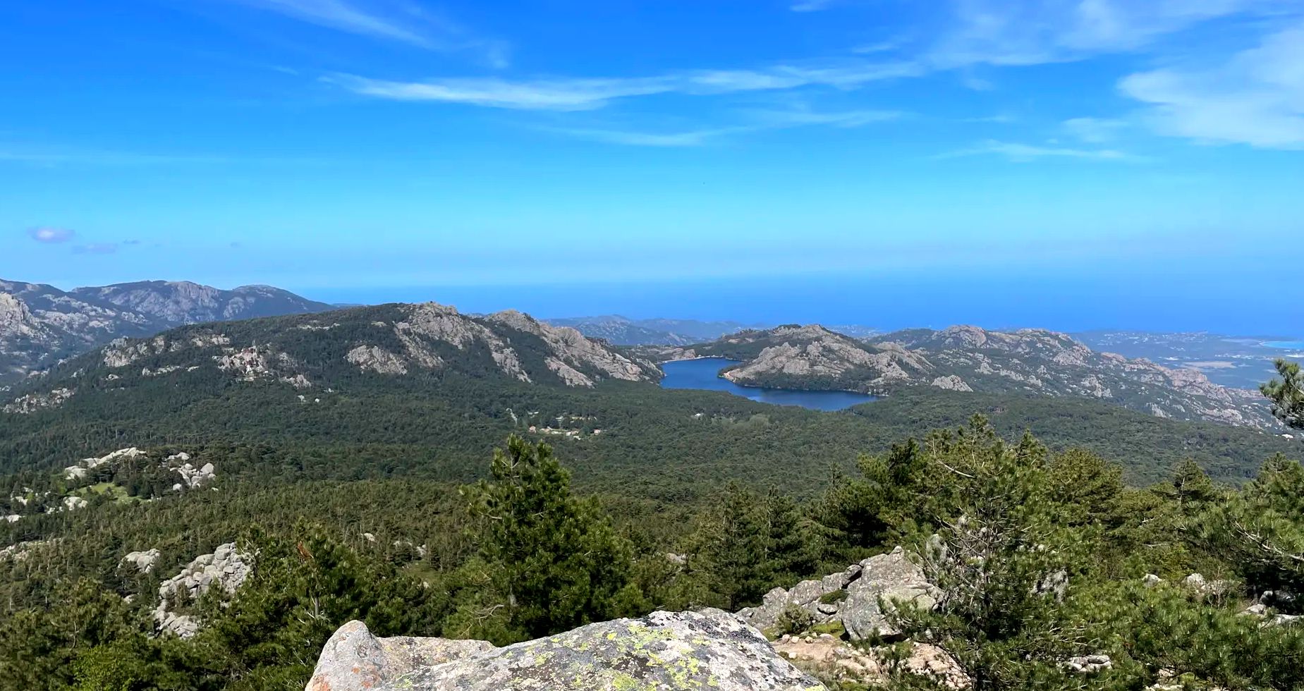
In the heart of the Alta Rocca – Mare a Mare Sud (Corsica)
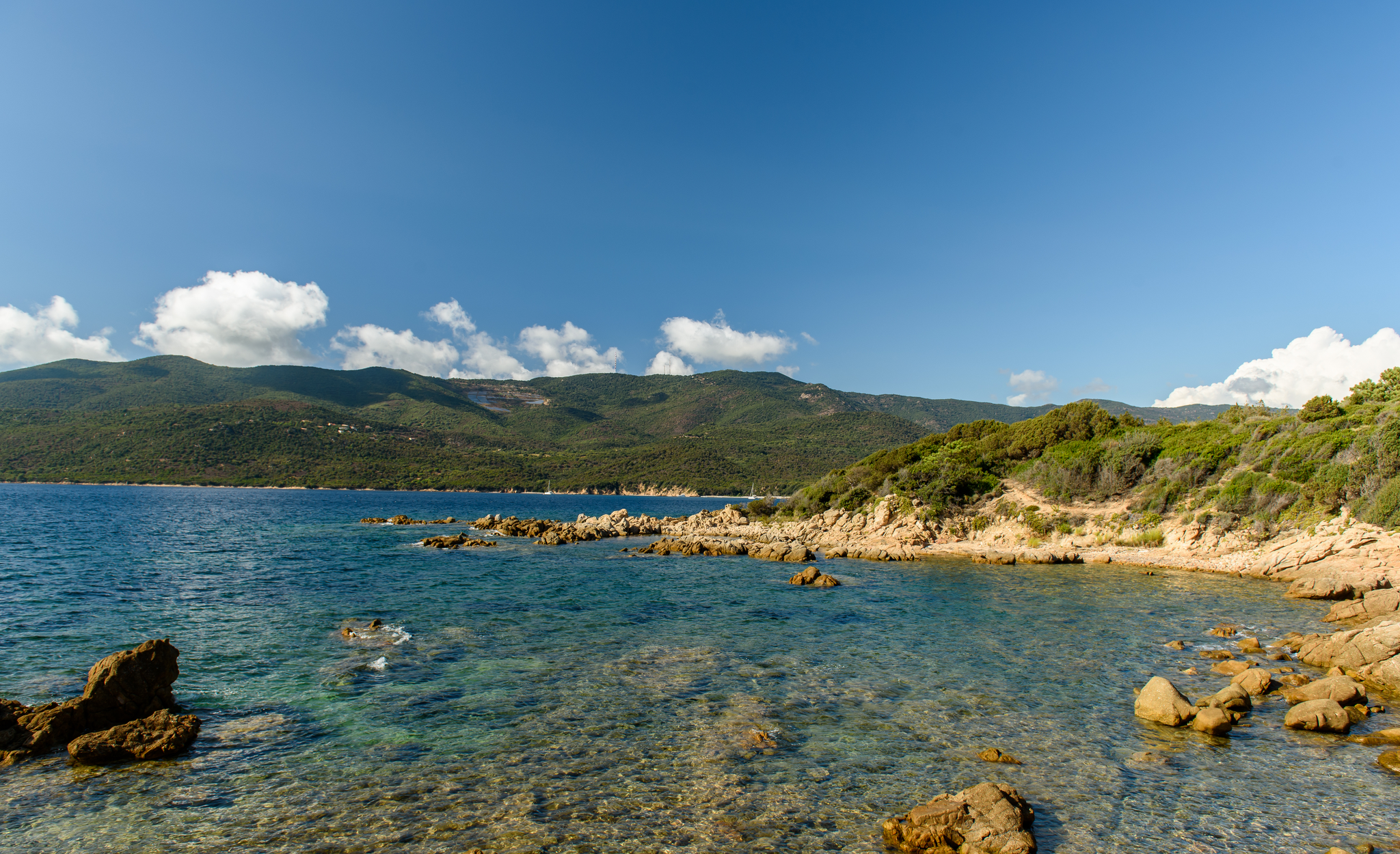
Beaches and ridges on Corsica – Mare è Monti sud
Other adventures around Sartène


Tips from the Community


The Bastion de France is one of the most impressive relics of the Genoese fortifications in Porto-Vecchio's old town. Located right on the edge of the historic citadel, the massive stone structure testifies to the city's strategic importance as a trading and military base in the Mediterranean. Once used to defend and monitor the harbor, the bastion now offers sweeping views across the bay and surrounding landscape. However, the bastion may be closed to visitors outside of peak season.
0
0
The sculpture, located between the harbor and the old town, was created by the French artist Mauro Corda and commemorates the start of the Tour de France in Porto Vecchio in 2013. At that time, the tour visited Corsica for the first time: the first three stages led from Porto Vecchio to Bastia, Ajaccio and Calvi.
0
0

A very beautiful church in the heart of the old town of Ponte Vecchio. If you leave a candle and say a prayer, don't miss the chance to admire the images of the Virgin Mary on the side walls. They were created by famous artists like Leonardo da Vinci. Unfortunately, they aren't originals. They're projected on monitors that cover the air conditioning units. 😄 We found it original and very funny.
0
0
Frequently Asked Questions
How many hiking routes are accessible from bus stations around Sartène?
There are nearly 40 hiking routes accessible from bus stations around Sartène. These trails offer a diverse range of experiences, from easy coastal walks to more challenging mountain treks, all reachable using public transport.
What is the best time of year to go hiking from Sartène's bus stations?
The ideal time for hiking around Sartène is during spring (April to June) and autumn (September to October). During these seasons, the weather is pleasantly mild, the maquis is fragrant, and the trails are less crowded than in the peak summer months. Summer can be very hot, especially for longer or more exposed routes.
Are there any easy, family-friendly hikes accessible by bus from Sartène?
Yes, there are several easy, family-friendly options. For instance, the Bastion de France – Porte de Porto-Vecchio loop from Porto-Vecchio is an easy 3 km walk, perfect for families. Another gentle option is the Rocky coves near Propriano loop from Propriano / Prupià, which is just over 5 km and offers lovely coastal views.
Can I bring my dog on these bus-accessible hiking trails?
Many trails around Sartène are dog-friendly, but it's crucial to keep your dog on a leash, especially in protected areas or where livestock may be present. Always carry water for your pet and be mindful of local regulations, particularly concerning nature reserves. For specific trails, check individual route details on komoot for any restrictions.
Are there any circular routes I can do from a bus stop?
Yes, several routes are designed as loops, making them convenient for public transport users. The View from Capo Pertusato – Chemin de Pertusato loop from Bonifacio is a moderate 12.7 km circular hike offering stunning cliffside views. Another option is the Oriu di Cubia – Old mill loop from Monacia-d'Aullène, a moderate 4.1 km loop that explores historical sites.
What natural landmarks or viewpoints can I expect to see on these hikes?
The region is rich in natural beauty. You can discover spectacular features like the Bavella Pass with its iconic Aiguilles de Bavella, or the dramatic Piscia di Gallo Waterfall. Coastal routes often feature unique rock formations, pristine beaches like Roccapina, and panoramic sea views. The Capo Pertusato loop, for example, provides breathtaking vistas along limestone cliffs.
Are there any hikes that lead to waterfalls or natural pools?
Absolutely! The region is known for its refreshing water features. The Piscia di Gallo Waterfall is a magnificent 60-meter cascade and a popular hiking destination. You can also find trails leading to the Purcaraccia Pools and Polischellu Waterfalls, offering opportunities for a refreshing dip in natural pools.
What kind of terrain should I expect on bus-accessible hikes around Sartène?
The terrain varies significantly. You'll encounter everything from well-maintained coastal paths and sandy tracks to rugged mountain trails with rocky ascents and descents. Some routes traverse fragrant Mediterranean maquis, while others lead through dense pine forests, especially in higher elevations like near the Bavella massif. Always wear appropriate hiking footwear.
Are there any challenging bus-accessible hikes for experienced hikers?
Yes, for experienced hikers seeking a challenge, the region offers demanding routes. The Monte San Petru Summit – Mont San Petru loop from Bicchisano is a difficult 18.6 km trail with over 1000 meters of elevation gain, providing a strenuous but rewarding experience with expansive views.
What do other hikers say about the trails around Sartène?
The hiking trails around Sartène are highly rated by the komoot community, with an average score of 4.4 stars. Reviewers often praise the stunning diversity of landscapes, from dramatic coastlines to rugged mountains, and the sense of immersion in Corsica's wild nature. Many appreciate the well-marked paths and the breathtaking panoramic views from various viewpoints.
Are there any places to eat or stay near the bus-accessible trailheads?
While some larger towns like Sartène, Propriano, or Porto-Vecchio offer a range of cafes, restaurants, and accommodations, options might be limited directly at smaller bus stops or remote trailheads. It's advisable to check for amenities in advance, especially if you plan a longer hike or an overnight stay. Packing snacks and sufficient water is always recommended.
Most popular routes around Sartène
Most popular attractions around Sartène

Get inspired with the komoot mobile app


Didn’t find what you were looking for?
Check out more Hikes throughout Sartène below and find the perfect route in your destination.
Explore more
Browse the best Hikes in other regions.
