The best hikes from bus stations around Yssingeaux
4.5
(3145)
20,734
hikers
127
hikes
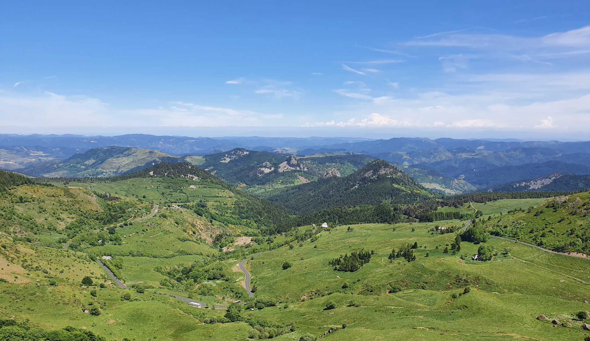
Bus station hiking trails around Yssingeaux offer access to the diverse landscapes of the Auvergne's Haute-Loire department. The region is characterized by ancient, dome-shaped volcanic peaks known as "sucs," such as the Pic du Lizieux, which provide elevated viewpoints. River gorges, including those of the Loire and Lignon, cut through the terrain, alongside extensive forests and plateaus. This varied topography supports a network of trails suitable for different hiking abilities.
Best bus station hiking trails around Yssingeaux
- The most popular…
Last updated: July 2, 2026
4.9
(27)
329
hikers
12.8km
03:40
300m
300m
Moderate hike. Good fitness required. Easily-accessible paths. Suitable for all skill levels.
4.8
(37)
376
hikers
13.9km
04:02
360m
360m
Moderate hike. Good fitness required. Easily-accessible paths. Suitable for all skill levels.

Sign up for free
4.9
(7)
55
hikers
9.39km
02:45
250m
250m
Moderate hike. Good fitness required. Easily-accessible paths. Suitable for all skill levels.
4.3
(6)
56
hikers
Easy hike. Great for any fitness level. Easily-accessible paths. Suitable for all skill levels.
4.0
(4)
48
hikers
7.77km
02:14
170m
170m
Moderate hike. Good fitness required. Easily-accessible paths. Suitable for all skill levels.
Get access to more routes and recommendations from other explorers.
Sign up for free
Already have an account?
Our route recommendations are based on thousands of hikes, rides, and runs completed by other people on komoot.
Start today with a free account
Your next adventure awaits.
Login or Signup
Popular around Yssingeaux

Hikes from bus stations around Gravieres De Bas-En-Basset
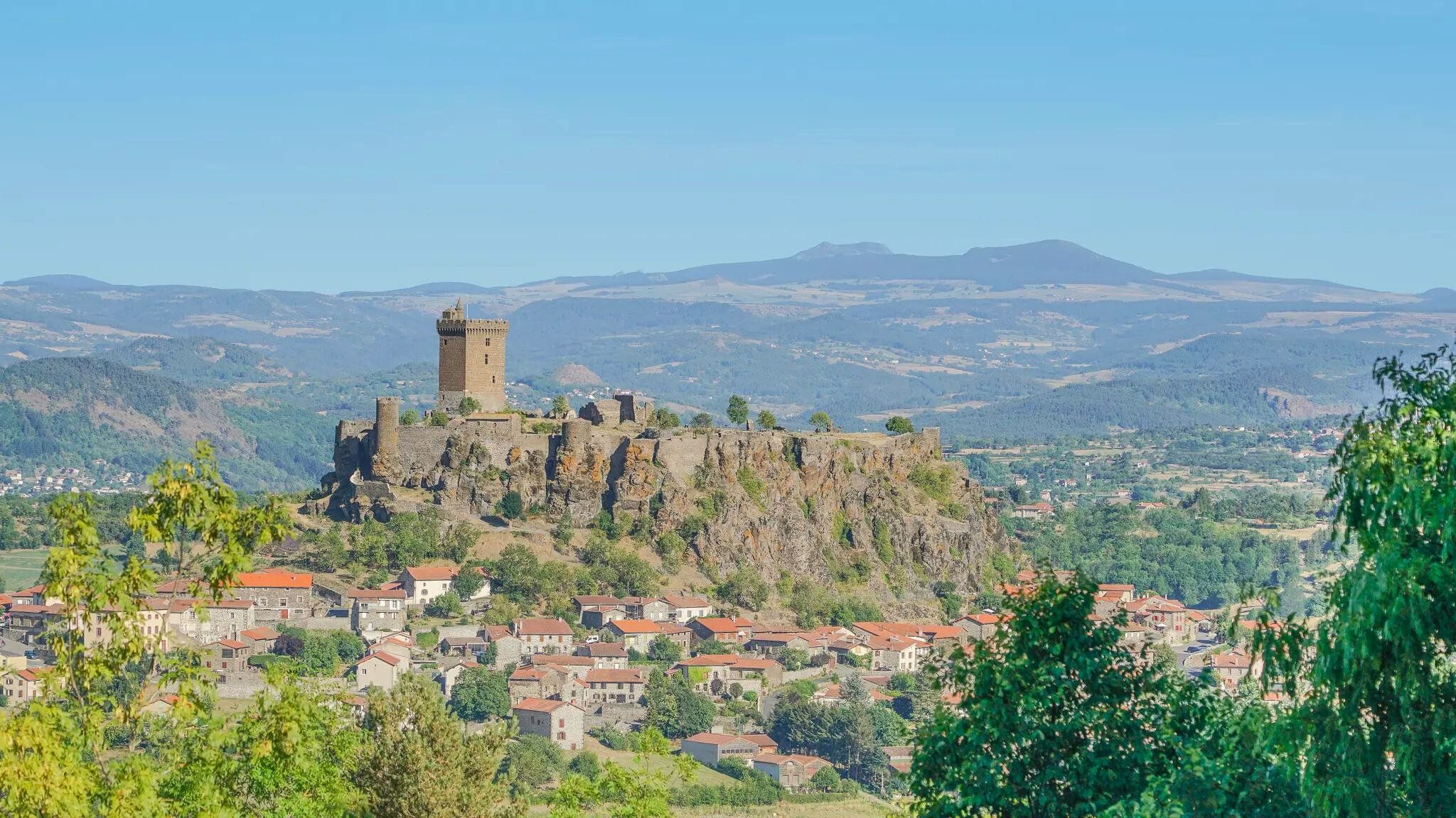
The Loire from ocean to source – GR 3 between Chabreloche and Puy-en-Velay
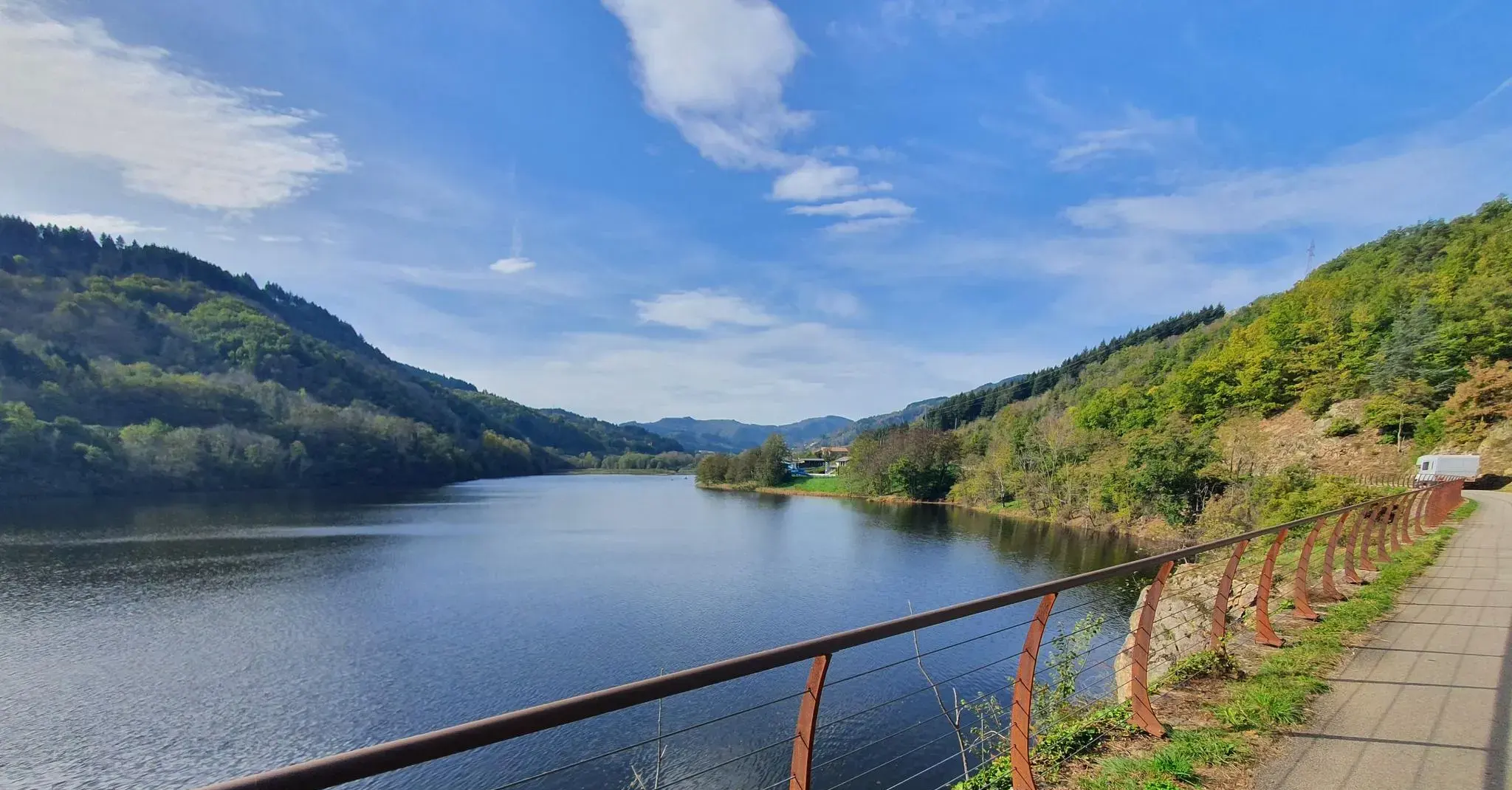
The trails of Ardèche — on the train tracks by bike
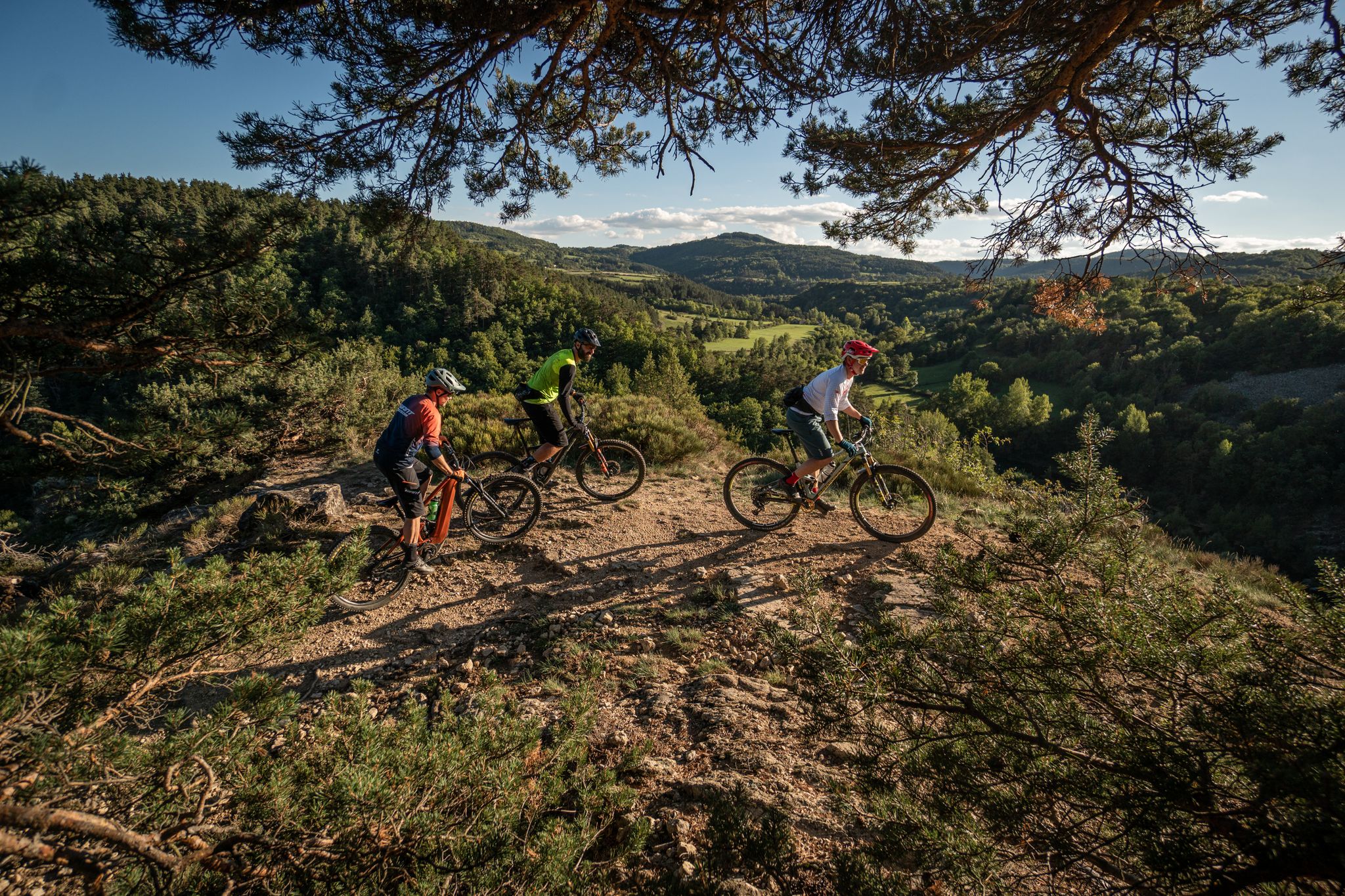
Hills, gorges, and forests – Grande Traversée de la Haute-Loire by MTB
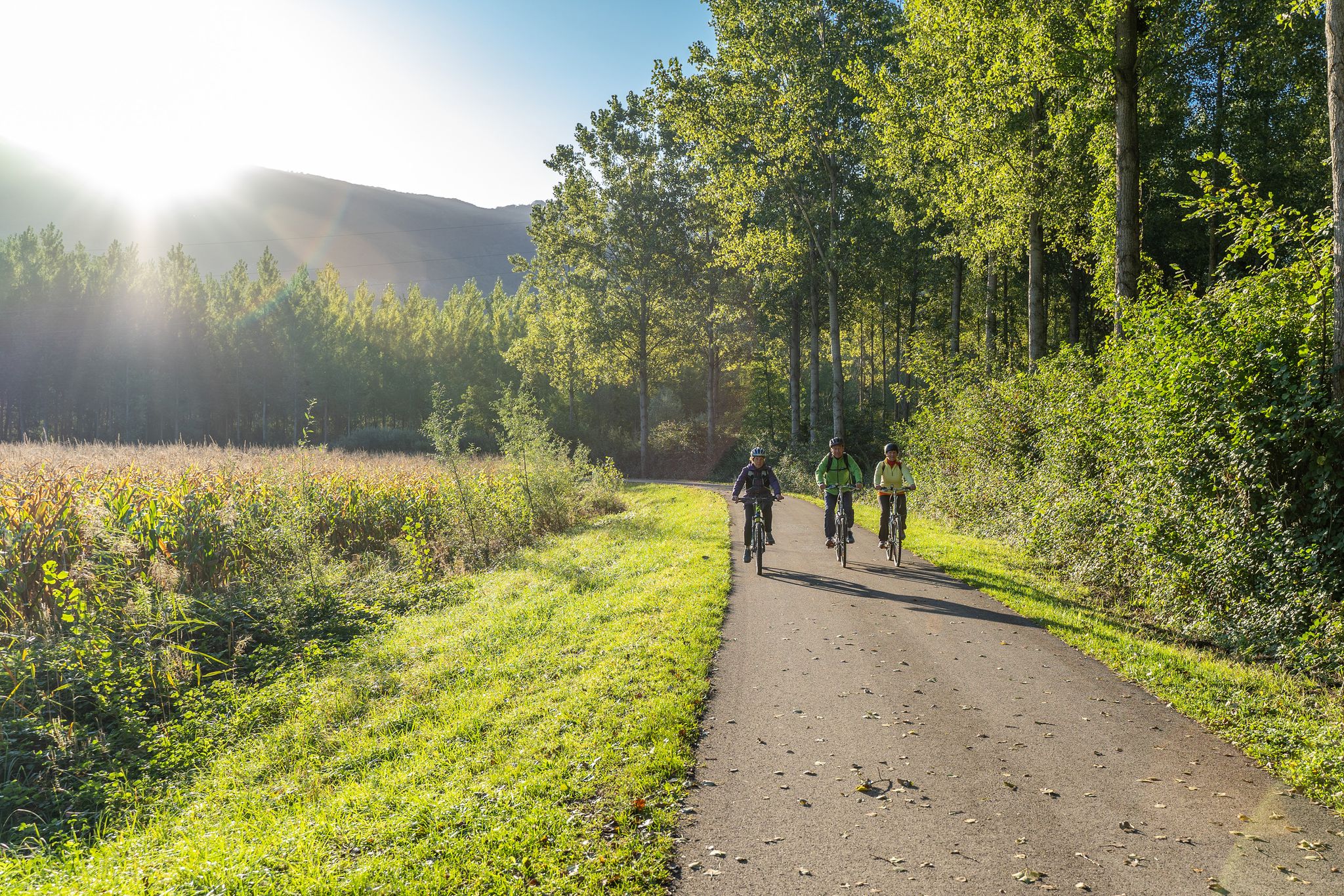
Via Fluvia – Cycle Route between Loire and Rhône
Beyond the mountains – the Rhône to the Ardèche
The Drôme to the Ardèche – explore the borders of the Rhône
From Loire to Rhône via Fluvia - from river to river by bicycle

‘La Joyeuse Vadrouille’ – two months cycling with the family
Other adventures around Yssingeaux


Tips from the Community

to see grandiose landscapes
0
0


With the patronage of "John the Baptist", this parish has chosen a saint who is considered a forerunner of Jesus Christ. In Christian theology, he is the voice of the voice in the desert prophesied in the Old Testament book of Isaiah: "A voice calls out: In the desert prepare the way for the Lord, make straight in the desert a highway for our God!" (Luther Bible). John is the son of Zechariah and Elizabeth, who was visited by the Mother of God Mary when she learned from the Archangel Gabriel that she herself was to give birth to Jesus Christ, and her - until then childless - relative was still pregnant in old age. The feast day of Saint Jean Baptist in the calendar of saints is June 24th.
1
0

Metal platform overlooking the gorges and the Himalayan footbridge. Located on the St Maurice de Lignon side, not to be forgotten after the crossing coming from Grazac.
2
0

This 110 meter long Himalayan-style footbridge is suspended above the Loire. The footbridge rests on the piers of the old bridge dating from 1892. It is reserved for pedestrians and bicycles and connects the town center to Aurec-plage labeled “Aire Respirando”.
1
1

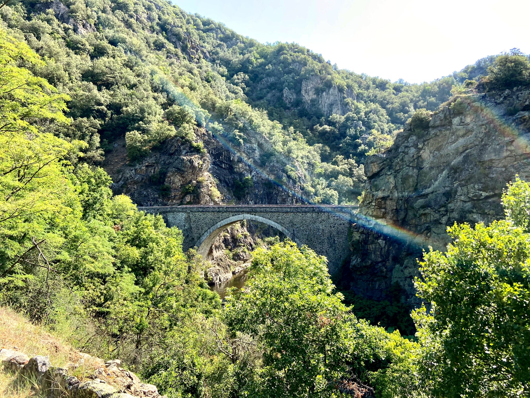
In Retournac, the stone bridge that spans the Loire is called the Human Rights Bridge. Built in stone and on a model of lowered arches, the bridge and its sidewalks offer walkers pleasant views of the river and the mountains which dominate it.
0
0
Frequently Asked Questions
How many bus station hiking trails are available around Yssingeaux?
There are over 100 hiking trails around Yssingeaux that are accessible from bus stations, offering a wide variety of options for all skill levels.
What makes hiking around Yssingeaux unique for bus-accessible routes?
The region, known as the 'Pays des Sucs,' is characterized by its distinctive ancient, dome-shaped volcanoes, called 'sucs,' which provide dramatic scenery and excellent hiking opportunities. You'll also find impressive river gorges, extensive forests, and plateaus offering elevated viewpoints.
What is the overall difficulty level of bus-accessible hikes in the Yssingeaux region?
The bus-accessible trails around Yssingeaux cater to a wide range of fitness levels. You'll find approximately 25 easy routes, over 70 moderate routes, and nearly 20 challenging options, ensuring there's something for everyone.
Are there any easy bus-accessible hikes suitable for beginners near Yssingeaux?
Yes, there are several easy routes perfect for beginners. For example, the Collegiate Church of Saint John the Baptist – Human Rights Bridge loop from Retournac is an easy 7.2 km hike with minimal elevation gain, offering a pleasant stroll along the river.
Can I find challenging hikes accessible by bus in the Yssingeaux area?
Absolutely. While specific challenging routes from bus stations aren't detailed in the provided data, the region offers nearly 20 difficult trails overall. The area's volcanic sucs and gorges, like those of the Lignon, provide opportunities for more strenuous climbs and longer distances, often requiring good fitness. Look for routes that ascend the higher 'sucs' for a greater challenge.
Are there bus-accessible routes that offer panoramic viewpoints?
Yes, many trails in the region lead to stunning viewpoints. The volcanic 'sucs' like the Pic du Lizieux are famous for their panoramic vistas. While not directly from a bus station, the Lizieux Peak loop from Mazet-Saint-Voy is a moderate route that offers breathtaking views from the summit, potentially extending to the Alps on a clear day.
What natural features can I expect to see on bus-accessible trails?
You can expect to encounter diverse natural features, including the unique volcanic 'sucs,' impressive river gorges such as the Loire and Lignon, and extensive forests like the Forêt Domaniale du Meygal. The region's landscape is a mosaic of meadows, broom forests, and fir and beech forests.
What interesting landmarks or attractions can I visit along bus-accessible hiking trails?
Many trails offer access to notable attractions. You might encounter the impressive Himalayan footbridge at Gorges du Lignon, historical sites like Château d'Artias, or serene spots like Lake Lavalette. The Collegiate Church of Saint John the Baptist – Human Rights Bridge loop from Retournac also passes by a significant church.
Are there any circular bus-accessible routes?
Yes, many of the bus-accessible routes are designed as loops, allowing you to start and end at the same point. For instance, the Suspension Bridge loop from Saint-Maurice-de-Lignon and the Suspension Bridge loop from Grazac are both moderate circular hikes.
What is the best time of year to hike the bus-accessible trails around Yssingeaux?
The region is enjoyable for hiking throughout much of the year. Spring and autumn offer pleasant temperatures and vibrant scenery, with autumn showcasing beautiful foliage. Summer is also popular, though some trails might be busier. Winter hiking is possible, especially in the lower elevations, but requires checking local conditions for snow and ice.
Are the bus-accessible trails around Yssingeaux suitable for families?
Yes, many bus-accessible trails are suitable for families, especially the easier and moderate routes. Look for shorter loops with less elevation gain, such as the Footbridge over the Loire – The Loire at Aurec loop from Saint-Paul-en-Cornillon, which is an easy 7.6 km hike. The well-maintained and signposted trails make for a safe and enjoyable family outing.
Are dogs allowed on the bus-accessible hiking trails?
Generally, dogs are welcome on most hiking trails in the Yssingeaux region, provided they are kept on a leash and you clean up after them. It's always a good idea to check specific local regulations or park rules if you plan to visit a protected natural area.
What do other hikers enjoy most about the bus-accessible trails in Yssingeaux?
The bus-accessible trails in Yssingeaux are highly rated by the komoot community, with an average score of 4.5 stars. Reviewers often praise the diverse and unique volcanic landscapes, the well-maintained and clearly signposted paths, and the opportunity to discover impressive gorges and panoramic viewpoints.
Most popular routes around Yssingeaux
Most popular attractions around Yssingeaux

Get inspired with the komoot mobile app


Didn’t find what you were looking for?
Check out more Hikes throughout Yssingeaux below and find the perfect route in your destination.
Explore more
Browse the best Hikes in other regions.
