The best hikes from bus stations around Orléans
4.5
(1857)
11,328
hikers
336
hikes
Bus station hiking trails around Orléans offer access to a diverse landscape shaped by the Forêt Domaniale d'Orléans, the Loire River, and an intricate network of canals. The region is characterized by vast expanses of oak and Scots pine forests, numerous ponds, and marshes. While generally flat, with an average altitude of 120 meters, the area provides varied scenery along its waterways and through its extensive woodlands.
Best bus station hiking trails around Orléans
- The most popular bus station hiking…
Last updated: August 26, 2026
4.4
(17)
139
hikers
8.43km
02:10
40m
40m
Moderate hike. Good fitness required. Easily-accessible paths. Suitable for all skill levels.
4.8
(15)
97
hikers
Moderate hike. Good fitness required. Easily-accessible paths. Suitable for all skill levels.

Sign up for free
4.7
(9)
47
hikers
11.8km
03:01
50m
50m
Moderate hike. Good fitness required. Easily-accessible paths. Suitable for all skill levels.
4.7
(6)
82
hikers
7.48km
01:53
10m
10m
Easy hike. Great for any fitness level. Easily-accessible paths. Suitable for all skill levels.
4.5
(11)
66
hikers
8.93km
02:16
20m
20m
Moderate hike. Good fitness required. Easily-accessible paths. Suitable for all skill levels.
Get access to more routes and recommendations from other explorers.
Sign up for free
Already have an account?
Our route recommendations are based on thousands of hikes, rides, and runs completed by other people on komoot.
Start today with a free account
Your next adventure awaits.
Login or Signup
Popular around Orléans

Hikes from bus stations in Réserve Naturelle De Saint-Mesmin

Hikes from bus stations in Forêt Domaniale D'Orléans

Hikes from bus stations around Etang De La Vallee

Hikes from bus stations in Bois De Bellardin
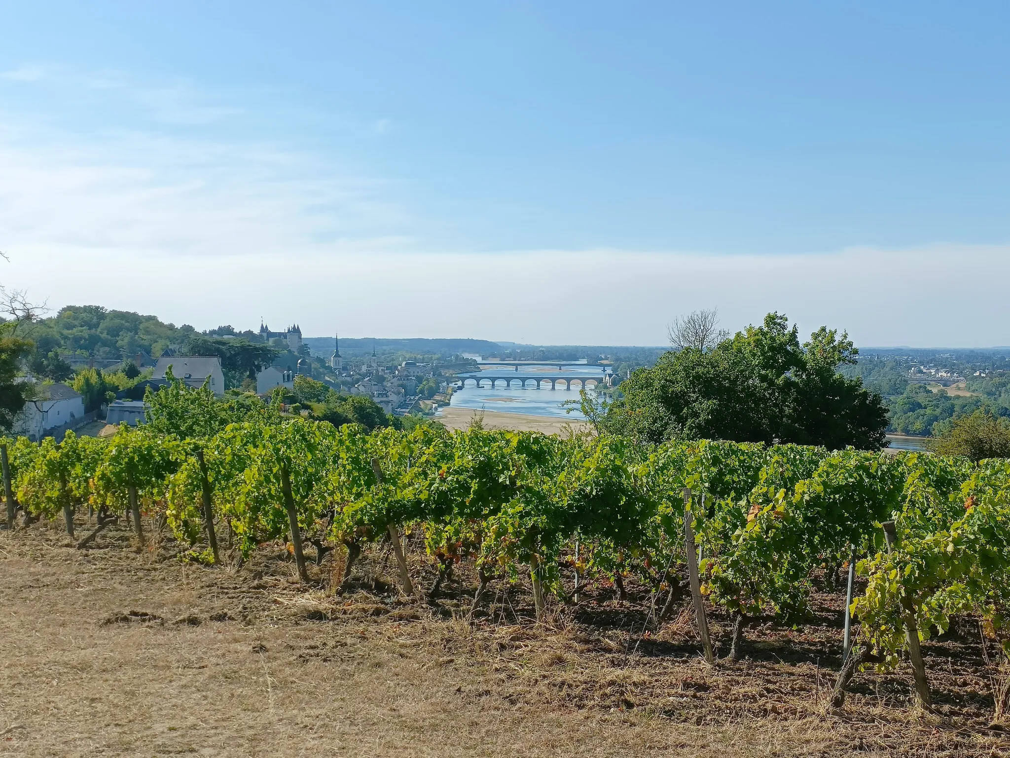
GR3 from the ocean to its source – The Loire, a wild European river
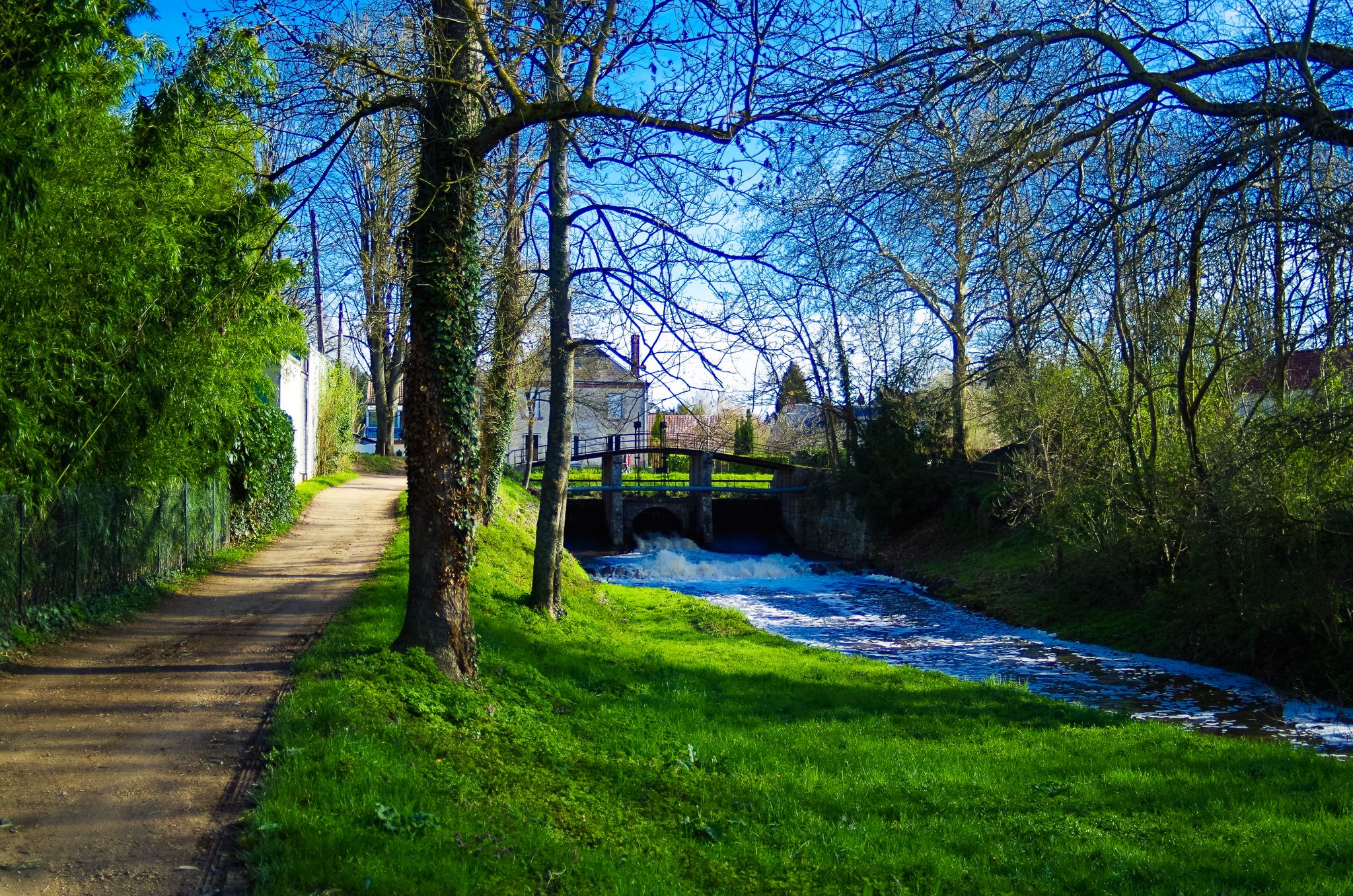
Seine to the Loire (GR 32) – Between Gâtinais and Beauce
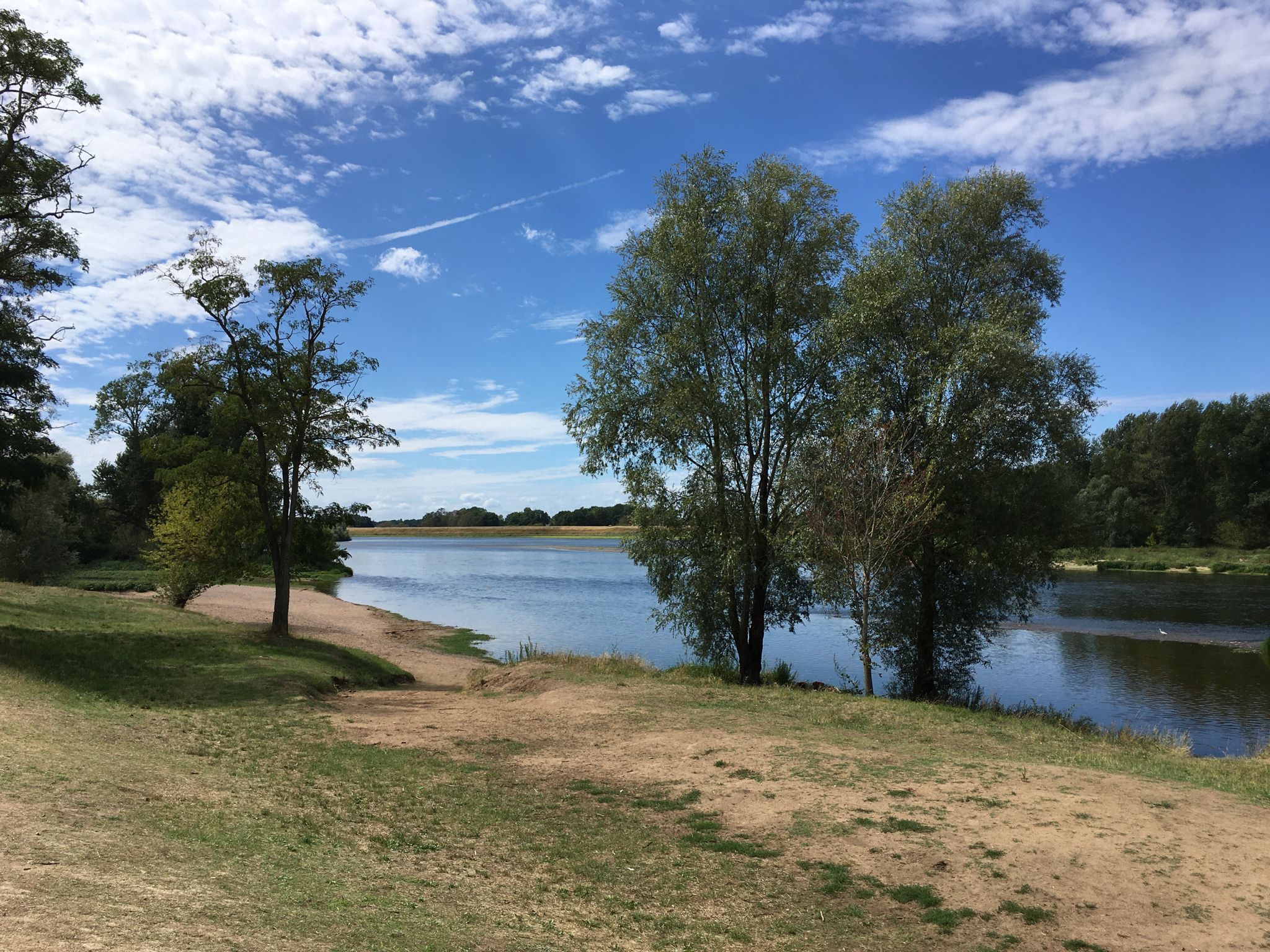
The Loire from ocean to source – GR3 Between Orléans and Cosne-Cours-sur-Loire
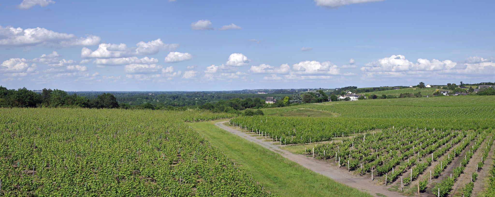
The Loire from ocean to source – GR 3 between Tours and Orléans
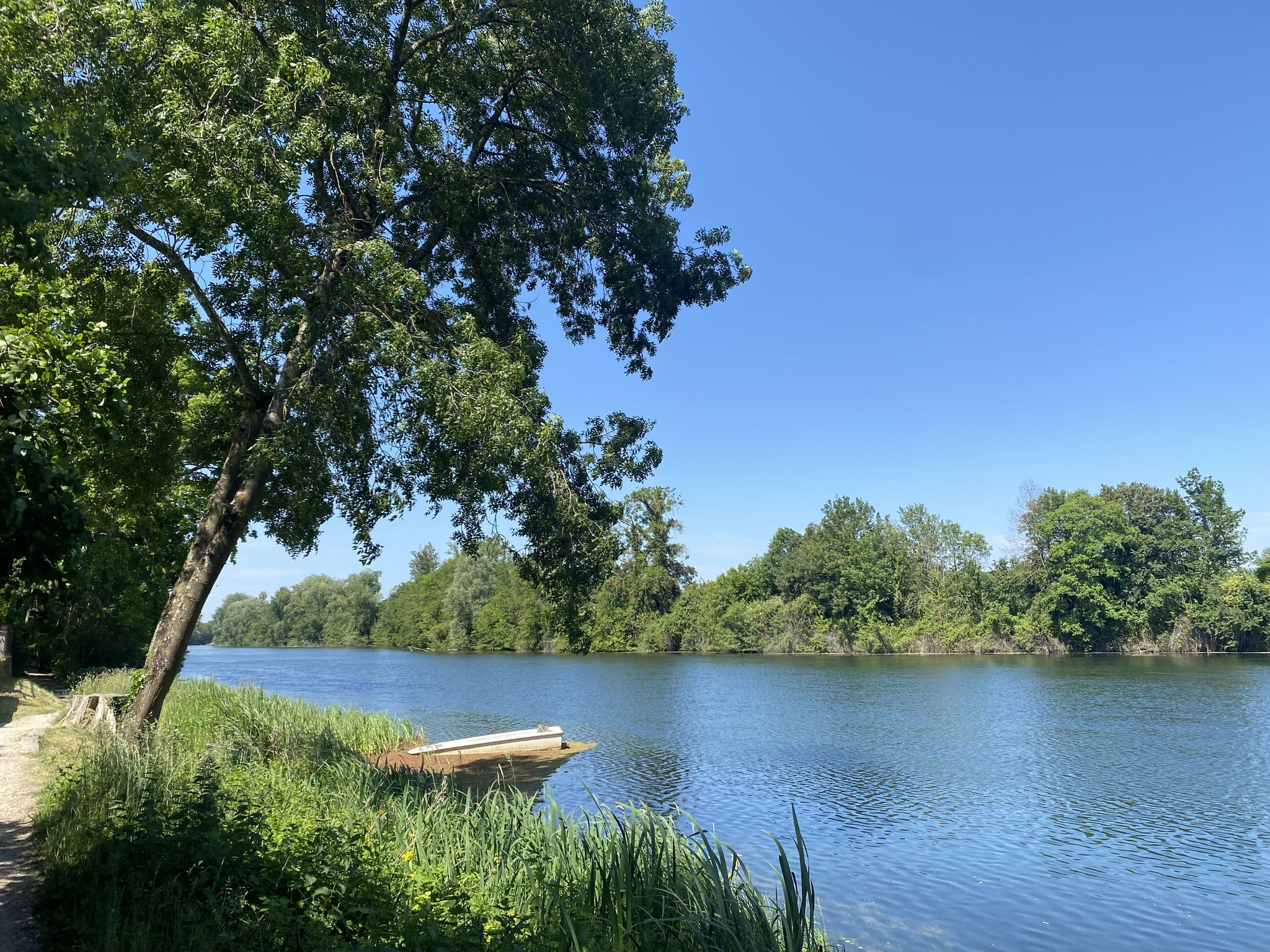
Nature with the family – walks around Orléans
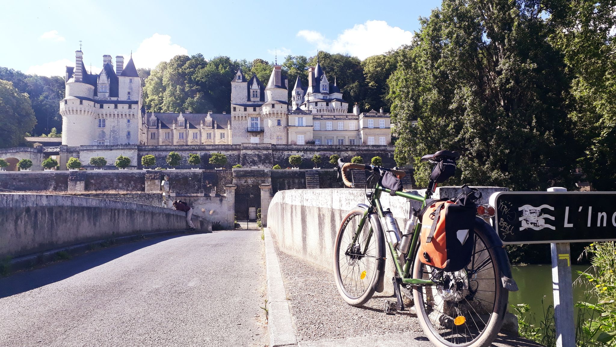
La Loire à vélo – Between nature and castles
Other adventures around Orléans


Tips from the Community

Orléans is a surprisingly nice city. What kind of city is it? I would describe Orléans as historically French, but lively. There are students living there, many shops and restaurants, and the center is quite compact. You'll find the historic center around Place du Martroi, Rue Jeanne d'Arc, and the Sainte-Croix cathedral. Many half-timbered houses, colorful facades, and charming streets. And yes: Jeanne d'Arc is pretty much everywhere there. She liberated Orléans in 1429 during the Hundred Years' War and has been inextricably linked to the city ever since. Her statue stands in the middle of Place du Martroi, and you'll find the Maison de Jeanne d'Arc there, among other things. Around Rue de Bourgogne and its side streets, there are many places to eat and drink. On the other side, you can walk towards the Loire and stroll along the quays.
1
0

At the moment, with summer weather, leaving Combleux and heading up towards Montargis, early in the morning, offers beautiful views of the rising sun...
0
0
Between the Loire and the forest, the commune of Mardié is part of the Métropole Orléans Val de Loire, forming its eastern entrance, 12 km from the center of Orléans. With a long history largely marked by viticulture, part of its territory belongs to the Loire Valley section classified as a UNESCO World Heritage site. Quite vast, the commune has an area of 17.3 km² and stretches for about 12 km from Northwest to Southeast with a width of only 4 to 5 km. The relief is marked only by the slopes that delimit the valleys of the Loire and the river Cens, doubled by the Canal d'Orléans. The altitude is between 100 and 120 m. The landscapes are varied and have a lot of character. "Natural" landscapes with the banks of the Loire, the canal and the Cens valley, vast cultivated areas and very extensive woods. Inhabited landscapes with the town center, clustered around a beautiful Romanesque church, a lively district in Pont-aux-Moines with its small shops, very green and airy residential areas, some important hamlets that have retained traditional rural housing mixed with more recent constructions. The commune benefits from the main services and shops, and is well served by public transport to Orléans. Despite demographic growth, which remains controlled (just under 3000 inhabitants), it has retained a fairly marked rural character and remains, in many respects, a village where life is good.
0
0

Very beautiful place along the canal, the smells of spring and the birds, superb!
0
0
Near this Bridge: *Why the km 96 marker in Orléans?* (Quai du Châtelet) The km 96 marker in Orléans *corresponds neither to the distance from the source nor from the mouth of the river. It is part of a **local marking system* related to river navigation and 19th-century cartography. These markers were used to: - *Measure navigable sections* between two ports or cities (e.g., Orléans-Blois, Orléans-Tours). - *Calculate transport tariffs* for goods, as was done by "water coach plates" (the fluvial equivalent of road markers for stagecoaches).
0
0

Nice little place to have a coffee. However, it's €3 for a coffee...
0
0

A place steeped in history, where the Tourelles fortress once stood, center of the English siege and surprisingly captured by Joan of Arc on 6 May 1429
0
0

Continue straight ahead to get back on the road without carrying your bikes.
0
0
Frequently Asked Questions
How many hiking trails are accessible from bus stations around Orléans?
There are over 300 hiking routes around Orléans that are easily accessible from local bus stations. This extensive network offers a wide variety of options for all skill levels, from leisurely strolls to more challenging treks.
Are there easy hiking options accessible by bus in Orléans?
Yes, Orléans offers a significant number of easy hikes reachable by bus. Out of the over 300 available routes, 135 are classified as easy, making them perfect for beginners or those looking for a relaxed outdoor experience. An example of an easy route is the Confluence With the Loire loop from La Chapelle-Saint-Mesmin, which offers gentle terrain and scenic views.
What kind of landscapes can I expect on bus-accessible hikes near Orléans?
The bus-accessible hikes around Orléans primarily feature the vast Forêt Domaniale d'Orléans, France's largest state-owned forest, characterized by oak and Scots pine. You'll also find numerous ponds and marshes, as well as scenic trails along the Loire River and the Canal d'Orléans. The region is generally flat, offering pleasant walks through diverse natural settings.
Are there any circular routes available from bus stations?
Yes, many of the bus-accessible routes around Orléans are circular, allowing you to start and end your hike at the same bus stop. This is convenient for public transport users. For instance, the George V Bridge – Orleans loop from Orléans is a popular circular option that explores the city's riverside.
Can I bring my dog on these bus-accessible hiking trails?
Many trails in the Orléans region, particularly within the Forêt Domaniale d'Orléans, are dog-friendly. However, it's always recommended to check local regulations for specific areas, especially Natura 2000 sites, and to keep your dog on a leash to protect wildlife. Public transport rules for dogs can vary, so verify with the bus operator before traveling.
What are some interesting natural attractions or landmarks I can see along these routes?
The bus-accessible trails around Orléans offer several natural and historical points of interest. You can explore various ponds like Île Charlemagne Pond or the Valley Pond. The region also features historical elements, including old mills along the Loiret River, as seen on routes like the Le chateau d'olivet – Mothe Mill loop from Saint-Pryvé-Saint-Mesmin.
Are there family-friendly hiking options accessible by bus?
Absolutely. The abundance of easy and moderate trails, combined with the generally flat terrain of the Orléans Forest and riverside paths, makes many routes suitable for families. Look for shorter, well-maintained circular paths that offer points of interest like ponds or picnic areas. The Montée de la Chalopinière – Pond loop from Saint-Jean-de-Braye is an example of a moderate route that could be enjoyed by active families.
What is the best time of year to hike near Orléans using public transport?
Spring and autumn are generally ideal for hiking around Orléans. The weather is mild, and the natural landscapes, especially the forests, are vibrant with seasonal colors. Summer can also be pleasant, particularly for shaded forest trails, but be mindful of warmer temperatures. Winter offers a different charm, with crisp air and quiet paths, though some services might be reduced.
What do other hikers say about the trails around Orléans?
The hiking trails around Orléans are highly rated by the komoot community, with an average score of 4.56 stars from over 1200 ratings. Reviewers often praise the peaceful forest environments, the scenic views along the Loire River, and the well-maintained paths that make for enjoyable and accessible outdoor experiences.
Where can I find more information about the Orléans Forest?
For more detailed information about the vast Forêt Domaniale d'Orléans, its biodiversity, and specific attractions, you can visit the official tourism websites. The forest is a significant natural asset to the region, offering extensive opportunities for exploration. You can find more details at tourisme-orleansmetropole.com or tourismeloiret.com.
Most popular routes around Orléans
Most popular attractions around Orléans

Get inspired with the komoot mobile app


Didn’t find what you were looking for?
Check out more Hikes throughout Orléans below and find the perfect route in your destination.
Explore more
Browse the best Hikes in other regions.
