The best hikes from bus stations around Ussel
4.6
(1020)
5,722
hikers
27
hikes
Bus station hiking trails around Ussel are situated in the Corrèze department of central France, within the Massif Central. The region features mountainous terrain, with Ussel itself resting on a hilltop between the valleys of the Diège and Sarsonne rivers. Hikers will encounter diverse landscapes including the eastern edge of the Plateau de Millevaches, extensive forests like Mirambel, and numerous lakes such as Lac de Ponty. The area offers varied elevation changes suitable for moderate hiking.
Best bus station hiking…
Last updated: July 2, 2026
4.3
(6)
20
hikers
18.4km
05:15
430m
430m
Hard hike. Very good fitness required. Easily-accessible paths. Suitable for all skill levels.
5.0
(2)
16
hikers
16.5km
04:48
410m
410m
Moderate hike. Good fitness required. Easily-accessible paths. Suitable for all skill levels.

Sign up for free
4.8
(4)
20
hikers
9.57km
02:38
160m
160m
Moderate hike. Good fitness required. Easily-accessible paths. Suitable for all skill levels.
4.7
(6)
15
hikers
8.52km
02:21
150m
150m
Moderate hike. Good fitness required. Easily-accessible paths. Suitable for all skill levels.
3.7
(3)
11
hikers
11.1km
03:11
260m
260m
Moderate hike. Good fitness required. Easily-accessible paths. Suitable for all skill levels.
Get access to more routes and recommendations from other explorers.
Sign up for free
Already have an account?
Our route recommendations are based on thousands of hikes, rides, and runs completed by other people on komoot.
Start today with a free account
Your next adventure awaits.
Login or Signup
Popular around Ussel





Tips from the Community


Beautiful castle, close for the siesta
0
0

nice picnic place
0
0

Its name suggests that it was considered a sacred spring, and it must have been the destination of a procession from the nearby church, along with the statue of the saint. It is said that the priest blessed the water directly from the fountain, which would then fill the holy water font. No evidence of its healing properties seems to have survived. Further down, 50 meters, is a rather impressive pool, surely fed by the fountain.
0
0

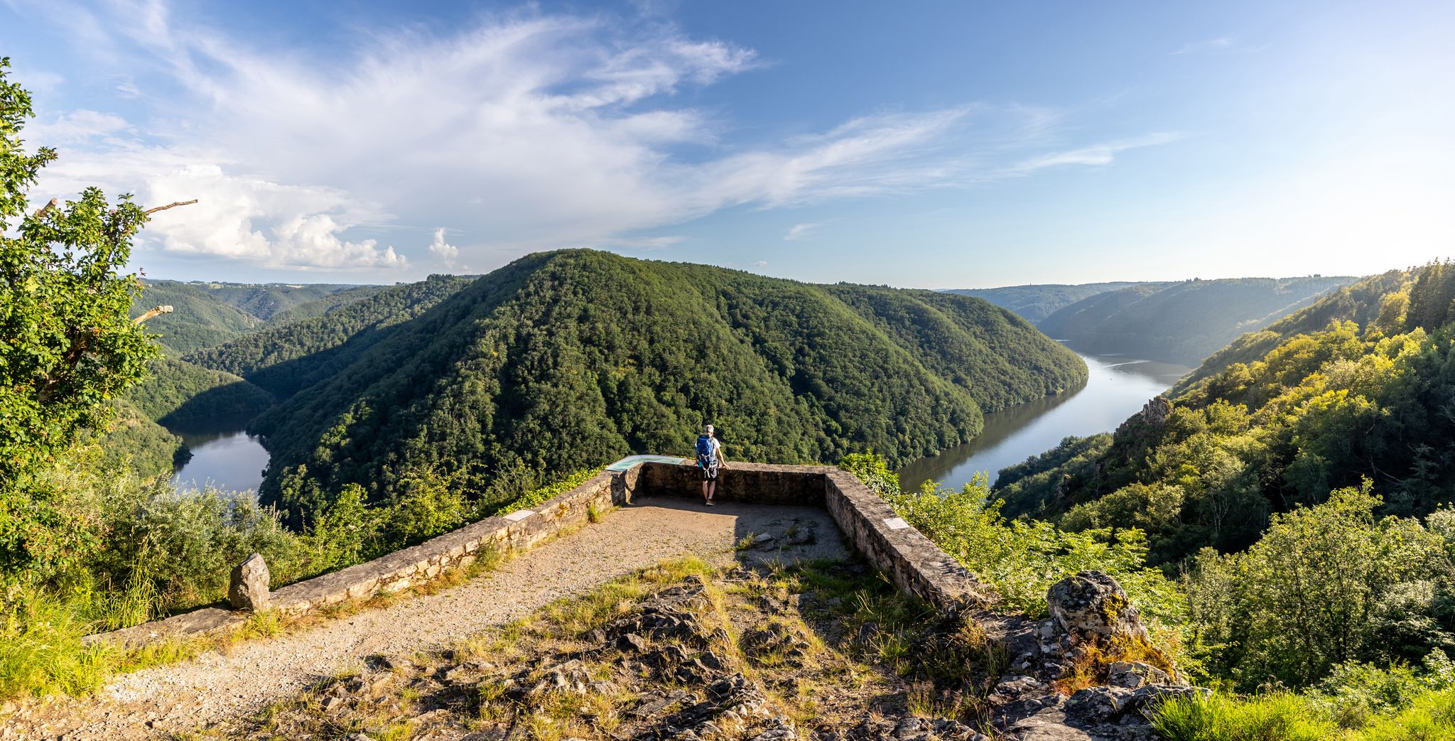
The castle, which once dominated the Dordogne valley from a rocky outcrop, has stood since 1952 on a headland that juts out into the Barrage de Bort-les-Orgues reservoir. The original character of the castle can only be guessed at when the water level is low. The multi-storey building is surrounded by five towers of roughly the same thickness and one thinner one, each with overhangs and conical roofs. The individual floors are connected by a spiral staircase in the vestibule. The inner courtyard was originally roofless. The first floor consists of three large rooms with decorated fireplaces from the mid-19th century and various furniture. An art exhibition with works by painters, mostly from the region, takes place every year on the second floor. The artistically crafted roof trusses of the towers can be seen from the battlement on the top floor. Source: https://de.wikipedia.org/wiki/Schloss_Val
0
0
Wikipedia has information about the dam: FR: https://de.wikipedia.org/wiki/Barrage_de_Bort-les-Orgues DE: https://fr.wikipedia.org/wiki/Barrage_de_Bort-les-Orgues
1
1

The Bort dam is a structure 120 meters high and 390 meters long, straddling the municipalities of Bort and Lanobre, and creating a reservoir of more than 10 km2. Built between 1942 and 1952, it was then a veritable concrete juggernaut and today it remains one of the largest dams in France (and still the third in mainland France if we look at the quantity of water retained by a concrete construction). It is also the first and largest reservoir in the hydroelectric system of the Dordogne valley.
0
0
The Bort dam is a structure 120m high and 390m long, straddling the municipalities of Bort and Lanobre, and creating a reservoir of more than 10 km2. Built between 1942 and 1952, it was then a veritable behemoth of concrete and it remains today one of the largest dams in France (and even still the third largest in mainland France if we look at the quantity of water retained by a construction of concrete). It is also the first and largest reservoir of the hydroelectric system in the Dordogne valley.
1
0
Frequently Asked Questions
How many hiking trails are accessible from bus stations around Ussel?
There are 11 moderate hiking trails around Ussel that are conveniently accessible from bus stations, allowing you to explore the region without needing a car.
What kind of landscapes can I expect on these bus-accessible hikes near Ussel?
The trails accessible from Ussel's bus stations offer a diverse range of landscapes. You can expect to traverse lush forests, such as the significant Forest of Mirambel, and enjoy views of the mountainous terrain characteristic of the Massif Central and the eastern edge of the Plateau de Millevaches. Many routes also feature picturesque valleys and river crossings.
Are there any circular hiking routes available from bus stations?
Yes, many of the trails are designed as circular routes, bringing you back to your starting point. For example, the Ussel church – Ponty Forest loop from Ussel offers a pleasant circular excursion, and the Fontaine St-Martin – Gallo-Roman ruins loop from Margerides provides another great option.
Can I find trails that pass by lakes or other water features?
Absolutely. The region around Ussel is dotted with beautiful lakes and rivers. The Siauve Beach – Val Castle loop from Bort-les-Orgues takes you near the impressive Bort-les-Orgues Dam and its reservoir. You can also explore highlights like Lac de Viam or the Moulin de Luguet, which are often part of or near bus-accessible routes.
Are there any family-friendly hiking options accessible by bus?
While all 11 routes are rated moderate, some are shorter and have less elevation gain, making them more suitable for families with older children or those looking for a less strenuous walk. The Ussel church – Ponty Forest loop from Ussel, at 8.5 km, is a good example of a manageable route that offers beautiful scenery without being overly challenging.
What do other hikers say about the bus-accessible trails around Ussel?
The komoot community highly rates the hiking experience around Ussel, with an average score of 4.56 stars. Hikers often praise the region's tranquil forests, well-maintained paths, and the convenience of accessing diverse natural beauty directly from public transport hubs.
Are there any historical or cultural points of interest along these trails?
Yes, some routes incorporate historical elements. The Fontaine St-Martin – Gallo-Roman ruins loop from Margerides, for instance, allows you to discover ancient ruins. You might also encounter charming villages like Bonnefond Village or unique structures like the Templar sheep cross near certain trails.
What is the typical difficulty level of these bus station hikes?
All 11 hiking trails accessible from bus stations around Ussel are rated as 'moderate'. This means they generally involve some elevation changes and can range from 8.5 km to over 18 km in distance, requiring a reasonable level of fitness.
Are there any longer routes for more experienced hikers?
For those seeking a longer challenge, the Lac de Sèchemailles loop from Gare de Maussac is a substantial 18.1 km route with nearly 300 meters of elevation gain, offering a full day's adventure through varied terrain.
What are some notable viewpoints or natural monuments I can reach?
While hiking from bus stations, you can often find stunning vistas. The region offers natural monuments like the View over Bort-les-Orgues. The broader Ussel area is also close to Mont Bessou, the highest point in Corrèze, which provides magnificent panoramic views from its observation tower, though specific bus routes directly to its summit trails may vary.
Is it possible to combine hiking with other activities near Ussel?
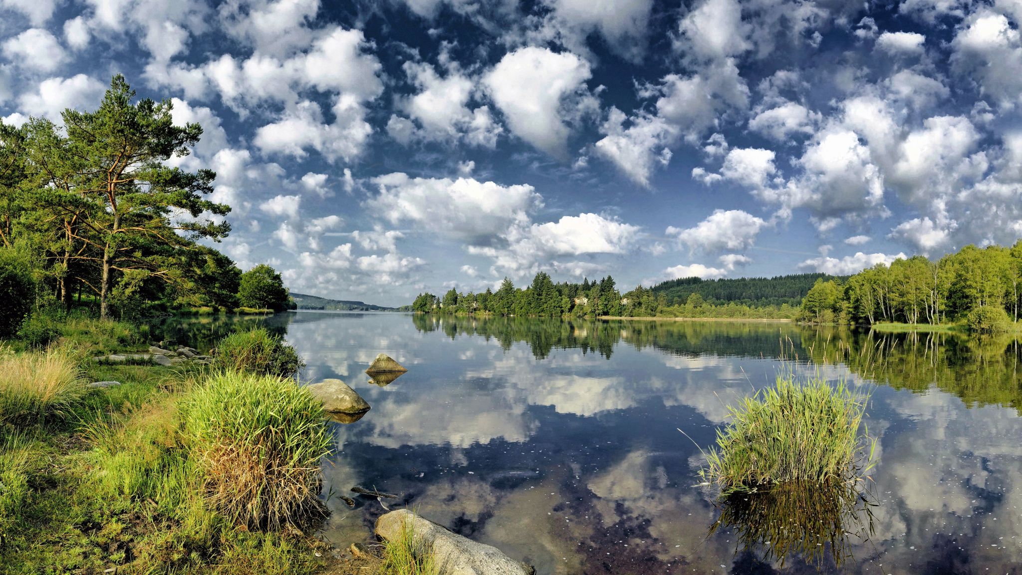
Yes, the Ussel region is well-equipped for various outdoor pursuits. Many trails are near lakes like Lac de Ponty, which offers leisure activities such as canoeing. The blend of hiking with opportunities for cycling or simply enjoying the natural beauty of the lakes makes for a versatile outdoor experience.
Most popular routes around Ussel
Most popular attractions around Ussel

Get inspired with the komoot mobile app


Didn’t find what you were looking for?
Check out more Hikes throughout Ussel below and find the perfect route in your destination.
Explore more
Browse the best Hikes in other regions.
