The best hikes from bus stations around Calvi
4.5
(14700)
94,762
hikers
48
hikes
Hiking around Calvi offers a diverse range of landscapes, from coastal paths to mountainous terrain and shaded forests. The region is characterized by its unique position between the Mediterranean Sea and the Corsican mountains, providing varied environments for exploration. Hikers can find trails leading through lush river valleys, past historical sites, and to panoramic viewpoints. This area provides a rich tapestry of natural features for outdoor enthusiasts.
Best bus station hiking trails around Calvi
- The most popular bus station hiking…
Last updated: July 2, 2026
3.7
(69)
222
hikers
12.3km
03:21
190m
190m
Moderate hike. Good fitness required. Easily-accessible paths. Suitable for all skill levels.
4.2
(19)
353
hikers
7.23km
01:54
60m
60m
Easy hike. Great for any fitness level. Easily-accessible paths. Suitable for all skill levels.

Sign up for free
4.3
(57)
180
hikers
10.3km
02:57
250m
250m
Moderate hike. Good fitness required. Easily-accessible paths. Suitable for all skill levels.
4.4
(23)
119
hikers
8.48km
02:21
140m
140m
Moderate hike. Good fitness required. Mostly accessible paths. Sure-footedness required.
4.6
(67)
321
hikers
Moderate hike. Good fitness required. Easily-accessible paths. Suitable for all skill levels.
Get access to more routes and recommendations from other explorers.
Sign up for free
Already have an account?
Our route recommendations are based on thousands of hikes, rides, and runs completed by other people on komoot.
Start today with a free account
Your next adventure awaits.
Login or Signup
Popular around Calvi

Hikes from bus stations around Lac de Padula
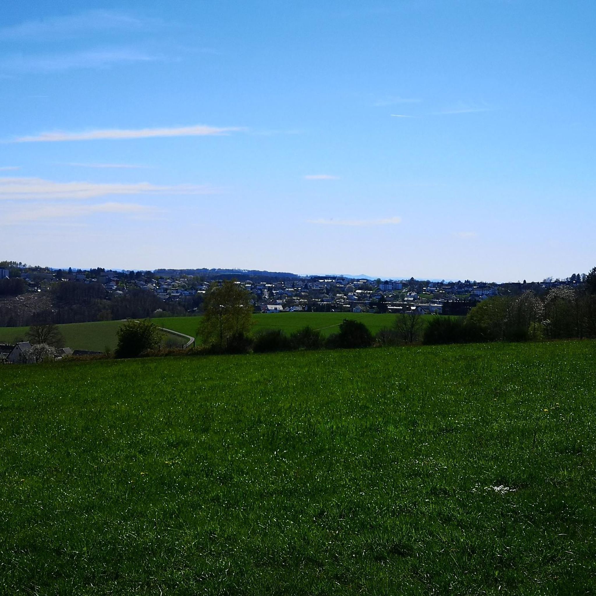
Hikes from bus stations around Lac De Codole

Hikes from bus stations around Lac de Codole

Hikes from bus stations in Forêt De Bonifatu
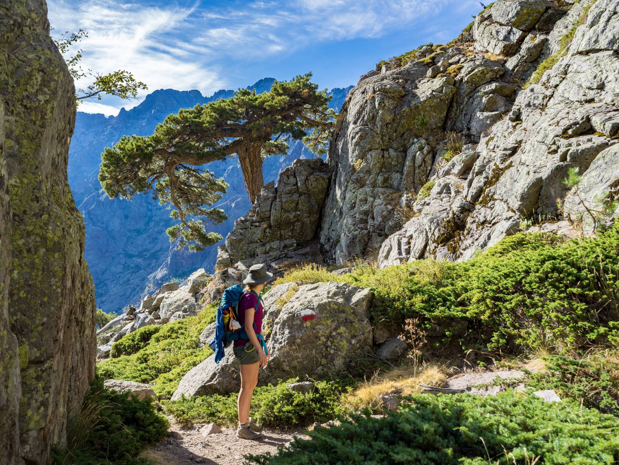
GR20 – Europe's toughest long-distance hiking trail through Corsica
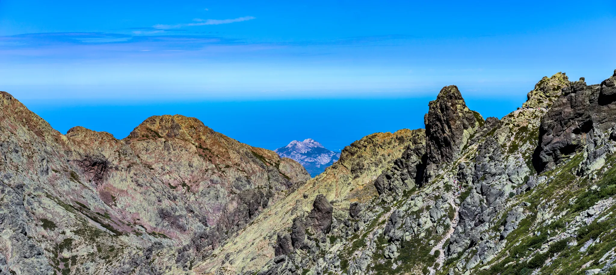
Mare è Monti north – From the mountains to the sea
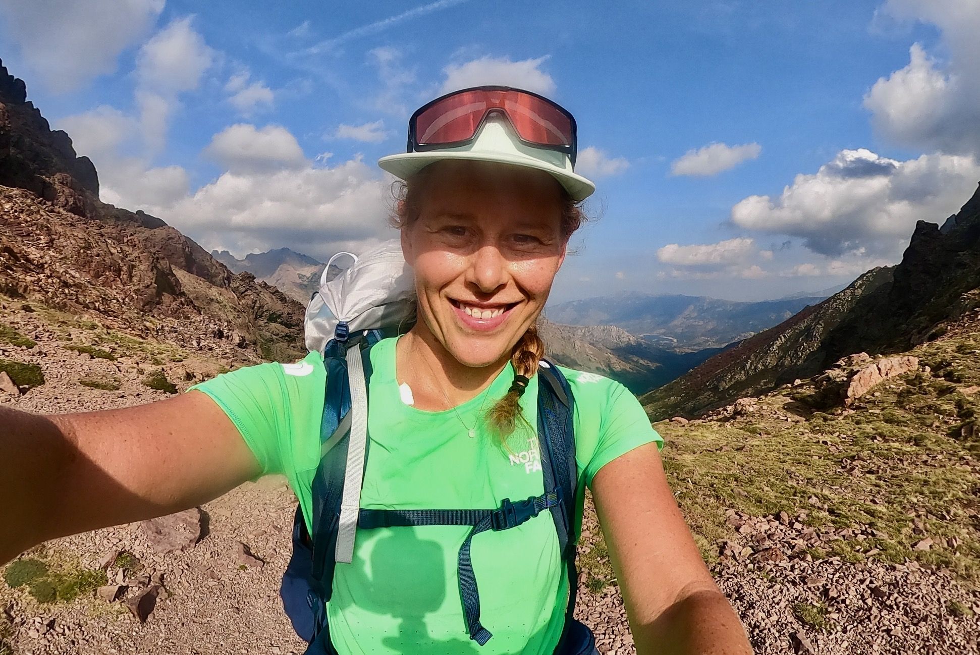
GR 20 – Six days backpacking the peaks and refuges of Corsica
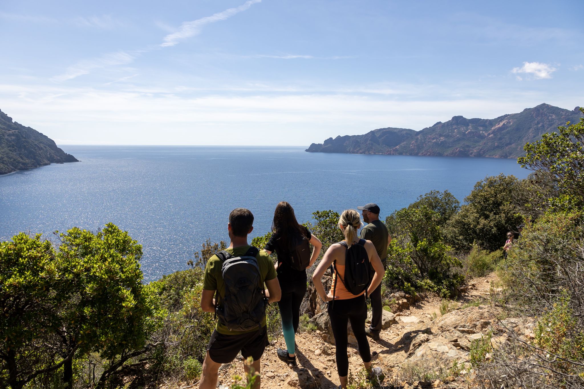
Corsica's discovery hikes — between sea and mountains
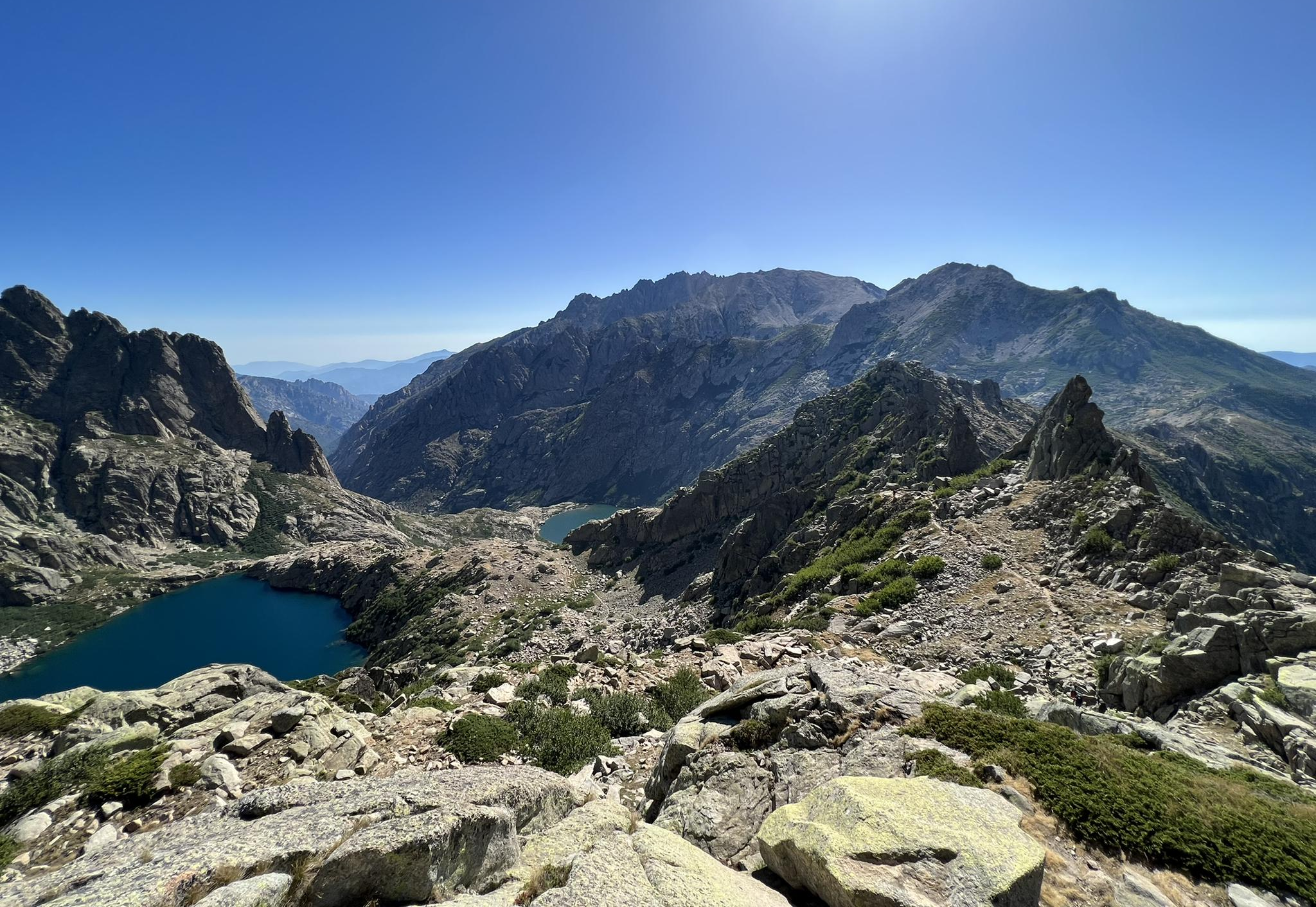
Great hikes of Corsica – Terre de nature
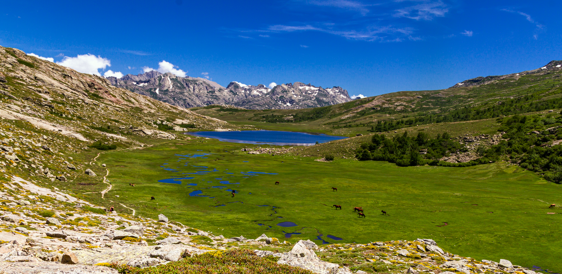
In the footsteps of the Corsican shepherds – Sentier de la transhumance
Other adventures around Calvi


Tips from the Community

Freedom Fighters of Corsica
0
0

When SUPing, you have to be careful of motorboats. Not all boats are considerate of hand-powered watercraft.
0
0


Nice walk, especially towards the end of the first half, nice swimming spots
0
0

the peaks in the sea
0
0

Very beautiful beach, clean and quiet despite being busy. The sea is full of fish (mask and fins are essential). Parking is €3.
1
0

With memorial plaque to Pasquale de Paoli.
0
0
Frequently Asked Questions
How many bus-accessible hiking trails are available around Calvi?
There are over 40 hiking routes around Calvi that are easily accessible from bus stations, offering a diverse range of experiences for all skill levels. These include 15 easy, 23 moderate, and 4 difficult trails.
Are there any easy, family-friendly hikes accessible by bus from Calvi?
Yes, Calvi offers several easy, family-friendly options. For instance, the L'Île-Rousse – Pietra Lighthouse loop from L'Île-Rousse is an easy 5 km route with minimal elevation gain, perfect for a leisurely stroll with scenic coastal views.
What kind of natural features can I expect to see on bus-accessible hikes near Calvi?
The region around Calvi is rich in natural beauty. You can explore stunning coastal paths with Mediterranean views, shaded forests like Bonifatu, and serene river valleys. Some trails lead to natural pools and freshwater rivers, such as those found in the Fango River Valley, a UNESCO biosphere reserve known for its refreshing swimming spots.
Are there any circular hiking routes from bus stations in the Calvi area?
Absolutely. Many routes are designed as loops, allowing you to start and end at the same point, often near a bus stop. An example is the Superb trail near Pigna – Sant' Antonino loop from Pigna, a moderate 4.7 km hike offering beautiful views of the Balagne region.
What are some notable viewpoints or landmarks accessible on these trails?
Hikers can discover numerous viewpoints and historical sites. The region offers panoramic sea vistas, and trails often lead to charming villages. For instance, the View of the Fango Valley provides stunning perspectives of the landscape. You might also encounter historical sites like the Calvi Citadel or the Chapel of Notre-Dame-de-la-Serra, which offer spectacular views.
Can I find trails with wild swimming spots near bus stops?
Yes, the Fango River Valley, accessible by bus, is renowned for its natural swimming spots. The clear, fresh waters of the Fango River provide a perfect opportunity to cool off during your hike. Look for routes that pass through or near the Fango River Valley for these experiences.
What is the best season for bus-accessible hikes around Calvi?
Calvi offers great hiking opportunities year-round. Spring and autumn provide pleasant temperatures for longer treks, with blooming wildflowers or vibrant fall foliage. Summer is ideal for coastal walks and trails that lead to refreshing river swimming spots. Even winter can be mild, offering quieter trails, though higher mountain passes might be inaccessible.
Are there any moderate difficulty hikes from Calvi bus stations?
Yes, the majority of bus-accessible trails around Calvi are of moderate difficulty. A great option is the View of Pigna – Sant' Antonino loop from Pigna, which is a 7.2 km moderate hike that takes you through picturesque landscapes with rewarding views.
What do other hikers enjoy most about hiking in Calvi?
The area is highly rated by the komoot community, with an average score of 4.5 stars from over 13,000 ratings. Reviewers often praise the diverse landscapes, from stunning coastal views to lush forests and river valleys, as well as the well-maintained paths and the accessibility of many trails via public transport.
Are there any less crowded hiking trails accessible by bus near Calvi?
While popular spots can attract visitors, many trails, especially those venturing slightly inland or outside peak season, offer a more tranquil experience. Exploring routes in areas like the Bonifatu Forest or the Tartagine Valley can provide a sense of solitude amidst nature, even when starting from a bus-accessible point.
Can I find trails that offer views of the Calvi Citadel or the coastline?
Many trails in the Calvi region provide spectacular views of the coastline and the iconic Calvi Citadel. Hikes around the La Revellata peninsula or paths leading to the Chapel of Notre-Dame-de-la-Serra are particularly known for their panoramic vistas encompassing the bay, the citadel, and the surrounding mountainous hinterland.
Most popular routes around Calvi
Most popular attractions around Calvi

Get inspired with the komoot mobile app


Didn’t find what you were looking for?
Check out more Hikes throughout Calvi below and find the perfect route in your destination.
Explore more
Browse the best Hikes in other regions.
