The best traffic-free bike rides around Güejar Sierra
4.7
(41)
1,058
riders
20
rides
No traffic touring cycling routes around Güejar Sierra are situated within the Sierra Nevada Natural Park, offering a diverse mountainous landscape. The region is characterized by significant elevation changes, deep valleys carved by rivers like the Genil, and prominent features such as the Canales Reservoir. Cyclists navigate through areas with chestnut forests, bare reliefs, and views of high peaks. This environment provides varied terrain suitable for challenging ascents and scenic loops.
Best no traffic touring cycling routes around Güejar Sierra
…Last updated: May 21, 2026
4.8
(8)
169
riders
23.6km
02:08
880m
880m
Hard bike ride. Very good fitness required. Some segments of this route may be unpaved and difficult to ride.
5.0
(5)
144
riders
47.3km
04:08
1,120m
1,120m
Hard bike ride. Very good fitness required. Mostly paved surfaces. Suitable for all skill levels.

Sign up for free
4.3
(3)
79
riders
64.7km
05:32
1,450m
1,450m
Hard bike ride. Very good fitness required. Mostly paved surfaces. Suitable for all skill levels.
4.8
(4)
43
riders
22.7km
02:05
840m
840m
Hard bike ride. Very good fitness required. Mostly paved surfaces. Suitable for all skill levels.
5.0
(1)
43
riders
49.2km
03:52
1,050m
1,060m
Hard bike ride. Very good fitness required. Mostly paved surfaces. Suitable for all skill levels.
Get access to more routes and recommendations from other explorers.
Sign up for free
Already have an account?
Our route recommendations are based on thousands of hikes, rides, and runs completed by other people on komoot.
Start today with a free account
Your next adventure awaits.
Login or Signup
Popular around Güejar Sierra

On the road to the sun — bikepacking to southeast Spain
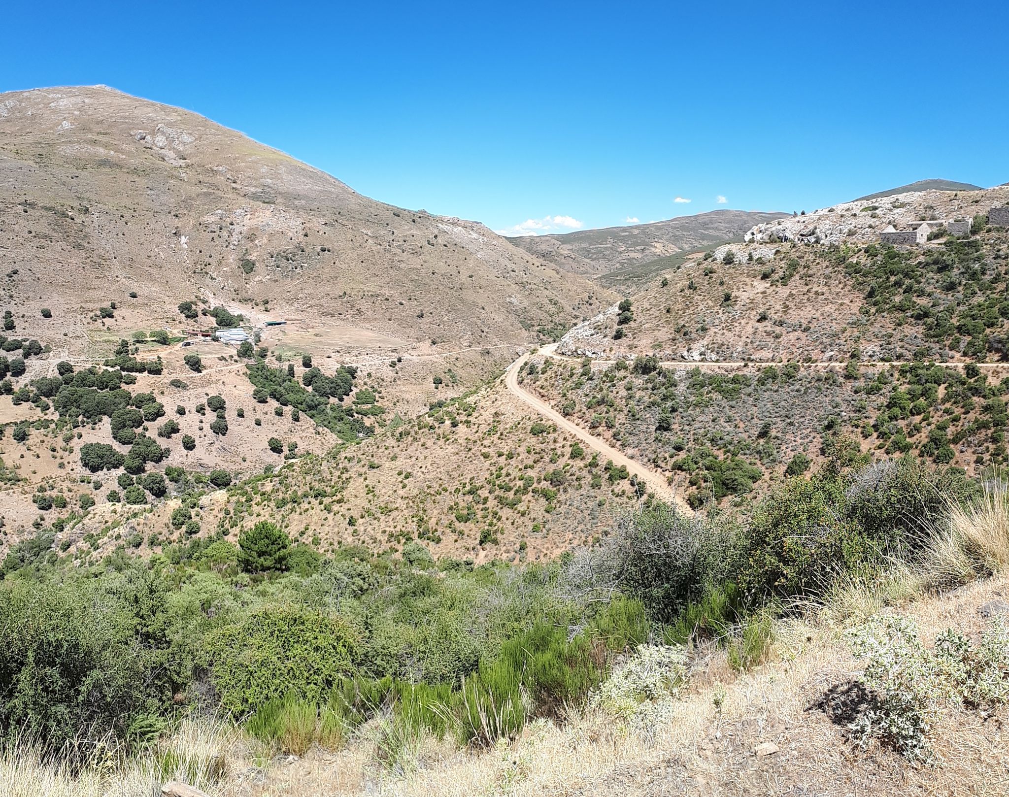
Nature and singletrack – bikepacking in Spain’s Sierra de Huétor
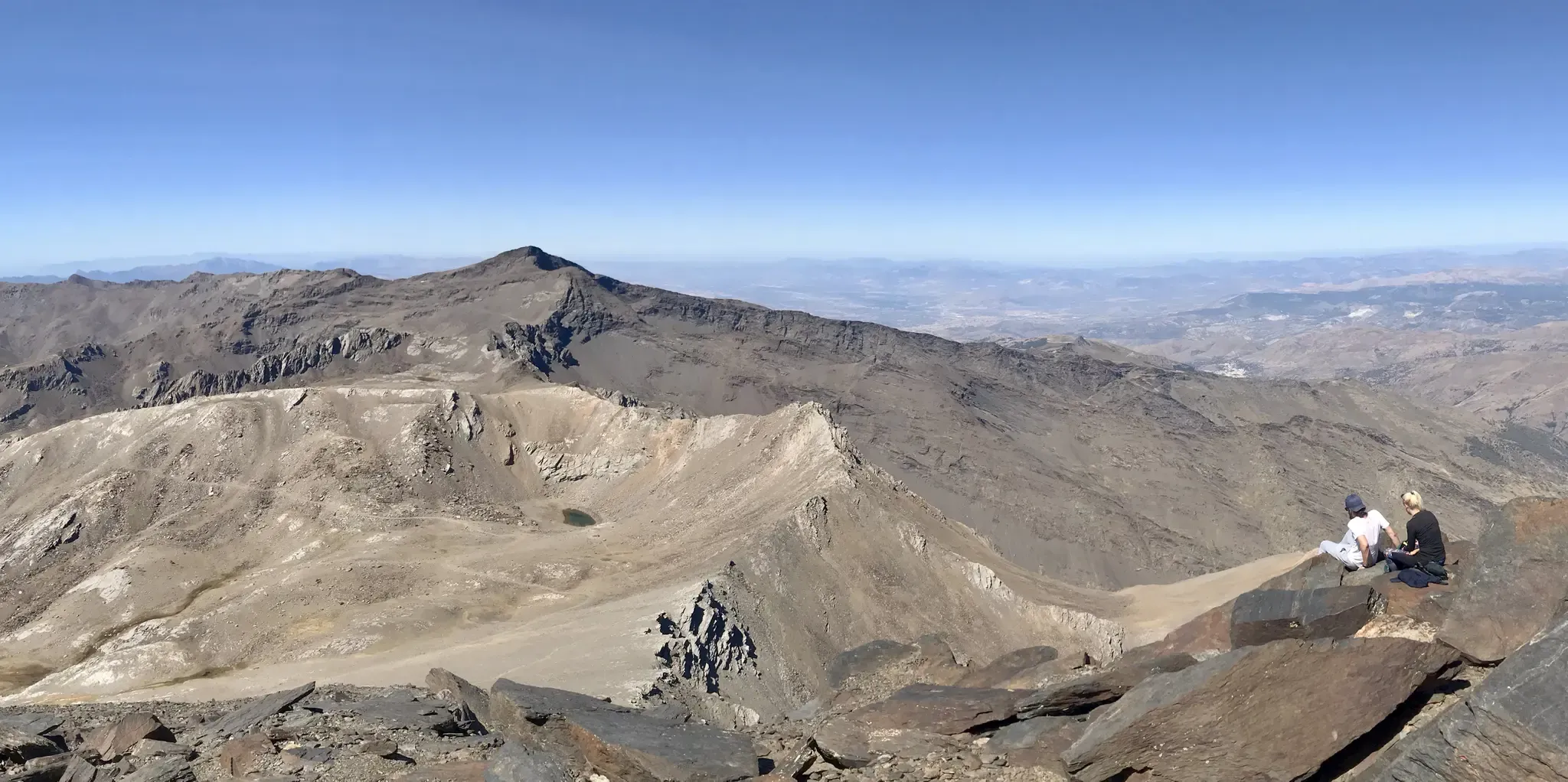
An unforgettable adventure – climb the Mulhacén’s north face in Spain
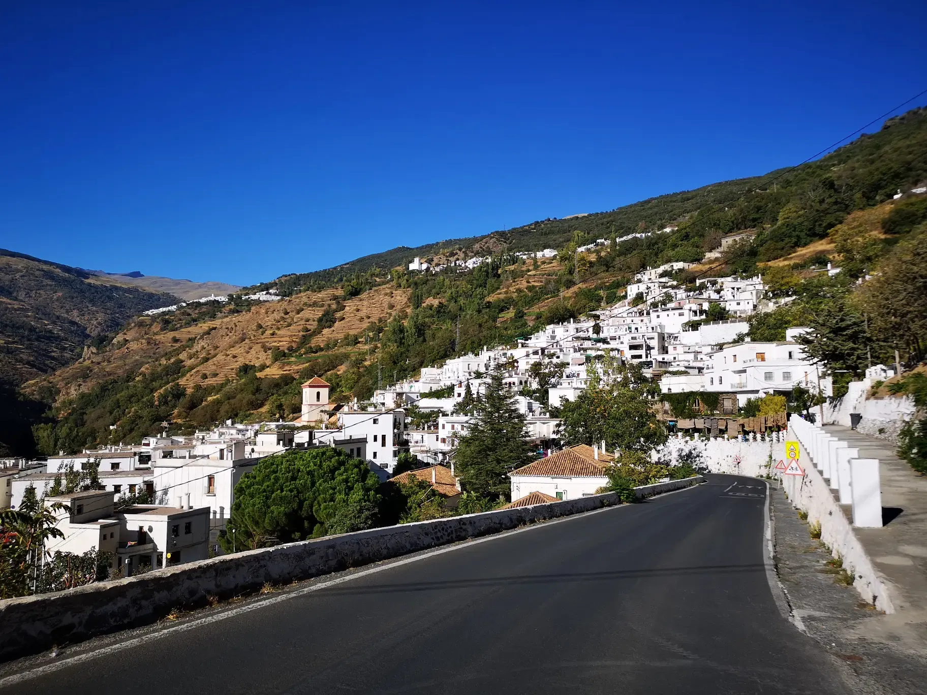
An Andalusian adventure on wheels – Transnevada
Traffic-free bike rides around Güejar Sierra

Traffic-free bike rides around Güejar Sierra
Other adventures around Güejar Sierra


Tips from the Community

The Veleta Peak viewpoint, located in the Sierra Nevada mountains (Granada), is one of the most spectacular spots to enjoy panoramic high-mountain views on the Iberian Peninsula. From the summit of Veleta you can enjoy: Views of the Mediterranean Sea on clear days. Panoramic views of Mulhacén, the highest peak on the peninsula. High-mountain landscapes with rock formations, snow (in winter), and native flora.
2
0

The view from Güéjar Sierra reveals a charming white village nestled among the mountains, with narrow streets and tiled roofs that seem to embrace nature. In the background, the peaks of the Sierra Nevada create a stunning landscape.
1
0
Güéjar Sierra is a picturesque Granada town at the foot of the Sierra Nevada, which preserves the charm of its narrow streets and whitewashed houses. Surrounded by mountains, viewpoints, and trails.
1
0

Mandatory stop once you are in it.I call it.the.pwdiez
1
0
A must-visit place. Not only to walk around and taste its gastronomy but also to enjoy its nature.
0
0

Here you still have to overcome 800 vertical meters to reach the top of the Pico Veleta. Shortly after that, cars cannot go any further and you are on the road alone!
1
0

Puerto de los Blancares, 1297m Puerto de los Blancares is a mountain pass in the Sierra Nevada, Granada, at an altitude of 1297 metres. It is on the GR-3201 route, which connects La Peza with Granada. The route is approximately 9.3 kilometres long and offers scenic scenery with an average gradient of 3.4%. It is a popular route for walkers and cyclists due to the beautiful scenery and the challenging, but advantageous, gradient. The route starts near the Pantano de Quéntar and passes through forests and open terrain.
5
0
Beautiful resting place along the river, accessible via stairs.
7
0
Frequently Asked Questions
How many no traffic touring cycling routes are available in Güejar Sierra?
There are over 20 dedicated no traffic touring cycling routes around Güejar Sierra, offering a variety of distances and challenges for cyclists looking to explore the region away from vehicle traffic.
What is the general difficulty level of touring cycling routes in Güejar Sierra?
The routes around Güejar Sierra are predominantly challenging, with 16 out of 20 routes rated as difficult. There are also 3 moderate routes and 1 easy route, ensuring options for various skill levels, though the region is known for its significant elevation gains.
What do other cyclists say about touring in Güejar Sierra?
The komoot community highly rates the touring cycling experience in Güejar Sierra, with an average score of 4.76 out of 5 stars from 44 ratings. Cyclists often praise the stunning Sierra Nevada landscapes, the challenging climbs, and the opportunity to ride on quiet, scenic paths.
Are there any circular no traffic touring cycling routes in Güejar Sierra?
Yes, several routes offer circular options, allowing you to start and finish in the same location. A notable example is the Canales Reservoir – Cerro del Sol Summit loop from Güéjar Sierra, which provides a challenging ride with panoramic views.
Are there any easy no traffic touring cycling routes for beginners in Güejar Sierra?
While many routes are challenging, there is at least one easy no traffic touring cycling route available in Güejar Sierra. These routes are ideal for beginners or those looking for a more relaxed ride, often following gentler gradients through picturesque scenery.
What are some challenging no traffic touring cycling routes for experienced cyclists?
Experienced cyclists seeking a challenge will find plenty of options. The Pico de Veleta from Hoya de la Mora offers a significant ascent towards one of Europe's highest paved roads. Other demanding routes include the various loops around the Canales and Quéntar Reservoirs, such as the Canales Reservoir – Quéntar Reservoir loop from Güéjar Sierra.
When is the best time of year to go touring cycling in Güejar Sierra?
The best time for touring cycling in Güejar Sierra is typically during the spring (April to June) and autumn (September to October). During these seasons, the weather is milder, and the landscapes are vibrant. Summer can be very hot, especially at lower altitudes, while winter brings snow to the higher peaks, making some routes inaccessible.
Are there places to park for these no traffic touring cycling routes?
Güejar Sierra itself serves as an excellent starting point for many routes, and parking is generally available within the village. For routes starting higher up, such as those towards Pico de Veleta, specific parking areas like Hoya de la Mora are common access points.
What natural attractions can I see along the no traffic touring cycling routes?
The routes offer access to stunning natural features within the Sierra Nevada Natural Park. You can expect majestic views of peaks like Mulhacén and Veleta, and ride alongside the beautiful Canales Reservoir. Highlights such as the Pico Veleta viewpoint offer incredible vistas.
Are there any huts or shelters along the touring cycling routes in Güejar Sierra?
Yes, for longer or multi-day tours, there are several huts and shelters available. Notable options include the Carihuela Bivouac Shelter and Refugio Poqueira. These can provide essential rest stops or overnight accommodation in the higher mountains.
Are there any routes that pass by significant water bodies?
Many routes in the region feature the impressive Canales Reservoir, offering beautiful waterside views. The Quéntar Reservoir – Canales Reservoir loop from Güéjar Sierra is a great example, showcasing both major reservoirs in the area.
Can I find cafes or places to eat near the no traffic touring cycling routes?
Güejar Sierra village itself has various cafes and restaurants where you can refuel before or after your ride. Along some of the more popular routes, especially those that pass through smaller hamlets or near tourist spots, you might find additional establishments. It's always advisable to carry sufficient water and snacks, especially on longer, more remote sections.
Most popular routes around Güejar Sierra
Most popular attractions around Güejar Sierra

Get inspired with the komoot mobile app


Explore more
Browse the best Cycling routes in other regions.
