The best traffic-free bike rides around Aller
38
riders
8
rides
Gravel biking around Aller features challenging routes with significant elevation gain, making it suitable for experienced riders. The terrain primarily consists of demanding paths that require good fitness and technical skill. These routes often traverse varied landscapes, offering a robust outdoor experience. The region's topography provides a consistent challenge for those seeking difficult no traffic gravel bike trails.
Best no traffic gravel bike trails around Aller
- The most popular no traffic gravel bike trail is Polio Lagoon – Rozamayor Recreation…
Last updated: August 26, 2026
9
riders
70.4km
05:48
1,730m
1,730m
Hard gravel ride. Very good fitness required. Mostly paved surfaces. Suitable for all skill levels.
9
riders
33.7km
03:17
1,030m
1,030m
Hard gravel ride. Very good fitness required. Mostly paved surfaces. Suitable for all skill levels.

Sign up for free
7
riders
47.1km
03:52
1,180m
1,180m
Hard gravel ride. Very good fitness required. Mostly paved surfaces. Suitable for all skill levels.
4
riders
55.8km
04:34
1,320m
1,320m
Hard gravel ride. Very good fitness required. Mostly paved surfaces. Suitable for all skill levels.
5
riders
36.1km
03:15
970m
970m
Hard gravel ride. Very good fitness required. Mostly paved surfaces. Suitable for all skill levels.
Get access to more routes and recommendations from other explorers.
Sign up for free
Already have an account?
Our route recommendations are based on thousands of hikes, rides, and runs completed by other people on komoot.
Start today with a free account
Your next adventure awaits.
Login or Signup
Popular around Aller
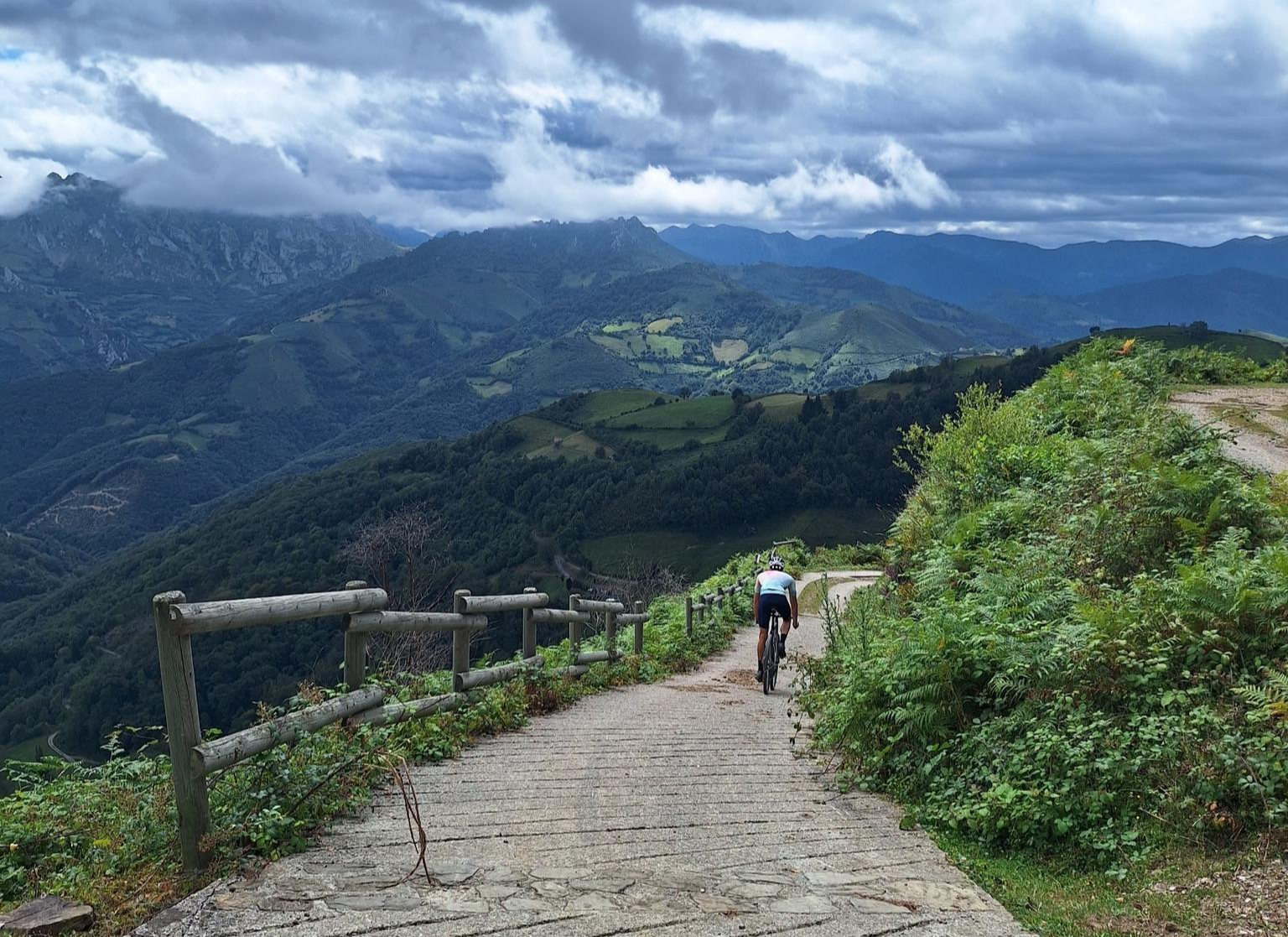
Central Mountain Cycling Ring GR 208 - Tour of the Asturian Mountains
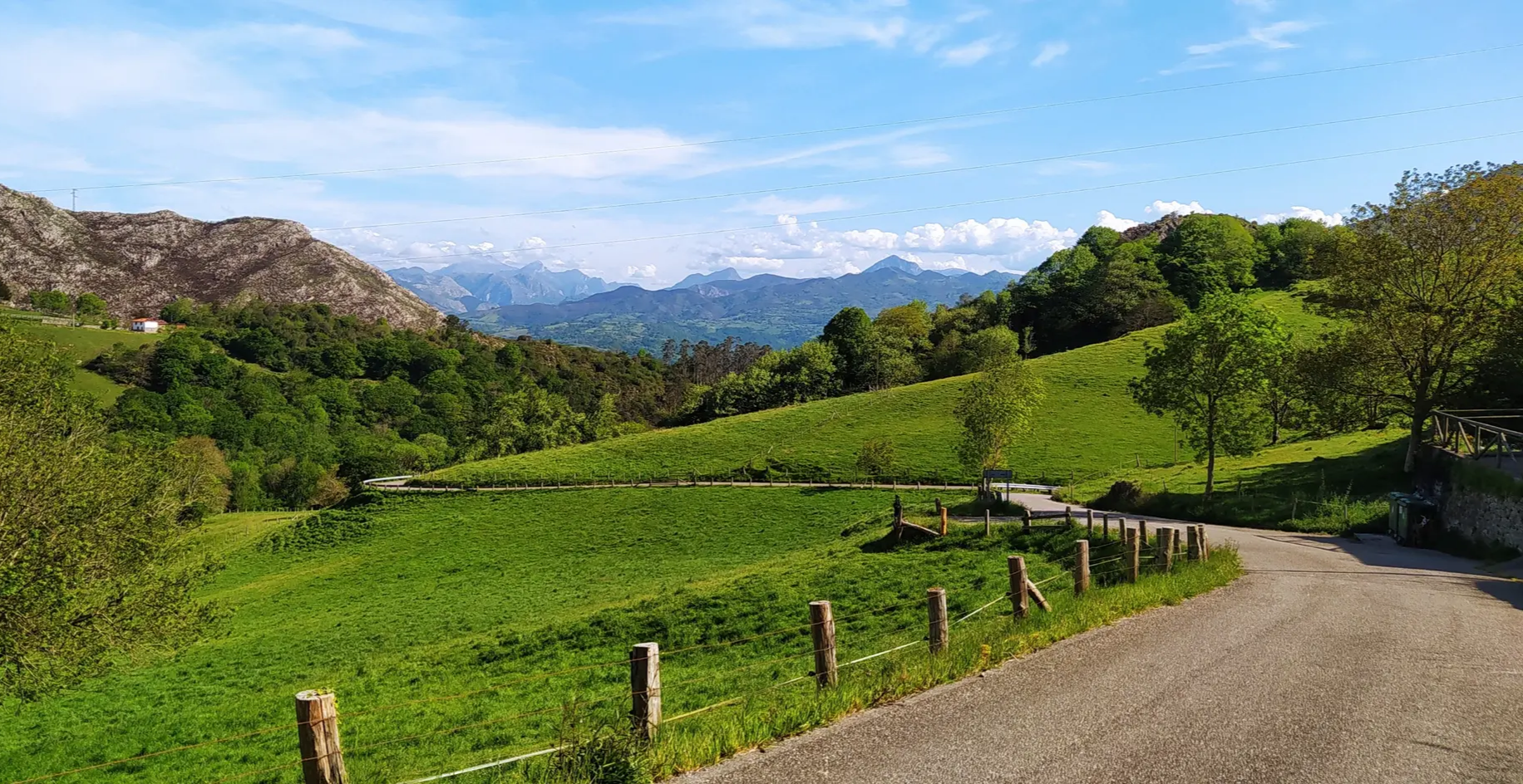
Great mountain passes of Picos de Europa on road bikes

TransCantabrica – Extreme mountain biking in northern Spain
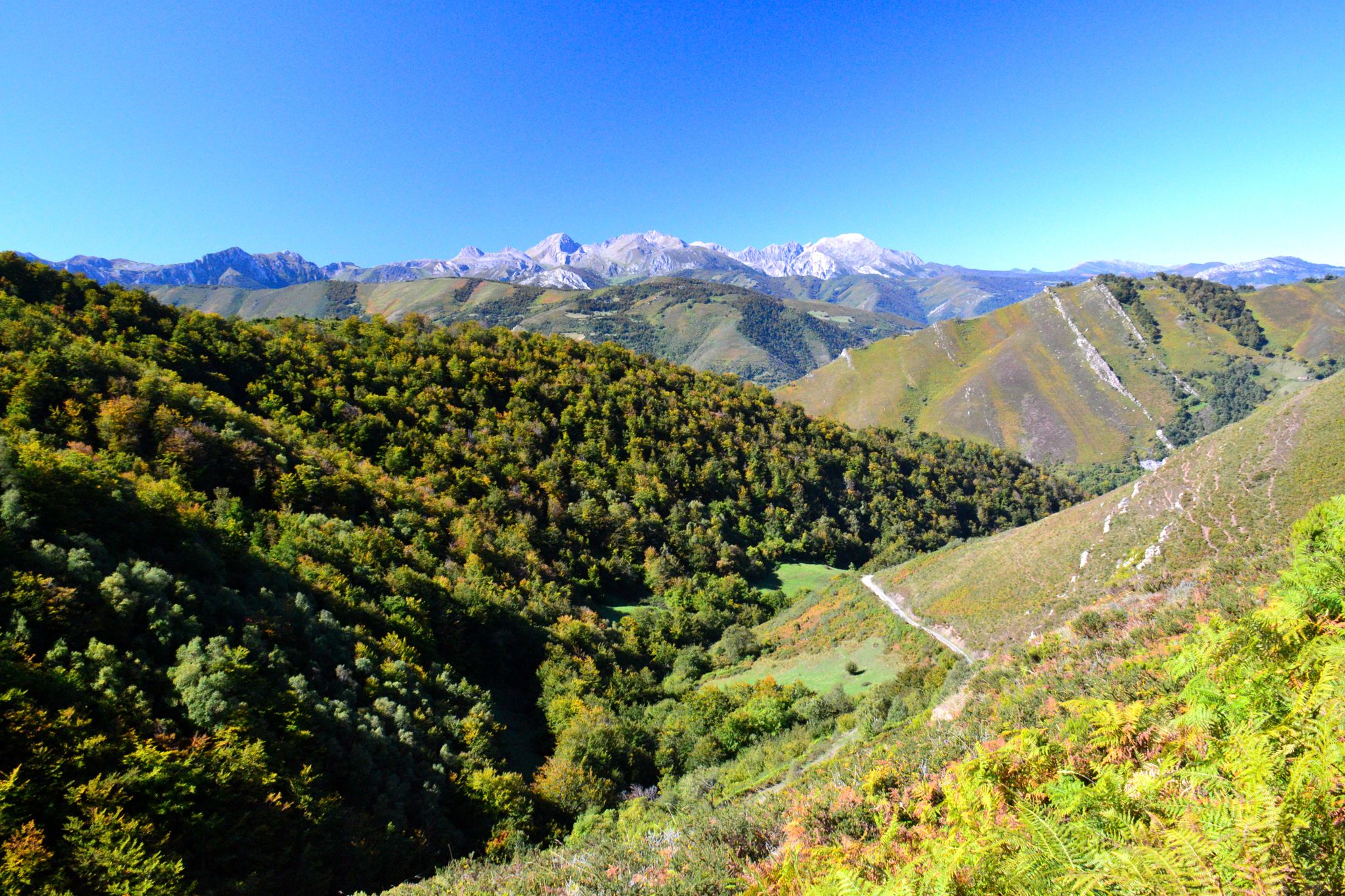
The heart of Asturias – Central Mountain Cycling Ring
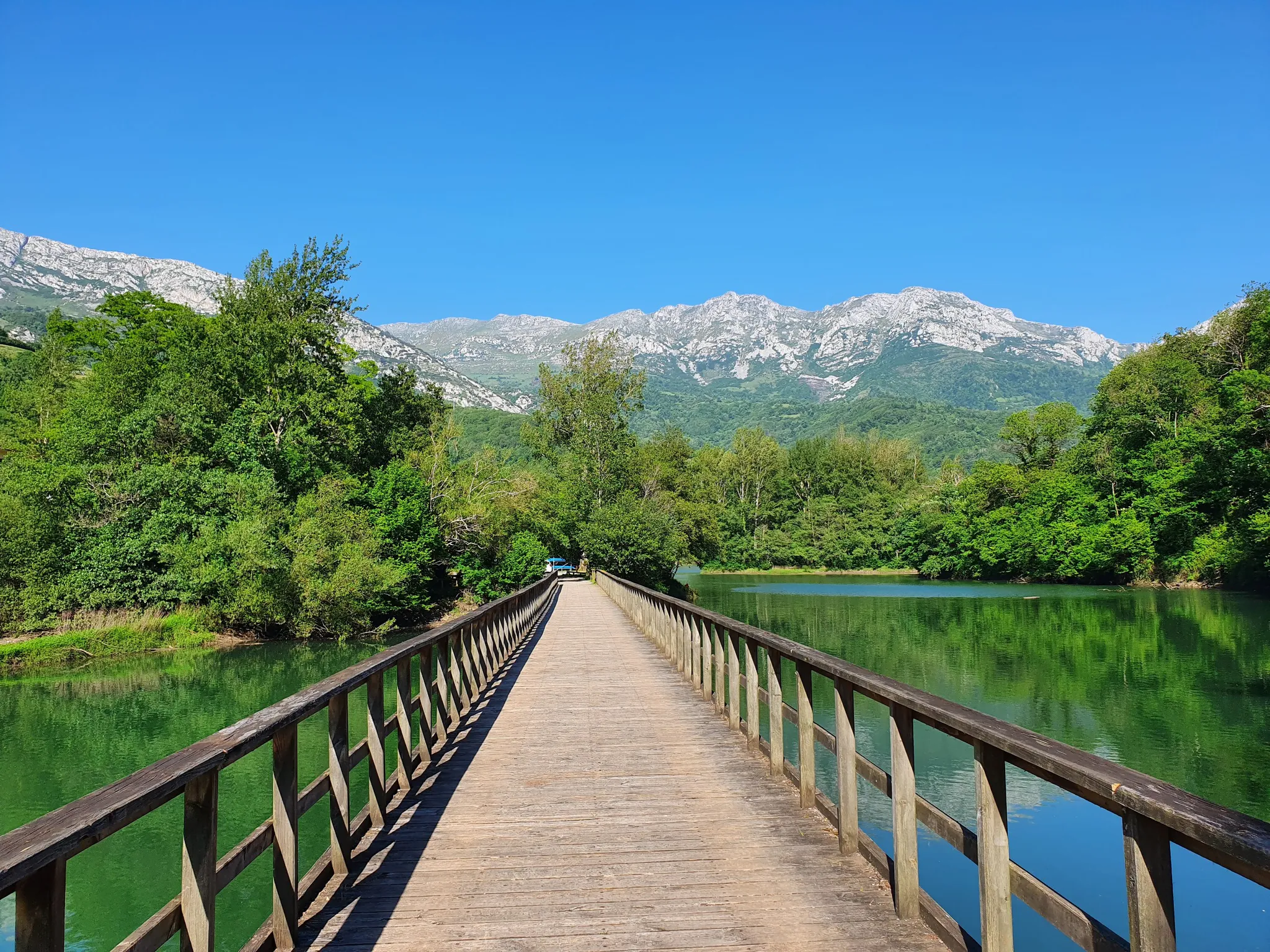
The secrets of the Cantabrian Mountains – GR 109 Asturias Interior

Traffic-free bike rides around Aller
Traffic-free bike rides around Aller
Other adventures around Aller


Tips from the Community

Those who live do not forget all the guerrillas, linking loyal support points of the resistance in their fight for peace, freedom, and a more humane and just world. This guerrilla struggle in Asturias lasted for 15 years, from October 21, 1937, to October 13, 1952.
1
0


El bosque de los Picuetos is a fayeu, at the foot of the Sierra de Peñamayor. Whenever you visit, it is magical, especially in autumn
0
0

Great spot to admire the scenery and take photos
0
0

This section, after passing Baúa, is not suitable for cycling, but it is quite easy to get through with the bike in hand, but be careful because there is a section of about 100 m with a lot of mud. However, the views are amazing.
1
0
Frequently Asked Questions
How many no-traffic gravel bike trails are available in Aller?
Currently, there are 3 challenging no-traffic gravel bike trails around Aller featured in this guide. These routes are designed to offer a robust cycling experience away from vehicular traffic.
Are there any easy or family-friendly no-traffic gravel routes in Aller?
The no-traffic gravel bike trails highlighted in this guide are all rated as difficult, featuring significant elevation gains and distances. They are best suited for experienced gravel bikers looking for a challenge. For family-friendly options, you might need to explore other guides or local resources, as these specific routes are quite demanding.
What kind of terrain can I expect on these car-free gravel bike trails?
The routes in Aller offer varied terrain, typical of mountainous regions. You can expect a mix of surfaces, including gravel paths, forest roads, and potentially some paved sections connecting the off-road segments. Given the 'difficult' rating and significant elevation, be prepared for climbs and descents that will test your fitness.
What are some notable landmarks or viewpoints along the no-traffic gravel bike routes?
While riding these trails, you'll encounter several points of interest. For instance, the route Alto de La Colladiella – Monument to the Maquis loop from Santuyano - Caudalia passes by the Monument to the Maquis. You can also find stunning vistas like the View from Pajares and the Texu la Oración Viewpoint in the broader Aller region, which might be accessible from or near these trails.
Are there any natural monuments or unique geological features to see?
Yes, the Aller region is home to several natural monuments. One notable feature is Ojo de Buey (L'Arcu de la Finiesta), Peña Mea, a distinctive geological formation. While not directly on every route, these natural wonders are part of the broader landscape you'll be cycling through.
What is the typical length and elevation gain for these car-free gravel bike trails?
The no-traffic gravel bike trails in Aller are quite substantial. For example, the Polio Lagoon – Rozamayor Recreation Area loop from Mieres del Camín is approximately 33.6 km long with over 1000 meters of elevation gain. Other routes, like the Monument to the Maquis – Alto de La Colladiella loop from Mieres del Camín, can extend up to 60 km with similar challenging ascents.
Are there any loop trails among the no-traffic gravel bike options?
Yes, all the no-traffic gravel bike routes featured in this guide are designed as loop trails. This means you will start and finish at the same point, making logistics like parking more convenient. Examples include the Polio Lagoon – Rozamayor Recreation Area loop and the Alto de La Colladiella – Monument to the Maquis loop.
What do other gravel bikers say about the no-traffic routes in Aller?
The komoot community has rated the overall experience in Aller with an average score of 3.0 out of 5 stars. While the number of reviews is currently low, users often appreciate the challenging nature and the opportunity to explore the region's rugged beauty away from traffic.
Are there any mountain peaks or viewpoints to aim for on these routes?
Absolutely. The routes often traverse areas with significant elevation, offering access to stunning mountain views. You might find yourself near highlights such as the Coto Bello Viewpoint or the Urbiés Viewpoint. The Alto de La Colladiella loop, for instance, involves significant climbing, leading to panoramic vistas.
What is the best time of year to ride these no-traffic gravel trails in Aller?
Given the mountainous terrain and the 'difficult' rating, spring and autumn generally offer the most pleasant conditions for gravel biking in Aller, with milder temperatures and beautiful scenery. Summer can be warm, and winter may bring snow or ice at higher elevations, making some routes impassable or more challenging. Always check local weather conditions before heading out.
Where can I find parking for these no-traffic gravel bike trails?
The loop trails typically start and end in towns or villages like Mieres del Camín or Santuyano - Caudalia. You should be able to find public parking facilities in these areas. It's always a good idea to check local parking regulations and availability before your trip.
Most popular attractions around Aller

Get inspired with the komoot mobile app


