The best traffic-free bike rides around Viniegra De Abajo
5.0
(1)
123
riders
12
rides
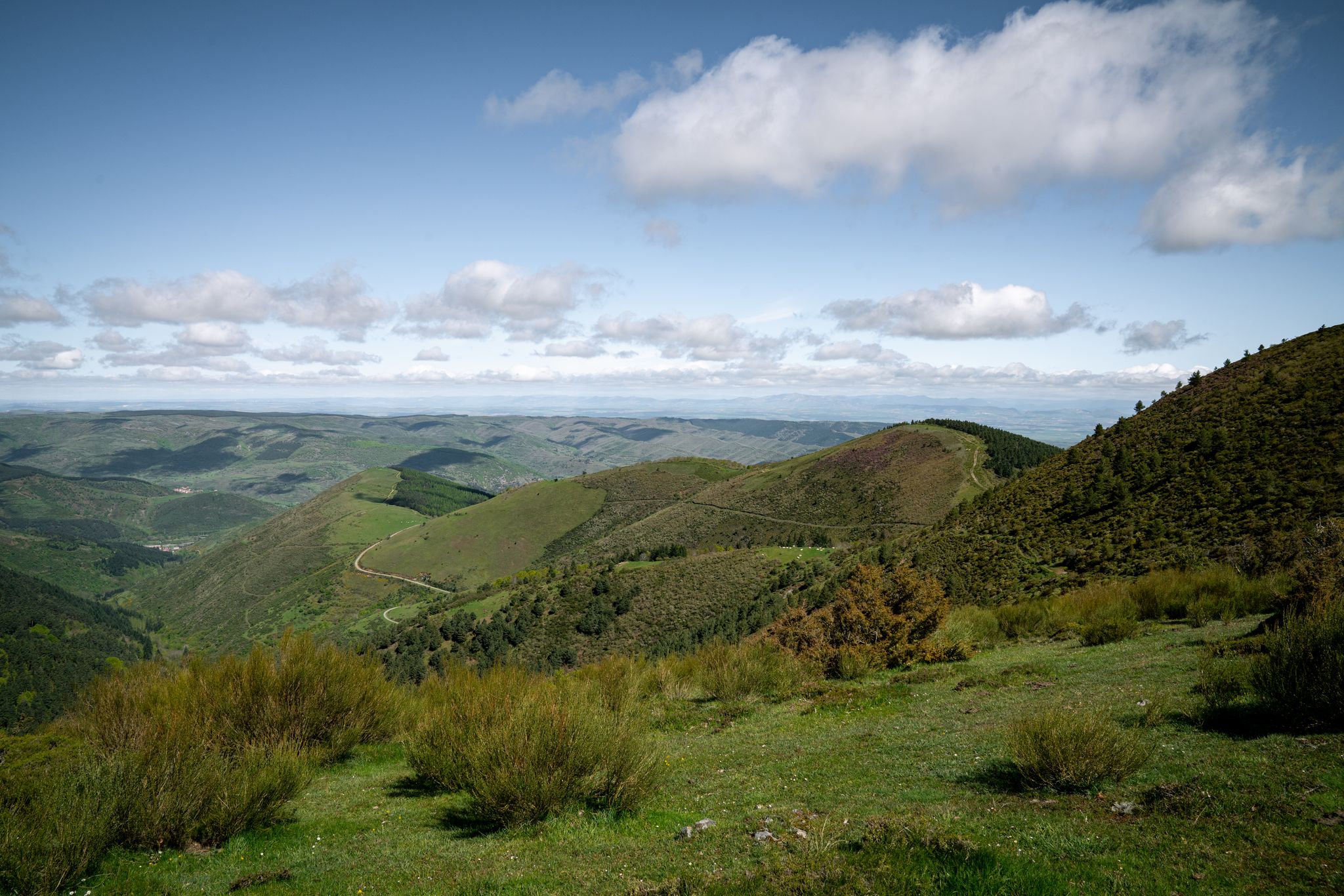
No traffic touring cycling routes around Viniegra De Abajo traverse a mountainous environment, with the Urbión river flowing through the landscape. The region offers diverse terrain, including cycleways, quiet roads, and paths with surfaces ranging from paved asphalt to gravel. Cyclists can explore forests of poplars, pines, and oaks, providing varied scenery for rides. The area's natural features and varied landscapes make it suitable for different cycling preferences.
Best no traffic touring cycling routes around Viniegra De Abajo
- The most…
Last updated: July 2, 2026
24
riders
20.8km
01:50
170m
170m
Moderate bike ride. Good fitness required. Mostly paved surfaces. Suitable for all skill levels.
15
riders
19.4km
01:48
360m
360m
Moderate bike ride. Good fitness required. Mostly paved surfaces. Suitable for all skill levels.

Sign up for free
11
riders
42.8km
04:19
880m
880m
Hard bike ride. Very good fitness required. Mostly paved surfaces. Suitable for all skill levels.
7
riders
26.1km
02:30
420m
420m
Moderate bike ride. Good fitness required. Mostly paved surfaces. Suitable for all skill levels.
9
riders
35.6km
02:49
480m
480m
Hard bike ride. Very good fitness required. Mostly paved surfaces. Suitable for all skill levels.
Get access to more routes and recommendations from other explorers.
Sign up for free
Already have an account?
Our route recommendations are based on thousands of hikes, rides, and runs completed by other people on komoot.
Start today with a free account
Your next adventure awaits.
Login or Signup
Popular around Viniegra De Abajo
Other adventures around Viniegra De Abajo

Tips from the Community

Stage 2. Duruelo de la Sierra/Soria 69 kilometers. 510 meters of elevation gain. Duruelo has hotels, restaurants, and grocery stores. It is the town where the Duero River originates at the foot of the Urbión Peaks. The Senda del Duero Nature Trail begins at Fuentes del Duero, where the river officially originates, at an altitude of 2,100 meters, a landscape of crushed granite shaped by the fierceness of the high mountains. The route leaves the town along the Senda del Duero. The posts are located at a cattle gate, and there are hiking and mountain bike trail signs in several directions. The path is also marked with the red and white stripes of the GR-14 trail. It crosses a small, inconspicuous slope on a grassy slope and descends some steps to the fantastic path that runs along the riverbank—the perfect way to start this cycle tour. The river path is about seven kilometers long, with the tricky sections at the end, where rain and flooding have stripped the road bare, requiring careful adjustment to squeeze gravel tires between the stones. There's also a short stretch of stairs that isn't suitable for cycling. The path passes over the Soria Bridge (17th century) and climbs the slopes of Mount Peña Rubia, far from the river. It's the longest and steepest climb of the cycling day. The end is impossible; the path is ridden with roots and rills from runoff, but it only takes a few minutes. Soon, the forest track appears, descending at full speed to Molinos de Duero, another iconic village of pine-forest architecture with its May pine tree in the square and a landmark for road cycling. The red markers of the Duero Path pass under the road and continue toward Vinuesa along the route of an ancient Roman road, which is quite difficult for gravel bikes due to the poor condition of the surface. The comfortable option for bicycles with panniers is the road. Vinuesa is a good place to grab a snack, a section of a branch of the Cañada Real Segoviana (Royal Segovian Trail) that reaches from the Cameros region of Rioja via the Puerto de Santa Inés. The pines of the Revinuesa Valley are magnificent; they have always been renowned for their high-quality wood and their proud, solemn bearing. For centuries, they have shaped the economic pulse of forest resources in the Pinares region.
0
0

A curious large stone, it moves but cannot be dragged.
0
0
Nice area for outdoor activities.
0
0
In one of the many visits to Covaleda, which I usually go to, I have visited this beautiful place and I contribute photos
0
0

It is interesting to see how the bridge has been restored with an intervention that respects its original construction. A wooden walkway reestablishes passage over the Duero, taking advantage of the old bridge but without altering it.
0
0
Frequently Asked Questions
How many no traffic touring cycling routes are available around Viniegra de Abajo?
There are 10 dedicated no traffic touring cycling routes around Viniegra de Abajo featured in this guide. These routes offer a variety of distances and challenges, ensuring a tranquil cycling experience away from vehicle traffic.
What is the typical difficulty of no traffic touring cycling routes in this area?
The routes around Viniegra de Abajo are generally suited for cyclists with some experience. This guide features 5 moderate and 5 difficult routes. While there are no easy routes listed, the moderate options provide a good balance of challenge and enjoyment for touring cyclists.
What kind of terrain can I expect on these no traffic cycling routes?
The region around Viniegra de Abajo offers diverse terrain, from paved asphalt to gravel paths. You'll encounter mountainous environments with varying elevation gains, as the area is nestled between the Camero Nuevo and Sierra de la Demanda mountains. The tranquility and scenic beauty are major draws, making the effort worthwhile.
What is the best time of year for no traffic touring cycling in Viniegra de Abajo?
The spring and autumn months are generally ideal for touring cycling in Viniegra de Abajo. During these seasons, the weather is typically mild, and the natural landscapes, including forests of poplars, pines, and oaks, are particularly vibrant or display beautiful autumnal colors, enhancing the scenic routes.
Are there any waterfalls along the no traffic touring cycling routes near Viniegra de Abajo?
Yes, the vicinity boasts several stunning waterfalls that can be incorporated into your cycling adventures. Notable examples include the Ojeda River Waterfall, Cueva Serena Waterfall, and Paso Peñoncito Waterfall. These make for rewarding detours or destinations on your ride.
What historical or cultural sights can I explore while cycling around Viniegra de Abajo?
Viniegra de Abajo itself is rich in history, featuring well-preserved urban architecture, including palatial 'indiano' houses and religious structures like the parish church of La Asunción and various hermitages. The region also has a deep connection to transhumance traditions, offering a glimpse into its pastoral heritage.
Are there any scenic viewpoints or natural features to look out for?
Absolutely. The mountainous environment provides dramatic landscapes. You can find stunning views from areas like the Peña Hincada Pass or the Peaks of the Demanda. The Urbión river, originating from the Picos de Urbión, also adds to the picturesque natural beauty of the area.
Are there family-friendly no traffic cycling routes suitable for beginners?
While this guide primarily features moderate to difficult routes, the region does offer quieter roads and paths that might be suitable for families with some cycling experience. For example, the Puente de los Arrieros – Duero Trail loop from Covaleda is a moderate 20.7 km route that could be manageable for active families looking for a no-traffic experience.
Can I bring my dog on these no traffic cycling routes?
Many natural trails and quiet roads in the Viniegra de Abajo area are dog-friendly, provided your dog is well-behaved and kept under control, especially around wildlife or livestock. Always ensure your dog is fit enough for the distance and terrain, and carry enough water for both of you. Specific regulations may apply in certain protected areas, so it's always good to check local signage.
Are there circular no traffic cycling routes available?
Yes, several routes in this guide are circular, allowing you to start and end in the same location without retracing your path. Examples include the Puente de los Arrieros – Medieval Bridge of Soria loop from Covaleda (19.4 km) and the more challenging Santo Domingo Bridge – Cueva Tío Melitón loop from Covaleda (38 km).
Where can I park my car when accessing these no traffic cycling routes?
Viniegra de Abajo, being a small village, typically offers street parking or designated small parking areas. For routes starting from nearby towns like Covaleda, you'll usually find parking facilities within the village centers, often near main attractions or public spaces. It's advisable to check local parking signs upon arrival.
What amenities are available in Viniegra de Abajo for cyclists?
Viniegra de Abajo, while small, offers basic amenities for visitors. You can find local cafes and restaurants to refuel after your ride. There are also accommodations available, some of which may be cyclist-friendly. For a wider range of services, nearby larger towns would be an option.
Most popular attractions around Viniegra De Abajo

Get inspired with the komoot mobile app


Explore more
Browse the best Cycling routes in other regions.
