The best walks and hikes around Markgröningen
4.4
(2341)
9,160
hikers
133
hikes
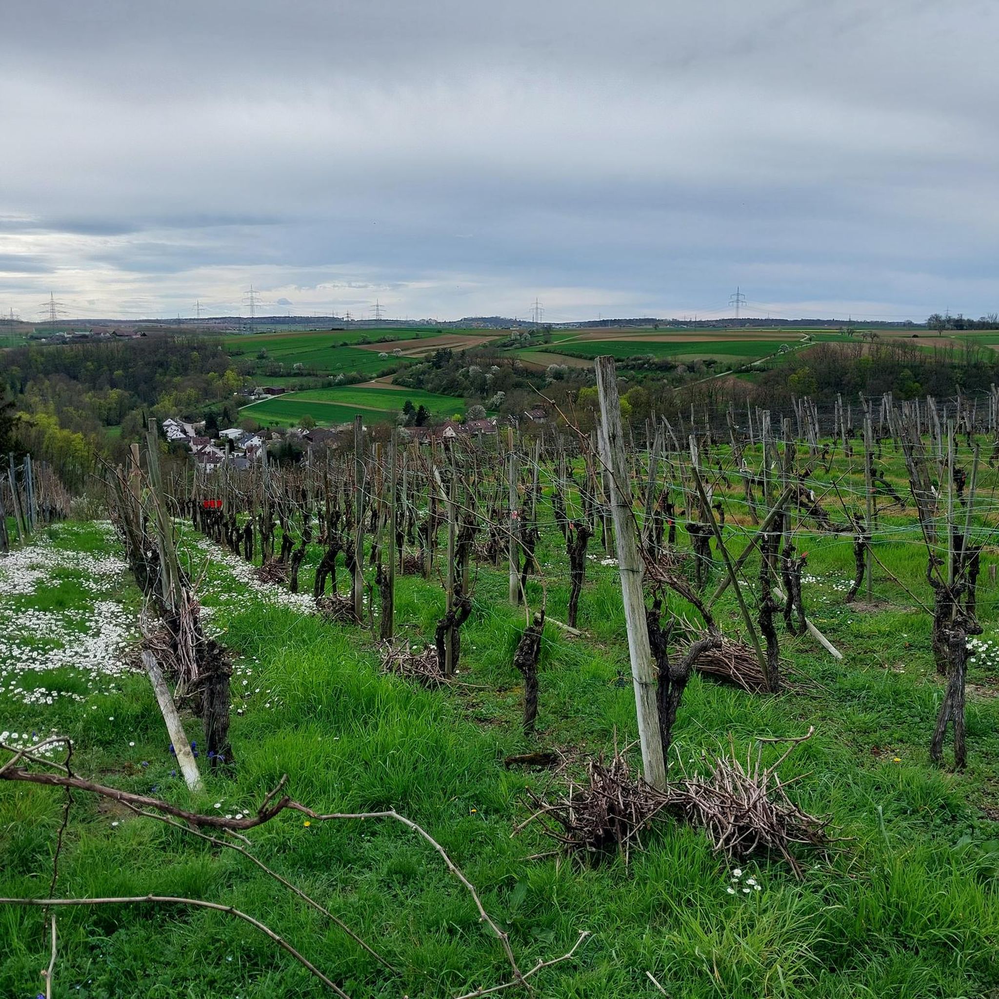
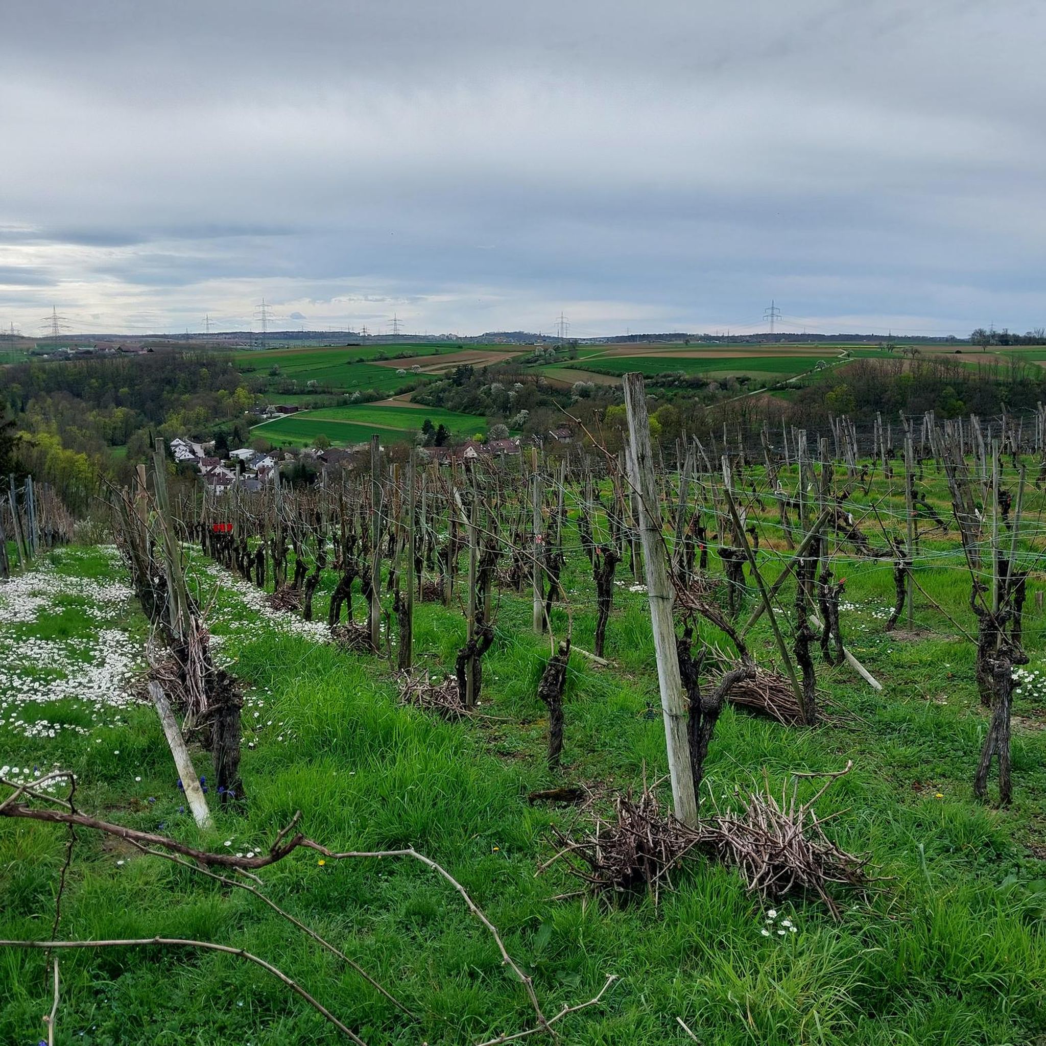
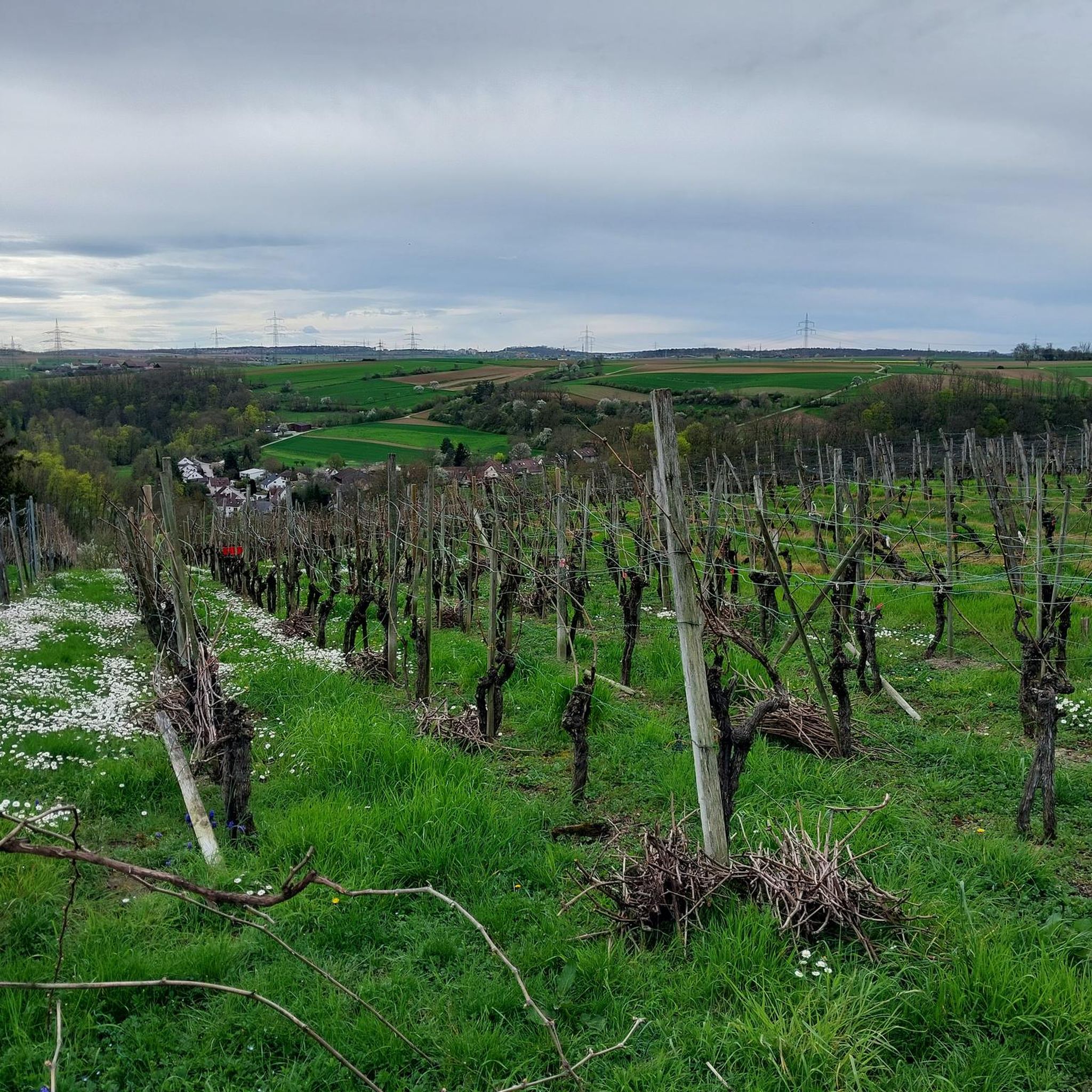
Hiking around Markgröningen offers a diverse landscape characterized by river valleys, vineyards, and forests. The region features prominent natural areas such as the Leudelsbach Valley and the Glems River, providing varied terrain for outdoor activities. Historical sites like the Hohenasperg Fortress and the Kleinaspergle Burial Mound are often visible from or incorporated into hiking trails. Orchard meadows and lush fields further contribute to the scenic environment.
Best hiking trails around Markgröningen
- The most popular hiking route is Leudelsbach Valley —…
Last updated: August 27, 2026
4.7
(981)
2,929
hikers
Moderate hike. Good fitness required. Mostly accessible paths. Sure-footedness required.
4.8
(185)
601
hikers
Moderate hike. Good fitness required. Mostly accessible paths. Sure-footedness required.

Sign up for free
4.5
(94)
357
hikers
10.3km
02:46
120m
120m
Moderate hike. Good fitness required. Easily-accessible paths. Suitable for all skill levels.
4.6
(59)
214
hikers
Moderate hike. Good fitness required. Easily-accessible paths. Suitable for all skill levels.
4.7
(59)
193
hikers
Moderate hike. Good fitness required. Easily-accessible paths. Suitable for all skill levels.
Get access to more routes and recommendations from other explorers.
Sign up for free
Already have an account?
Our route recommendations are based on thousands of hikes, rides, and runs completed by other people on komoot.
Start today with a free account
Your next adventure awaits.
Login or Signup
Tips from the Community


The bridge is situated in a beautiful section of the Glems Valley, just before the river flows into Talhausen. In this area, the Glems is bordered on both sides by steep climbs. The Schlüsselberg hill is particularly impressive on the right bank.
0
0

View of the Altsachsenheim castle ruins from the pedestrian and cycle path along the Enz river.
5
0
Good view from the pedestrian and cycle path along the Enz river of the Altsachsenheim castle ruins perched above the Enz riverbank.
4
0

In the Leudelsbaach landscape conservation area
0
1

Hohenasperg – Schubart Monument – in the background, a tower of the Asperg waterworks Christian Friedrich Daniel Schubart (1739–1791) was a poet, organist, composer, and journalist, and a fierce critic of the political conditions of his time. He was imprisoned for ten years without trial by Duke Karl Eugen on Hohenasperg. The “Schubart Monument” was created in 1983 by the stonemason Thomas Lorenz from Bietigheim.
1
0
Bench with a view of Asperg
0
0
Frequently Asked Questions
How many hiking trails are available in Markgröningen?
Markgröningen offers a wide variety of hiking routes, with over 100 trails available to explore. These range from easy strolls to more challenging moderate paths, ensuring options for different fitness levels.
Are there easy hiking options suitable for beginners or casual walkers?
Yes, Markgröningen has a good selection of easy trails, with over 60 routes classified as easy. These paths are generally well-suited for beginners or those looking for a relaxed walk through the scenic landscape.
What kind of landscapes can I expect to see while hiking around Markgröningen?
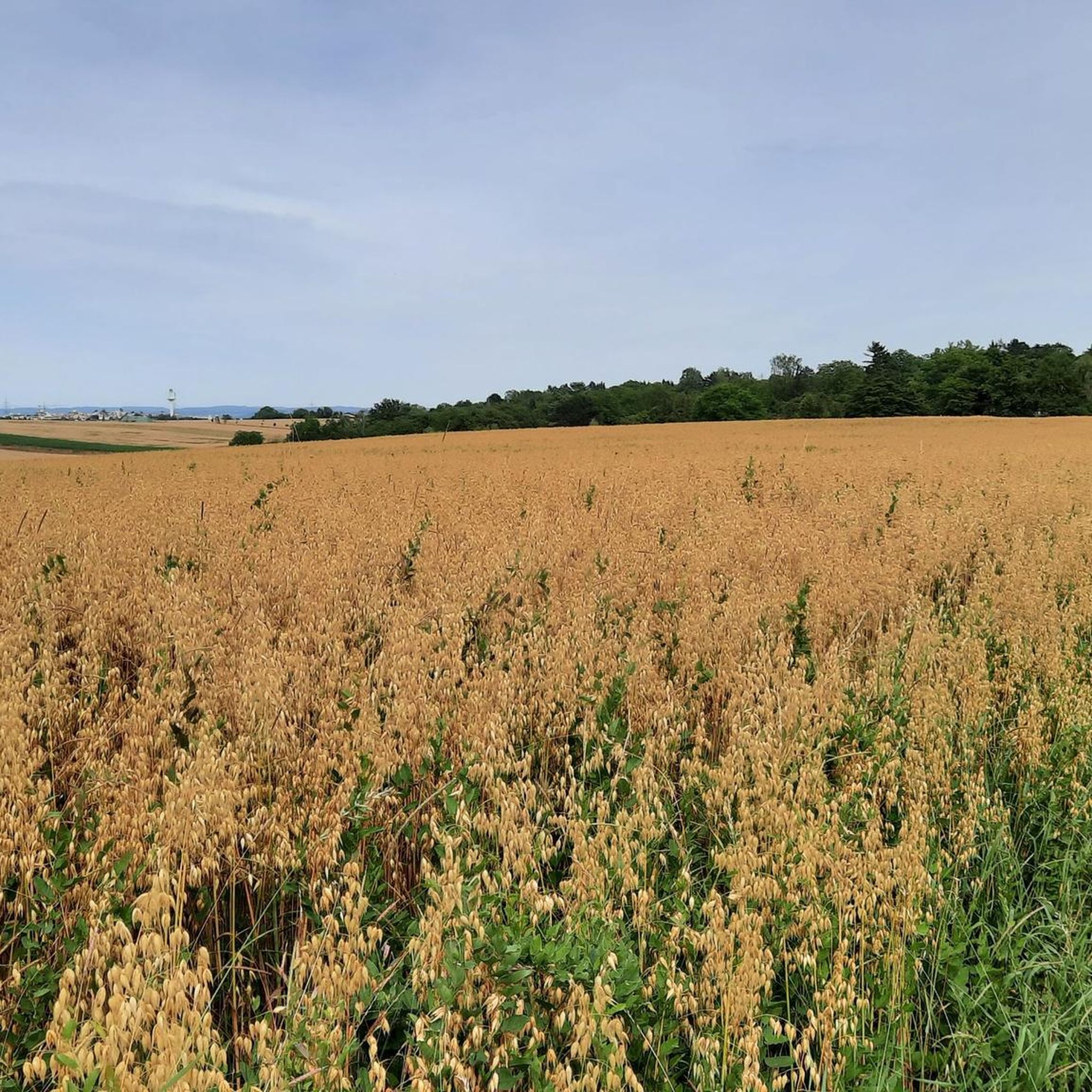
The region around Markgröningen is characterized by diverse landscapes, including picturesque river valleys like the Leudelsbach Valley and the Glems River valley, expansive vineyards, and peaceful forests. You'll also encounter idyllic orchard meadows and lush fields, providing a varied and beautiful backdrop for your hikes.
Are there any family-friendly hiking trails in Markgröningen?
Yes, for families, the Waldwichtel Adventure Trail in the Rotenackerwald forest is highly recommended. This approximately 3 km circular route features 20 interactive stations, making it an engaging experience for children.
Can I bring my dog on the hiking trails in Markgröningen?
Many of the hiking trails in Markgröningen are dog-friendly, allowing you to enjoy the natural beauty with your canine companion. It's always advisable to keep dogs on a leash, especially in nature reserves or near livestock, and to respect local regulations.
Are there any circular walks available in the area?
Yes, many of the popular routes around Markgröningen are circular walks. For example, the Leudelsbach Valley — Willow Path – Leudelsbach Valley loop from Markgröningen and the Glems River in the Glems Valley – Leudelsbach Valley — Willow Path loop from Markgröningen are excellent options that bring you back to your starting point.
What historical sites or landmarks can I see along the hiking trails?
Several trails offer views of or pass by significant historical sites. The prominent Hohenasperg Fortress is often visible from various routes, and the Bench by the Stream – Kleinaspergle Burial Mound loop from Markgröningen takes you past the ancient Kleinaspergle Burial Mound. You can also find educational wine trails through the vineyards.
What do other hikers enjoy most about hiking in Markgröningen?
The hiking experience in Markgröningen is highly rated by the komoot community, with an average score of 4.4 stars from over 1700 reviews. Hikers often praise the diverse landscapes, including the picturesque river valleys and vineyards, as well as the well-maintained paths and the opportunity to combine nature with historical sights.
Are there any viewpoints or scenic spots to look out for?
Absolutely. The region offers several scenic viewpoints, particularly over the vineyards and towards the Hohenasperg Fortress. The Glems River in the Glems Valley – View of Talhausen Vineyards loop from Markgröningen, for instance, provides lovely vistas of the Talhausen Vineyards.
Is there public transport access to the hiking areas around Markgröningen?
Markgröningen is integrated into the local public transport network, making it possible to reach various starting points for hikes without a car. It's recommended to check local bus schedules for specific routes and access points.
Where can I find parking for hiking trails in Markgröningen?
Parking is generally available at common starting points for hiking trails in and around Markgröningen. Specific parking information can often be found on local municipality websites or by checking the details of individual routes on komoot.
What is the best time of year to go hiking in Markgröningen?
Markgröningen offers enjoyable hiking experiences throughout much of the year. Spring brings blooming orchards and fresh greenery, while autumn showcases vibrant fall foliage in the vineyards and forests. Summer is ideal for longer days, and even mild winter days can be pleasant for a crisp walk.
Most popular routes around Markgröningen
Most popular attractions around Markgröningen

Get inspired with the komoot mobile app


Explore more
Browse the best Hikes in other regions.
