The best road cycling routes around Markgrafneusiedl
4.5
(80)
1,686
riders
117
rides
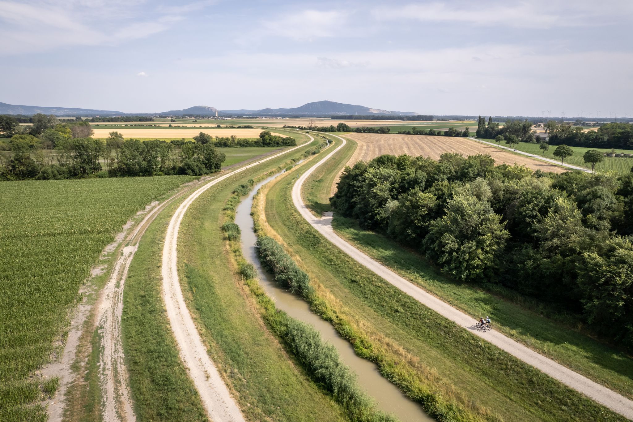
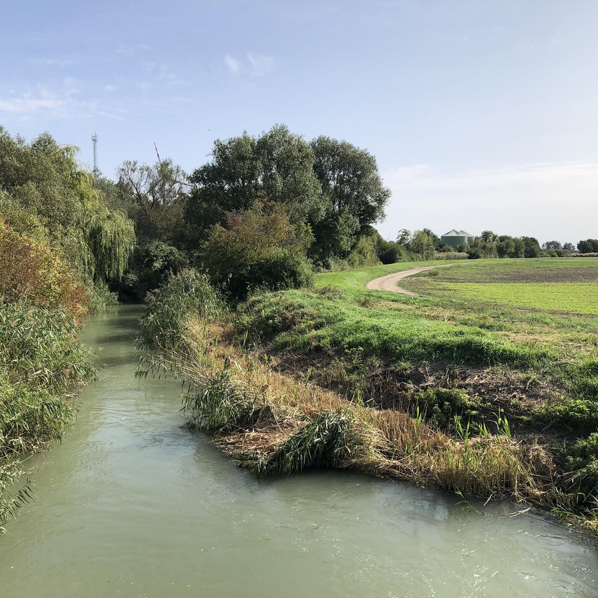
Road cycling around Markgrafneusiedl offers routes through the flat, expansive Marchfeld region of Lower Austria, characterized by fields and meadows. The area provides well-maintained cycle paths and connections towards the Danube Island and the Weinviertel region, which features gentle hills and vineyards. While generally flat, some routes offer elevated views from the foothills of the Kleiner Wagram, where the Markgrafneusiedl ruins are situated. The landscape is suitable for varied road cycling experiences, from leisurely rides to longer excursions.
Best road…
Last updated: October 5, 2026
5.0
(1)
15
riders
Easy road ride. Great for any fitness level. Mostly well-paved surfaces and easy to ride.
15
riders
Easy road ride. Great for any fitness level. Mostly well-paved surfaces and easy to ride.

11
riders
61.0km
02:26
120m
120m
Moderate road ride. Good fitness required. Mostly well-paved surfaces and easy to ride.
3.0
(1)
14
riders
53.1km
02:05
80m
80m
Moderate road ride. Good fitness required. Mostly well-paved surfaces and easy to ride.
4.0
(1)
14
riders
56.3km
02:22
330m
330m
Moderate road ride. Good fitness required. Mostly well-paved surfaces and easy to ride.
Get access to more routes and recommendations from other explorers.
Already have an account?
Our route recommendations are based on thousands of hikes, rides, and runs completed by other people on komoot.
Start today with a free account
Your next adventure awaits.

Other adventures around Markgrafneusiedl

Tips from the Community

The church was consecrated in 1854 and is a listed building.
0
0

Around 1965, extensive gravel deposits were found in wide areas around the Danube. A gravel pit was excavated at the border with Breitenlee. Groundwater was soon reached, and thus a pond was created. Around the mid-1970s, the gravel pit reached its maximum size between Spargelfeldstraße, Bibernellweg, Ziegelhofstraße, and an adjacent sports field.
3
0


What a huge piece the door is I would have loved to see
0
0

This massive, repeatedly altered sacred building, with its dominant early Gothic choir from the third quarter of the 13th century, was originally surrounded by a cemetery. It is located in the town center and is dedicated to St. Margaret. The church was conceived after 1260 as a large, three-aisled parish church. After severe damage during the First Austrian-Turkic War in 1529 and 1634 (the Swedish War), only the choir remained in use as a church. Under Prince Karl Pálffy, the nave, considerably smaller than the choir, was built in 1789/90. The two-story west tower with a steep spire was added in 1855.
0
0

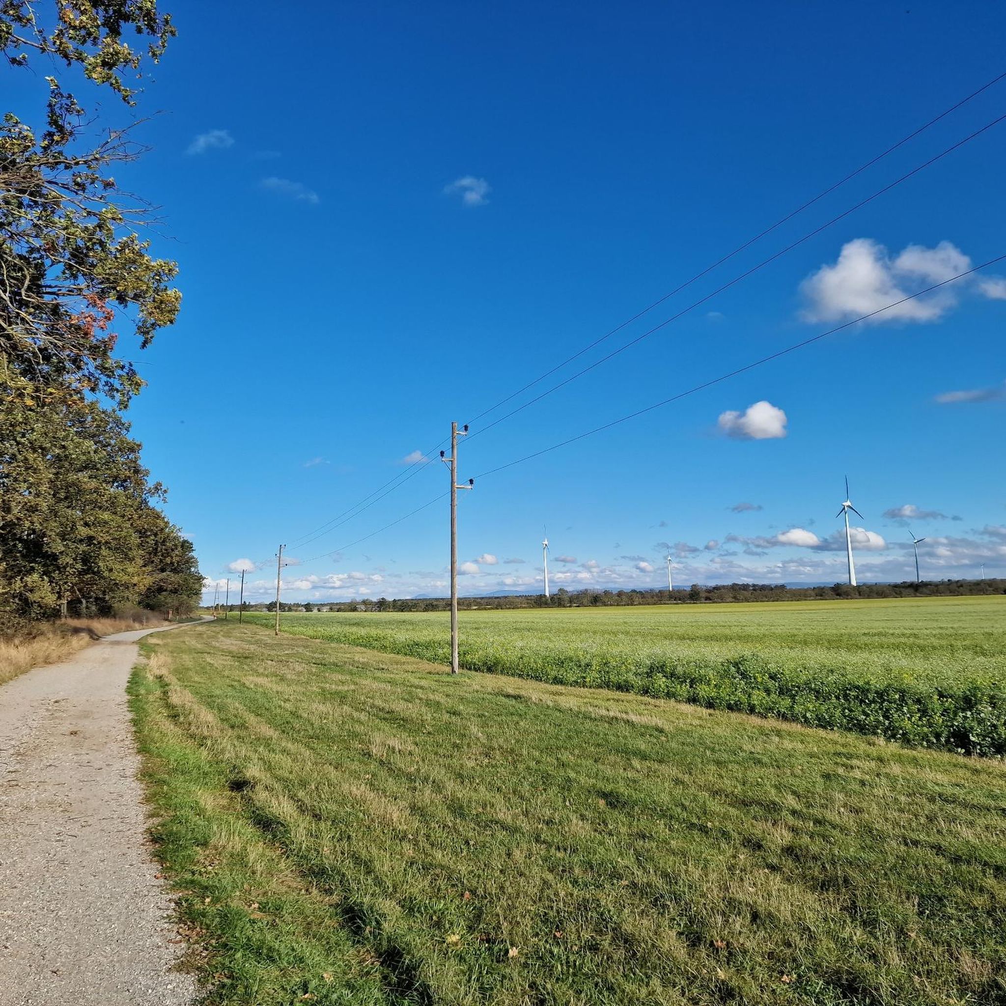
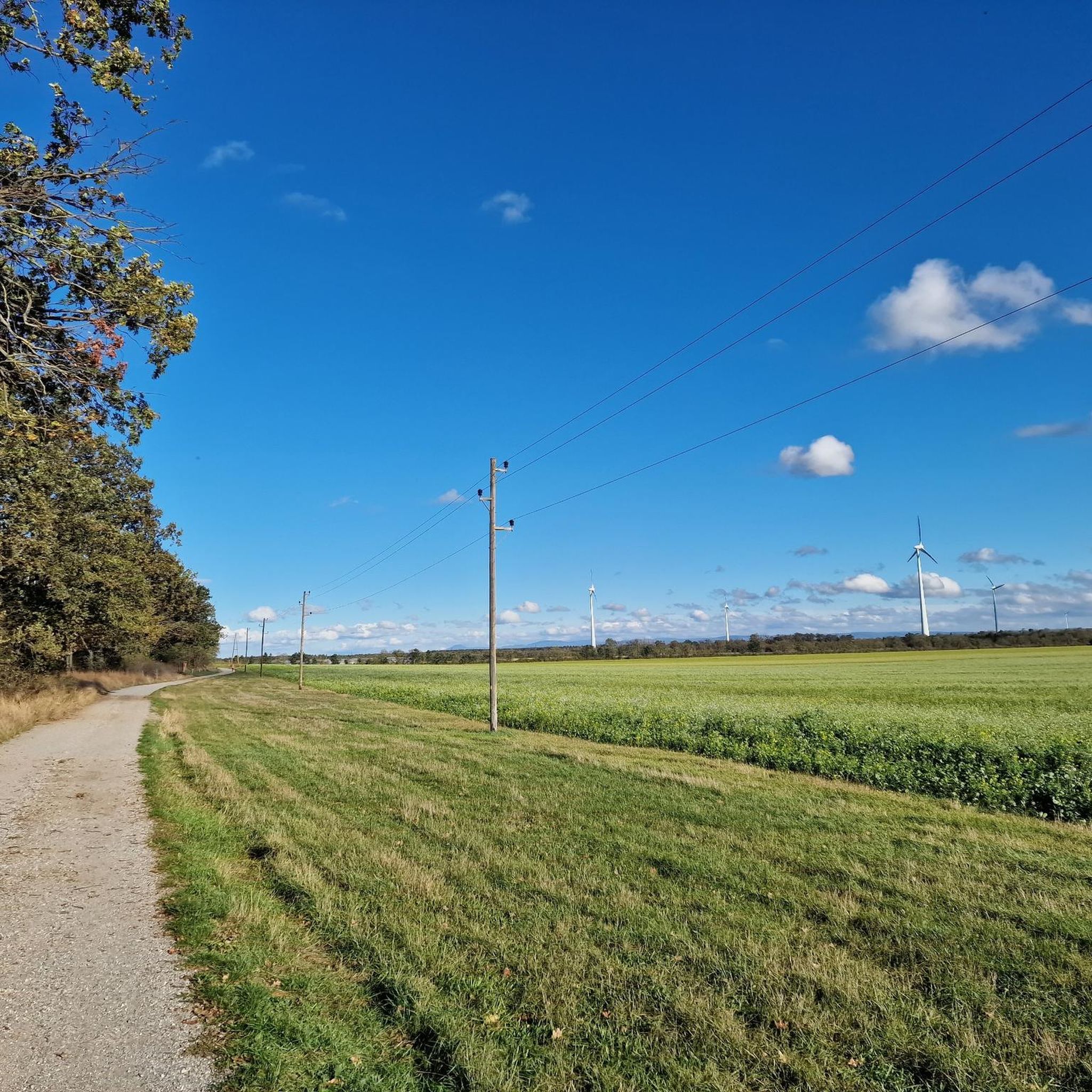
Partially freshly asphalted cycle path.
0
0

Frequently Asked Questions
What kind of terrain can I expect when road cycling around Markgrafneusiedl?
The Markgrafneusiedl area, situated in the Marchfeld region of Lower Austria, is characterized by its flat, expansive landscapes of fields and meadows. While generally flat, some routes offer gentle hills and elevated views, particularly from the foothills of the Kleiner Wagram where the Markgrafneusiedl ruins are located. You'll find well-maintained cycle paths suitable for varied road cycling experiences, from leisurely rides to longer excursions.
How many road cycling routes are there in Markgrafneusiedl?
There are over 110 road cycling routes available around Markgrafneusiedl, catering to various skill levels. You can find options ranging from easy, flat rides to more challenging routes with some elevation gain.
What do other road cyclists enjoy most about the routes in Markgrafneusiedl?
The road cycling routes in Markgrafneusiedl are highly rated by the komoot community, with an average score of 4.3 stars from over 50 reviews. Cyclists often praise the open landscapes of the Marchfeld, the well-maintained paths, and the variety of routes that connect to areas like the Danube Island and the Weinviertel region.
Are there any family-friendly road cycling routes in the Markgrafneusiedl area?
Yes, the flat and well-maintained cycle paths of the Marchfeld region make it ideal for family-friendly road cycling. Many routes offer easy gradients and scenic views, such as the Hirschstetten Swimming Pond – Hirschstetten Bathing Pond loop from Parbasdorf, which is an easy 19.9-mile (32.1 km) path offering views of local ponds.
What are some notable landmarks or attractions I can see along the road cycling routes?
While cycling, you can explore several interesting sites. The historic Markgrafneusiedl ruins, originating from the 13th century, offer elevated views. You might also pass by the stately parish church of the Assumption of the Virgin Mary. For natural beauty, consider routes near Seestadt Aspern Lake or the tranquil Himmelteich Natural Monument.
What is the best time of year for road cycling in Markgrafneusiedl?
The mild climate during much of the year makes Markgrafneusiedl appealing for road cycling. Spring and autumn generally offer pleasant temperatures and beautiful scenery, while summer provides longer daylight hours for extended excursions. Always check local weather conditions before heading out.
Where can I find parking for road cycling routes in Markgrafneusiedl?
Many routes around Markgrafneusiedl start from various points in and around the village. Specific parking information can often be found on individual route pages on komoot. Generally, you'll find suitable parking near starting points in towns like Strasshof or Parbasdorf, which serve as common access points for the Marchfeld's cycling network.
Can I reach Markgrafneusiedl and its cycling routes by public transport with my bicycle?
Markgrafneusiedl is located approximately half an hour from Vienna, and public transport options are available. It is generally possible to transport bicycles on regional trains in Lower Austria, but it's advisable to check the specific train operator's rules and any potential peak hour restrictions for bicycle carriage before planning your journey.
Are there any challenging road cycling routes near Markgrafneusiedl?
While the Marchfeld is largely flat, some routes incorporate gentle hills and longer distances to provide a more challenging experience. For example, the Bockfließ Station – Kalvarienberg Matzen loop from Helmahof offers a moderate challenge with over 300 meters of elevation gain over 55.8 km.
Are there any circular road cycling routes available?
Yes, many of the road cycling routes around Markgrafneusiedl are designed as loops, allowing you to start and end at the same point. An example is the Flugfeldstraße Strasshof – Schönkirchner Gate Columns loop from Strasshof, a moderate 55.2 km route.
Are there cafes or restaurants along the road cycling routes in Markgrafneusiedl?
The towns and villages within the Marchfeld region, including Markgrafneusiedl and nearby communities, offer various cafes, pubs, and restaurants where cyclists can stop for refreshments. While specific establishments vary by route, you'll generally find options to refuel and relax in the larger settlements along your ride.
Can I bring my dog on road cycling routes in Markgrafneusiedl?
Road cycling routes are generally designed for speed and smooth surfaces, which may not be suitable for dogs running alongside. If you wish to bring your dog, consider using a specialized bicycle trailer designed for pets. Always ensure your dog's safety and comfort, and be mindful of local regulations regarding pets on cycle paths.
Most popular attractions around Markgrafneusiedl

Get inspired with the komoot mobile app


Explore more
Browse the best Road cycling routes in other regions.
