The best traffic-free bike rides around Calamocha
4.3
(3)
220
riders
3
rides
No traffic road cycling routes around Calamocha are characterized by a diverse landscape, ranging from the extensive plain of the Jiloca River to areas with notable elevation changes. The region offers a mix of open fields and riverine environments, providing varied scenery for cyclists. This terrain includes both gentle gradients along the riverbanks and more challenging ascents into higher ground, catering to different cycling preferences. The area also features unique geological formations, such as the karst landscape near Aguallueve de…
Last updated: May 20, 2026
9
riders
82.0km
03:58
1,020m
1,020m
Hard road ride. Very good fitness required. Some segments of this route may be unpaved and difficult to ride.
6
riders
34.4km
01:34
280m
280m
Easy road ride. Great for any fitness level. Mostly well-paved surfaces and easy to ride.
Our route recommendations are based on thousands of hikes, rides, and runs completed by other people on komoot.
Start today with a free account
Your next adventure awaits.
Login or Signup


Other adventures around Calamocha

Tips from the Community

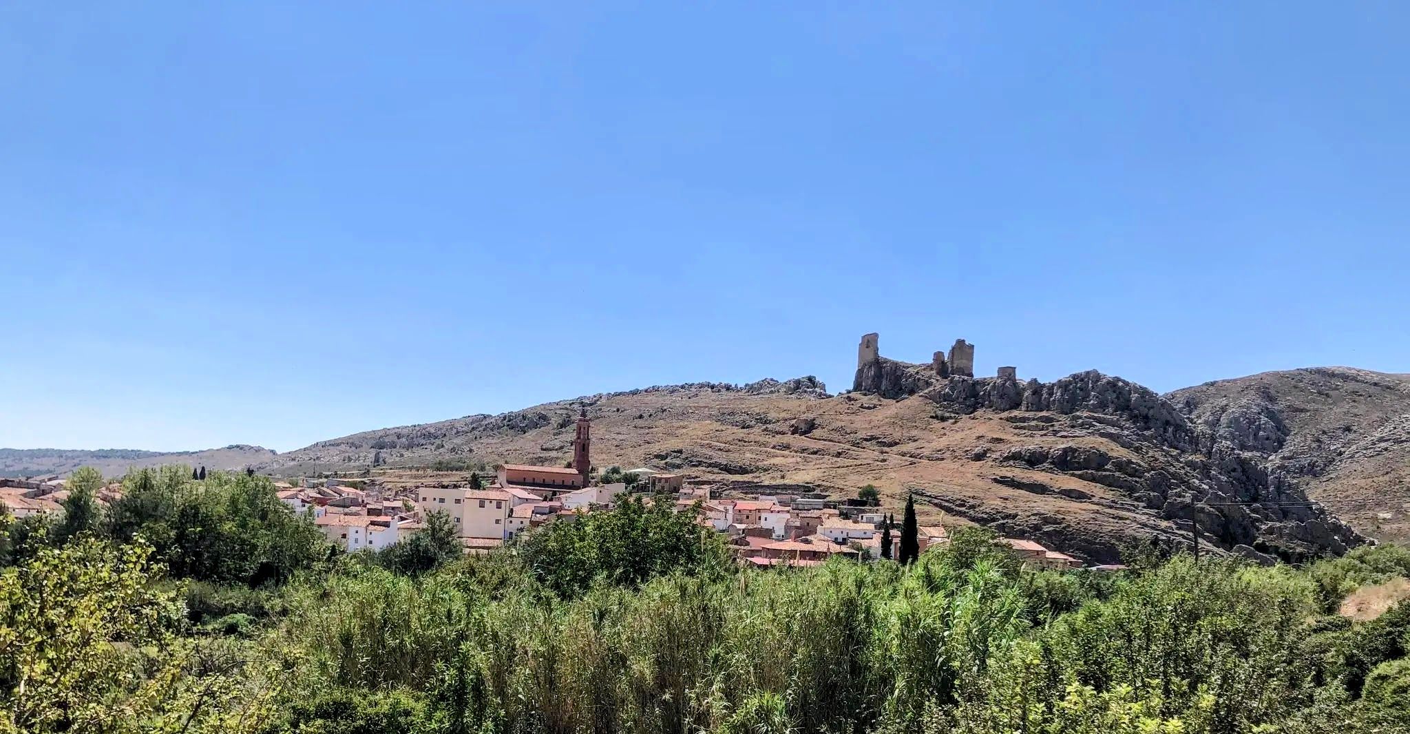
Monforte de Moyuela is a small village in the Jiloca region of Teruel, located at an altitude of over 1,000 meters and surrounded by the Oriche mountain range. It preserves remains of its 12th-century castle and a Roman dam, as well as several chapels and the parish church of La Asunción, rebuilt in the 19th century after the Carlist Wars. The town is part of the Route of El Cid, which makes it even more attractive for those cycling along historic, less-traveled paths. The terrain is mountainous, and it's advisable to bring good equipment and plenty of water, as services are limited in the area.
1
0

Images are there for a reason...take a photo and find out what they mean to you
0
0

A city of transit since ancient times, Calamocha stands in the middle of the extensive plain of the Jiloca, on the right bank of the river. Its excellent geographical situation led to its being an important fortified enclave in the past. In fact, it was the city of El Cid passing through on his way to Valencian lands.
9
0

Another of the idyllic places in the province of Teruel that bike lovers should know. The Port of Rudilla, located between the towns of Fonfría and Rudilla, offers magnificent views of deep Teruel and nearby, trenches from the civil war were found.
1
0

Located on the banks of the Jiloca River, the town of Calamocha has an interesting history and places of interest that are worth visiting, such as the Roman bridge over the river. It knew how to be part of the Albarracín taifa until King Alfonso I conquered these territories in the 12th century.
4
0

Mountain pass that starts from Hesca del Común and circulates along 13.5 km at a percentage of less than four percent. There is a difference in level of 461 meters and where it separates into different sections, specifically three. In between and two breaks appear.
0
0
The town is located in the Iberian System, next to the river Cámaras. Belonging to the region of Jiloca. It is located near the Sierra de Oriche.
0
0
Calamocha is a town located about 70 km from Teruel, within the administrative area of Jiloca. The Iglesia Parroquial Santa María la Mayor, the Puente Romano and the Palacio de los Valero de Bernabé appear as important historical points.
0
0
Frequently Asked Questions
How many no-traffic road cycling routes are available around Calamocha?
Komoot currently features 3 dedicated no-traffic road cycling routes around Calamocha, ranging from easy to difficult. However, the wider region is known for its extensive cycling network, with at least 29 cycle routes, many of which offer low-traffic conditions ideal for road cyclists.
What kind of terrain and elevation can I expect on these routes?
The routes around Calamocha offer varied terrain. You'll find options like the challenging Puerto de Rudilla – Puerto de Rudilla loop from Cuencabuena, which features over 1000 meters of elevation gain over 82 km. Other routes, such as the El Poyo del Cid – Calamocha loop from Calamocha-Nueva, are easier with less ascent, making them suitable for a more relaxed ride. The region is known for significant elevation changes, providing both demanding and rewarding experiences.
Are there any easy, no-traffic road cycling routes suitable for beginners or families?
Yes, for those seeking an easier ride, the El Poyo del Cid – Calamocha loop from Calamocha-Nueva is classified as easy. It covers about 34.5 km with a manageable 273 meters of elevation gain, offering a pleasant no-traffic experience. While not specifically designated as 'family-friendly' in the data, its lower difficulty makes it a good option for less experienced riders.
What natural features or landmarks can I see along the no-traffic road cycling routes?
The routes often pass through picturesque landscapes, including the Jiloca River plain. A notable natural attraction accessible from some routes is the unique Aguallueve de Anento, a spectacular limestone formation with continuously falling water. You might also encounter historical elements like the Roman bridge of Luco de Jiloca.
What is the best time of year for road cycling in Calamocha?
Based on the region's characteristics, spring and autumn are generally ideal for road cycling in Calamocha. The Jiloca River banks are particularly beautiful in autumn. These seasons offer pleasant temperatures, avoiding the intense heat of summer and the colder conditions of winter, making for more comfortable rides.
Are there any circular no-traffic road cycling routes?
Yes, all three featured no-traffic road cycling routes are circular. You can enjoy loops such as the Puerto de Rudilla – Puerto de Rudilla loop from Cuencabuena, the El Poyo del Cid – Calamocha loop from Calamocha-Nueva, and the Báguena – Anento Castle loop from Burbáguena, allowing you to start and finish at the same point.
What do other cyclists say about road cycling in Calamocha?
The komoot community highly rates the cycling experiences in Calamocha, with an average score of 5.0 stars. Cyclists often praise the diverse landscapes and the rewarding terrain, which caters to various skill levels, from challenging climbs to more moderate rides.
Are there any historical sites or towns to explore along the routes?
Yes, the region is rich in history. Calamocha itself is a significant settlement (Calamocha), and you might pass through or near other interesting towns like Monreal del Campo. The area is also part of the historic Camino del Cid route, offering a glimpse into historical landscapes.
What is the longest no-traffic road cycling route available?
The longest no-traffic road cycling route featured is the Puerto de Rudilla – Puerto de Rudilla loop from Cuencabuena, which spans approximately 82 km and includes over 1000 meters of elevation gain, making it a challenging and rewarding ride.
Are there any moderate difficulty no-traffic road cycling routes?
Yes, the Báguena – Anento Castle loop from Burbáguena is a moderate route, covering about 31.9 km with 371 meters of elevation gain. This route offers a good balance for cyclists looking for a bit more challenge than an easy ride without the intensity of a difficult one.
Most popular attractions around Calamocha

Get inspired with the komoot mobile app


Explore more
Browse the best Road cycling routes in other regions.
