The best dog-friendly hikes and walks in North East England
4.5
(13625)
121,416
hikers
712
hikes
Dog friendly hiking trails in North East England traverse a landscape characterized by diverse natural features, including dramatic coastlines, rolling hills, and ancient woodlands. The region encompasses significant areas such as Northumberland National Park and the North Pennines Area of Outstanding Natural Beauty. Hikers can explore varied terrains, from expansive moorlands and deep dales to rugged coastal paths and dense forests. This blend of natural beauty and historical sites provides a wide array of experiences for those seeking dog friendly walks.
Best dog friendly hiking trails in North East England
- The most popular dog friendly hiking route is Three Becks Walk loop in Hamsterley Forest — North Pennines, a 5.0 miles (8.0 km) trail that takes 2 hours 17 minutes to complete. This moderate route offers a scenic journey through the woodlands of Hamsterley Forest.
- Another top favourite among local hikers is Around Derwent Reservoir from Pow Hill Country Park, a moderate 9.4 miles (15.1 km) path. This route provides expansive views around Derwent Reservoir, suitable for longer dog walks.
- Local hikers also love the Blanchland Geotrail, a 3.5 miles (5.7 km) trail leading through the historic village of Blanchland and its surrounding geological features, often completed in about 1 hour 38 minutes.
- Hiking in North East England is defined by coastal paths, rolling hills, and ancient woodlands. The region's network of dog friendly trails offers options for different ability levels, from easy strolls to more challenging routes.
- The routes in North East England are highly rated by the komoot community with an average score of 4.5 stars from more than 11,700 reviews. More than 114,000 hikers have used komoot to explore North East England's varied terrain.
Last updated: October 5, 2026
4.7
(39)
399
hikers
8.01km
02:17
190m
190m
The Three Becks Walk loop in Hamsterley Forest offers a moderate hiking experience, covering 5.0 miles (8.0 km) with 624 feet (190 metres) of elevation gain. You can expect to complete this varied route in about 2 hours and 17 minutes. As you hike, you will wind through beautiful mixed woodlands of pines, larches, beech, and oak, following the vigorous, peat-stained Bedburn Beck. Keep an eye out for the unique Green Man sculpture along the forest drive, depicting the faces of this mythical forest dweller.
While generally accessible, some sections of the trail are narrow, rougher, and feature steeper ascents and descents, requiring good fitness and sure-footedness. The terrain includes gravel paths, natural surfaces, and stony forest paths with knotty conifer roots, which can become mucky depending on the weather. The route is well-waymarked with white arrows on an orange background, but some hikers recommend carrying a map from the visitor center due to occasional inconsistent signage. Autumn is a particularly stunning time to visit, as the beech and birch trees display golden and yellow hues.
This trail is considered the longest and most rewarding of the Bedburn Walks within Hamsterley Forest, a vast 2,000-hectare woodland. You will pass the ruins of Metcalf's House, an old coaching inn with stables, situated on a historic drover's road. The forest is rich in biodiversity, offering opportunities to spot wildlife such as roe deer, adders, and salmon, and observe wood ant nests. The route also crosses two roads with vehicular access, adding to its varied character.
3.8
(41)
179
hikers
15.1km
03:58
120m
120m
Embark on a moderate hike around Derwent Reservoir from Pow Hill Country Park, a route spanning 9.4 miles (15.1 km) with 406 feet (124 metres) of elevation gain, typically completed in about 3 hours and 58 minutes. You will enjoy splendid views across the expansive Derwent Reservoir, one of England's largest inland waters. The trail guides you through attractive heathland adorned with wildflowers like heather, foxgloves, and dog violet. Expect well-maintained paths, including sections of compacted gravel, asphalt, unpaved, and paved surfaces, making for generally easy walking.
This trail starts conveniently from Pow Hill Country Park, offering accessible facilities for visitors. A multi-user path extends along the south shore and continues around the north shore, providing a smooth experience for many. If you require additional assistance, an all-terrain mobility Tramper is available on weekends, making parts of the route more accessible. Plan your visit to take advantage of these amenities and ensure a comfortable hiking experience.
One of the most notable features of this route is the opportunity to cross the impressive Derwent Dam, famous as a practice site for the RAF's 617 Squadron, the

4.8
(46)
220
hikers
5.67km
01:38
140m
140m
Embark on the Blanchland Geotrail, an easy hike covering 3.5 miles (5.7 km) with an elevation gain of 458 feet (139 metres). This route takes about 1 hour and 38 minutes to complete, offering a peaceful journey through the North Pennines. You will experience expansive views of heather-clad moors and green fields, with serene stretches alongside the River Derwent. The trail also passes by the historic Shildon Engine House Ruins, providing a glimpse into the area's past.
When planning your visit, be aware that the trail primarily follows well-made tracks, minor roads, and public footpaths. While generally easy, you should be prepared for a sustained but gentle climb at the beginning of your hike. There is also a moderately steep descent towards the end of the route. Strong shoes or boots are recommended, as some sections might be boggy, especially after rain.
This trail is a fantastic way to explore the unique geology and rich history of the North Pennines, which is recognized as a UNESCO Global Geopark. It highlights the region's ancient geological formations and its significant mining heritage. You can also take time to explore the charming village of Blanchland itself, known for its cobbled streets and cottages built from the remains of a historic abbey.
4.4
(21)
89
hikers
14.7km
03:58
160m
160m
Embark on a difficult hiking adventure around Cow Green Reservoir & Cauldron Snout, covering 9.2 miles (14.7 km) with an elevation gain of 530 feet (162 metres). This route typically takes around 3 hours and 57 minutes to complete. You will experience a wild, remote landscape where vast moors meet dramatic geological features, with the trail leading you along the reservoir before reaching the impressive Cauldron Snout waterfall.
Before you head out, be aware that the terrain can be challenging, especially near Cauldron Snout, where you might encounter rough, rocky sections requiring careful footing. Sturdy hiking shoes are essential for this route. Always check local weather conditions before your visit, as the exposed uplands can be unpredictable and change quickly.
The North Pennines Area of Outstanding Natural Beauty provides the backdrop for this hike, showcasing unique geological formations. Cauldron Snout is particularly notable, featuring a long, restless cascade that plunges over ancient dolerite steps for 60 meters. This powerful waterfall is a highlight, especially after periods of rain, making the area a distinctive natural wonder.
4.8
(29)
86
hikers
Embark on the Five Pikes and the Elephant Trees loop, a moderate hike spanning 9.2 miles (14.8 km) with an elevation gain of 975 feet (297 metres), typically completed in 4 hours and 8 minutes. This route takes you through the rugged North Pennines National Landscape, offering awe-inspiring vistas across the picturesque Weardale countryside. You will traverse farmland field paths, riverside tracks along the Bollihope Burn, and uneven moorland tracks, culminating in steep climbs that reward you with expansive views of Wolsingham and the surrounding valley. The most distinctive landmark is The Elephant Trees, a unique cluster of trees perched conspicuously on Pikeston Fell.
Planning your visit requires good fitness and sure-footedness, as the trail incorporates a variety of surfaces, including natural terrain and uneven moorland. The area around The Elephant Trees can be exposed, and trails may become muddy, especially after rain, so sturdy footwear is essential for your comfort and safety. Be prepared for steep sections, which contribute to the overall moderate difficulty of the hike. This loop is best enjoyed when you are ready for varied conditions and a rewarding physical challenge.
This trail is notable for its blend of natural beauty and historical elements. You will encounter old lime kilns along the way, remnants of the area's industrial past, and part of the route follows a former railway track once used for limestone transport. The Elephant Trees, though altered by weather, remain a beloved local icon in the Durham Dales, named for their historical resemblance to an elephant. Furthermore, this loop forms a section of the Weardale Way, a long-distance footpath that traces the course of the River Wear.
Get access to more routes and recommendations from other explorers.
Already have an account?
Our route recommendations are based on thousands of hikes, rides, and runs completed by other people on komoot.
Start today with a free account
Your next adventure awaits.
Popular around North East England

Dog-friendly hikes in County Durham
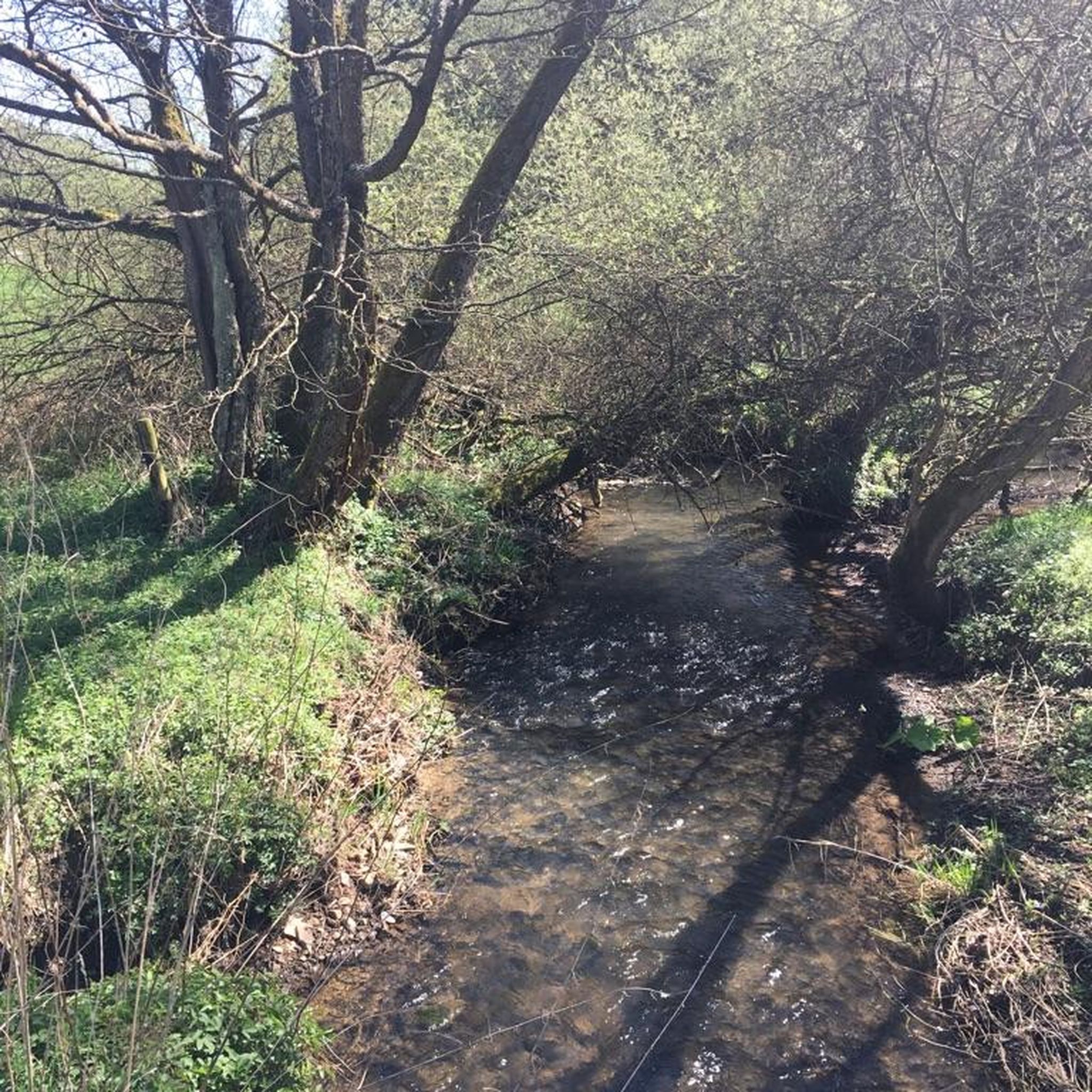
Dog-friendly hikes in Northumberland

Dog-friendly hikes around North Tyneside

Dog-friendly hikes around Stanhope

Dog-friendly hikes around Edmondbyers

Dog-friendly hikes around South Tyneside
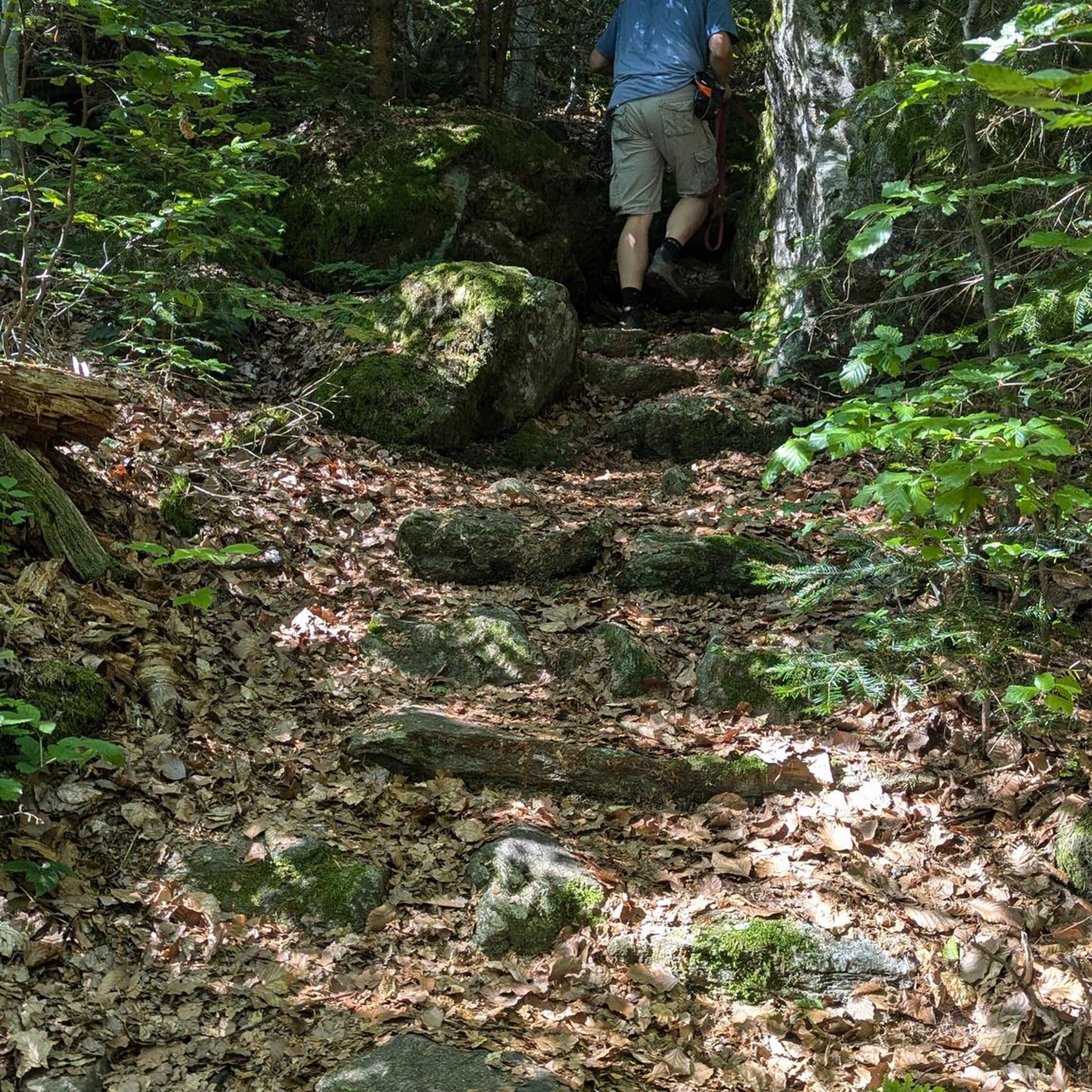
Dog-friendly hikes around Seaham
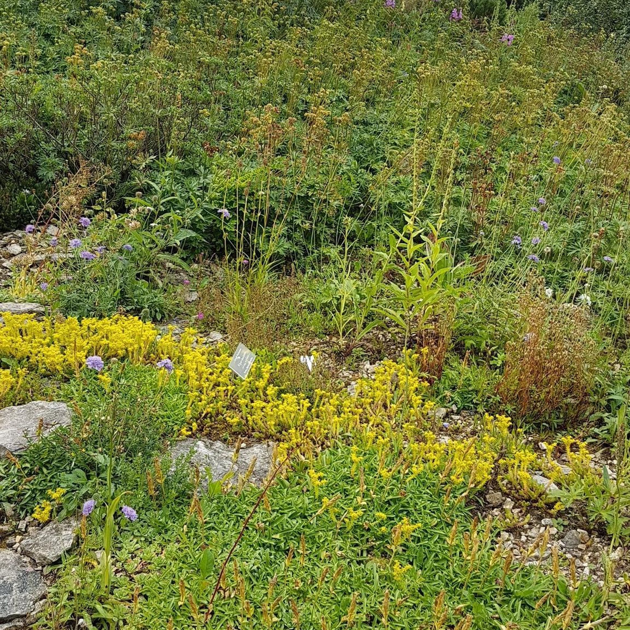
Dog-friendly hikes around Hunstanworth
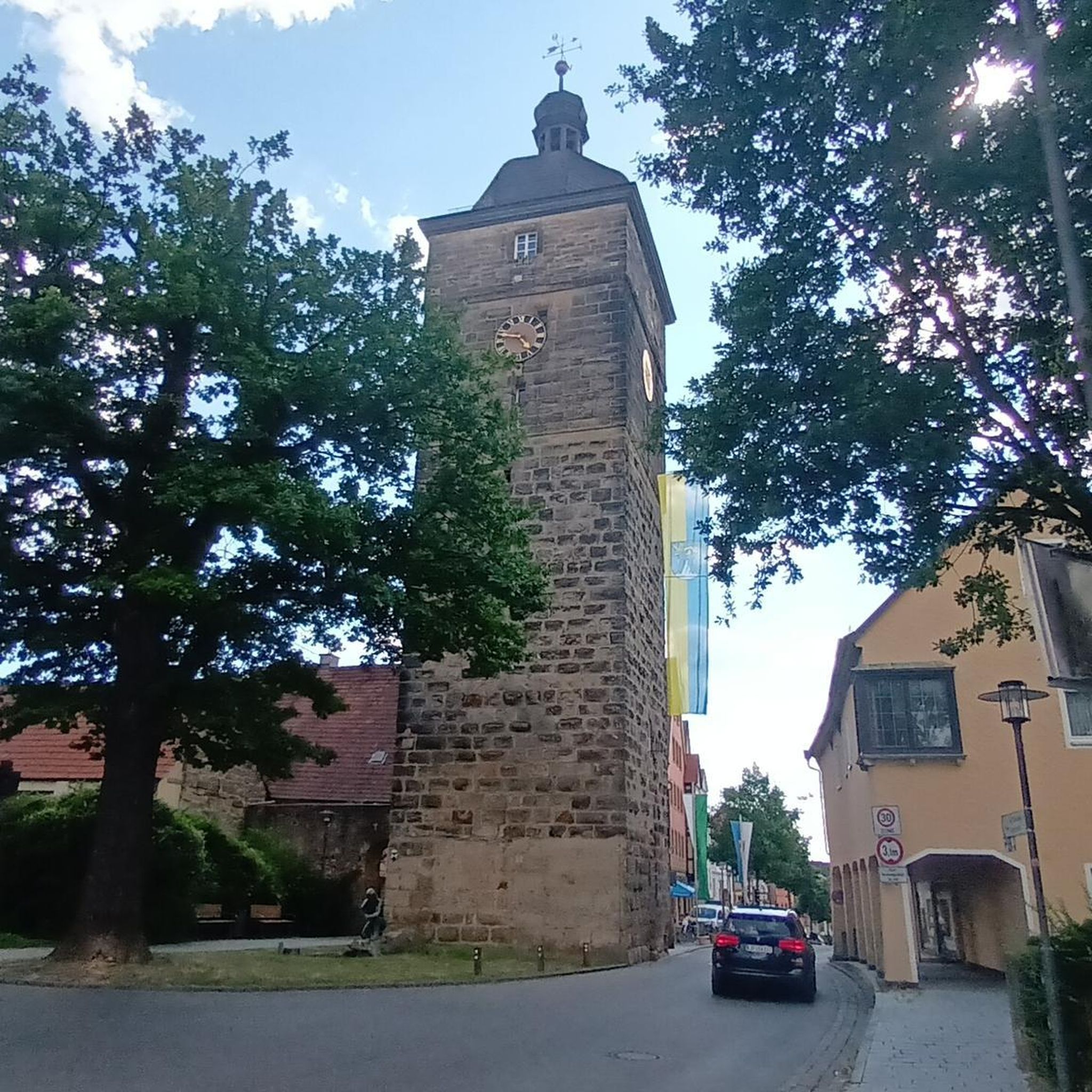
Dog-friendly hikes around Haydon
Dog-friendly hikes around Redcar and Cleveland
Other adventures in North East England


Tips from the Community

great for food and drink before or after your visit to the forest
2
0

The waterfall is fed by the Cow Green Reservoir, with water running over a dam wall and then plunging into the river.
0
0

it more of a long cataract than a waterfall and at 200 yards long ,reckoned to be the longest waterfall in England . keep away from the edges cos can be very slippery when wet .
1
0


Shildon Engine House was built around 1805 to house a Cornish pumping engine, which kept the network of lead mines operating underneath from flooding. Towards the end of its industrial life in the 1840s, an enormous steam engine was installed in a final attempt to keep the mines dry enough to work.
0
0
Frequently Asked Questions
How many dog-friendly hiking trails are available in North East England?
North East England offers a vast selection of dog-friendly trails. You can explore over 700 routes suitable for you and your canine companion, ranging from easy strolls to more challenging hikes.
What do other hikers enjoy most about the dog-friendly trails in North East England?
The komoot community highly rates the dog-friendly trails in North East England, with an average score of 4.5 stars. Hikers frequently praise the diverse landscapes, from dramatic coastlines to tranquil woodlands, and the well-maintained paths that make for enjoyable outings with their dogs.
Are there easy dog-friendly walks suitable for all fitness levels?
Yes, there are plenty of easy dog-friendly walks. Over 275 routes are classified as easy, perfect for a relaxed stroll with your dog. An example is the Blanchland Geotrail, an easy 5.7 km loop that offers gentle terrain and scenic views.
Can I find dog-friendly walks that feature waterfalls?
Absolutely! The North East is home to spectacular waterfalls. While specific routes may vary, areas like the Durham Dales within the North Pennines AONB are renowned for falls such as High Force and Low Force. You can often find dog-friendly paths leading to these natural wonders, though some sections might require dogs to be on a lead.
Are there dog-friendly coastal walks in North East England?
The North East boasts a stunning coastline with many dog-friendly sections. The Northumberland Coast Path offers breathtaking views of sandy beaches and dramatic cliffs. While specific routes are not listed here, you'll find numerous opportunities for coastal walks, often with historical castles like Dunstanburgh and Bamburgh as a backdrop. Always check local signage for dog restrictions, especially during nesting seasons.
Are there dog-friendly circular routes available?
Yes, many of the dog-friendly trails in North East England are circular, allowing you to start and finish at the same point. For instance, the Three Becks Walk loop in Hamsterley Forest is a moderate 8 km circular route perfect for exploring woodlands with your dog.
Where can I find dog-friendly walks in forests or woodlands?
Forests and woodlands are abundant in North East England and offer excellent dog-friendly walking opportunities. Hamsterley Forest in County Durham is a prime example, with extensive networks of paths. Kielder Water & Forest Park, England's largest forest, also provides vast spaces for you and your dog to explore amidst nature.
Are there dog-friendly routes with historical significance, such as Hadrian's Wall?
Yes, you can walk sections of the iconic Hadrian's Wall Path with your dog. This UNESCO World Heritage Site offers a unique blend of history and stunning landscapes. While dogs are generally welcome on the public footpaths, always keep them on a lead, especially near livestock and historical sites like Housesteads Roman Fort, which you can find more about at Roseberry Topping Summit.
What are some challenging dog-friendly hikes for more experienced walkers?
For those seeking a challenge, North East England offers over 60 difficult dog-friendly routes. The North Pennines AONB, known as England's 'Last Great Wilderness,' provides expansive moorlands and demanding trails. An example of a challenging route is the Cow Green Reservoir & Cauldron Snout loop, a difficult 14.7 km hike with significant elevation changes.
Are there dog-friendly walks near reservoirs or large bodies of water?
Yes, several dog-friendly routes explore the scenic surroundings of reservoirs. The Around Derwent Reservoir from Pow Hill Country Park is a moderate 15 km hike that circles the beautiful Derwent Reservoir, offering lovely waterside views for you and your dog.
What kind of natural attractions can I see along the dog-friendly trails?
Beyond the trails themselves, North East England's dog-friendly routes often pass by impressive natural features. You might encounter dramatic peaks like Roseberry Topping Summit or Simonside Summit, offering panoramic views. The region is also rich in unique geological formations and diverse ecosystems, particularly within the Northumberland National Park and North Pennines AONB.
Are there less crowded dog-friendly walks for a more peaceful experience?
To find less crowded dog-friendly walks, consider exploring trails within the vast Northumberland National Park or the North Pennines AONB. These areas offer extensive networks of paths, allowing you to discover quieter routes away from popular hotspots. Early mornings or weekdays are also ideal for a more serene experience.
Most popular routes in North East England
Most popular attractions in North East England

Get inspired with the komoot mobile app


Didn’t find what you were looking for?
Check out more Hikes throughout North East England below and find the perfect route in your destination.
Explore more
Browse the best Hikes in other regions.
