The best hikes from bus stations around Hagley
4.6
(1285)
7,601
hikers
14
hikes
Bus station hiking trails around Hagley offer access to the diverse Worcestershire countryside, characterized by rolling hills, extensive woodlands, and open parkland. The region is dominated by the Clent Hills, which provide varied terrain from gentle slopes to more demanding climbs. Hikers can explore prominent features like Wychbury Hill and Bunkers Hill Wood, experiencing a blend of natural landscapes. This area provides a range of paths suitable for different fitness levels, all accessible via public transport.
Best bus station hiking…
Last updated: May 20, 2026
4
hikers
11.4km
03:14
250m
250m
Moderate hike. Good fitness required. Easily-accessible paths. Suitable for all skill levels.
9
hikers
8.12km
02:10
90m
90m
Moderate hike. Good fitness required. Easily-accessible paths. Suitable for all skill levels.

Sign up for free
11
hikers
Easy hike. Great for any fitness level. Easily-accessible paths. Suitable for all skill levels.
6
hikers
2.95km
00:46
20m
20m
Easy hike. Great for any fitness level. Easily-accessible paths. Suitable for all skill levels.
4
hikers
5.73km
01:30
40m
40m
Easy hike. Great for any fitness level. Easily-accessible paths. Suitable for all skill levels.
Get access to more routes and recommendations from other explorers.
Sign up for free
Already have an account?
Our route recommendations are based on thousands of hikes, rides, and runs completed by other people on komoot.
Start today with a free account
Your next adventure awaits.
Login or Signup
Popular around Hagley
Other adventures around Hagley

Tips from the Community

The beech woods of Clent Hill are a real delight, especially with the Bluebells in bloom. There are some wonderful trees, all looking good in their new foliage.
0
0
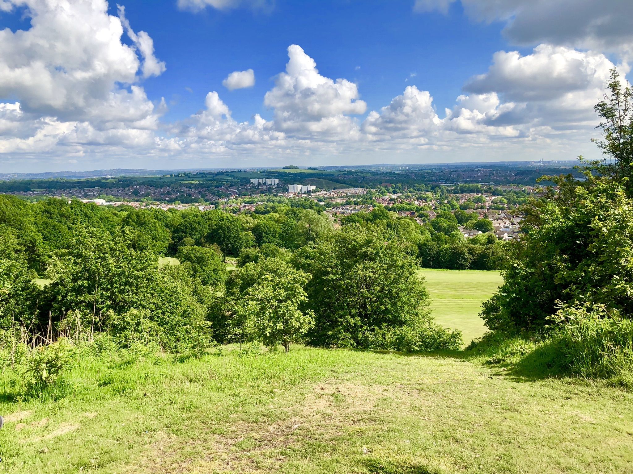
You can clearly see the centre of Birmingham from here, but you can also see most of Worcestershire if you look in the opposite direction.
0
0

Walton Hill 315.6m P212 (1035ft) (DoBIH Hill ID: 2870) [JNSA 12850] TP0725 - Walton Hill S1533 FB height 315.821m #961
0
0


A place of connection of 2 famous hiking routes. Also, Brake Lane (in the eastwards direction) will take you to the town of Hagley, which is located on the border between West Midlands and Worcestershire.
0
0

Worth a visit not only at sunset!
1
0

Nestled in the serene countryside, this charming rural church occasionally opens its doors on days when services are not held. Within its walls, you'll find poignant memorials honouring the fallen heroes of World War I and World War II. The meticulously tended grounds make for a delightful visit, inviting you to explore their beauty and tranquillity.
1
0
Frequently Asked Questions
How many bus station hiking trails are available around Hagley?
There are over a dozen hiking routes accessible directly from bus stations around Hagley. These trails offer a variety of experiences, from easy strolls to more moderate climbs, all designed for convenient public transport access.
Are there easy hiking routes from Hagley bus stations suitable for beginners or families?
Yes, many routes are suitable for beginners and families. For an easy, shorter walk, consider the Swan Lake loop from Hagley, which is just under 3 km. Another accessible option is the View of Stourbridge – View of Wychbury Obelisk loop from Hagley, offering scenic views over 5 km.
What kind of landscapes can I expect on bus station hikes in Hagley?
Hagley's bus station hikes traverse a diverse Worcestershire landscape. You'll encounter a mix of rolling hills, dense woodlands like Bunkers Hill Wood, and open parkland. Many routes lead into the prominent Clent Hills, offering elevated viewpoints and classic English countryside charm.
Are there any moderate or more challenging routes accessible by bus from Hagley?
Yes, for those seeking a more challenging experience, the The Four Stones, Clent Hills – Walton Hill Summit loop from Hagley is a moderate 11 km hike with significant elevation gain, leading to rewarding views from Walton Hill Summit. Another moderate option is the Stakenbridge Pool loop from Hagley, covering nearly 8 km.
What notable landmarks or viewpoints can I see on these bus-accessible trails?
Many trails incorporate significant local landmarks. You can visit the iconic The Four Stones, Clent Hills, a popular feature on several routes. The View of Stourbridge – View of Wychbury Obelisk loop from Hagley offers views of the historic Wychbury Obelisk. For panoramic vistas, routes often lead to Walton Hill Summit.
Are the bus station hiking trails in Hagley suitable for dogs?
Generally, the trails around Hagley are dog-friendly, offering open spaces and woodlands for your canine companions. However, always keep dogs under control, especially near livestock or in nature reserves. It's advisable to check specific route details on Komoot for any particular restrictions or recommendations.
What do other hikers say about the bus-accessible trails in Hagley?
The hiking routes around Hagley are highly regarded by the Komoot community, with an average rating of 4.6 stars from over 1300 reviews. Hikers frequently praise the diverse scenery, well-maintained paths, and the convenience of accessing these beautiful natural areas directly from bus stops.
Are there any circular routes available from Hagley bus stations?
Yes, the majority of the bus-accessible routes around Hagley are circular, allowing you to start and end your hike at the same bus stop without needing to retrace your steps. Examples include the Toilet Paper on Tree – The Four Stones, Clent Hills loop from Hagley and the Stakenbridge Pool loop from Hagley.
What are some natural features or points of interest to look out for on these hikes?
Beyond the rolling hills and woodlands, you might encounter features like Bunkers Hill Wood, known for its mature trees and wildlife. Some routes pass by water bodies such as Stakenbridge Pool, offering tranquil spots. The broader Worcestershire countryside provides a charming backdrop of fields and historical elements.
Can I find places to eat or drink near the bus station trailheads in Hagley?
Hagley village itself offers amenities including cafes and pubs, which are conveniently located near the main bus stops. Many hikers enjoy combining their walk with a visit to a local establishment for refreshments before or after their adventure.
Are there any parks or larger green spaces accessible from Hagley bus stations for a more relaxed walk?
Yes, Hagley Park (Worcestershire), a vast 350-acre estate with mature woodlands and open spaces, is accessible and offers leisurely walks. While not directly a bus station trailhead in all sections, its proximity to Hagley village means parts of it can be easily reached for a relaxed stroll.
Most popular routes around Hagley
Most popular attractions around Hagley

Get inspired with the komoot mobile app


Explore more
Browse the best Hikes in other regions.
