The best hikes from bus stations around Manaton
4.6
(4128)
21,177
hikers
23
hikes
Bus station hiking trails around Manaton offer access to the diverse landscapes of Dartmoor National Park. The region is characterized by expansive high moorland, deep valleys, and ancient woodlands. Hikers can explore dramatic granite tors, such as Bowerman's Nose and Hound Tor, alongside rivers like the Bovey and Dart. The terrain includes both open moorland and sheltered wooded areas, providing varied environments for exploration.
Best bus station hiking trails around Manaton
- The most popular bus station hiking route is Hound…
Last updated: November 1, 2026
4.7
(11)
62
hikers
10.7km
03:09
310m
300m
Moderate hike. Good fitness required. Mostly walkable paths. Sure-footedness required.
4.8
(30)
93
hikers
10.5km
03:09
330m
330m
Moderate hike. Good fitness required. Easily walkable paths.

5.0
(6)
34
hikers
21.0km
06:14
620m
620m
Hard hike. Very good fitness required. Easily walkable paths.
4.6
(12)
43
hikers
7.99km
02:26
280m
280m
Moderate hike. Good fitness required. Mostly walkable paths. Sure-footedness required.
4.6
(5)
19
hikers
5.25km
01:35
170m
170m
Moderate hike. Mostly walkable paths. Sure-footedness required.
Get access to more routes and recommendations from other explorers.
Already have an account?
Our route recommendations are based on thousands of hikes, rides, and runs completed by other people on komoot.
Start today with a free account
Your next adventure awaits.


Tips from the Community

The old clam bridge is currently out of use as the hand rail has collapsed (08-Oct-2026).
0
0

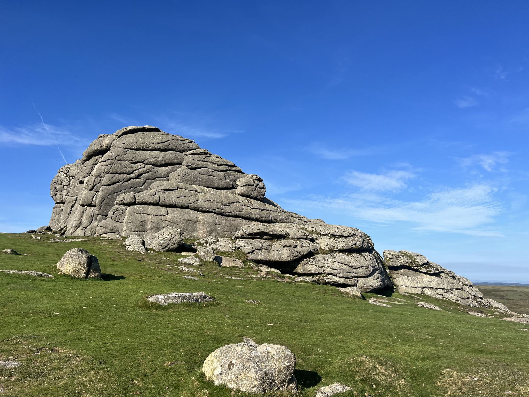
A nice place with spectacular views.
0
0

Simple stone bridge, fits well with the rest!
0
0

don't go when it's raining and foggy i still enjoyed it dartmoor is amazing any time you visit
0
0

ensure you have a good waterproof coat, don't go up when it's to dark as it's very rocky and uneven you would get very lost, in the summer it's amazing with great picnic spots and then it's very hot so sun cream needed definitely.
0
0

Which bridge will you use? Old Clam Bridge circa 1888 with the adjacent new bridge added in 2007...
0
0

Hisley Bridge is a historic stone bridge located in the Dartmoor National Park in Devon, England. It spans the River Tavy and is known for its picturesque setting and architectural significance. Built in the 18th century, Hisley Bridge features a single arch and is constructed from local granite, characteristic of many Dartmoor structures. The bridge is part of the area's rich history and is often visited by hikers and walkers exploring the surrounding trails. It provides a scenic spot for photography and offers access to various walking routes that showcase the natural beauty of Dartmoor. The region around Hisley Bridge is also known for its wildlife and diverse ecosystems, making it a popular destination for nature enthusiasts. Whether you're interested in history, architecture, or the outdoors, Hisley Bridge is a charming feature of the Dartmoor landscape.
1
0
Frequently Asked Questions
How many bus station accessible hiking trails are available around Manaton?
There are over 20 hiking routes around Manaton that are easily accessible from bus stations. These trails offer a variety of experiences, from easy strolls to more challenging treks across Dartmoor's diverse landscape.
Are there easy or beginner-friendly hiking routes accessible from Manaton bus stations?
Yes, there are 5 easy routes available from Manaton bus stations, perfect for beginners or those looking for a relaxed walk. While specific easy routes aren't detailed here, you can find options that explore the gentler parts of the valleys and ancient woodlands.
What are some moderate hiking options from Manaton bus stations?
Manaton offers 13 moderate hiking routes accessible by bus. A popular choice is the Hound Tor – Greator Rocks loop from Manaton, which covers about 11 km and takes you past iconic tors. Another excellent option is the Hunter's Tor – Hisley Bridge loop from Manaton, a 10.5 km route offering varied terrain.
Are there challenging hikes accessible by bus in the Manaton area?
Yes, for experienced hikers, there are 3 difficult routes accessible from Manaton bus stations. One such challenging route is the Smallacombe Rocks – Haytor Rocks loop from Manaton, which spans nearly 18 km and features significant elevation changes, rewarding you with expansive views across the moorland.
Can I find circular walks starting from Manaton bus stations?
Many of the routes accessible from Manaton bus stations are circular, allowing you to return to your starting point without retracing your steps. Examples include the Old Clam Bridge – Hunter's Tor loop from Manaton and the Medieval Clapper Bridge – Old Clam Bridge loop from Manaton.
What kind of landscapes and natural features can I expect to see on these bus-accessible trails?
The bus-accessible trails around Manaton traverse a dramatic and diverse landscape. You'll encounter expansive high moorland, deep valleys, and ancient woodlands. Expect to see distinctive granite tors like Hound Tor and Haytor Rocks, as well as the wild Dartmoor ponies that roam freely.
Are there any historical or archaeological sites along the bus station hiking trails near Manaton?
Yes, the region is rich in history. Hikers can discover ancient monuments and archaeological sites. For instance, you might encounter the ruins of a medieval village near Hound Tor or other ancient stone structures that dot the landscape, offering a glimpse into Dartmoor's past.
Are the bus station hiking trails around Manaton suitable for families?
Manaton offers a range of trails, including easier options that are suitable for families. These routes often feature well-trodden paths through woodlands or along gentler moorland sections, providing opportunities for children to explore nature safely. Look for shorter, less strenuous loops.
Are dogs allowed on the hiking trails accessible from Manaton bus stations?
Many trails in Dartmoor National Park are dog-friendly, but it's crucial to keep dogs on a lead, especially during lambing season (March-July) and near livestock or ground-nesting birds. Always follow the Dartmoor National Park's guidance on responsible dog walking to protect wildlife and livestock.
What is the best time of year to hike these bus-accessible trails in Manaton?
The best time to hike in Manaton is generally from late spring to early autumn (May to October) when the weather is milder and the days are longer. However, Dartmoor's weather can be unpredictable, so always be prepared for changing conditions, even in summer. Winter hikes offer a different, often more dramatic, experience but require appropriate gear and caution.
Are there any viewpoints offering panoramic views on trails accessible by bus?
Absolutely. Manaton is surrounded by iconic tors that provide stunning panoramic views. Haytor Rocks is a much-photographed landmark offering impressive vistas across the moorland and, on clear days, extending to the coast. Many other tors, like Hound Tor, also offer excellent vantage points.
What do other hikers say about the bus station accessible trails in Manaton?
The bus station accessible trails in Manaton are highly rated by the komoot community, with an average score of 4.59 stars. Reviewers often praise the dramatic landscapes, the abundance of iconic granite tors, and the peaceful moorland sections, making for a truly memorable outdoor experience.
Most popular attractions around Manaton

Get inspired with the komoot mobile app


Explore more
Browse the best Hikes in other regions.
