The best walks and hikes around Maria Laach am Jauerling
4.5
(2931)
16,444
hikers
44
hikes
Hiking around Maria Laach am Jauerling offers diverse landscapes within the Jauerling-Wachau Nature Park in Lower Austria. The region features river landscapes, wine-growing areas, meadows, forests, and valleys. The central Jauerling mountain, at 960 meters, is the highest mountain along the Danube river, providing expansive views. The topography includes both gentle paths and more demanding ascents.
Best hiking trails around Maria Laach am Jauerling
- The most popular hiking route is Jauerling circuit - to the highest mountain on the Danube…
Last updated: July 10, 2026
4.6
(37)
164
hikers
3.57km
00:59
60m
60m
Moderate hike. Great for any fitness level. Mostly accessible paths. Sure-footedness required.
4.8
(63)
305
hikers
Moderate hike. Good fitness required. Easily-accessible paths. Suitable for all skill levels.

Sign up for free
4.8
(37)
185
hikers
Moderate hike. Good fitness required. Easily-accessible paths. Suitable for all skill levels.
4.6
(16)
73
hikers
Moderate hike. Good fitness required. Easily-accessible paths. Suitable for all skill levels.
4.9
(7)
30
hikers
12.3km
03:41
400m
400m
Moderate hike. Good fitness required. Easily-accessible paths. Suitable for all skill levels.
Get access to more routes and recommendations from other explorers.
Sign up for free
Already have an account?
Our route recommendations are based on thousands of hikes, rides, and runs completed by other people on komoot.
Start today with a free account
Your next adventure awaits.
Login or Signup
Popular around Maria Laach am Jauerling
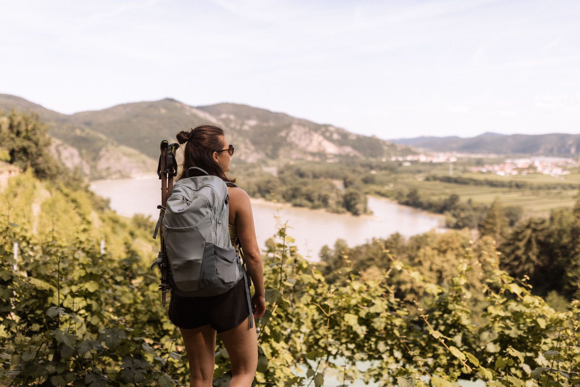
Wachau World Heritage Trail – Danube Valley and Wachau wine country
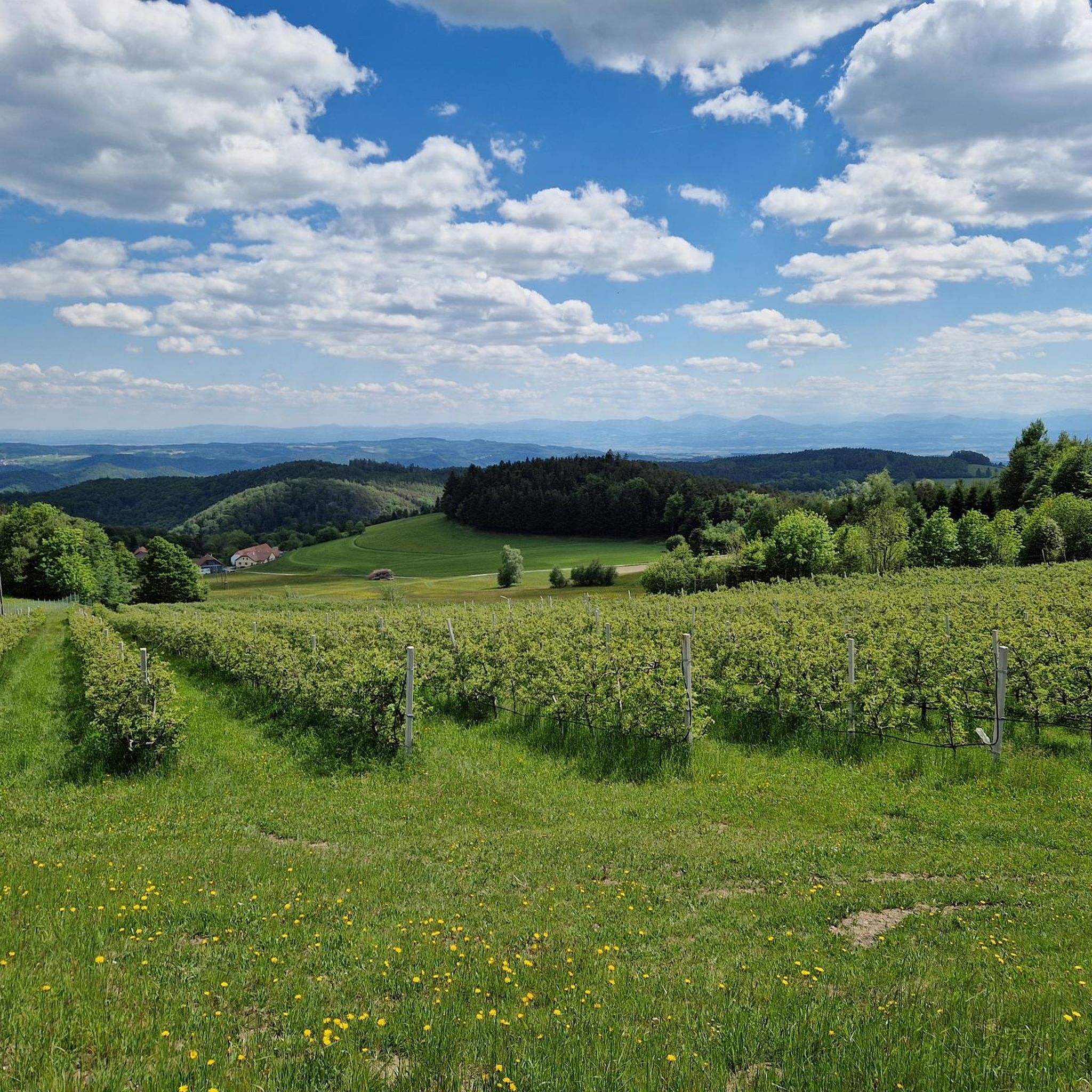
MTB Trails around Maria Laach am Jauerling
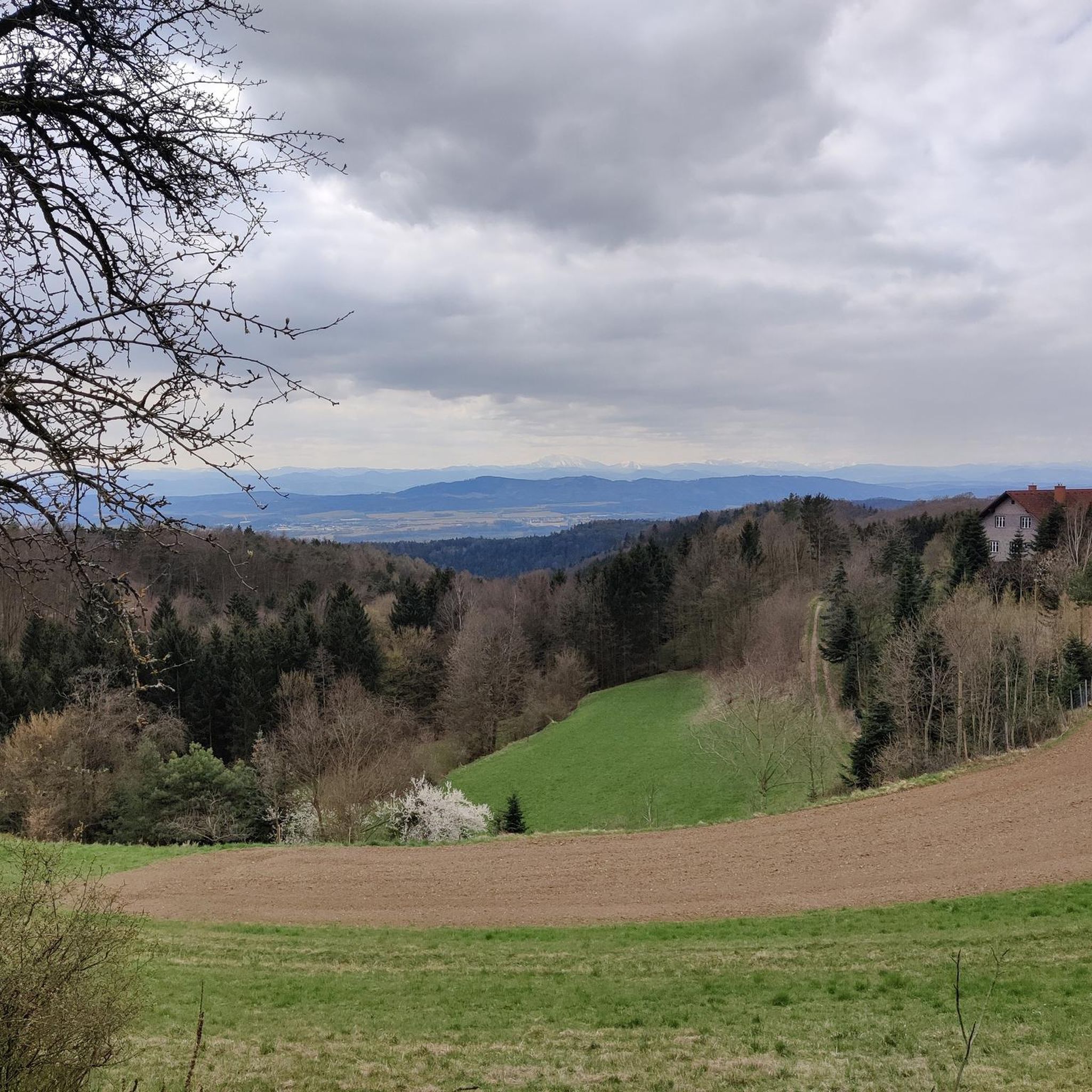
Road Cycling Routes around Maria Laach am Jauerling
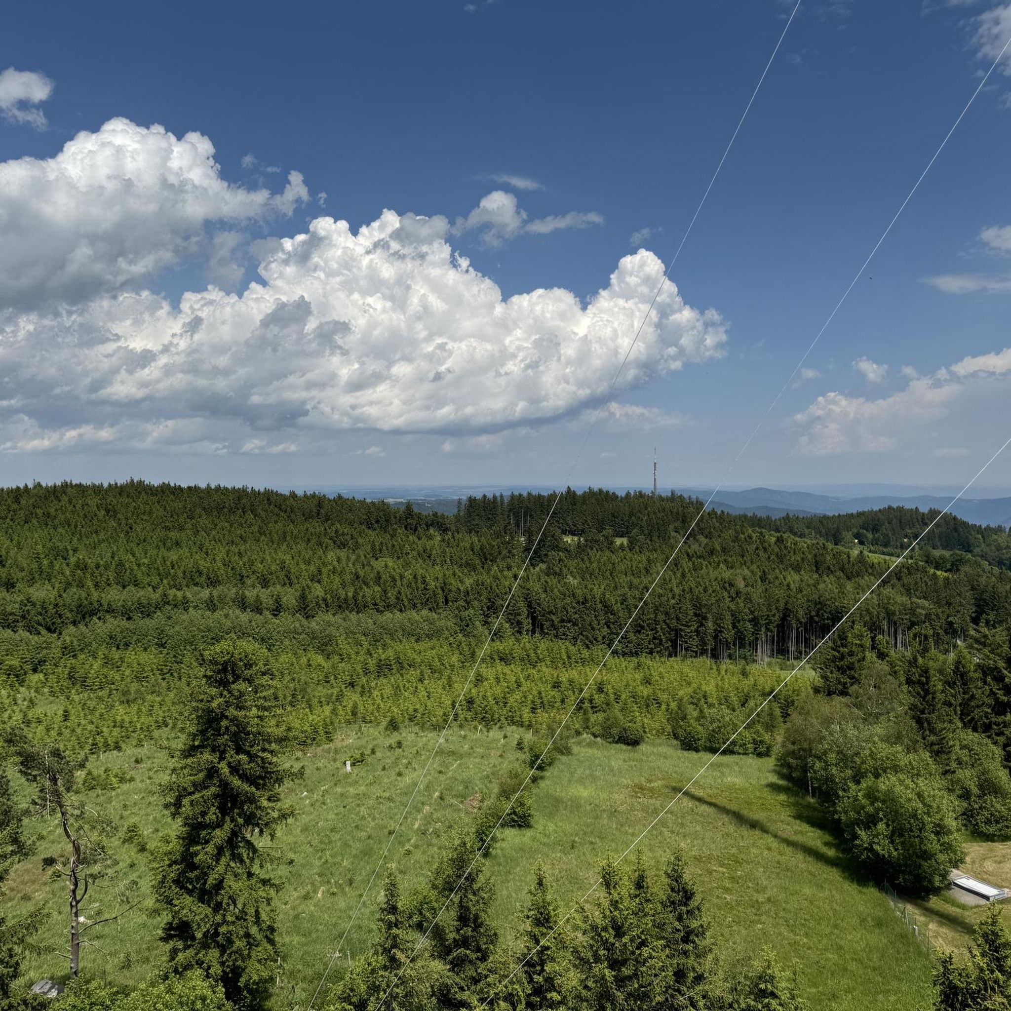
Running Trails around Maria Laach am Jauerling
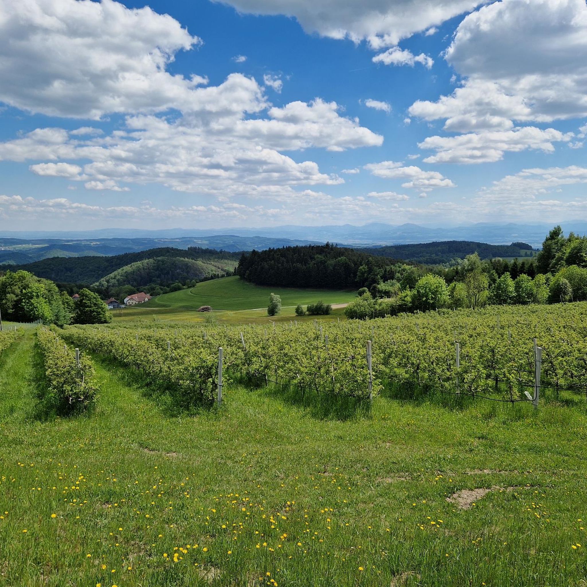
Cycling around Maria Laach am Jauerling

Gravel biking around Maria Laach am Jauerling
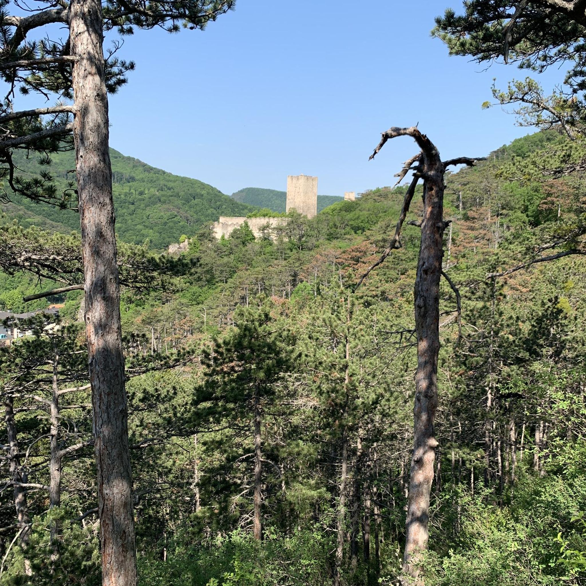
Mountain Hikes around Maria Laach am Jauerling
Other adventures around Maria Laach am Jauerling

Tips from the Community

Located on the side of the road near the nature park house.
0
0
Of course, the observation deck next to the transmitter is more interesting.
0
0
Flat summit with no view. But plenty to read.
0
0
Very good food and a beautiful view of the Spitzergraben, Spitz and the Danube from the terrace.
0
0
lots of interesting information - start of the various paths on the Jauerling and the path to the Nature Park House
0
0

Unspectacular summit after a spectacular ascent.
0
0

Wonderful view of Maria Laach and the magnificent mountain world.
1
0

The educational trail consists of 10 diagrams that are set up along the path between the car park at the ski lift and the observation tower. Each individual image is extremely interesting in terms of content.
1
0
Frequently Asked Questions
What kind of terrain can I expect on hiking trails around Maria Laach am Jauerling?
The region offers a diverse landscape, from river valleys and wine-growing areas to pristine meadows, tranquil forests, and the gentle slopes of the Jauerling mountain. You'll find a mix of paths winding through vineyards, orchards, historic stone terraces, and shaded woodlands, providing varied hiking experiences.
Are there any easy hiking routes suitable for beginners or families with young children?
Yes, Maria Laach am Jauerling offers 22 easy hiking routes. For a gentle experience, consider paths along the Kamp River, which are relatively flat. The Jauerling circuit - to the highest mountain on the Danube is a moderate option that is relatively short at 3.6 km and can be completed in under an hour, making it suitable for families looking for a shorter adventure.
What are the best times of year to go hiking in Maria Laach am Jauerling?
Spring and autumn are considered the best seasons for hiking in Maria Laach am Jauerling. During these times, you'll experience pleasant temperatures and vibrant natural colors, making for a particularly scenic and comfortable outdoor adventure.
Are there any circular hiking routes in the area?
Yes, there are several circular routes. A popular option is the Jauerling Observation Tower – View of the Alps loop from Maria Laach am Jauerling, which offers panoramic views. Another is the Maria Laach Power Trail, a circular route starting at the market square that features 11 forest stations and leads back to the historic pilgrimage church.
What notable landmarks or viewpoints can I find along the hiking trails?
The Jauerling mountain, at 960 meters, offers spectacular panoramic views across the Danube valley and the Wachau region. At its summit, you'll find the Jauerling Observation Tower, which provides even more expansive vistas. You can reach it via routes like the Jauerling Observation Tower – Jahn Memorial on Jauerling loop from Katastralgemeinde Obernhof.
Are there any historical or cultural attractions to explore near the hiking paths?
Absolutely. The Maria Laach Pilgrimage Church, with its medieval interior and nearly thousand-year-old tradition, is a significant historical site. You can also visit the Hinterhaus Castle Ruins or the Artstetten Castle, which are among the many castles and ruins in the wider region.
What do other hikers enjoy most about the trails in Maria Laach am Jauerling?
The hiking trails in Maria Laach am Jauerling are highly rated by the komoot community, with an average score of 4.6 stars from over 400 reviews. Hikers often praise the diverse landscapes, the stunning panoramic views from the Jauerling summit, and the well-maintained network of paths that cater to various fitness levels.
Are there any routes that offer views of lakes or rivers?
Yes, the region is characterized by its river landscapes, particularly the Danube. While hiking, you might encounter views of the Danube or smaller bodies of water like Lake Rührsdorf or Danube Lake, especially on routes that traverse the lower elevations or riverbanks.
How many hiking trails are available in Maria Laach am Jauerling?
There are 44 hiking trails available in Maria Laach am Jauerling. These routes range from easy strolls to more moderate ascents, ensuring options for various preferences and fitness levels.
Can I find longer, more challenging routes for experienced hikers?
While many routes are easy to moderate, the region is part of the Wachau World Heritage Trail, with several stages passing through the area. These longer sections, such as those connecting Maria Laach to Aggsbach Markt, can provide a more demanding experience for seasoned hikers looking for extended journeys.
Are there any specific routes that offer expansive views of the Alps?
Yes, routes like the View of the Alps – Maria Laach loop from Jauerling are specifically named for their vistas. From the Jauerling summit and observation tower, on clear days, you can enjoy panoramic views that extend across the Danube valley and Wachau region, with distant sights of the Carpathian Mountains and even the Alps.
Most popular routes around Maria Laach am Jauerling
Most popular attractions around Maria Laach am Jauerling

Get inspired with the komoot mobile app


Explore more
Browse the best Hikes in other regions.
