The best hikes from bus stations around Hungerford
4.6
(550)
3,725
hikers
13
hikes
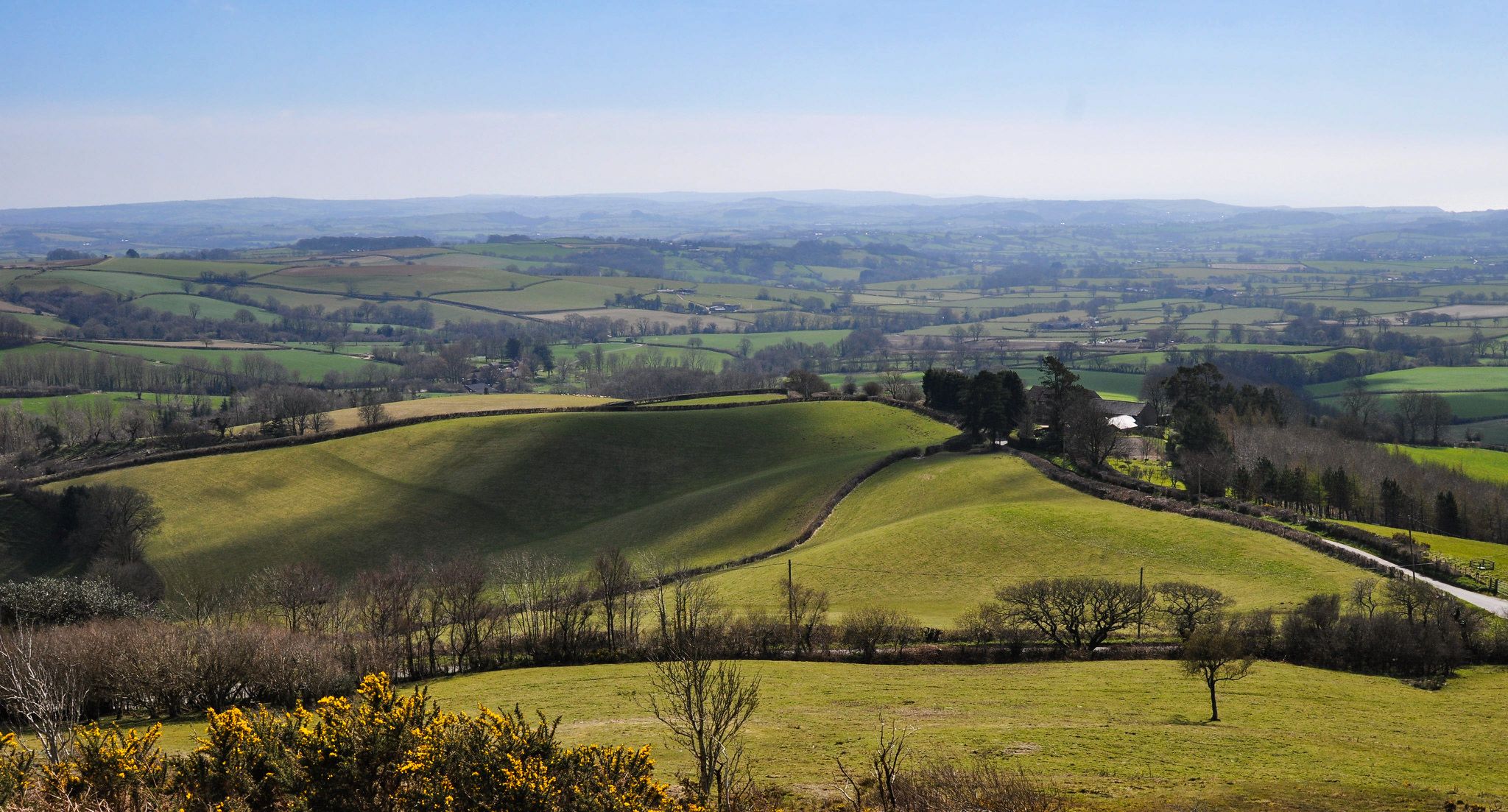
Bus station hiking trails around Hungerford are situated within the North Wessex Downs Area of Outstanding Natural Beauty, offering diverse landscapes for outdoor exploration. The region is characterized by rolling hills, extensive woodlands, and the tranquil Rivers Kennet and Dun. Hikers can expect a mix of gentle riverside paths, ancient common land, and routes through chalk ridges and valleys. This varied terrain provides options for different fitness levels.
Best bus station hiking trails around Hungerford
- The most popular bus station…
Last updated: October 18, 2026
5.0
(1)
16
hikers
6.29km
01:36
20m
20m
Easy hike. Great for any fitness level. Easily-accessible paths. Suitable for all skill levels.
10
hikers
5.67km
01:27
20m
20m
Easy hike. Great for any fitness level. Easily-accessible paths. Suitable for all skill levels.

5.0
(1)
5
hikers
9.80km
02:36
100m
100m
Moderate hike. Good fitness required. Easily-accessible paths. Suitable for all skill levels.
10
hikers
3.76km
00:58
10m
10m
Easy hike. Great for any fitness level. Easily-accessible paths. Suitable for all skill levels.
6
hikers
4.85km
01:16
30m
30m
Easy hike. Great for any fitness level. Easily-accessible paths. Suitable for all skill levels.
Get access to more routes and recommendations from other explorers.
Already have an account?
Our route recommendations are based on thousands of hikes, rides, and runs completed by other people on komoot.
Start today with a free account
Your next adventure awaits.
Popular around Hungerford
Other adventures around Hungerford

Tips from the Community

This bridge offers breathtaking views up and down the Kennett and Avon Canal in Hungerford. The nearby Tutti Pole is a wonderful place to stop and eat.
1
0

Kennet and Avon Canal path is a lovely section with plenty of room to pass walkers, be respectful and use a bell
0
0

Free toilets if you get caught short.
0
0

The Kennet and Avon Canal is 87 miles (140km) long. It links Bristol to Reading joining the natural waterways of the Avon and Kennet rivers with a 57mile (92km) canal. The canal was constructed between 1794 and 1810. The construction of the railways lost the canal a lot of it's trade and it fell into disrepair in the late 19th century. The canal and path have been restored and fully opened again in 1990.
1
0

Idyllic spot for lunch in the summer time. Nice vibes
0
0


Kennet and Avon Canal path was pretty quite on a sunny Tuesday afternoon in September which was useful given that it is very narrow in places so passing people and other bikes could be an issue on a busy day
1
0

Crossing point if you want to stay dry!
0
0
Frequently Asked Questions
How many bus station hiking trails are available around Hungerford?
There are 15 hiking trails accessible directly from bus stations around Hungerford. These routes offer a convenient way to explore the beautiful North Wessex Downs AONB without needing a car.
What kind of terrain can I expect on bus station hikes in Hungerford?
The terrain around Hungerford is diverse, featuring rolling hills, extensive woodlands, and serene riverside paths along the Rivers Kennet and Dun. You'll find a mix of gentle, flat sections, particularly along the Kennet and Avon Canal Path, and some moderate climbs through open meadows and forests, characteristic of the North Wessex Downs AONB.
Are there easy, family-friendly walks from Hungerford bus stations?
Yes, there are 10 easy routes suitable for families. For a pleasant, shorter walk, consider the Church of St Lawrence – Tutti Pole Café loop from Freeman's Marsh, which is just over 6 km. These trails often explore Hungerford Common and the riverbanks, providing scenic views and opportunities to spot wildlife.
Can I find circular routes starting from Hungerford bus stations?
Many of the bus station hikes around Hungerford are circular, allowing you to return to your starting point without retracing your steps. For example, the Tutti Pole Café – Bridge Over the River Dun loop from Hungerford is a popular circular option.
What interesting landmarks or natural features can I see on these trails?
The trails offer access to several notable features. You might encounter historical sites like Combe Gibbet, or enjoy the tranquil waterside scenery of the Kennet and Avon Canal Path. Natural highlights include ancient trees like the Old Paunchy Oak and the Big Belly Oak, or historical monuments such as the Ailesbury Column.
Are there any moderate difficulty hikes accessible by bus?
Yes, there are 5 moderate routes available. If you're looking for a longer, more challenging walk, the The Pelican loop from Freeman's Marsh offers a good workout with varied scenery, covering about 9.5 km.
What do other hikers say about the bus station trails in Hungerford?
The area is highly rated by the komoot community, with an average score of 4.6 stars from over 460 ratings. Reviewers often praise the peaceful countryside, well-maintained paths, and the convenience of accessing beautiful natural landscapes directly from public transport.
Are the bus station hiking trails in Hungerford suitable for dogs?
Many trails in the Hungerford area, especially those on public footpaths and common land like Hungerford Common, are dog-friendly. However, always keep dogs under control, especially near livestock, and check for any specific signage regarding dog access, particularly in nature reserves or private land sections.
Can I find longer, more adventurous hikes from Hungerford bus stations?
For those seeking a longer adventure, the Hungerford Town Centre – Kennet and Avon Canal Path loop from Froxfield is a moderate 16.5 km route. It combines sections along the historic canal with broader countryside exploration, offering a full day out.
Are there any historical walks or heritage trails near Hungerford bus stations?
Beyond the natural beauty, Hungerford has a rich history. While not a specific komoot route in this guide, the town itself offers heritage walks exploring its historic buildings and features, including sections of the Kennet and Avon Canal. For more information on these town walks, you can visit visithungerford.com.
What is the best time of year to hike around Hungerford?
Hungerford's trails are enjoyable year-round. Spring brings wildflowers and lush greenery, while autumn offers stunning foliage in the woodlands. Summer is ideal for longer days, and even winter walks can be beautiful, especially along the rivers and through the crisp air of the North Wessex Downs, provided paths are clear.
Most popular routes around Hungerford
Most popular attractions around Hungerford

Get inspired with the komoot mobile app


Explore more
Browse the best Hikes in other regions.
