The best traffic-free bike rides around Brayton
4.8
(117)
1,447
riders
72
rides
No traffic touring cycling routes around Brayton are situated within the flat, arable terrain of the Vale of York, offering expansive views and rural countryside. The region features the historic Selby Canal, providing tranquil, flat towpaths ideal for cycling. Brayton Barff, an ancient woodland, offers a local hill with elevated views over the surrounding area. This predominantly flat topography is well-suited for steady touring cycling without significant climbs.
Best no traffic touring cycling routes around Brayton
- The most popular no…
Last updated: May 20, 2026
32
riders
25.4km
01:28
50m
50m
Easy bike ride. Great for any fitness level. Mostly paved surfaces. Suitable for all skill levels.
4.0
(1)
15
riders
24.1km
01:21
20m
20m
Easy bike ride. Great for any fitness level. Mostly paved surfaces. Suitable for all skill levels.
4
riders
15.4km
00:54
40m
40m
Easy bike ride. Great for any fitness level. Mostly paved surfaces. Suitable for all skill levels.
Get access to more routes and recommendations from other explorers.
Sign up for free
Already have an account?
Our route recommendations are based on thousands of hikes, rides, and runs completed by other people on komoot.
Start today with a free account
Your next adventure awaits.
Login or Signup
Popular around Brayton
Tips from the Community

One of four rest areas on the former RAF Burne Airfield.
2
0
One of four rest areas on the former RAF Burne Airfield.
2
0
One of four rest areas on the former RAF Burne Airfield.
2
0
One of four rest areas on the former RAF Burne Airfield.
2
0


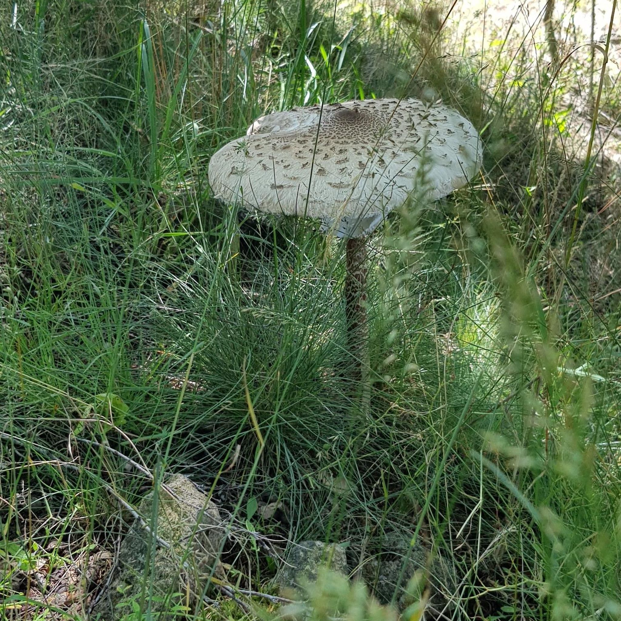
The plant's roots swell up to form bulbs or tubers, which are reputedly delicious and can be eaten as a starchy vegetable. Lesser celandine has been used as a potherb in central Europe and the young parts of the plant have been added to salads. All parts of this plant need to be cooked.
1
0
Wood sorrel contains oxalic acid, which gives it the sharp flavour. This is perfectly safe when eaten in small quantities and is present in many of our commonly eaten vegetables, but wood sorrel should not be eaten in large amounts.
1
0

Beautiful spot to stop and have a drink and some food. Although be warned, it is a cash only establishment and does not accept card payments. Fortunately a very nice Dad and Daughter out for a motorbike ride were very kind and paid for a Latte.
0
0
Frequently Asked Questions
How many no-traffic touring cycling routes are available around Brayton?
There are over 70 dedicated no-traffic touring cycling routes around Brayton. Many of these are classified as easy, making them accessible for various skill levels.
What makes Brayton a good area for no-traffic touring cycling?
Brayton is situated within the flat Vale of York, offering expansive, level terrain ideal for touring cyclists seeking routes away from traffic. The area features tranquil canal towpaths, dedicated cycleways, and paths through former airfields, providing a peaceful and scenic cycling experience.
What is the typical terrain and difficulty level of no-traffic touring cycling routes in Brayton?
The terrain around Brayton is predominantly flat, characteristic of the Vale of York, making most routes easy to moderate. While some paths, particularly along the Selby Canal, can be uneven or muddy, the overall lack of significant climbs allows for steady, enjoyable rides. Over 40 of the available routes are rated as easy.
Are there any circular no-traffic touring cycling routes near Brayton?
Yes, there are several circular no-traffic touring cycling routes. For example, the Open Plains – Rest Stop by the Canal loop from Brayton offers a pleasant circular ride, and the Bike loop from Brayton is another great option for exploring the local area.
Are the no-traffic touring cycling routes around Brayton family-friendly?
Many of the no-traffic routes are very family-friendly due to the flat terrain and absence of vehicle traffic. The Selby to York Cycle Route, which features a scale model of the solar system, is particularly popular with families and novice cyclists for its gentle nature and engaging features.
What natural features or landmarks can I expect to see on these no-traffic routes?
You can expect to encounter diverse natural features and historical landmarks. The Selby Canal offers tranquil waterside cycling with glimpses of barges and Grade II-listed locks. Routes also pass by former Royal Air Force airfields like RAF Burn Airfield, which now serve as scenic trails. For a unique experience, visit RAF Riccall Bomber Memorial at Skipwith Common.
Are there any viewpoints along the no-traffic touring cycling routes?
While the Vale of York is generally flat, Brayton Barff, an ancient woodland, offers one of the few elevated spots in the area. Climbing to the top provides rare panoramic views of the surrounding countryside. Some routes also offer expansive views across the open plains.
Can I bring my dog on these no-traffic cycling routes?
Many of the public paths and trails are suitable for dogs, especially those on leads. However, it's always best to check local signage, particularly in nature reserves or agricultural areas, to ensure dog-friendly access and to be mindful of livestock.
Where can I park when starting a no-traffic touring cycling route in Brayton?
Parking is generally available in and around Brayton and the nearby market town of Selby. Specific parking areas may vary depending on your chosen starting point, but public car parks in Selby often provide convenient access to the wider network of routes.
How can I access these routes using public transport?
Selby, being a market town, has good public transport links, including a train station and bus services. You can often reach starting points for many routes from Selby, which is very close to Brayton. Check local bus and train schedules for the most convenient access points.
Are there places to stop for refreshments or food along the no-traffic routes?
Yes, several routes pass by or near places offering refreshments. The Birkin Tea Room is a popular stop. Additionally, the nearby towns and villages often have pubs and cafes where you can refuel during your ride.
What do other touring cyclists enjoy most about the no-traffic routes in Brayton?
The area is highly rated by the komoot community, with an average score of 4.76 stars. Reviewers often praise the peaceful, traffic-free nature of the routes, the flat and easy terrain, and the scenic views across the Vale of York. The historical interest of the Selby Canal and former RAF airfields are also frequently mentioned highlights.
Most popular attractions around Brayton

Get inspired with the komoot mobile app


Explore more
Browse the best Cycling routes in other regions.
