The best hikes from bus stations around Buriton
4.6
(209)
2,047
hikers
35
hikes
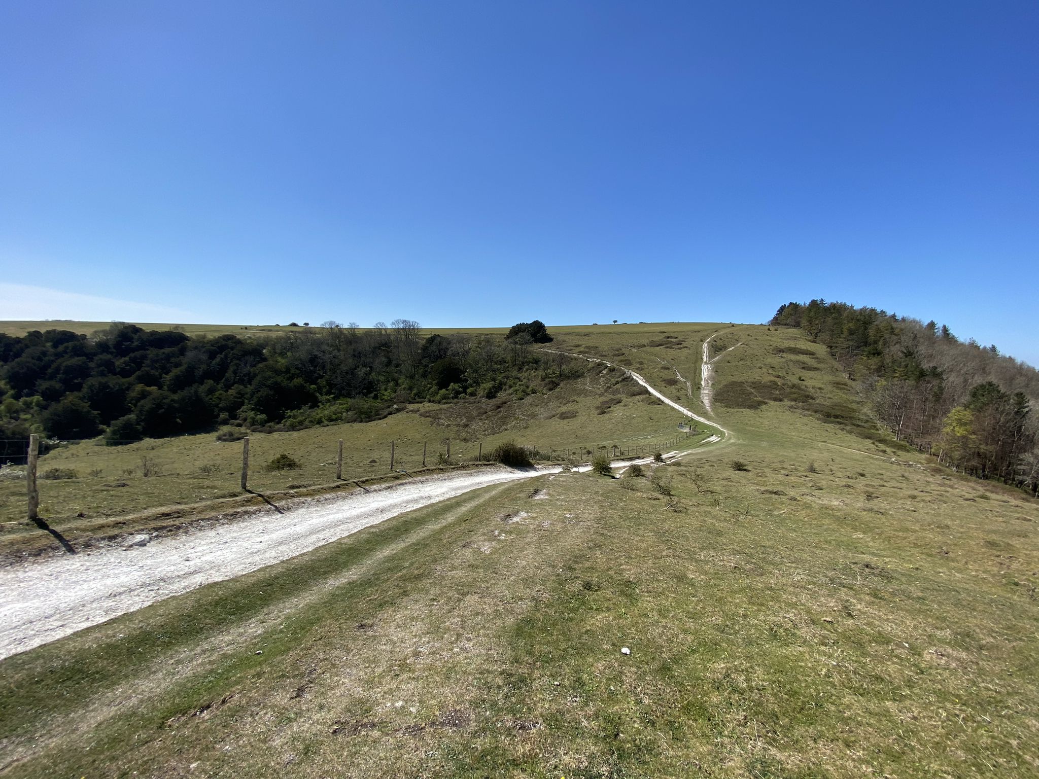
Bus station hiking trails around Buriton offer access to the diverse landscapes of the South Downs National Park. The region is characterized by rolling chalk downs, extensive woodlands, and prominent hills like Butser Hill. Hikers can explore former chalk quarries, ancient earthworks, and varied terrains suitable for different experience levels. The area provides a network of paths through natural features and historical sites.
Best bus station hiking trails around Buriton
- The most popular bus station hiking route is Buriton loop, an easy 3.1 miles (5.0 km) trail that takes 1 hour 24 minutes to complete. This route offers a gentle exploration of the local village surroundings.
- Another top favourite among local hikers is Queen Elizabeth Country Park – Windmill Hill loop from Clanfield, a moderate 8.9 miles (14.4 km) path. This trail navigates through the woodlands and open spaces of Queen Elizabeth Country Park, offering varied scenery.
- Local hikers also love the Butser Hill – Butser Hill loop from Buriton, an 8.7 miles (14.0 km) trail leading through the highest point of the South Downs National Park, often completed in about 4 hours 12 minutes.
- Hiking around Buriton is defined by rolling chalk downs, dense hanger woodlands, and significant hills like Butser Hill. The extensive network of paths offers options for various ability levels, from gentle strolls to more strenuous climbs.
- The routes in Buriton are highly rated by the komoot community with an average score of 4.6 stars from over 200 reviews. More than 2000 hikers have used komoot to explore Buriton's varied terrain.
Last updated: July 1, 2026
4.3
(4)
25
hikers
5.04km
01:24
90m
90m
Easy hike. Great for any fitness level. Easily-accessible paths. Suitable for all skill levels.
4.0
(6)
143
hikers
6.77km
01:53
130m
130m
Easy hike. Great for any fitness level. Easily-accessible paths. Suitable for all skill levels.

Sign up for free
4.4
(19)
86
hikers
18.4km
05:10
350m
360m
Hard hike. Very good fitness required. Easily-accessible paths. Suitable for all skill levels.
5.0
(6)
75
hikers
14.3km
04:03
310m
310m
Moderate hike. Good fitness required. Easily-accessible paths. Suitable for all skill levels.
5.0
(5)
57
hikers
14.0km
04:12
440m
440m
Moderate hike. Good fitness required. Easily-accessible paths. Suitable for all skill levels.
Get access to more routes and recommendations from other explorers.
Sign up for free
Already have an account?
Our route recommendations are based on thousands of hikes, rides, and runs completed by other people on komoot.
Start today with a free account
Your next adventure awaits.
Login or Signup
Popular around Buriton
Other adventures around Buriton


Tips from the Community

Really nice parkrun here, with plenty of parking (£5 for 2 hours).
0
0

Great views of this ‘crease’ in the hill. Lots of wildlife on view here, with its natural steep sides, birds of prey are often circling and hoovering. Grazing livestock are also common here.
0
0


Many houses with beautiful gardens in East Meon. Best time to visit: May/June when everything is in bloom.
0
0
Walking from the path that runs past the church and cemetery you have a beautiful view of East Meon.
0
0
You have a nice view here
0
0

Really lovely second part to the walk. The climb up is straightforward but quite taxing and steep in places. Difficult if you have knee problems etc
0
0
Frequently Asked Questions
How many bus station hiking trails are available around Buriton?
There are over 35 hiking trails accessible from bus stations around Buriton. These routes offer a variety of distances and difficulties, allowing you to explore the beautiful South Downs National Park without needing a car.
What kind of terrain can I expect on hikes from Buriton bus stations?
The trails around Buriton offer a diverse range of terrain typical of the South Downs National Park. You'll encounter rolling chalk downs, expansive woodlands (including distinctive 'hanger' woodlands on steep slopes), and open grasslands. Some routes may also pass through the unique landscape of the Buriton Chalk Pits Local Nature Reserve, which features regenerated former quarries.
Are there any easy walks accessible from Buriton bus stops?
Yes, there are 13 easy routes available from bus stations in the area. A great option for a gentle introduction is the Buriton loop, which is just over 5 km long and features minimal elevation gain, perfect for a relaxed stroll.
What are the best times of year to hike around Buriton by bus?
Buriton is beautiful year-round. Spring brings wildflowers and lush greenery, while autumn offers stunning foliage across the woodlands. Summer provides longer daylight hours for extended hikes, and crisp winter days can offer clear, far-reaching views across the South Downs. Always check local weather conditions before heading out.
Are there circular walks starting directly from Buriton bus stops?
Yes, many of the routes are circular, allowing you to start and finish at the same bus stop. For example, the Buriton loop is a convenient circular trail that begins and ends in the village.
What natural features or landmarks can I see on bus-accessible hikes near Buriton?
You can discover several notable features. Many routes offer views of Butser Hill, the highest point in the South Downs National Park, providing panoramic vistas. You might also pass through Queen Elizabeth Country Park, known for its extensive woodlands. The charming Buriton Church and Pond is also a picturesque spot often included in village walks.
Are there any challenging hikes accessible by bus in Buriton?
Yes, for those seeking a challenge, there are 7 difficult routes available. The View from Small Down – Queen Elizabeth Country Park loop from Clanfield is a demanding 18 km hike with significant elevation, offering rewarding views.
Can I find pubs or cafes along bus-accessible hiking routes in Buriton?
Yes, the charming village of Buriton itself offers local pubs like The Nest and The Five Bells, which are perfect for refreshments before or after your hike. Many routes also pass through or near other villages with amenities.
What do other hikers enjoy most about hiking in Buriton?
The area is highly rated by the komoot community, with an average score of 4.59 stars. Reviewers often praise the diverse landscapes, the stunning panoramic views from elevated points like Butser Hill, and the well-maintained network of paths that make exploring the South Downs National Park a pleasure.
Are there any historical sites to explore on hikes from Buriton bus stations?
Absolutely. The region is rich in history. You can visit Old Winchester Hill Iron Age Fort, an ancient earthwork with incredible views, or discover the Devil's Humps (Bronze Age Barrows). These sites offer a glimpse into the area's past amidst beautiful natural surroundings.
Are the bus-accessible trails around Buriton suitable for families?
Many trails are suitable for families, especially the easier, shorter loops that offer gentle gradients and interesting sights. The varied landscapes, including woodlands and open downs, provide plenty of opportunities for children to explore. Always check the route details for distance and elevation to ensure it matches your family's capabilities.
Can I bring my dog on hikes from Buriton bus stations?
Yes, the South Downs National Park is generally very dog-friendly. Most trails around Buriton are suitable for dogs, but always keep them under control, especially near livestock or in nature reserves. Remember to follow the Countryside Code and clean up after your pet.
Most popular routes around Buriton
Most popular attractions around Buriton

Get inspired with the komoot mobile app


Explore more
Browse the best Hikes in other regions.
