The best hikes from bus stations around Lurgashall
4.6
(1368)
9,432
hikers
12
hikes
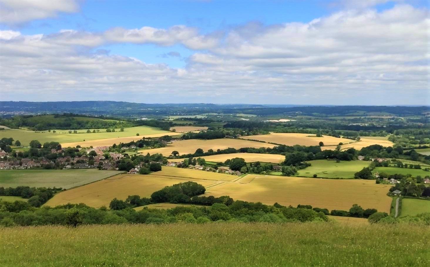
Bus station hiking trails around Lurgashall navigate a landscape characterized by rolling hills and open heathland within the South Downs National Park. The area features ancient woodlands, such as Lord's Wood, and diverse river valleys, including the River Lod. Varied terrain offers routes through forests, fields, and along water bodies like Mill Pond, which is part of a Local Nature Reserve. This region provides a network of paths through quintessential English countryside.
Best bus station hiking trails around Lurgashall
- The…
Last updated: July 1, 2026
4.9
(7)
32
hikers
Moderate hike. Good fitness required. Easily-accessible paths. Suitable for all skill levels.
5.0
(3)
8
hikers
14.0km
03:50
220m
220m
Moderate hike. Good fitness required. Easily-accessible paths. Suitable for all skill levels.

Sign up for free
3.5
(2)
9
hikers
Easy hike. Great for any fitness level. Easily-accessible paths. Suitable for all skill levels.
6
hikers
20.2km
05:25
240m
240m
Hard hike. Very good fitness required. Easily-accessible paths. Suitable for all skill levels.
4.0
(1)
4
hikers
Easy hike. Great for any fitness level. Easily-accessible paths. Suitable for all skill levels.
Get access to more routes and recommendations from other explorers.
Sign up for free
Already have an account?
Our route recommendations are based on thousands of hikes, rides, and runs completed by other people on komoot.
Start today with a free account
Your next adventure awaits.
Login or Signup
Popular around Lurgashall
Other adventures around Lurgashall

Tips from the Community

A host of trails, we circumnavigated the outer boundary of the park, starting from Petworth House. The South West corner had some boggy areas, but this September , nearly all of the park was dry underfoot
0
0

Lurgashall is known for its quintessential English village charm, with its triangular village green hosting cricket games, country pub and white fingerpost signs. It has a population of around 600 people.
0
0

The views over the water of Upper Pond are beautiful. Such a stunning place to stop for a while and take stock of your surroundings.
1
0

Super small village that sits between Lodsworth and Fernhurst, wide fast rolling roads surround it.
0
0

Upper Pond is a picturesque stretch of water that’s surrounded by lush parkland and ancient oaks. From this spot, you get a view of Petworth House across the water.
4
1
Petworth Deer Park is a stunning country parkland that boasts ancient oak trees, scenic ponds, stunning architecture and, of course, a magnificent herd of fallow deer that has roamed the land for half a century. Hailed as one of the finest surviving and unspoilt examples of an English landscape, the parkland was designed by Lancelot ‘Capability’ Brown in the 18th century.
1
0

Tunnel under the gardens not the deer park (gates locked at 8pm BST and 6PM GMT)
0
0
Frequently Asked Questions
How many bus-accessible hiking trails are available around Lurgashall?
There are 10 hiking trails around Lurgashall that are easily accessible by bus, offering a variety of distances and difficulties to explore the beautiful South Downs National Park.
Are there easy hiking trails suitable for beginners or families starting from Lurgashall's bus stops?
Yes, Lurgashall offers 3 easy hiking trails perfect for beginners or families. A great option is the Lugarshall Green – Noah's Ark Inn loop from Lurgashall, which is just over 4 km long with minimal elevation gain, taking you through pleasant local scenery.
What kind of landscapes can I expect to see on bus-accessible hikes in Lurgashall?
Hikes around Lurgashall offer a diverse range of landscapes, from rolling hills and open heathland to ancient woodlands like Lord's Wood and Gentles Copse. You'll also encounter peaceful river valleys, wetland areas such as Mill Pond, and diverse grasslands. Many routes provide expansive views of the surrounding countryside, especially from higher points.
Are there any circular routes available from Lurgashall's bus stops?
Yes, many of the bus-accessible trails around Lurgashall are circular, allowing you to start and end at the same point. For example, the Lugarshall Green – Noah's Ark Pub, Lurgashall loop from Lurgashall is a moderate 8.4 km circular route that takes you through varied terrain.
What interesting landmarks or natural features can I see along these trails?
The trails around Lurgashall offer several points of interest. You might encounter the atmospheric Mill Pond, a Local Nature Reserve known for its birdlife, or enjoy panoramic views from the Temple of the Wind Viewpoint. Other notable features include the Hydon's Ball Summit and the tranquil South Pond, Midhurst.
Are the bus-accessible hiking trails in Lurgashall dog-friendly?
Many trails in the Lurgashall area are dog-friendly, allowing you to enjoy the outdoors with your canine companion. However, always keep dogs under control, especially near livestock or in nature reserves. A good option for a walk with your dog is the Noah's Ark Pub, Lurgashall – Lugarshall Green loop from Lurgashall.
What do other hikers enjoy most about hiking in Lurgashall?
The area is highly rated by the komoot community, with an average score of 4.6 stars. Reviewers often praise the quiet woodlands, the diverse scenery ranging from rolling hills to peaceful river valleys, and the well-maintained network of trails that make exploring accessible and enjoyable.
Are there any longer or more challenging bus-accessible hikes from Lurgashall?
For those seeking a longer challenge, the View of Upper Pond – Petworth Deer Park loop from Lurgashall is a difficult 20 km route with significant elevation gain. This trail offers an extensive exploration of the wider area, including views towards Petworth Deer Park.
Can I find pubs or cafes near the bus stops or along the hiking routes in Lurgashall?
Yes, Lurgashall village has local establishments like the Noah's Ark pub, which can serve as a convenient starting or ending point for your hike, or a place to refuel. The Lugarshall Green – The Duke of Cumberland Arms loop from Lurgashall is another route that passes by a local pub, offering a chance for refreshments.
What is the best time of year to hike around Lurgashall?
Lurgashall offers enjoyable hiking year-round. Spring brings blooming wildflowers, while summer provides lush greenery. Autumn is particularly beautiful with changing foliage and the chance to spot colorful waxcap fungi on the village green. Winter hikes can be crisp and clear, offering different perspectives of the landscape, though some paths may be muddy.
Most popular attractions around Lurgashall

Get inspired with the komoot mobile app


Explore more
Browse the best Hikes in other regions.
