The best hikes from bus stations around Graffham
4.6
(1341)
8,192
hikers
13
hikes
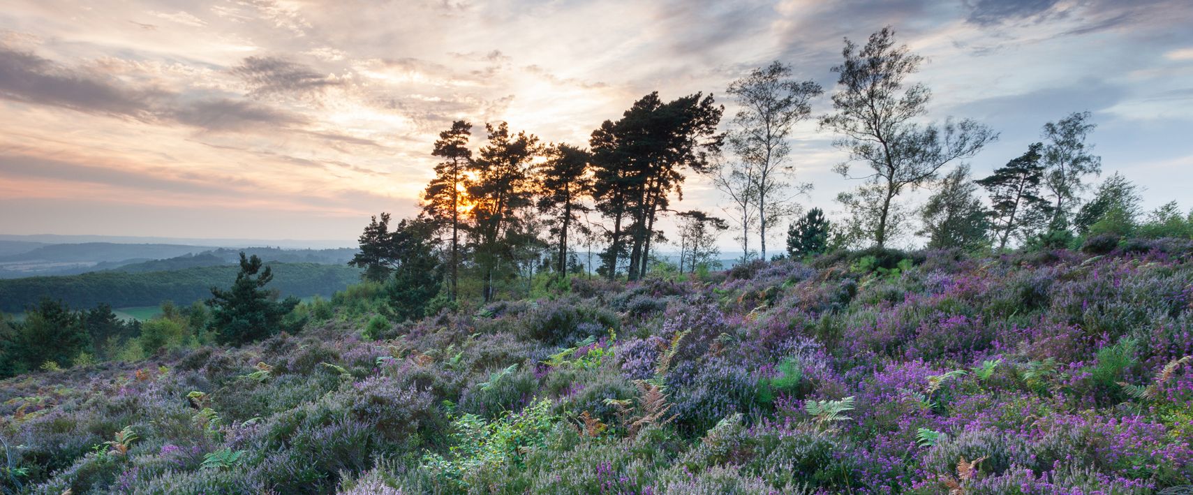
Bus station hiking trails around Graffham are situated within the South Downs National Park, characterized by chalk hills, ancient woodlands, and diverse heathland. The region features several nature reserves, including Graffham Common and Graffham Down, offering varied terrain. Paths often traverse rolling countryside, with some routes following the River Rother or ascending to viewpoints over the agricultural landscape. This area provides a network of trails suitable for different hiking preferences.
Best bus station hiking trails around Graffham
- The most popular…
Last updated: August 24, 2026
5.0
(5)
25
hikers
8.20km
02:24
200m
200m
Moderate hike. Good fitness required. Easily-accessible paths. Suitable for all skill levels.
5.0
(3)
17
hikers
14.0km
03:52
240m
240m
Moderate hike. Good fitness required. Easily-accessible paths. Suitable for all skill levels.

Sign up for free
4.8
(5)
17
hikers
13.2km
03:27
100m
100m
Moderate hike. Good fitness required. Easily-accessible paths. Suitable for all skill levels.
3
hikers
26.0km
07:30
620m
620m
Hard hike. Very good fitness required. Easily-accessible paths. Suitable for all skill levels.
4.7
(3)
9
hikers
9.36km
02:29
90m
90m
Moderate hike. Good fitness required. Easily-accessible paths. Suitable for all skill levels.
Get access to more routes and recommendations from other explorers.
Sign up for free
Already have an account?
Our route recommendations are based on thousands of hikes, rides, and runs completed by other people on komoot.
Start today with a free account
Your next adventure awaits.
Login or Signup
Popular around Graffham
Other adventures around Graffham

Tips from the Community

Great place , seating outside and inside and they serve coffee in mugs :-D
0
0


Dante- By the South Pond there is this wonderful statue of Dante.
0
0

Glatting Beacon is situated just off the South Downs Way, but is just a short detour if you want to bag another trig point on your hike. It is at the base of some radio masts and surrounded by forest, so don't expect a view.
0
0
A decent enough area with a trig pointed top. One of many trig points along the South Downs Way.
0
0
Great cafe, friendly staff, nice outside seating, and a great atmosphere inside. However, see the comfy seats; you're going to need them to sit down if you have a can of Coke at £2.50 a can!
0
0
View across feom Worthing to Isle of Wight. Good link to the Sourh Downs.
0
0
Frequently Asked Questions
How many bus station hiking trails are available around Graffham?
There are 13 bus station hiking trails around Graffham, offering a variety of experiences. These routes are designed to be accessible via public transport, allowing you to explore the beautiful South Downs National Park without needing a car.
Are there any easy bus station hikes suitable for beginners or families in Graffham?
Yes, Graffham offers a couple of easy bus station hikes perfect for beginners or families. These routes typically feature gentler terrain and shorter distances, allowing everyone to enjoy the scenic beauty of the area. Look for routes marked as 'easy' to find the most suitable options.
What kind of landscapes can I expect on bus station hikes around Graffham?
The bus station hikes around Graffham traverse a diverse range of landscapes within the South Downs National Park. You can expect to encounter iconic chalk hills, ancient woodlands, and restored heathlands like Graffham Common. Some paths also offer expansive views across the rolling countryside and agricultural fields, while others might follow the course of the River Rother.
Are there any circular walks starting from a bus station in Graffham?
Yes, many of the bus station hikes around Graffham are circular, allowing you to start and end your journey at the same point. An example is the Picnic Spot Off the Main Path – View of South Downs loop from Graffham, which offers an ascent to a viewpoint. Another great option is the Flint Barn Café – Cadence Café loop from Graffham, combining woodland and open downland.
Can I find bus station hikes that include a pub lunch stop in Graffham?
Absolutely! Graffham and its surrounding villages are home to charming country pubs perfect for a mid-hike refreshment or a post-walk meal. The Flint Barn Café – Cadence Café loop from Graffham is designed to pass by local establishments, and other routes often lead through villages with welcoming pubs like The Forester's Arms or The Three Moles.
Are there any bus station hikes with good viewpoints in the Graffham area?
Many bus station hikes in the Graffham area offer excellent viewpoints, especially those that ascend the chalk escarpment of the South Downs. The Picnic Spot Off the Main Path – View of South Downs loop from Graffham provides a fantastic vista. For a more challenging option with extensive views, consider the View from Glatting Beacon – Stane Street Roman Road loop from Graffham, which reaches the prominent Glatting Beacon.
What do other hikers enjoy most about the bus station trails around Graffham?
The bus station trails around Graffham are highly rated by the komoot community, with an average score of 4.7 out of 5 stars from over 1100 ratings. Reviewers often praise the diverse scenery, the accessibility of trails via public transport, and the well-maintained paths that lead through ancient woodlands and offer expansive views of the South Downs.
Are there any historical sites or landmarks accessible on bus station hikes?
Yes, you can incorporate historical sites into your bus station hikes. For example, the Cowdray Ruins Bridge – Cowdray Heritage Ruins loop from South Ambersham takes you past the impressive Cowdray Heritage Ruins. Other routes might pass by ancient Roman roads or offer glimpses of historical architecture in the villages.
Can I find bus station hikes that explore nature reserves or unique natural features?
Absolutely. The region is rich in natural beauty. The Graffham Village Shop – Graffham Common loop from Selham allows you to explore Graffham Common, a significant nature reserve known for its heathland and diverse wildlife. You might also encounter features like Burton Mill Pond, an atmospheric hammer pond recognized for its wetland habitats.
What is the best time of year to go hiking from bus stations in Graffham?
Graffham offers enjoyable hiking year-round. Spring brings vibrant wildflowers and fresh greenery, while summer provides long daylight hours for extended walks. Autumn showcases stunning foliage, and even winter offers crisp, clear days with unique views across the South Downs. Always check local weather forecasts before heading out, as conditions can vary.
Are bus station hikes around Graffham suitable for dog walkers?
Many of the trails around Graffham are dog-friendly, allowing you to enjoy the beautiful scenery with your canine companion. However, always keep dogs under control, especially when passing through livestock fields or nature reserves to protect local wildlife. Look for specific route details on komoot for any restrictions or recommendations regarding dogs.
Most popular routes around Graffham
Most popular attractions around Graffham

Get inspired with the komoot mobile app


Explore more
Browse the best Hikes in other regions.
