The best hikes from bus stations around Bramber
4.6
(1488)
12,689
hikers
18
hikes
Bus station hiking trails around Bramber offer access to the diverse landscapes of the South Downs National Park. The region is characterized by the meandering River Adur, providing riverside paths, and a mix of rural English countryside, open meadows, and woodlands. Notable features include the chalkland dry valley of Devil's Dyke and the historic Chanctonbury Ring hillfort, both offering elevated views. The area's terrain varies from gentle river paths to more undulating routes within the national park, with elevation gains…
Last updated: May 19, 2026
3.9
(15)
47
hikers
Easy hike. Great for any fitness level. Easily-accessible paths. Suitable for all skill levels.
4.0
(4)
22
hikers
Moderate hike. Good fitness required. Easily-accessible paths. Suitable for all skill levels.

Sign up for free
3.3
(3)
27
hikers
Easy hike. Great for any fitness level. Easily-accessible paths. Suitable for all skill levels.
5.0
(1)
17
hikers
7.49km
02:04
120m
120m
Moderate hike. Good fitness required. Easily-accessible paths. Suitable for all skill levels.
4.7
(3)
9
hikers
Easy hike. Great for any fitness level. Easily-accessible paths. Suitable for all skill levels.
Get access to more routes and recommendations from other explorers.
Sign up for free
Already have an account?
Our route recommendations are based on thousands of hikes, rides, and runs completed by other people on komoot.
Start today with a free account
Your next adventure awaits.
Login or Signup


Tips from the Community

Very picturesque. Check out the view from the bridge.
0
0

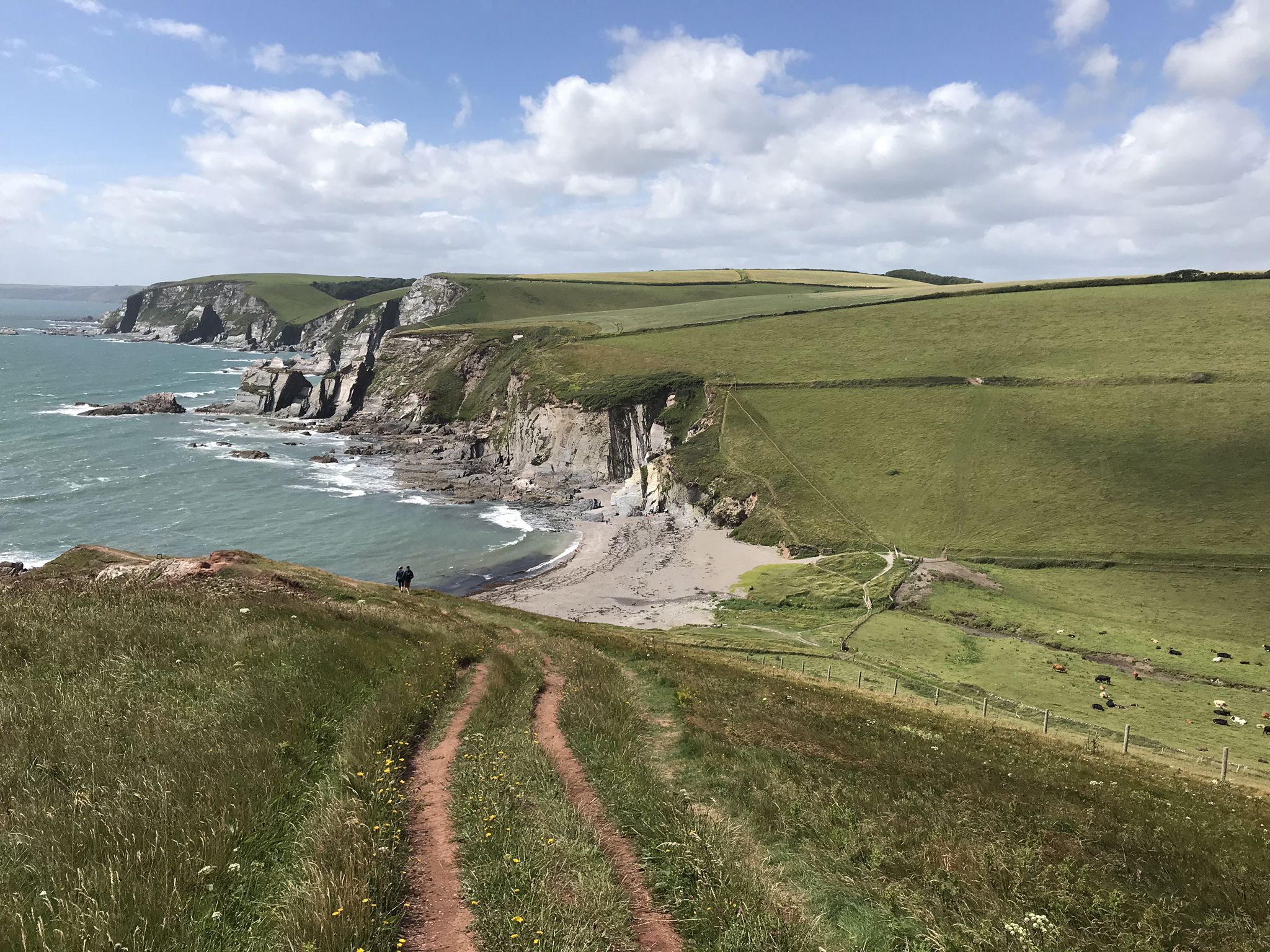
The bridleway that climbs up from Castle Town to join the South Down's Way below Beeding Hill provides fantastic views across the weald. Look out for the remnants of ancient cultivation ditches just downhill of the path.
0
0

The remains of this Norman castle are perched on a high natural knoll overlooking the River Adur, defending a gap in the South Downs. Built soon after the Norman Conquest to help protect William I’s newly won territories, the castle was the Sussex seat of the de Braose family.
0
0


A 'Sixpath' or a crossing of six footpaths sits on the Monarch's Way high above Shoreham On Sea. It literally joins and provides access to all of the local hiking routes. With commanding views you can see far out over the South Downs National Park and out into the English Channel. There is even a bench to enjoy it from. Apart from that it's not a bad spot!
1
0
The Downs Link is a beautiful long-distance route for walkers, horse riders, and cyclists that follows two disused railway lines. It crosses the Surrey Hills, the Low Weald, the South Downs, and the Coastal Plain. Since the trains departed in the 1960s, the embankments and cuttings have become a green corridor for wildlife and people.
2
0

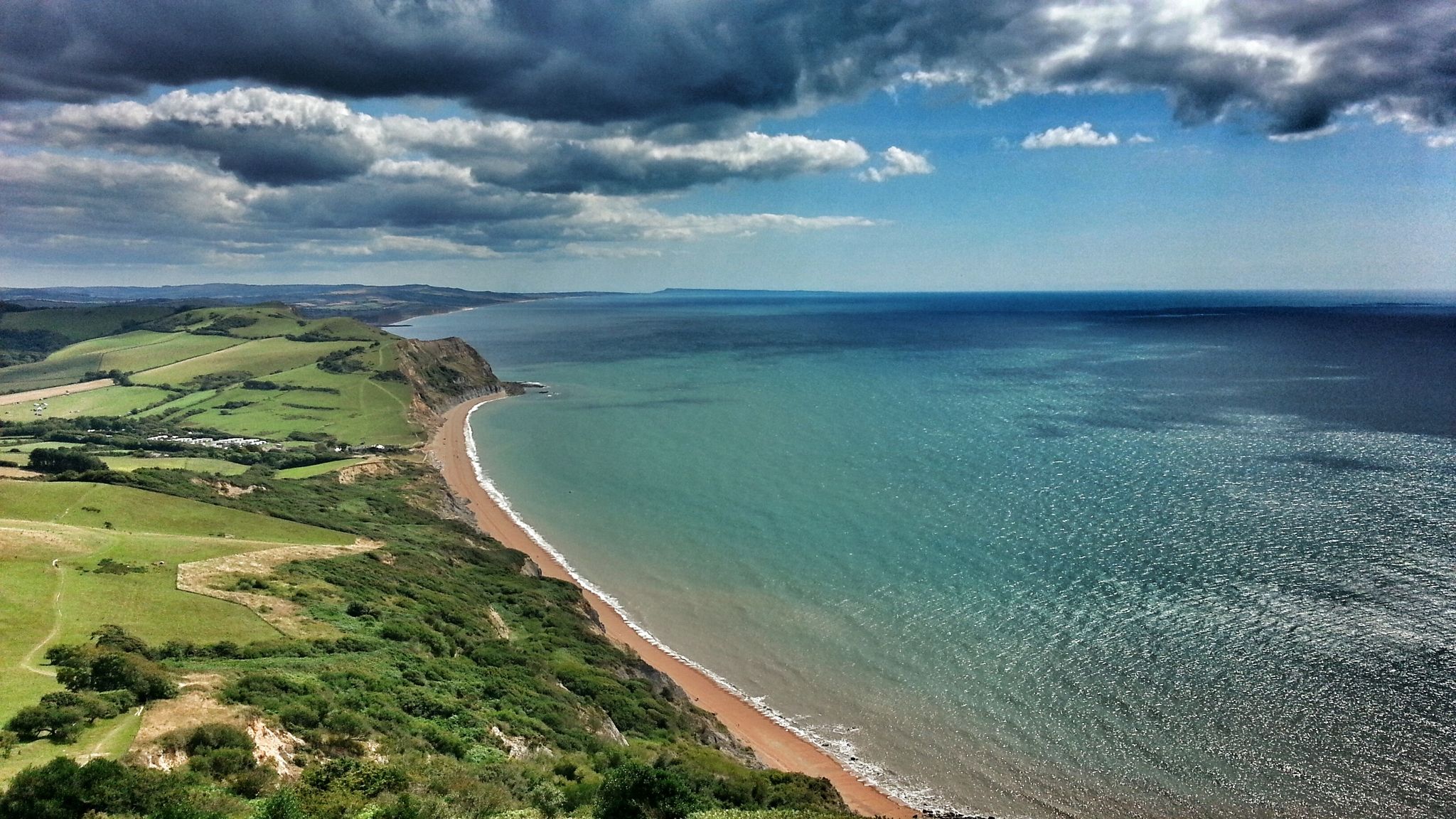
A six-way footpath crossing stands high on the South Downs, providing access to many excellent hiking routes. The views from here span as far as the eye can see, including over the beautiful Sussex countryside and out to the English Channel.
3
0
Frequently Asked Questions
How many hiking trails are accessible from bus stations around Bramber?
There are 18 hiking trails in the Bramber area that are easily accessible from bus stations. These routes offer a range of difficulties, with 8 easy, 8 moderate, and 2 difficult options to choose from.
What kind of terrain can I expect on bus-accessible hikes near Bramber?
Hikes around Bramber accessible by bus feature a diverse landscape. You'll find peaceful riverside paths along the River Adur, sections of the Downs Link, and trails leading into the rolling hills of the South Downs National Park, offering a mix of rural English countryside, meadows, and woodlands.
Are there any easy, family-friendly walks from Bramber bus stops?
Yes, Bramber offers several easy, family-friendly walks. An excellent option is the Down Links loop along the Adur from Brambar Castle, which is just under 6 km with minimal elevation gain. Another gentle route is the Bramber Castle and High Street – St Mary's House and Gardens loop, which is under 3 km.
Can I find circular routes starting from bus stations in Bramber?
Many of the bus-accessible routes around Bramber are circular, allowing you to start and end your hike at the same point, often conveniently near a bus stop. For example, the Down Links loop along the Adur from Brambar Castle is a great circular option.
What historical landmarks can I see on hikes near Bramber bus stations?
Several hikes from Bramber bus stations pass by significant historical landmarks. You can explore the fascinating Bramber Castle Ruins, a Norman structure with a visible gatehouse tower. Further afield, you might encounter the ancient Chanctonbury Ring hillfort or Cissbury Ring Hill Fort.
Are there any viewpoints or scenic spots on bus-accessible trails?
Yes, the region offers several scenic viewpoints. The Downs Link at Botolphs provides lovely views. For more expansive vistas, consider routes that lead towards Chanctonbury Ring hillfort or Chantry Hill, which offer sublime views over the South Downs countryside.
What do other hikers enjoy most about hiking in Bramber?
The hiking trails around Bramber are highly rated by the komoot community, with an average score of 4.6 stars from over 1300 ratings. Reviewers often praise the diverse landscapes, the historical attractions like Bramber Castle, and the peaceful riverside paths along the River Adur.
Are there any accessible routes for people with impaired mobility or pushchairs?
Yes, the River Adur offers a 2.2-mile surfaced route that is accessible for people with impaired mobility, wheelchairs, and pushchairs. This path provides a peaceful stroll with opportunities to observe local wildlife.
Can I combine a hike with a visit to a garden or house?
Yes, some routes incorporate local attractions like St Mary's House and Gardens. The St Mary's House and Gardens – Downs Link at Botolphs loop from Steyning is an easy option that passes by this notable local feature.
What is the best time of year to hike around Bramber?
Bramber offers enjoyable hiking year-round. Spring and summer bring wildflowers and butterflies, especially around areas like Devil's Dyke. Autumn provides beautiful foliage, while winter walks can be crisp and clear, offering different perspectives of the landscape. Always check local weather conditions before heading out.
Are there any longer, more challenging routes accessible by bus?
For those seeking a moderate challenge, the Bramber Castle and High Street – Bramber Castle Ruins loop from Steyning is a good option, covering over 10 km with some elevation. Another moderate route is the Downs Link – Bridleway Below Beeding Hill loop from Steyning, which includes more significant elevation changes.
Most popular routes around Bramber
Most popular attractions around Bramber

Get inspired with the komoot mobile app


Explore more
Browse the best Hikes in other regions.
