The best hikes from bus stations around Nether Stowey
4.5
(581)
3,928
hikers
17
hikes
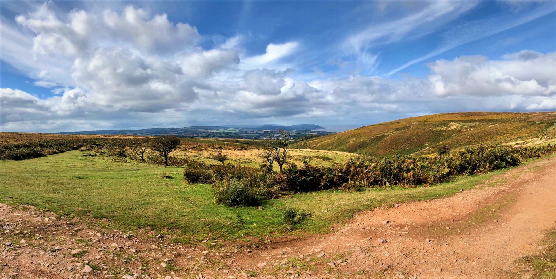
Hiking around Nether Stowey offers access to diverse landscapes at the foot of the Quantock Hills, England's first Area of Outstanding Natural Beauty. The region features rolling hills, expansive moorland, ancient woodlands, and picturesque combe valleys. Hikers can explore varied terrain, including deciduous and coniferous forests, open heathlands, and coastal scenery with views towards the Bristol Channel. The area provides a network of trails suitable for different experiences, from gentle strolls to more challenging climbs.
Best bus station hiking trails…
Last updated: July 1, 2026
4.7
(3)
16
hikers
13.3km
03:52
350m
350m
Moderate hike. Good fitness required. Easily-accessible paths. Suitable for all skill levels.
5.0
(1)
9
hikers
14.3km
04:06
350m
350m
Moderate hike. Good fitness required. Easily-accessible paths. Suitable for all skill levels.

Sign up for free
2.7
(3)
11
hikers
8.50km
02:30
240m
240m
Moderate hike. Good fitness required. Easily-accessible paths. Suitable for all skill levels.
4.5
(2)
8
hikers
10.7km
02:50
100m
100m
Moderate hike. Good fitness required. Easily-accessible paths. Suitable for all skill levels.
3
hikers
18.5km
05:18
460m
460m
Hard hike. Very good fitness required. Easily-accessible paths. Suitable for all skill levels.
Get access to more routes and recommendations from other explorers.
Sign up for free
Already have an account?
Our route recommendations are based on thousands of hikes, rides, and runs completed by other people on komoot.
Start today with a free account
Your next adventure awaits.
Login or Signup
Popular around Nether Stowey
Other adventures around Nether Stowey

Tips from the Community

No kidding, beautiful deciduous forest all the way, until it opens out onto open moor land. A proper multi stage climb, lots of intermediate shallow sections to catch the breath, and a great surface throughout. Good descent with few blind corners. I descended around midday on a bank holiday and encountered a dad and child doing the climb - fair play - and one car, when you can hear how busy the A39 is in the distance. So safe to say usually quiet.
1
0

The river that flows down Holford Combe is very pretty. The steep wooded valley has a wide flat base with the river and trail flowing down it, perfect for a picnic or to stop for a play with the kids.
3
0

Heading west from the Triscombe Stone, you will find yourself on a Saxon Army route, or ‘herepath’, known as King Alfred’s Way, marking his route to resist Viking invasion in the 9th century. Also known as The Drove Road, for centuries, the route was well-used by local farmers moving cattle and sheep to the market in Taunton.
1
0
Holford is a village in West Somerset within the Quantock Hills, an Area of Outstanding Natural Beauty that is worth every visit .
1
1

This is where part of the video was filmed for 'that' Bryan Adams song. Was very overgrown and unable to get closer due to it being privately owned but can see it from the road at the top
2
0

Bin Combe is a beautiful little forest located on the eastern edge of the magnificent Quantock Hills. The forest is made up of oak and birch and homes a variety of different wildlife species, including a rare orange and brown butterfly that visits between May and September.
2
0
Frequently Asked Questions
How many hiking trails are accessible from bus stations around Nether Stowey?
There are nearly 20 hiking routes around Nether Stowey that are easily accessible from local bus stations. These trails offer a range of difficulties, including easy strolls, moderate loops, and some more challenging climbs, ensuring options for various fitness levels.
What do other hikers enjoy most about the trails around Nether Stowey?
The hiking trails around Nether Stowey are highly rated by the komoot community, with an average score of 4.5 stars from over 540 reviews. Hikers frequently praise the diverse and scenic landscapes, including rolling hills, ancient woodlands, and expansive moorland of the Quantock Hills. The historical interest, such as the Coleridge Way and Stowey Castle, also receives positive feedback.
Are there any easy, family-friendly routes from Nether Stowey bus stations?
Yes, there are several easy routes suitable for families. While specific family-friendly routes are not detailed here, the area offers many gentle paths and shorter loops perfect for a leisurely walk. The immediate surroundings of Nether Stowey and the grounds of Stowey Castle are known for easier trails. Always check the route details for elevation and terrain to ensure it suits your family's needs.
Can I find circular hiking routes starting from Nether Stowey bus stops?
Many of the trails accessible from Nether Stowey bus stations are circular, allowing you to return to your starting point without retracing your steps. For example, the Holford Village – Holford Combe loop from Nether Stowey is a moderate circular route that takes you through picturesque combe valleys. Another option is the Bin Combe – Holford Village loop from Nether Stowey, offering similar scenic views.
What natural features and viewpoints can I expect to see on these trails?
The trails offer stunning natural beauty. You can explore picturesque combe valleys like Holford Combe, which features ancient woodland and streams. For panoramic views, routes often lead to high points such as Wills Neck Summit, the highest point in the Quantocks, or Beacon Hill Trig Point, offering extensive vistas across the Somerset Levels and towards the Bristol Channel.
Are there any historical landmarks or points of interest along the bus-accessible hiking routes?
Absolutely. Many routes incorporate historical elements. The Stowey Castle Ruins – Stogursey Castle loop from Nether Stowey takes you past the ruins of Stowey Castle, a Norman motte and bailey castle with historical significance. The famous Coleridge Way, a long-distance trail tracing the paths of Romantic poets, also begins in Nether Stowey, offering a glimpse into the region's literary past. You can learn more about the castle at Nether Stowey Castle.
Are the hiking trails around Nether Stowey bus stations dog-friendly?
Many of the trails in the Quantock Hills area are dog-friendly, allowing you to enjoy your hike with your canine companion. However, it's always recommended to keep dogs on a lead, especially when passing through livestock areas or nature reserves, to protect wildlife and farm animals. Always check specific route details for any restrictions.
What is the best season for hiking from Nether Stowey bus stations?
The Quantock Hills offer beautiful hiking experiences year-round. Spring brings vibrant wildflowers and lush greenery, while autumn showcases stunning foliage. Summer is ideal for longer days and warmer weather, though trails can be busy. Winter offers crisp air and unique views, but some paths might be muddy or slippery. Always check weather conditions before heading out.
Are there any long-distance paths that can be accessed from Nether Stowey bus stations?
Yes, Nether Stowey is a significant starting point for long-distance paths. The renowned Coleridge Way, a 51-mile trail spanning the Quantocks, Brendon Hills, and Exmoor, begins right in the village. This allows hikers to embark on sections of this historic route directly from bus-accessible points.
Are there any pubs or cafes along the hiking routes from Nether Stowey bus stations?
While specific pubs or cafes directly on every route are not listed, Nether Stowey itself has local establishments where you can refuel before or after your hike. Many villages within the Quantock Hills, which these bus-accessible routes traverse, also offer charming pubs and tea rooms. It's advisable to check opening times and locations beforehand if you plan to stop.
What kind of terrain can I expect on the moderate difficulty trails?
Moderate trails around Nether Stowey, such as the View of Quantock Hills – Bin Combe Forest Path loop from Nether Stowey, typically involve varied terrain. You can expect a mix of historic paths, woodland tracks, open heathland, and some gradual ascents and descents. These routes are generally well-maintained but may include uneven surfaces, requiring a reasonable level of fitness and appropriate footwear.
Most popular routes around Nether Stowey
Most popular attractions around Nether Stowey

Get inspired with the komoot mobile app


Explore more
Browse the best Hikes in other regions.
