The best traffic-free bike rides around Bewdley
3.3
(6)
82
riders
6
rides
No traffic touring cycling routes around Bewdley offer diverse terrain, from the ancient woodlands of Wyre Forest to the flat riverside paths along the River Severn. The region features a mix of forest roads, gravel paths, and undulating hills, providing varied elevation changes for cyclists. Disused railway lines also contribute to the network of relatively flat, traffic-free sections. This landscape provides a range of experiences for touring cyclists, from leisurely rides to more challenging climbs.
Best no traffic touring cycling routes around Bewdley
- The most popular no traffic touring cycling route is Wyre Forest Wooden Bridge – Wyre Forest loop from Bewdley, a 13.4 miles (21.6 km) trail that takes 1 hour 43 minutes to complete. This moderate route immerses cyclists in the expansive ancient woodland.
- Another top favourite among local touring cyclists is Kinver loop from Bewdley, a difficult 44.4 miles (71.5 km) path. This route explores undulating hills and offers more strenuous climbs for experienced touring cyclists.
- Local touring cyclists also love the Wyre Forest Wooden Bridge – Route 45 Old Railway Line loop from Bewdley, a 10.2 miles (16.4 km) trail leading through Wyre Forest, often completed in about 1 hour 14 minutes.
- Touring cycling around Bewdley is defined by ancient woodlands, the meandering River Severn, and undulating hills. The network offers options for different ability levels, from easy riverside paths to more challenging forest climbs.
- The routes in Bewdley are highly rated by the komoot community with an average score of 3.6 stars from more than 10 reviews. More than 300 touring cyclists have used komoot to explore Bewdley's varied terrain.
Last updated: August 24, 2026
71.5km
04:47
730m
730m
Embark on the Kinver loop from Bewdley, a challenging touring cycling adventure that winds through a diverse landscape of ancient woodlands, meandering rivers, and rolling hills. This difficult route covers 44.4 miles (71.5 km) and features a significant elevation gain of 2386 feet (727 metres), typically taking around 4 hours and 46 minutes to complete. You will cycle through the expansive Wyre Forest, one of England's largest ancient oak woodlands, and follow the scenic River Severn. As you approach Kinver, prepare for dramatic views over the Clent Hills, Shropshire Hills, Wenlock Edge, and the Malvern Hills from the high sandstone ridges of Kinver Edge. The terrain varies from paved roads to forest tracks and riverside paths, with some unpaved and technical sections, especially on Kinver Edge, which can be muddy with exposed roots.
When planning your ride, be aware that while much of the route is paved, you will encounter forest roads, natural tracks, and riverside paths. Some segments are unpaved and difficult, and you might need to push your bike at times, particularly on Kinver Edge where conditions can be technical, muddy, and feature exposed roots, especially in winter. Both Bewdley and Kinver villages provide convenient stops for refreshments, with cafes and pubs available. This popular route is best enjoyed when you are prepared for varied surfaces and a demanding physical effort.
This loop is recognized as the most popular touring cycling route in the Bewdley vicinity, offering a rewarding experience for those with very good fitness. A highlight of the journey is Kinver Edge, famous for its unique Rock Houses, which are cave dwellings carved into the sandstone, alongside an Iron Age hillfort. You will also have the unique opportunity to cycle alongside the historic Severn Valley Railway, a heritage steam railway, and can even incorporate a ride on it into your plans. The route also passes by the River Stour and the Staffordshire and Worcestershire Canal, adding to its rich natural and historical context.
15
riders
12.5km
01:02
180m
180m
Moderate bike ride. Good fitness required. Mostly paved surfaces. Suitable for all skill levels.

Sign up for free
4.0
(1)
14
riders
47.5km
03:29
560m
550m
Hard bike ride. Very good fitness required. You may need to push your bike for some segments of this route.
1.0
(1)
4
riders
6.88km
00:38
110m
110m
Easy bike ride. Great for any fitness level. Mostly paved surfaces. Suitable for all skill levels.
3
riders
46.5km
02:59
520m
520m
Hard bike ride. Very good fitness required. Mostly paved surfaces. Suitable for all skill levels.
Our route recommendations are based on thousands of hikes, rides, and runs completed by other people on komoot.
Start today with a free account
Your next adventure awaits.
Login or Signup
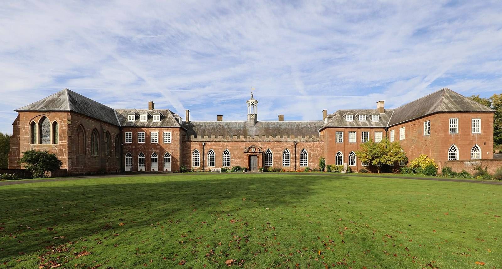
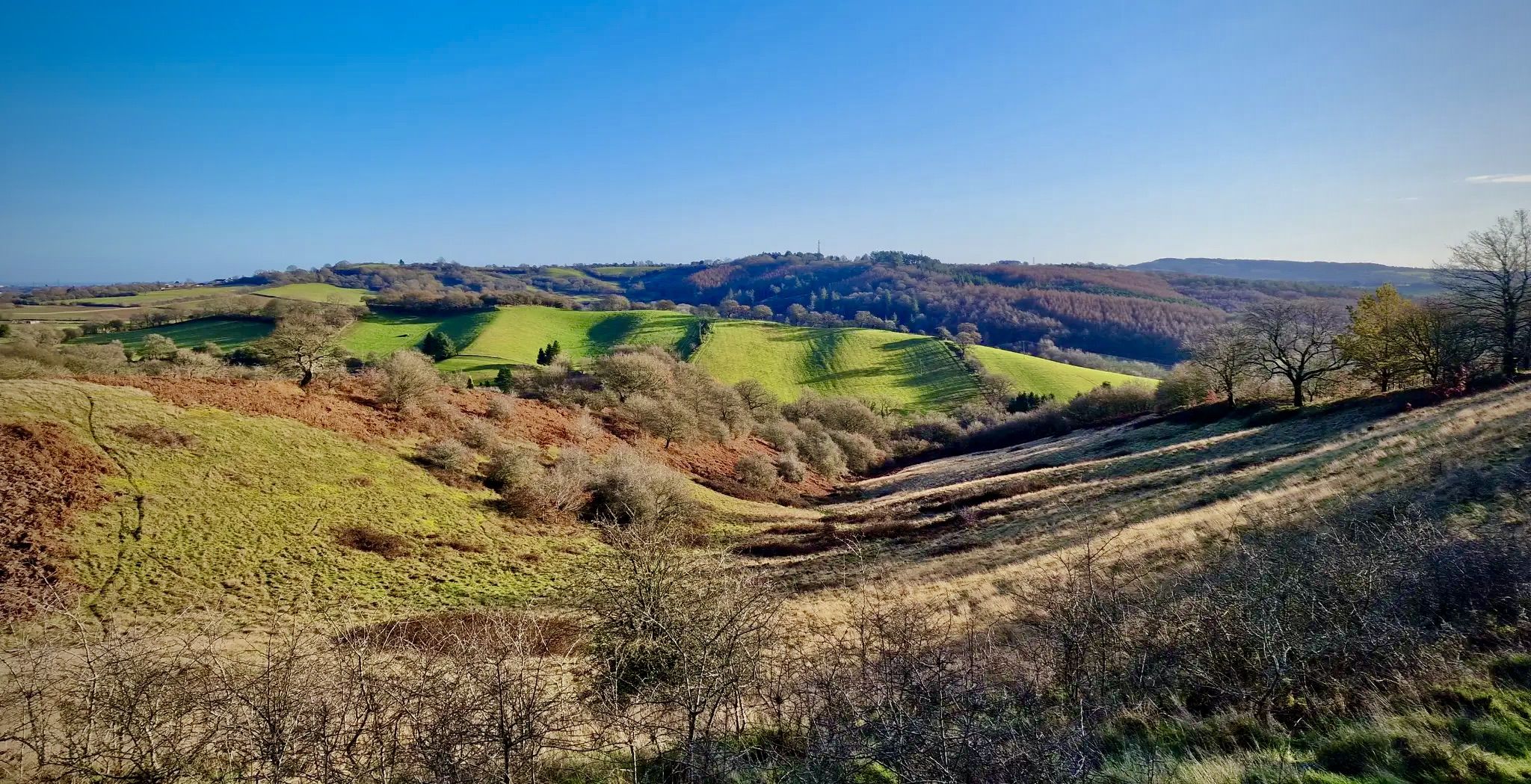
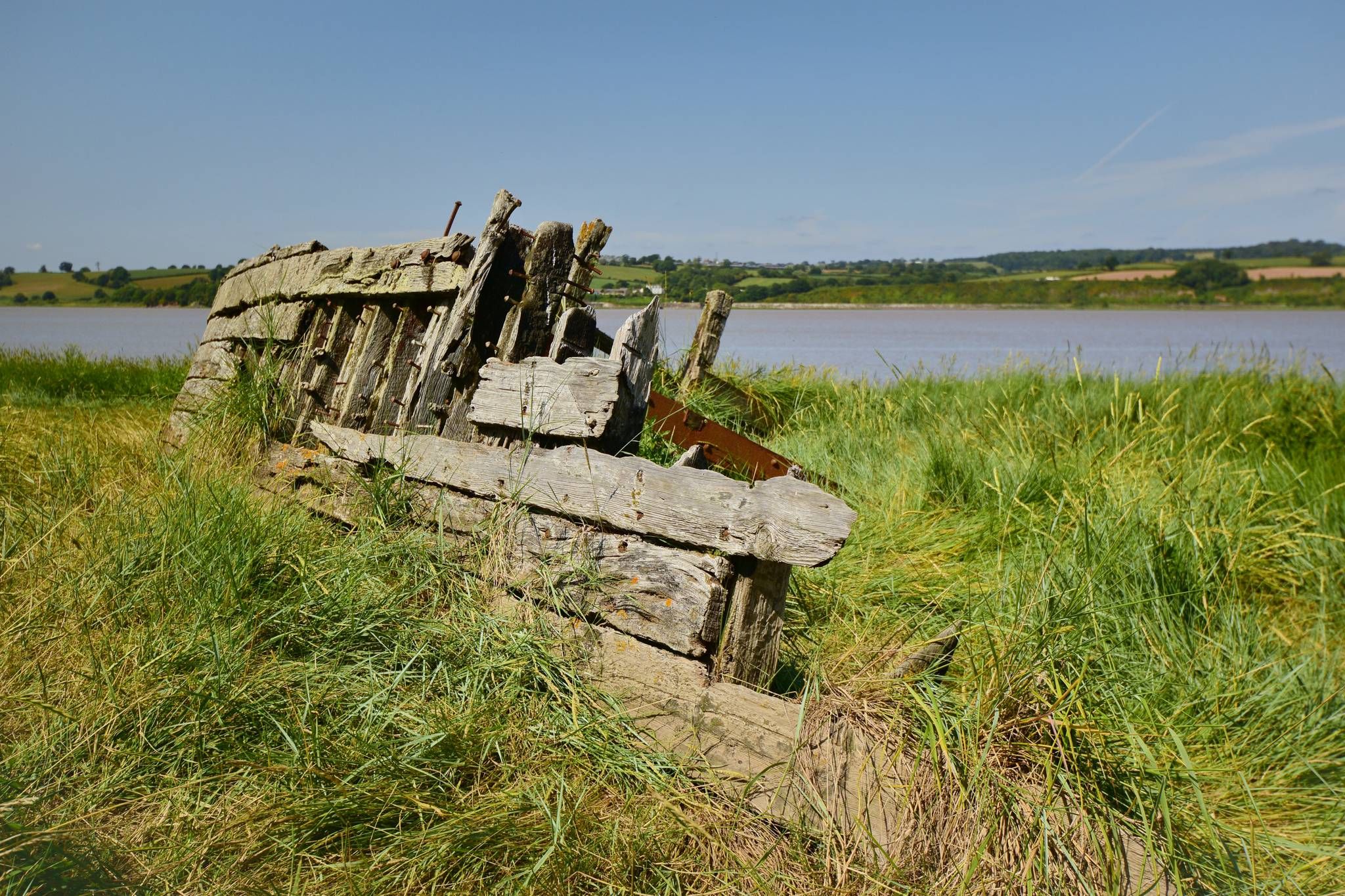
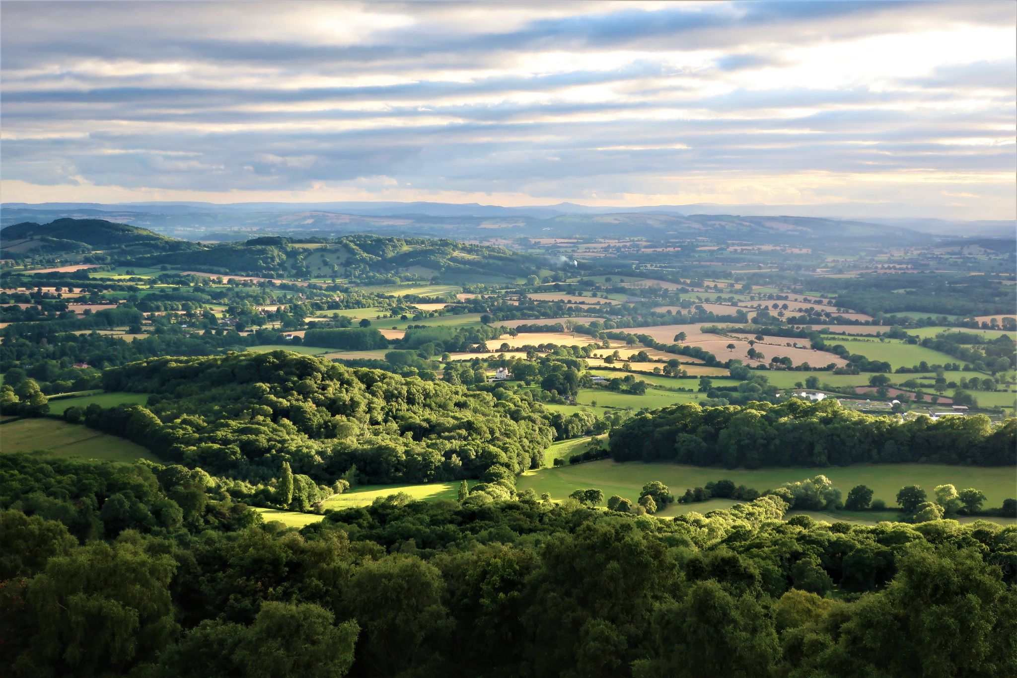
Other adventures around Bewdley


Tips from the Community

Very muddy in places and clearly frequented by the local horsey community cus it's covered in horse deposits
0
0


Bewdley was once an important inland port, connecting Shrewsbury with the Midlands and the seaports of Gloucester and Bristol. Originally the quays were shorter and had slipways between them. In time, as more landing space was needed, the quayside walls were joined into one continuous length. The larger boats, known as Severn Trows, carried local goods such as rope and charcoal, metal goods from Birmingham and Staffordshire pottery to the south. They returned laden with woollen cloth, wine, spirits, tobacco, sugar, spices, citrus fruit and dried fish to be sold in market towns across the West Midlands and Welsh borders. This civic space was developed when the Environment Agency built the Town's new flood defences, and incorporates work by artist Elizabeth-Jane Grose. On the lower quayside you can find flowing words relating to the river and the vessels that worked on it. On the upper quayside have a look for the 'cargo-plates' recording forty of the common and less common exports and imports to the Port of Bewdley. Source: Environment Agency
0
0
Bewdley Bridge over the Severn was built in 1798 by Thomas Telford. It was erected to replace the 1483 medieval bridge that was swept away in the floods of 1795.
0
0

The toposcope got a refresh a few years back with a granite replica of the original Welsh slate top that had weathered back. Now you can clearly work out where you are in relation to New York again! New York is a bit too far off on the horizon, but with the vantage that the 164m high point affords you, you will be treated to views of the Clent Hills, Shatterford Hill, Dudley, Wenlock Edge, Malvern Hills and the Shropshire Hills.
1
0
The ‘Wyre Forest Line’ formed a connection between the SVR at Bewdley and the Shrewsbury and Hereford Railway (S&HR) at Woofferton. The route encompassed two railways, the Tenbury Railway and the Tenbury & Bewdley Railway. Following the completion of the Tenbury & Bewdley Railway in 1864, the GWR took over the working of traffic over the Tenbury Railway section on behalf of the joint companies, with the LNWR also having running powers. As part of this process, the GWR telegraph system was extended to Woofferton; also the LNWR agreed to a turntable being installed at Tenbury to be paid for by the GWR. This turntable was moved from Bewdley and re-erected in the goods yard at Tenbury. (Some confusion has occurred in the past, as there was a small wagon turntable at Woofferton in its early days.) The completed line ran north from the GWR station at Bewdley on a single line track alongside the Severn Valley Line for a distance of about a mile before diverging to the west to cross the river Severn at Dowles Bridge (the viaduct referred to by Capt. Tyler), the remains of which are visible from trains on the SVR. The abutments where the line passed over what is now the B4194 remain in-situ. The line continued to Woofferton via Wyre Forest, Cleobury Mortimer, Neen Sollars, Newnham Bridge, Tenbury (later renamed Tenbury Wells) and Easton Court. The route acquired a number of names. A platform sign at Woofferton station referred to 'The Bewdley Branch', while passengers at Bewdley could take 'The Tenbury Branch'. Informally the route was often referred to as 'The Wyre Forest Line' or 'The Tenbury Line'. The Engineer's Line References were TBY for 'Tenbury & Bewdley' and WTW for 'Woofferton and Tenbury Wells', while the 1905 Ordnance Survey map describes it as the 'GW&L&NW Joint Railway - Woofferton & Tenbury' and the 'GWR - Tenbury & Bewdley Branch' One purpose of the Tenbury & Bewdley Railway was for freight traffic to gain access to the expanding markets of the West Midlands. However at the time of opening, this journey would require traveling to the SVR's southern terminus at Hartlebury, with a reversal to reach the West Midlands via Kidderminster. This was hampered by a lack of siding space at Hartlebury and resulted in frequent delays, leading to construction of the 'Kidderminster Loop Line' from Bewdley to Kidderminster. After the GWR built 'The Loop', the majority of services from Stourbridge and Kidderminster to Bewdley continued on the Wyre Forest Line. In January 1869, ownership of the Tenbury Railway was transferred jointly to the LNWR and GWR. It nominally remained an independent company until nationalisation in January 1948. The Tenbury & Bewdley Railway ceased to exist as a separate company when ownership was transferred to the GWR in February 1870. Both the GWR and the Tenbury Railway became part of British Railways' Western Region after nationalisation. In 1908 the Cleobury Mortimer and Ditton Priors Light Railway opened. This connected with the Tenbury & Bewdley Railway at Cleobury Mortimer and ran as a spur for 12½ miles to Ditton Priors.
0
0
Frequently Asked Questions
How many no-traffic touring cycling routes are available around Bewdley?
There are over 10 dedicated no-traffic touring cycling routes around Bewdley, offering a range of difficulties from easy to difficult. These routes allow you to explore the diverse landscapes of the area, including the Wyre Forest and the River Severn.
Are there easy, no-traffic touring cycling routes suitable for beginners in Bewdley?
Yes, Bewdley offers several easy, no-traffic routes perfect for beginners. For example, the Butterfly Trail – Route 45 Old Railway Line loop from Bewdley is an easy option, covering about 9.6 km with minimal elevation gain. These routes often follow disused railway lines or flat riverside paths, providing a gentle introduction to touring cycling.
What are some family-friendly no-traffic cycling routes in Bewdley?
For families, routes that utilize the flat riverside paths along the River Severn or sections of the National Cycle Network Route 45 through Wyre Forest are ideal. The Wyre Forest Wooden Bridge – Route 45 Old Railway Line loop from Bewdley is a moderate 16.3 km option that is popular with families, offering a safe and scenic experience away from traffic.
Can I find circular no-traffic touring cycling routes in the Bewdley area?
Many of the no-traffic touring cycling routes around Bewdley are designed as circular loops, allowing you to start and end at the same point. Examples include the Wyre Forest Wooden Bridge – Wyre Forest loop from Bewdley, which is a moderate 21.5 km ride, and the more challenging Kinver loop from Bewdley, a 71.5 km route with significant elevation.
Are dogs allowed on the no-traffic cycling routes around Bewdley?
Generally, dogs are welcome on many of the outdoor trails in the Bewdley area, especially within the Wyre Forest, provided they are kept under control, often on a lead. However, specific rules can vary by route or section, particularly on shared paths. Always check local signage and be considerate of other users and wildlife when cycling with your dog.
What kind of terrain can I expect on the no-traffic touring cycling routes?
The terrain varies significantly. You'll find flat, paved riverside paths along the River Severn, gravel tracks and forest roads within the Wyre Forest, and some undulating hills on routes leading away from the river, such as towards Kinver. Disused railway lines also provide relatively flat, traffic-free sections, offering a mix of surfaces suitable for touring bikes.
What attractions or landmarks can I see along these routes?
Many routes offer scenic views and pass by interesting landmarks. For example, you might cycle past the historic Bewdley Bridge, a Grade I listed structure, or the Victoria Bridge on the River Severn. Routes heading towards Kinver could bring you near Kinver Edge, known for its rock houses and unique landscape. The Wyre Forest itself is a major natural attraction.
Are there places to park near the no-traffic cycling routes in Bewdley?
Yes, Bewdley has several parking options. The Blackstone Picnic Site is a common starting point for some routes and offers parking. Additionally, the Wyre Forest Visitor Centre provides parking facilities, which are convenient for accessing the forest's network of trails, including sections of National Cycle Network Route 45.
What is the best time of year to go touring cycling in Bewdley?
Spring and autumn are generally considered the best times for touring cycling in Bewdley. The weather is usually milder, and the natural scenery, especially in Wyre Forest, is particularly vibrant with spring blossoms or autumn colours. Summer can also be pleasant, but routes may be busier. Winter cycling is possible, but some paths might be muddy or slippery, especially in the forest.
Are there cafes or pubs accessible from the no-traffic cycling routes?
Bewdley town centre, situated along the River Severn, offers numerous cafes, pubs, and restaurants where you can refuel. Many routes start or pass through Bewdley, making it easy to access these amenities. Within the Wyre Forest, the Visitor Centre also has facilities for refreshments. Planning your route can help identify suitable stops along the way.
What do other touring cyclists enjoy the most about touring cycling in Bewdley?
The area is highly rated by the komoot community, with an average score of 3.6 stars. Reviewers often praise the tranquility of the Wyre Forest routes, the picturesque riverside paths along the Severn, and the variety of terrain that caters to different fitness levels. The ability to cycle away from traffic is a frequently highlighted positive aspect.
Most popular routes around Bewdley
Most popular attractions around Bewdley

Get inspired with the komoot mobile app


Explore more
Browse the best Cycling routes in other regions.
