The best hikes from bus stations around Surlingham
4.6
(700)
5,713
hikers
6
hikes
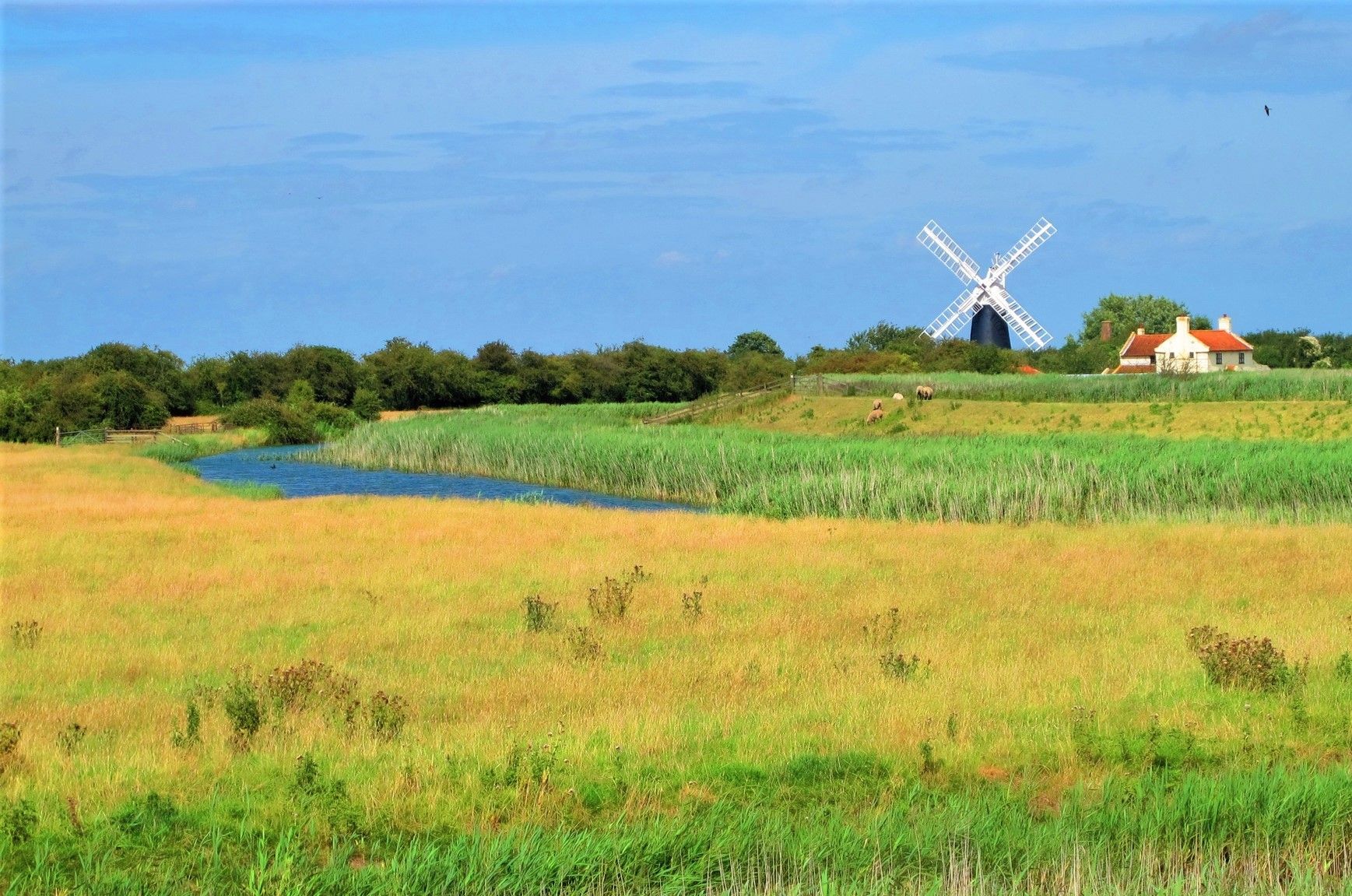
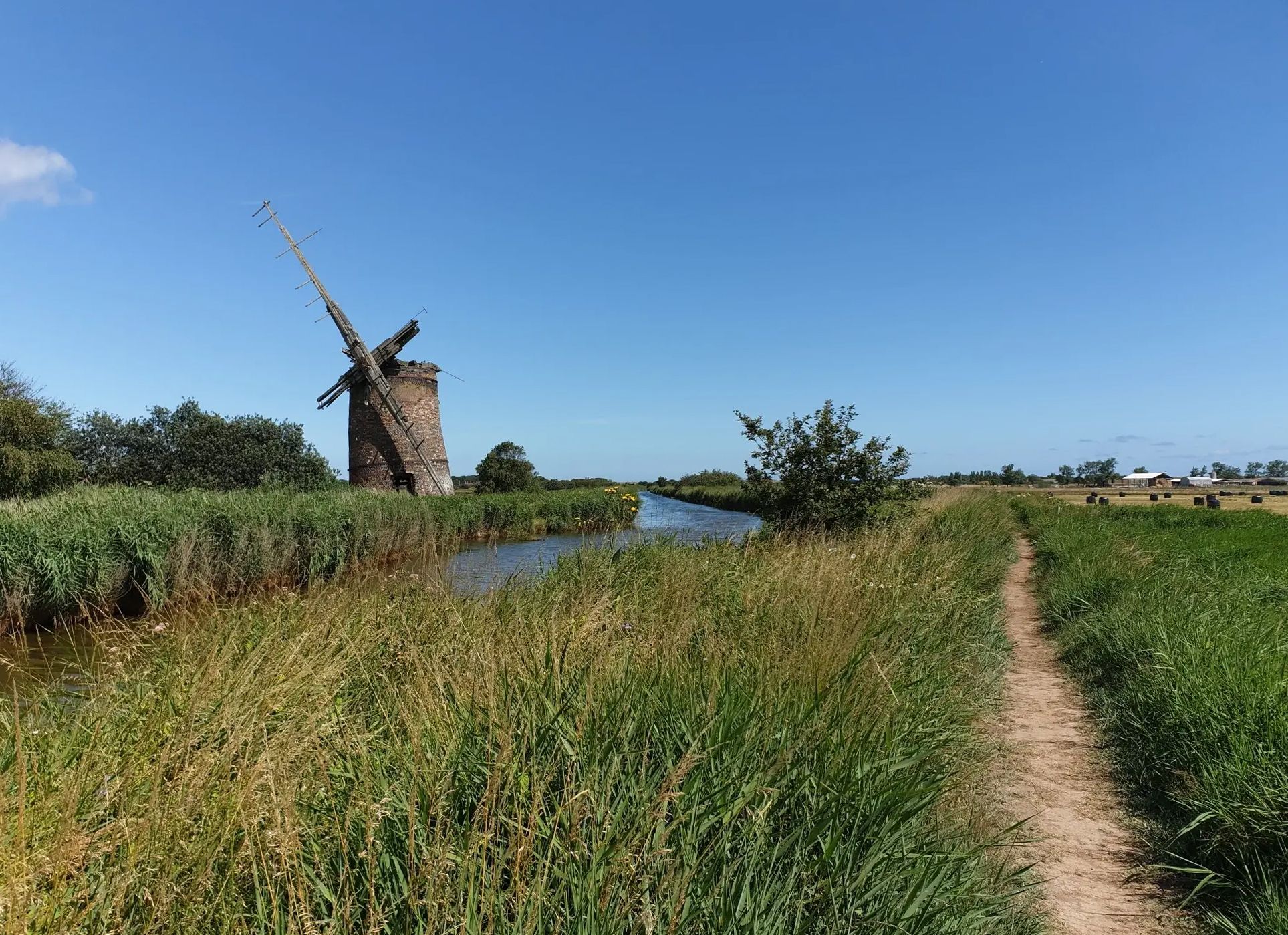
Bus station hiking trails around Surlingham offer access to the distinctive wetlands, fens, and woodlands of the Norfolk Broads. The region is characterized by its flat, serene landscape, with many routes following the River Yare and passing through nature reserves. This area provides a network of accessible trails suitable for various hiking abilities.
Best bus station hiking trails around Surlingham
- The most popular bus station hiking route is Rockland Staithe – Rockland Broad loop from Surlingham, a 10.5 miles…
Last updated: October 31, 2026
5.0
(4)
22
hikers
Moderate hike. Good fitness required. Easily walkable paths.
4.0
(3)
22
hikers
Moderate hike. Good fitness required. Easily walkable paths.

5.0
(3)
22
hikers
8.44km
02:13
70m
70m
Moderate hike. Good fitness required. Easily walkable paths.
3
hikers
Easy hike. Easily walkable paths.
3
hikers
Moderate hike. Good fitness required. Easily walkable paths.
Our route recommendations are based on thousands of hikes, rides, and runs completed by other people on komoot.
Start today with a free account
Your next adventure awaits.


Tips from the Community

Great walk via the Beauchamp Arms pub. The New Inn is now closed.
0
0


The ancient Church of St Mary to Virgin is thought to date back to Saxon times. This Grade-II listed building is a lovely sight, with its fine 15th-century tower rising up above the Yare Valley. Its old Norman south doorway is impressive to behold, with its huge lock.
0
0
Occupying an enviable spot on Rockland Staithe, the New Inn is a traditional country pub. It serves great food and drink, perfect for a refuel after exploring Rockland Broad and the trails along the River Yare. The 38-mile (61 km) Wherryman's Way long-distance trail passes right by the door too.
0
0
Set on the edge of the Surlingham Church Marshes, St Mary's Church boasts a superb round tower. The building contains a blend of 18th-century brick and early medieval flintwork, which lends it much of its character. It's just a short walk from here to the evocative ruins of St Saviour's, home to the grave of well-known naturalist Ted Ellis.
0
0
Overlooking the Yare Valley's marshland, the ruins of St Savior's Church are a beguiling sight. Originally built in the 11th century, the building fell into disrepair and has been a ruin for the last two centuries. The modest grave of naturalist Ted Ellis is found here. Ellis lived nearby at Wheatfen Nature Reserve, which he founded and spent much of his years studying.
2
0

Narrow and twisty lanes to reach it but a lovely location, right on the water. The climb eastwards up to Bramerton is short but surprisingly sharp, hitting over 10%.
1
0

Bramerton Common is a public green space situated on the banks of the River Yare near Norwich. It's the perfect place to catch your breath and watch the world go by.
0
0
Frequently Asked Questions
How many hiking trails are accessible directly from bus stations in Surlingham?
There are 6 hiking trails in Surlingham that are easily accessible from bus stations. These routes offer a convenient way to explore the region's unique wetlands, fens, and woodlands without needing a car.
Are there easy or family-friendly hiking options from Surlingham bus stations?
Yes, Surlingham offers several easy and family-friendly hiking options. For instance, the St Mary's Church, Surlingham loop from Surlingham is rated as easy and provides a pleasant walk suitable for most abilities. The generally flat terrain of the Norfolk Broads makes many paths accessible for families.
What kind of landscapes can I expect to see on these bus station trails?
The trails accessible from Surlingham bus stations primarily showcase the distinctive wetlands, fens, and woodlands of the Norfolk Broads. You'll often find picturesque riverside paths along the River Yare, views of Surlingham Broad, and diverse ecosystems rich in wildlife.
Are there any circular walks available from Surlingham bus stops?
Yes, many of the trails are circular, allowing you to start and end at the same point, often conveniently near a bus stop. For example, the St Mary's Church, Surlingham – Wheatfen Broad Nature Reserve loop from Surlingham is a popular circular route that takes you through varied habitats.
What natural attractions or points of interest can I find along these routes?
Many routes pass by significant natural attractions. You can explore areas like the Ted Ellis Nature Reserve at Wheatfen Broad, known for its woodland, fen, and marshland. The RSPB Rockland Marshes Nature Reserve is also nearby, offering excellent birdwatching opportunities. You might also encounter historical sites like the atmospheric ruins of St Saviour's Church.
What is the best time of year to hike around Surlingham for wildlife viewing?
Spring and autumn are particularly rewarding for wildlife viewing. Spring brings migratory birds and blooming flora, while autumn offers spectacular colours and opportunities to spot various bird species. The nature reserves are havens for wildlife, especially birds like marsh harriers, kingfishers, and bitterns.
Are the bus station trails in Surlingham dog-friendly?
Many trails in the Surlingham area are dog-friendly, especially those on public footpaths. However, when walking through nature reserves or areas with livestock, it's crucial to keep dogs on a lead to protect wildlife and farm animals. Always check local signage for specific restrictions.
What do other hikers enjoy most about the trails accessible from Surlingham bus stations?
The trails around Surlingham are highly rated by the komoot community, with an average score of 4.6 stars. Reviewers often praise the serene, flat landscapes, the abundance of wildlife, and the well-maintained paths that make for a relaxing and enjoyable outdoor experience.
Are there any pubs or cafes near the bus station hiking routes for refreshments?
Yes, some routes offer opportunities for refreshments. For example, the Bramerton Common – The Water's Edge Pub loop from Surlingham specifically includes a pub along its path, providing a convenient stop for food and drink during your hike.
What is the typical duration of these bus station hikes?
The duration of these hikes varies, but most are suitable for a half-day or full-day outing. For instance, the St Mary's Church, Surlingham loop from Surlingham takes approximately 2 hours, while longer routes like the Rockland Staithe – Rockland Broad loop from Surlingham can take around 4-5 hours to complete.
Most popular routes around Surlingham
Most popular attractions around Surlingham

Get inspired with the komoot mobile app


Explore more
Browse the best Hikes in other regions.
