The best walks and hikes around Manteler Forst
4.6
(2295)
10,770
hikers
1,054
hikes
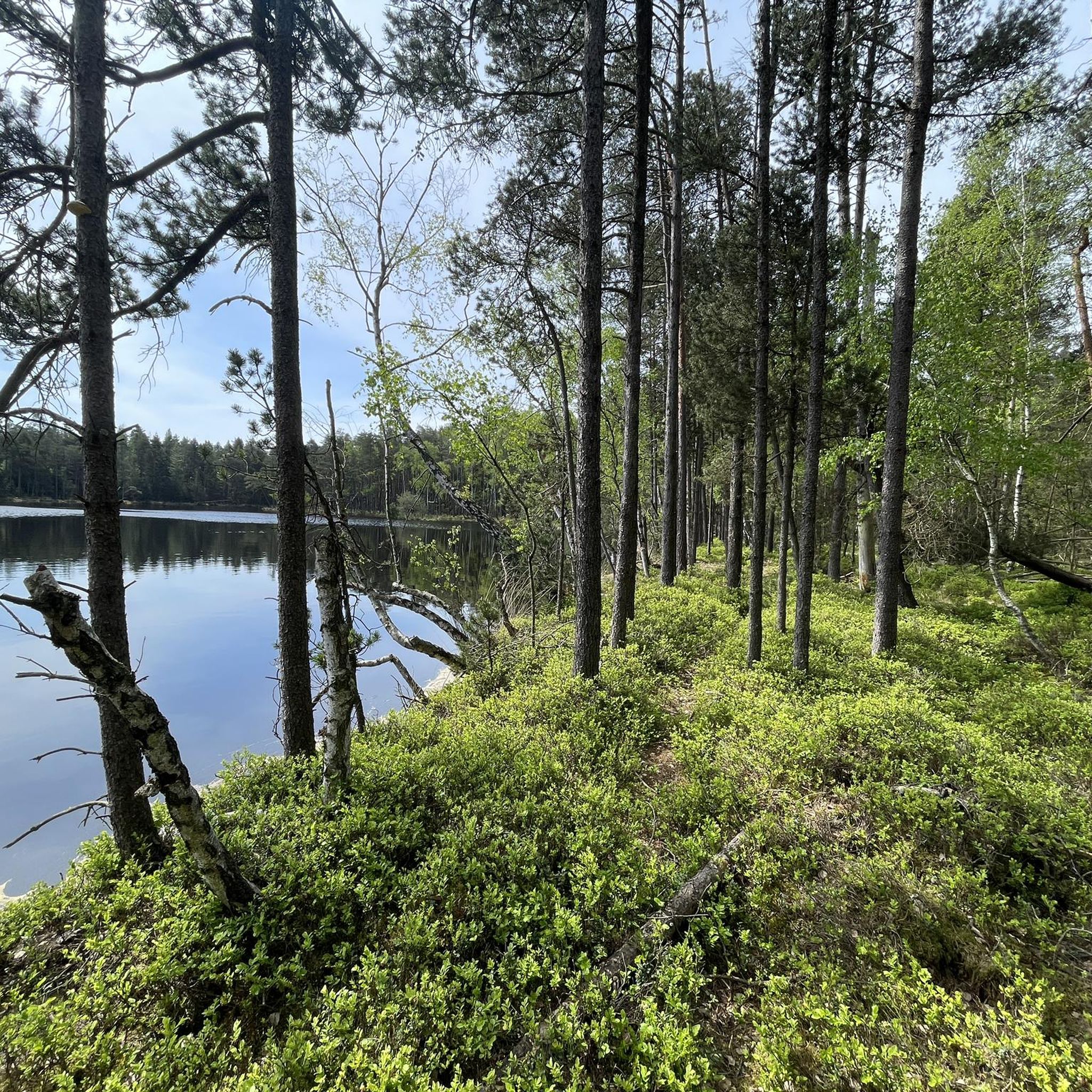
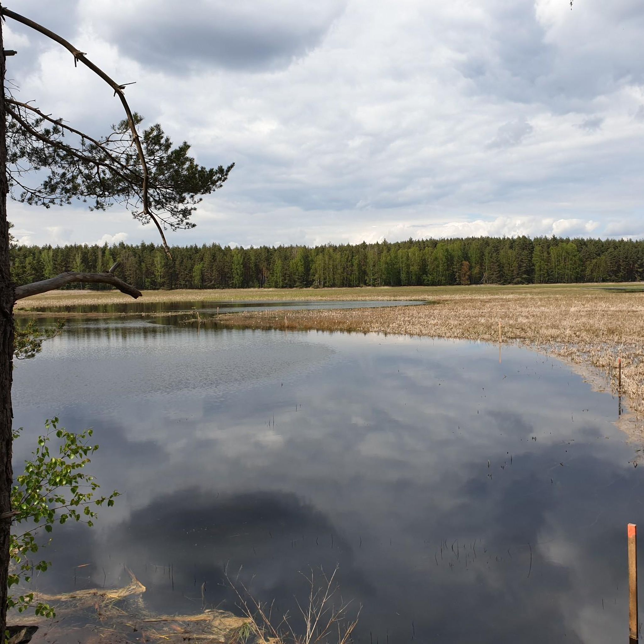
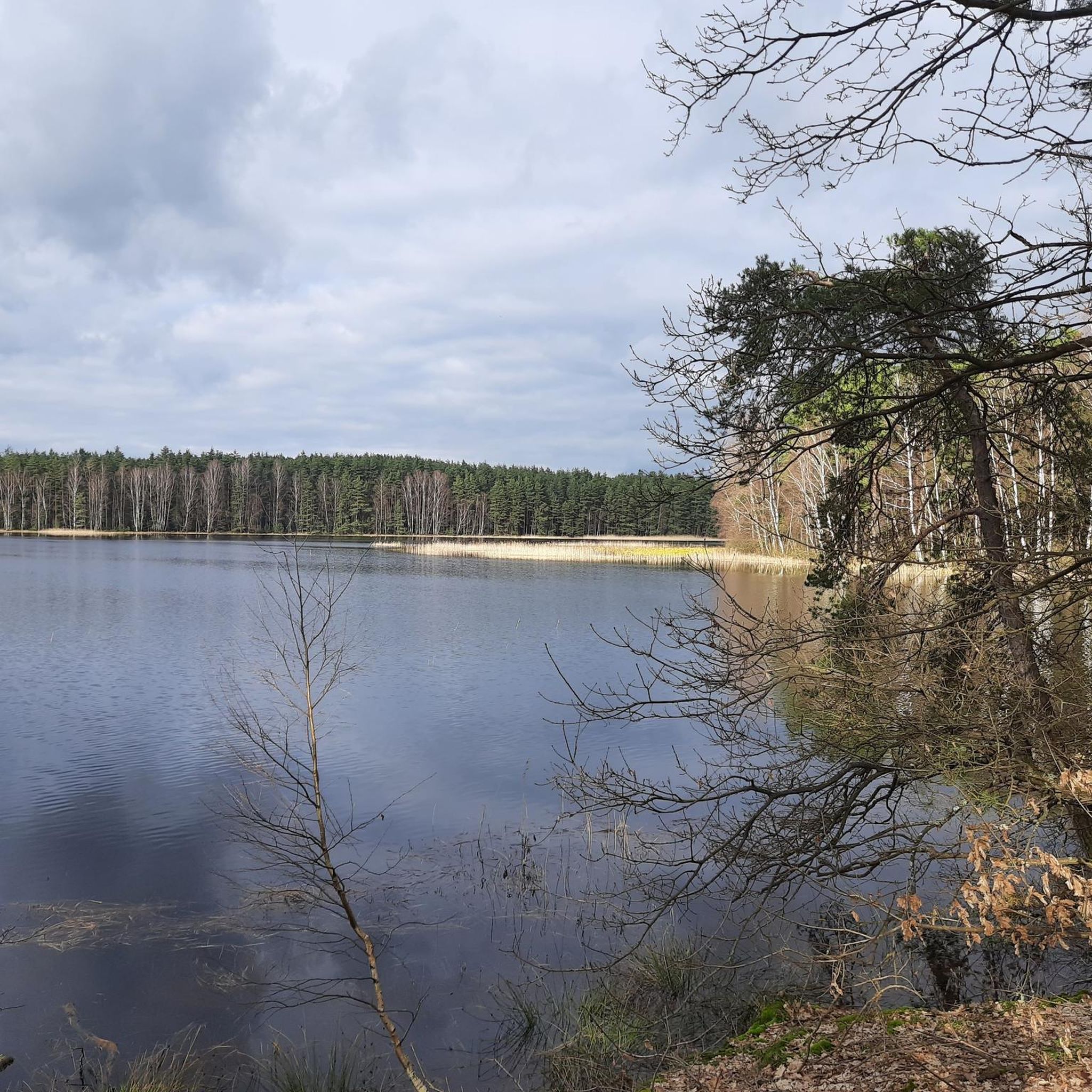
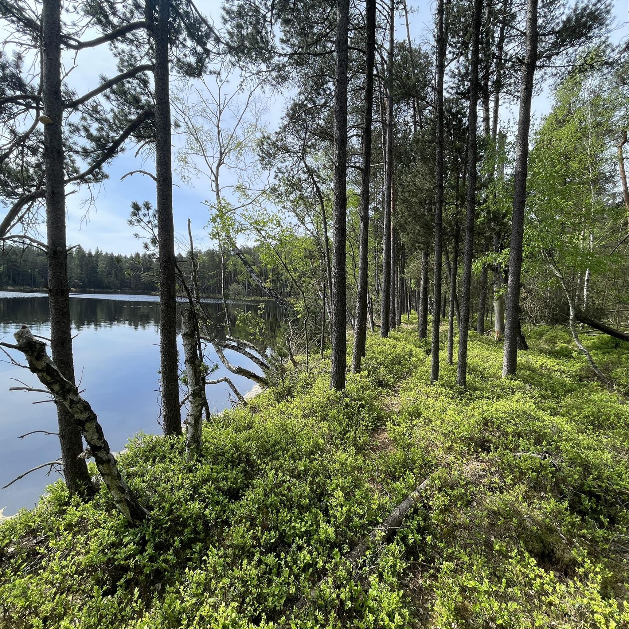
Hiking around Manteler Forst offers diverse natural landscapes within the Upper Palatinate region of Bavaria, Germany. This predominantly forested municipal area is known for its varied ecosystems, including dry sandy habitats, natural water bodies, and bogs. The terrain features gentle elevations and numerous ponds, making it accessible for various fitness levels. Several designated nature reserves, such as Naturwaldreservat Gscheibte Loh and the Fauna-Flora-Habitatgebiet Lohen im Manteler Forst, contribute to its ecological importance.
Best hiking trails around Manteler Forst
- The most…
Last updated: October 1, 2026
4.8
(5)
43
hikers
Moderate hike. Good fitness required. Easily-accessible paths. Suitable for all skill levels.
4.4
(10)
42
hikers
7.89km
02:13
160m
160m
Moderate hike. Good fitness required. Easily-accessible paths. Suitable for all skill levels.

4.5
(8)
31
hikers
3.72km
00:58
30m
30m
Easy hike. Great for any fitness level. Easily-accessible paths. Suitable for all skill levels.
4.4
(5)
24
hikers
3.31km
00:51
20m
20m
Easy hike. Great for any fitness level. Easily-accessible paths. Suitable for all skill levels.
4.5
(4)
20
hikers
Easy hike. Great for any fitness level. Easily-accessible paths. Suitable for all skill levels.
Get access to more routes and recommendations from other explorers.
Already have an account?
Our route recommendations are based on thousands of hikes, rides, and runs completed by other people on komoot.
Start today with a free account
Your next adventure awaits.
Tips from the Community

Castle ruins on the basalt cone Parkstein
0
0
Cave in basalt directly above the parking lot, the stairs leading up were unfortunately closed today
0
0
Church on the basalt cone Parkstein - very great view
0
0
when the wind blows sounds come out, shape like the surrounding basalt
0
0

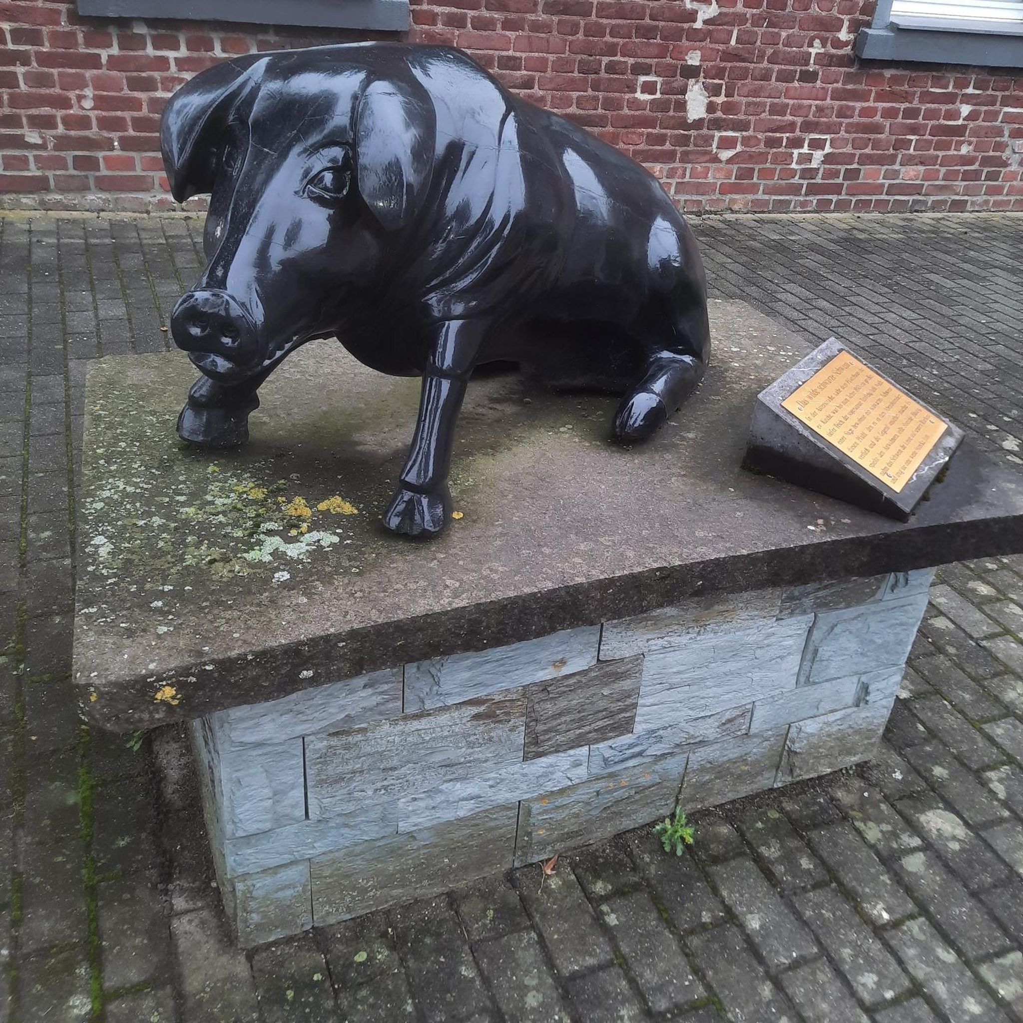
Here flows the Schweinenaab!
0
0

Wonderful stretches of road in an excellent landscape
1
0
an impressive experience to explore the wonderful area here with the bike again and again
1
0
again an impressive experience here with the bike to explore the wonderful area
0
0
Frequently Asked Questions
What kind of terrain can I expect when hiking in Manteler Forest?
Manteler Forest is characterized by diverse natural landscapes, including dry sandy habitats, natural water bodies, and bogs. The terrain features gentle elevations, making it accessible for various fitness levels. You'll find predominantly forested paths and numerous tranquil ponds, offering a varied and engaging hiking experience.
Are there easy hiking options suitable for beginners or leisurely strolls?
Yes, Manteler Forest offers many easy routes. For example, the Schwarzweiher loop from Schwarzenbach is an easy 3.7 km trail that provides a peaceful woodland walk around a tranquil pond. Another easy option is the Community Pond – Swedish Oak loop from Parkstein, a 3.3 km path passing a communal pond and a notable 'Schwedeneiche'.
What natural features or landmarks can I see along the trails?
Manteler Forest is home to several significant natural features. You can explore designated nature reserves like the Naturwaldreservat Gscheibte Loh and the Fauna-Flora-Habitatgebiet Lohen, which includes the Schießlweiher and Straßweiherkette (chains of ponds). Many routes feature tranquil ponds and dense woodlands. Some trails also pass unique attractions like the Basaltron Wind Sound Sculpture.
Are there any circular hiking routes in Manteler Forest?
Yes, many of the popular routes in Manteler Forest are circular, allowing you to start and end at the same point. Examples include the Schwarzweiher loop from Schwarzenbach and the Basaltron Wind Sound Sculpture – Parkstein Basalt Cone loop from Parkstein.
Is Manteler Forest suitable for family hikes?
Absolutely. The generally mild changes in altitude and the network of well-developed trails make Manteler Forest very suitable for families. Many easy routes, often around tranquil ponds and through woodlands, are perfect for walks with children. The Manteler Wald Nature Trail and Playground is also a great option for families.
Can I bring my dog on the hiking trails in Manteler Forest?
Manteler Forest is generally dog-friendly, offering plenty of natural spaces for walks with your canine companion. While specific leash laws may vary by exact location within the forest or nature reserves, it's always recommended to keep your dog on a leash, especially in conservation areas and near wildlife, to protect both your pet and the local ecosystem.
How many hiking trails are there in Manteler Forest?
Manteler Forest boasts an extensive network of over 1000 hiking trails, catering to various preferences and fitness levels. This includes more than 650 easy routes, over 380 moderate trails, and a selection of more challenging options.
What do other hikers enjoy most about Manteler Forest?
The area is highly rated by the komoot community, with an average score of 4.6 stars from over 1900 reviews. Hikers often praise the tranquil woodlands, the diverse ecosystems including ponds and bogs, and the well-maintained paths that offer a serene and engaging outdoor experience.
Are there any specific conservation areas within Manteler Forest?
Yes, Manteler Forest is recognized for its ecological importance and includes several designated conservation areas. Notable examples are the Naturwaldreservat Gscheibte Loh, which preserves untouched forest ecosystems, and the Fauna-Flora-Habitatgebiet Lohen im Manteler Forst, protecting specific animal and plant species along with their natural habitats, including the Schießlweiher and Straßweiherkette.
Where can I find parking for hiking in Manteler Forest?
While specific parking areas are not detailed for every route, many trailheads, especially those starting from towns like Schwarzenbach or Parkstein, typically offer designated parking facilities. It's advisable to check the starting point of your chosen route for specific parking information.
Are there any places to eat or stay near Manteler Forest?
While Manteler Forest itself is predominantly uninhabited, the surrounding towns and villages, such as Mantel and Parkstein, offer options for dining and accommodation. You can find local cafes and restaurants for refreshments after your hike, as well as various lodging choices for an extended stay in the Upper Palatinate region.
What is the best time of year to hike in Manteler Forest?
Manteler Forest offers enjoyable hiking experiences throughout much of the year. Spring brings fresh greenery and blooming flora, while autumn showcases vibrant fall colors. Summer is ideal for enjoying the shade of the dense woodlands. Even in winter, the forest can be beautiful, though some paths might be less accessible depending on snow conditions.
Most popular routes around Manteler Forst
Most popular attractions around Manteler Forst

Get inspired with the komoot mobile app


Explore more
Browse the best Hikes in other regions.
