The best hikes from bus stations around Hoveton
4.6
(554)
3,264
hikers
133
hikes
Bus station hiking trails around Hoveton are primarily characterized by the flat, wetland landscapes of the Norfolk Broads. The region features extensive waterways, including the River Bure, and vast reedbeds. Elevation gains are minimal, making most routes accessible. The terrain consists largely of riverside paths, wet woodlands, and boardwalks through nature reserves.
Best bus station hiking trails around Hoveton
- The most popular bus station hiking route is Hiking loop from Wroxham, a 2.7 miles (4.3 km) trail that takes…
Last updated: June 30, 2026
5.0
(1)
16
hikers
4.33km
01:07
20m
20m
Easy hike. Great for any fitness level. Easily-accessible paths. Suitable for all skill levels.
4.5
(4)
22
hikers
10.2km
02:37
40m
40m
Moderate hike. Good fitness required. Easily-accessible paths. Suitable for all skill levels.
12.4km
03:09
30m
30m
Moderate hike. Good fitness required. Easily-accessible paths. Suitable for all skill levels.
Get access to more routes and recommendations from other explorers.
Sign up for free
Already have an account?
Our route recommendations are based on thousands of hikes, rides, and runs completed by other people on komoot.
Start today with a free account
Your next adventure awaits.
Login or Signup
Popular around Hoveton
Other adventures around Hoveton

Tips from the Community

A scenic and peaceful footpath tracing the Bure Valley narrow railway line.
0
0

The River Bure is a navigable river which flows into Breydon Water in Great Yarmouth. Coltishall bridge about 10 miles inland is the head of navigation, the furthest larger boats can get.
0
0

Good place to stop for a coffee and to refuel! Toilets here as well.
0
0

Really nice and easy path that follows the entire Bure Valley Railway line between Aylsham and Wroxham. You can take the train one way and walk the other and there are some great points to turn off and explore especially around the Oxnead area where you can follow the river and rejoin the path later on.
0
0
Really nice town with pubs by the river and walsk both ways along the river. Can be busy in the Summer months but with multiple Pubs, restaurants and cafes and a village shop there should be room somewhere.
0
0

A charming village at the start of the navigable part of the River Bure, Coltishall is well located for exploring the Broads National Park. The Bure offers some tranquil riverside trails, while the Bure Valley Path allows walkers and cyclists to follow the heritage railway from Aylsham and Wroxham. The village has plenty of pubs, restaurants and cafes for the post hike refuel, as well as accommodation options.
0
0
The Rising Sun is a lovely riverside pub in Coltishall, which does excellent food, including wood fired Neapolitan pizzas. It also offers bed and breakfast accommodation, offering a pleasant basecamp from which to explore the wider Broads.
1
0
The Bure Valley Path is a 9-mile (14.5 km) cycling and walking trail between Aylsham and Wroxham. It follows the delightful Bure Valley and the railway of the same name, a narrow gauge heritage line that boasts both diesel and steam locomotives. As well as the terminations at Aylsham and Wroxham, there are stations at Brampton, Buxton and Coltishall, which enables you to mix your walk with a ride on the train.
0
0
Frequently Asked Questions
How many hiking trails accessible from bus stations are there around Hoveton?
There are over 130 hiking trails around Hoveton that are easily accessible from bus stations, offering a wide variety of options for all skill levels.
What kind of terrain can I expect on bus station hikes in Hoveton?
The terrain around Hoveton is generally flat, characteristic of the Norfolk Broads. You can expect serene riverside paths, trails winding through wet woodlands, and boardwalks through reedbeds. Most routes have minimal elevation gain, making them accessible for many hikers.
What do other hikers say about the bus station trails in Hoveton?
The komoot community highly rates the bus station trails in Hoveton, with an average score of 4.6 stars. Reviewers often praise the tranquil waterways, diverse wildlife, and the ease of access to nature from public transport hubs.
Are there easy or beginner-friendly hiking trails from Hoveton bus stations?
Yes, a significant number of trails are easy, with over 70 routes categorized as such. A great option for a gentle introduction is the Hiking loop from Wroxham, which is just over 4 km and offers pleasant views.
Are there any challenging routes accessible by bus in Hoveton?
While most trails in Hoveton are easy to moderate due to the flat landscape, there are a few routes (3 in total) that offer a slightly more challenging experience, often due to their longer distance rather than significant elevation changes.
Can I find family-friendly walks from Hoveton bus stations?
Absolutely. Many trails are suitable for families, featuring gentle terrain and opportunities to spot wildlife. The Hoveton Great Broad Nature Trail, accessible by ferry, is a particular highlight for families interested in nature, offering insights into the area's ecology.
Are the bus station hiking trails in Hoveton suitable for dogs?
Many trails in the Norfolk Broads are dog-friendly, but it's always best to check specific route details for any restrictions, especially in nature reserves where dogs might need to be on a lead to protect wildlife. Always ensure your dog is under control and respect local signage.
Are there circular routes starting from Hoveton bus stations?
Yes, many routes are designed as circular loops, allowing you to start and end at the same bus station. An example is the Coltishall Village – The River Bure loop from Wroxham, a moderate 10 km route that takes you along the scenic River Bure.
What natural features or wildlife can I expect to see on these trails?
Hoveton is part of the Norfolk Broads, so you'll encounter serene waterways like the River Bure, expansive reedbeds, and wet woodlands. Keep an eye out for diverse birdlife, including marsh harriers and ospreys, as well as rare dragonflies and otters. The River Bure and Drainage Mills are iconic sights.
Are there any interesting landmarks or attractions near the bus station trails?
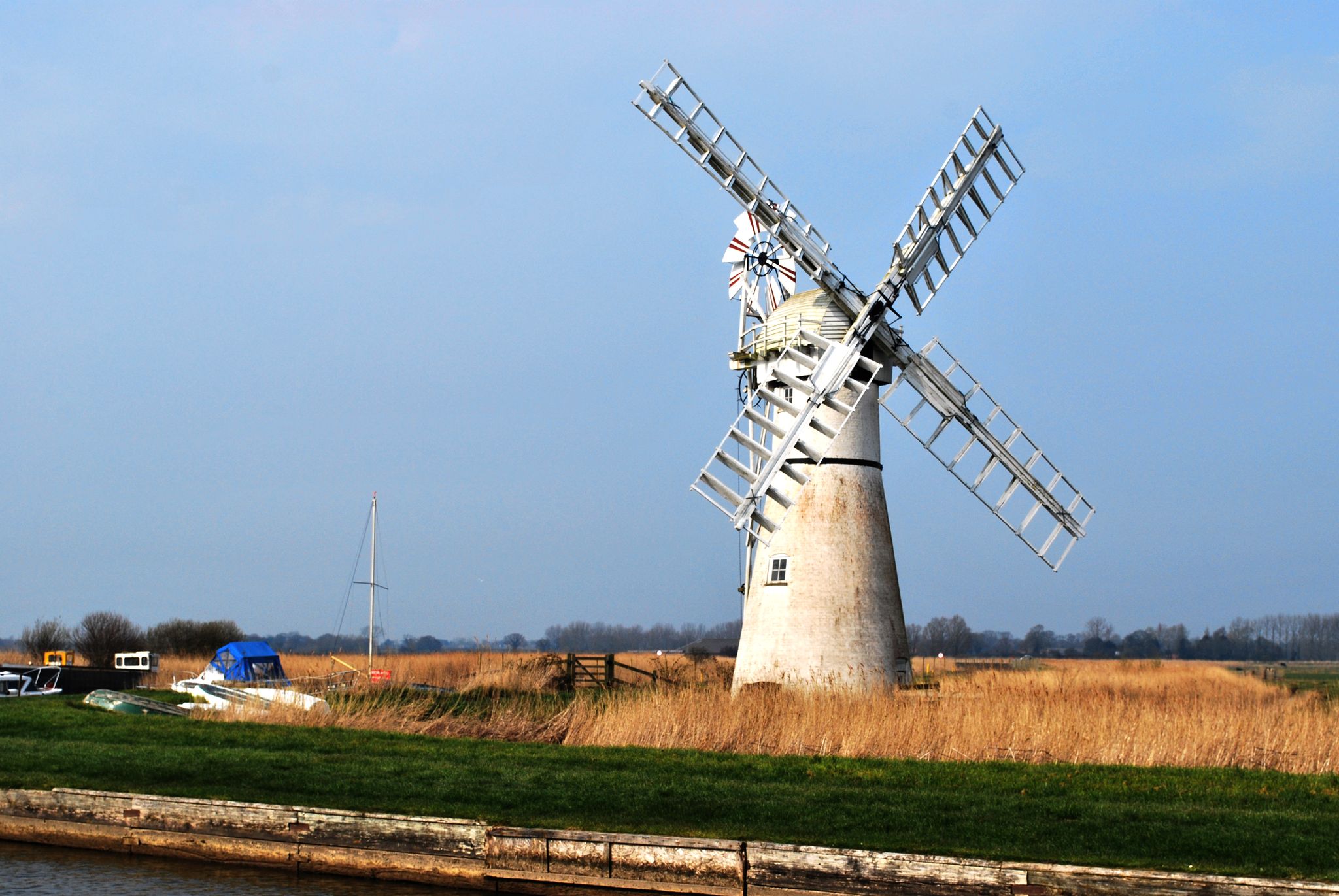
Yes, you can explore several points of interest. The How Hill Windmill and Nature Reserve offers a glimpse into the Broads' heritage and ecology. You might also pass by the picturesque Upton Dyke or enjoy views of Barton Broad. For a different experience, consider visiting Hoveton Hall Gardens, known for its beautiful landscapes.
What is the best time of year to hike around Hoveton?
Hoveton offers beauty year-round. Spring brings blooming flora and active wildlife, while summer provides pleasant weather for longer walks. Autumn showcases vibrant colors in the woodlands. Even winter offers tranquil, crisp walks, with fewer crowds and unique views of the frosted landscape.
Are there pubs or cafes accessible from the bus station trails?
Yes, Hoveton and nearby villages offer various pubs and cafes where you can refresh after your hike. Many routes are designed to pass through or near these establishments, providing convenient stops for a meal or a drink.
Most popular routes around Hoveton
Most popular attractions around Hoveton

Get inspired with the komoot mobile app


Explore more
Browse the best Hikes in other regions.
