The best hikes from bus stations around Brough And Shatton
4.6
(21723)
137,915
hikers
11
hikes
Hiking around Brough And Shatton offers a diverse landscape within the Peak District National Park, characterized by a blend of rugged gritstone moorlands and rolling hills. The area features prominent natural elements such as reservoirs, including Ladybower, and rivers like the Derwent and Noe. Hikers can explore varied topography, from expansive moorland plateaus to picturesque valleys, providing a range of experiences from challenging ascents to tranquil waterside paths. Viewpoints like Win Hill and Bamford Edge offer panoramic vistas across the…
Last updated: June 30, 2026
4.1
(7)
73
hikers
Moderate hike. Good fitness required. Easily-accessible paths. Suitable for all skill levels.
4.0
(2)
19
hikers
8.35km
02:31
260m
260m
Moderate hike. Good fitness required. Easily-accessible paths. Suitable for all skill levels.

Sign up for free
17
hikers
8.56km
02:21
130m
130m
Moderate hike. Good fitness required. Easily-accessible paths. Suitable for all skill levels.
15
hikers
4.40km
01:10
50m
50m
Easy hike. Great for any fitness level. Easily-accessible paths. Suitable for all skill levels.
4.5
(2)
7
hikers
Easy hike. Great for any fitness level. Easily-accessible paths. Suitable for all skill levels.
Get access to more routes and recommendations from other explorers.
Sign up for free
Already have an account?
Our route recommendations are based on thousands of hikes, rides, and runs completed by other people on komoot.
Start today with a free account
Your next adventure awaits.
Login or Signup
Popular around Brough And Shatton
Other adventures around Brough And Shatton


Tips from the Community

Although challenging, totally doable on a bike with some decent gear ratio.
0
0

Nice little spot to stop. Stone circle was actually covered in sheep wool when I visited which lets the mind run wild given the name
0
0

Great tea & coffee, lovely cakes. Very welcoming for runners, hikers and cyclists.
0
0

Win Hill to the left with Bamford Edge to the right. Just a glimpse of Ladybower between the two. Taking a few pics gives the heart time to recover from the climb
0
0

Nice pub to site outside, but inside is more of a restaurant atmosphere
0
0

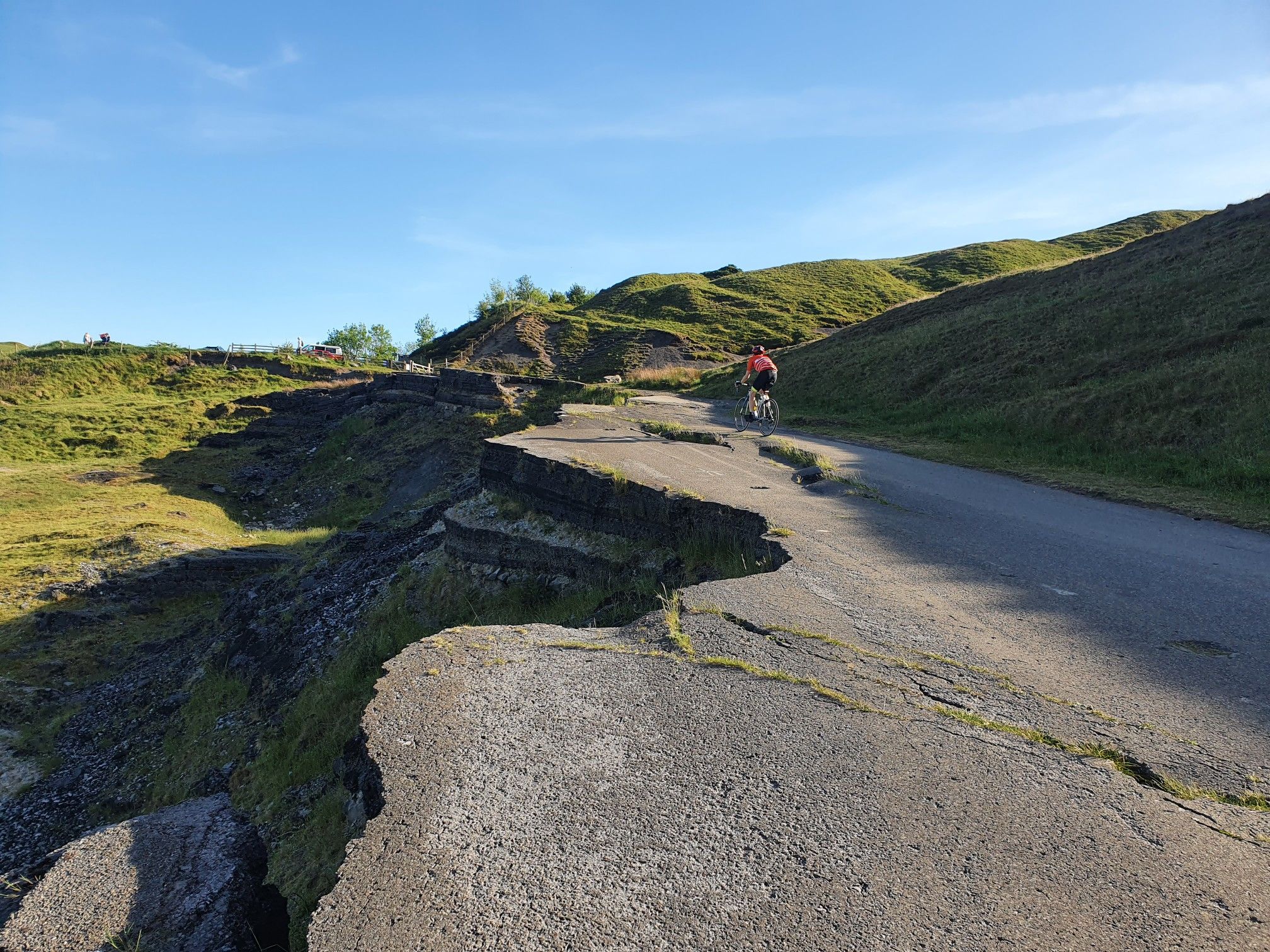
Heads-up! The climb that follows, through Offerton, is quite the ramp. Featuring an an elevation gain of about 88 metres, on a gradient that approaches 16% in places.
1
0


With the words "There are plenty of things to do and places to eat and stay, so why not take your time to enjoy the beautiful scenery of the Derwent Valley as it winds through the Peak District and past Derbyshire's industrial heritage?" the Derwent Valley Trust promotes this trail, which stretches approximately 52 miles and, according to the recommended plan, can be hiked in very leisurely stages. For details, see =>> https://www.derwentvalleytrust.org.uk/walk/the-route/
2
0
Frequently Asked Questions
How many bus-accessible hiking trails are there around Brough And Shatton?
There are over 10 hiking trails around Brough And Shatton that are easily accessible from local bus stations. These routes offer a variety of experiences, from gentle strolls to more challenging ascents into the Peak District's diverse landscape.
Are there easy hiking trails accessible from the bus station in Brough And Shatton?
Yes, many of the trails accessible from the bus station are considered easy, perfect for a relaxed outing. For example, The Wild Kettle Café loop from Brough and Shatton is an easy route that takes you through pleasant scenery without significant elevation gain.
Can I find circular hiking routes starting from the bus station?
Absolutely. Many of the routes are designed as circular walks, bringing you back to your starting point near the bus station. An excellent option is the View of Hope Valley – Hope Pinfold loop from Brough and Shatton, which offers scenic views and returns you to the vicinity of the bus stop.
What kind of natural features can I expect to see on these bus-accessible trails?
The trails around Brough And Shatton showcase the stunning diversity of the Peak District. You'll encounter dramatic gritstone edges and moorland plateaus, rolling hills, and picturesque valleys. Rivers like the Derwent and Noe provide charming waterside paths, and you might even discover unique features like the River Derwent Stepping Stones.
Are there any prominent viewpoints accessible from the bus station hikes?
Yes, the region is rich with viewpoints offering expansive panoramas. While some require more strenuous climbs, you can still access routes that provide glimpses of the stunning landscape. The View of Hope Valley – Hope Pinfold loop offers lovely vistas of the Hope Valley. For more challenging routes, prominent viewpoints like Lose Hill Summit and Trig point at Win Hill summit are within the broader region.
Are the bus station hiking trails in Brough And Shatton suitable for families?
Many of the trails are suitable for families, especially the easier, shorter loops. These routes often feature gentle terrain and interesting sights for children. The The Wild Kettle Café – Bridleway to Shatton Lane loop is an easy option that families can enjoy together.
Are dogs allowed on the hiking trails accessible from Brough And Shatton bus station?
Yes, most trails in the Peak District are dog-friendly, provided dogs are kept under control, especially around livestock. It's always best to keep dogs on a lead in areas with farm animals or ground-nesting birds. The varied terrain, from riverside paths to open moorland, offers plenty for dogs to enjoy.
What are some interesting historical or cultural landmarks I can visit on a hike from the bus station?
The area around Brough And Shatton is steeped in history. While specific bus-accessible routes might not directly pass major historical sites, the broader region includes fascinating places like the Navio Roman Fort. You can also find historical elements like Green's Mill Ruins and Waterfall in nearby areas.
Where can I find refreshments or a pub near the bus station after a hike?
Brough And Shatton and the surrounding villages offer several options for refreshments. Many routes, like The Wild Kettle Café loop, are designed to pass by or end near local cafes or pubs, providing a convenient stop for a well-deserved break.
What do other hikers say about the trails around Brough And Shatton?
The hiking trails around Brough And Shatton are highly rated by the komoot community, with an average score of 4.6 stars from over 198,000 visitors. Reviewers often praise the diverse landscapes, the accessibility of routes from public transport, and the stunning panoramic views across the Peak District.
Are there any moderate difficulty hikes accessible by bus?
Yes, for those looking for a bit more challenge, there are moderate difficulty hikes available. The Wolf's Pit – Abney Moor loop from Brough and Shatton is a moderate route that includes more significant elevation changes and offers a rewarding experience.
Most popular routes around Brough And Shatton
Most popular attractions around Brough And Shatton

Get inspired with the komoot mobile app


Explore more
Browse the best Hikes in other regions.
