The best family-friendly hikes and walks in the Malvern Hills
4.5
(1767)
14,589
hikers
290
hikes
Family friendly hiking trails in the Malvern Hills traverse a distinctive landscape characterized by a prominent spine of ancient hills, offering panoramic views across rolling terrain, wildflower meadows, and woodlands. The region's geology features Precambrian igneous and metamorphic rocks, contributing to its unique formations and natural springs. This diverse environment provides a range of paths suitable for families, from gentle strolls to moderate ascents.
Best family friendly hiking trails in the Malvern Hills
- The most popular family friendly hiking route is Croome Park loop, an easy 3.8 miles (6.1 km) trail that takes about 1 hour 30 minutes to complete. This path offers gentle gradients through parkland.
- Another top favourite among local hikers is Geopark Way: Worcestershire Beacon and Summer Hill Loop, a moderate 2.5 miles (4.1 km) path. This route provides views from the hills and passes through varied terrain.
- Local hikers also love the Worcestershire Beacon Circular, a 3.7 miles (6.0 km) trail leading through the higher parts of the hills, often completed in about 2 hours.
- Hiking in the Malvern Hills is defined by dramatic ridgelines, ancient woodlands, and open grassland, with options for different ability levels. The extensive network of paths includes routes suitable for families seeking both gentle walks and more active outings.
- The routes in Malvern Hills are highly rated by the komoot community with an average score of 4.6 stars from more than 1,300 reviews. More than 12,500 hikers have used komoot to explore Malvern Hills's varied terrain.
Last updated: August 24, 2026
4.7
(139)
1,062
hikers
19.0km
05:46
630m
630m
Embark on a challenging hike through the Malvern Hills, a route that offers a significant physical test despite its name suggesting otherwise. This difficult trail spans 11.8 miles (19.0 km), guiding you through scenic woodlands and along exposed ridgeline paths. You will ascend a total of 2053 feet (626 metres) in elevation, with the entire journey estimated to take around 5 hours and 45 minutes to complete. Expect varied terrain and panoramic views, especially as you reach the Worcestershire Beacon Summit, a prominent landmark offering impressive vistas.
When planning your visit, be aware that this route follows bridleways and permissive cycle paths, so you will share the trail with mountain bikers. The predominantly rock-based terrain generally holds up well in wet conditions, but you should watch out for slick sections from fallen leaves during winter months. Ensure you wear appropriate footwear to handle the varied surfaces and significant climbs you will encounter. Starting your hike earlier in the day is often best to allow ample time to complete the full distance before dusk.
This trail is set within the Malvern Hills National Landscape, an area renowned for its unique geology and natural beauty. The route provides stunning 360-degree views across the surrounding countryside from points like Pinnacle Hill, allowing you to see Worcestershire, Herefordshire, and Gloucestershire on clear days. It is a fantastic way to experience the dramatic landscape and expansive horizons that make the Malvern Hills a distinctive and rewarding destination for hikers.
4.6
(29)
198
hikers
5.97km
02:03
320m
320m
Embark on the Worcestershire Beacon Circular, a moderate hiking route that offers rewarding views from the Malvern Hills. This trail covers 3.7 miles (6.0 km) with an elevation gain of 1059 feet (323 metres), typically taking about 2 hours and 2 minutes to complete. As you ascend towards the Worcestershire Beacon Summit, you will experience varied terrain and panoramic vistas that stretch across the surrounding landscape.
To begin your hike, you can find convenient parking options at Upper Wyche or Great Malvern. If you prefer public transport, Great Malvern Train Station provides easy access to the area. Remember to plan for refreshments; you will find cafes like St Ann's Well & Café and various local pubs along or near the route.
This circular route is nestled within the beautiful Malvern Hills National Landscape, an area known for its distinctive geology and natural beauty. From the Worcestershire Beacon Summit and its toposcope, you can often see up to 13 counties on a clear day, including the distant Welsh hills. The trail offers a unique blend of natural scenery and historical points of interest, making it a memorable outing.

Sign up for free
4.9
(17)
90
hikers
4.10km
01:15
140m
140m
Embark on a moderate hike along the Geopark Way, exploring the Worcestershire Beacon and Summer Hill Loop. This 2.5-mile (4.1 km) route offers diverse terrain, from paved sections to mountain paths, and takes about 1 hour and 14 minutes to complete. You will gain 454 feet (139 metres) in elevation, leading you to expansive vistas. From the summit of Worcestershire Beacon, you can enjoy panoramic views across several counties, including the Black Mountains and Shropshire Hills on a clear day. The trail also guides you through delightful valleys, showcasing the natural beauty of the Malvern Hills.
When planning your visit, be aware that the trail features varied terrain, including unpaved paths and mountain hiking sections, so sure-footedness is recommended. General parking is available near the start point on Beacon Road, making access straightforward. While this loop is relatively short, you can find refreshments at places like St Ann's Well and Cafe H2O (GeoCentre) if you extend your outing in the wider area.
This loop is part of the Geopark Way, highlighting the ancient geology of the Malvern Hills National Landscape. As you approach the summit of Worcestershire Beacon, keep an eye out for the unique Stone Compass Rose, a notable feature of the area. The route provides a great opportunity to experience the geological heritage and scenic beauty that makes this region special.
3.5
(8)
30
hikers
16.0km
04:25
270m
280m
Embark on a moderate hike through the Suckley Hills on the Worcestershire Way loop from Knightwick, covering 9.9 miles (16.0 km) with an elevation gain of 901 feet (275 metres). This rewarding route typically takes around 4 hours and 24 minutes to complete, leading you through varied terrain including verdant woodlands, gently rolling hills, farmlands, and orchards. You will enjoy picturesque views across the Teme Valley and towards the distant Malvern Hills, experiencing a mix of footpaths and some steeper sections that can be slippery after rain.
Starting from the small and pretty village of Knightwick, you can easily access the trailhead. Consider hiking in spring or summer to witness the vibrant orchards and woodlands filled with bluebells and other flora, or visit in winter for expansive views when the trees are bare. After your hike, you might enjoy refreshments at The Talbot, a 15th-century coaching inn located conveniently in Knightwick.
This loop forms a popular section of the longer Worcestershire Way, a 31-mile (50 km) long-distance footpath. A key highlight is Blackhouse Wood Nature Reserve, an ancient semi-natural woodland known for rare large-leaved lime trees and diverse plant species like wood vetch and wild thyme. The Suckley Hills are nestled between the Abberley Hills and the Malvern Hills, offering a delightful and quiet part of Worcestershire to explore within the Malvern Hills Area of Outstanding Natural Beauty (AONB).
4.5
(4)
22
hikers
6.05km
01:33
20m
20m
Embark on an easy hike through the historic Croome Park loop, a picturesque journey spanning 3.8 miles (6.1 km) with a gentle elevation gain of 73 feet (22 metres). This route typically takes around 1 hour and 32 minutes to complete, guiding you through beautifully landscaped parkland designed by "Capability" Brown. You will encounter open fields and gravel paths, with views extending to the Malvern Hills and Bredon Hill on clear days, and pass architectural follies like the Rotunda and a Chinese Bridge.
This trail is suitable for most fitness levels, offering easily accessible paths that wind through the estate. Be aware that the ground can become muddy in wet weather, so appropriate footwear is advisable. The park also provides accessible paths for buggies and wheelchairs, and it is a dog-friendly destination, making it welcoming for a wide range of visitors.
Croome Park is historically significant as the first major landscape project by Lancelot "Capability" Brown, an influential 18th-century architect. The National Trust has meticulously restored the parkland, bringing back its original species and 18th-century carriageways. Along the way, you can explore a historic church, a bird hide, and various restored garden buildings, all contributing to the rich heritage and unique character of this Worcestershire gem.
Get access to more routes and recommendations from other explorers.
Sign up for free
Already have an account?
Our route recommendations are based on thousands of hikes, rides, and runs completed by other people on komoot.
Start today with a free account
Your next adventure awaits.
Login or Signup
Popular around Malvern Hills
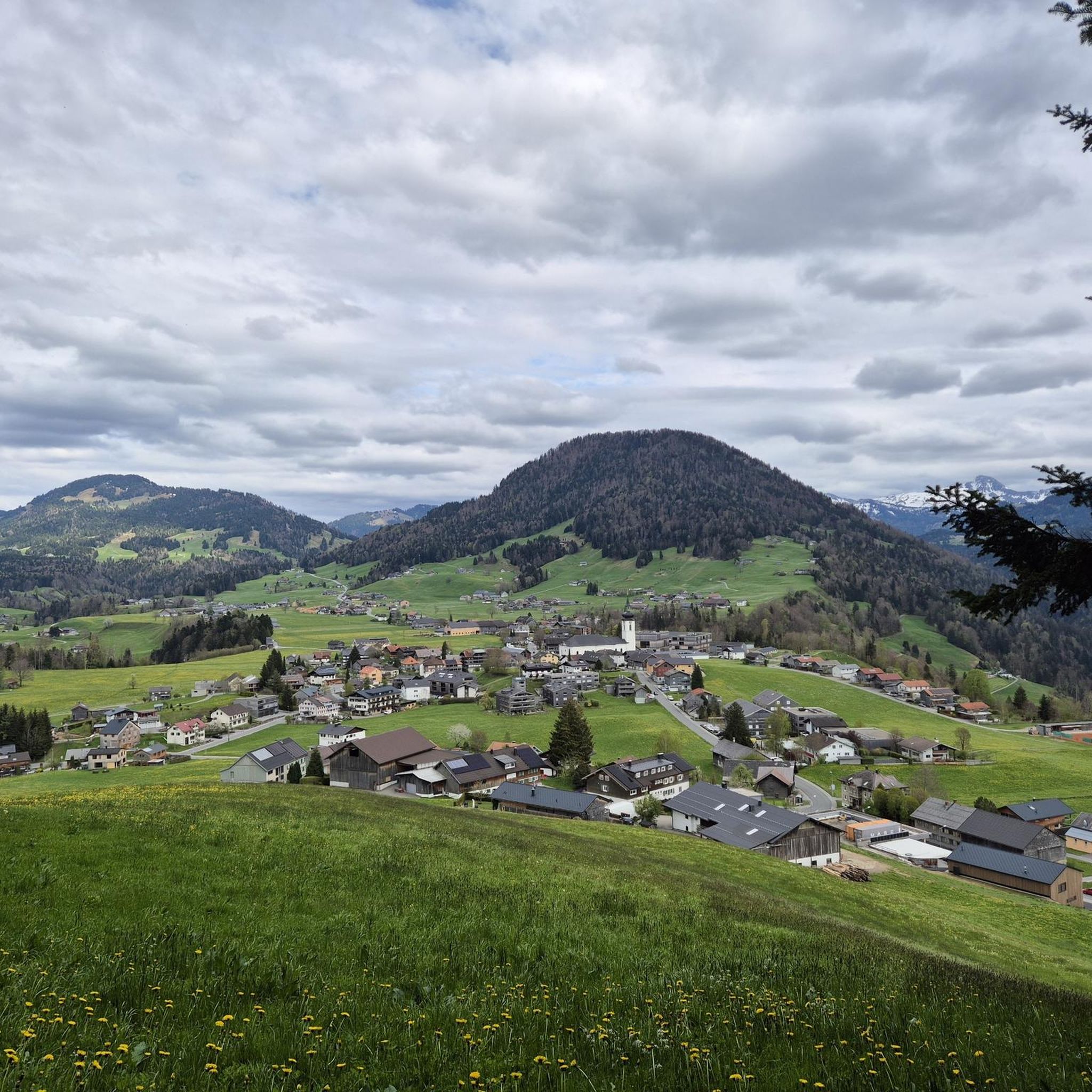
Family-friendly hikes around Malvern
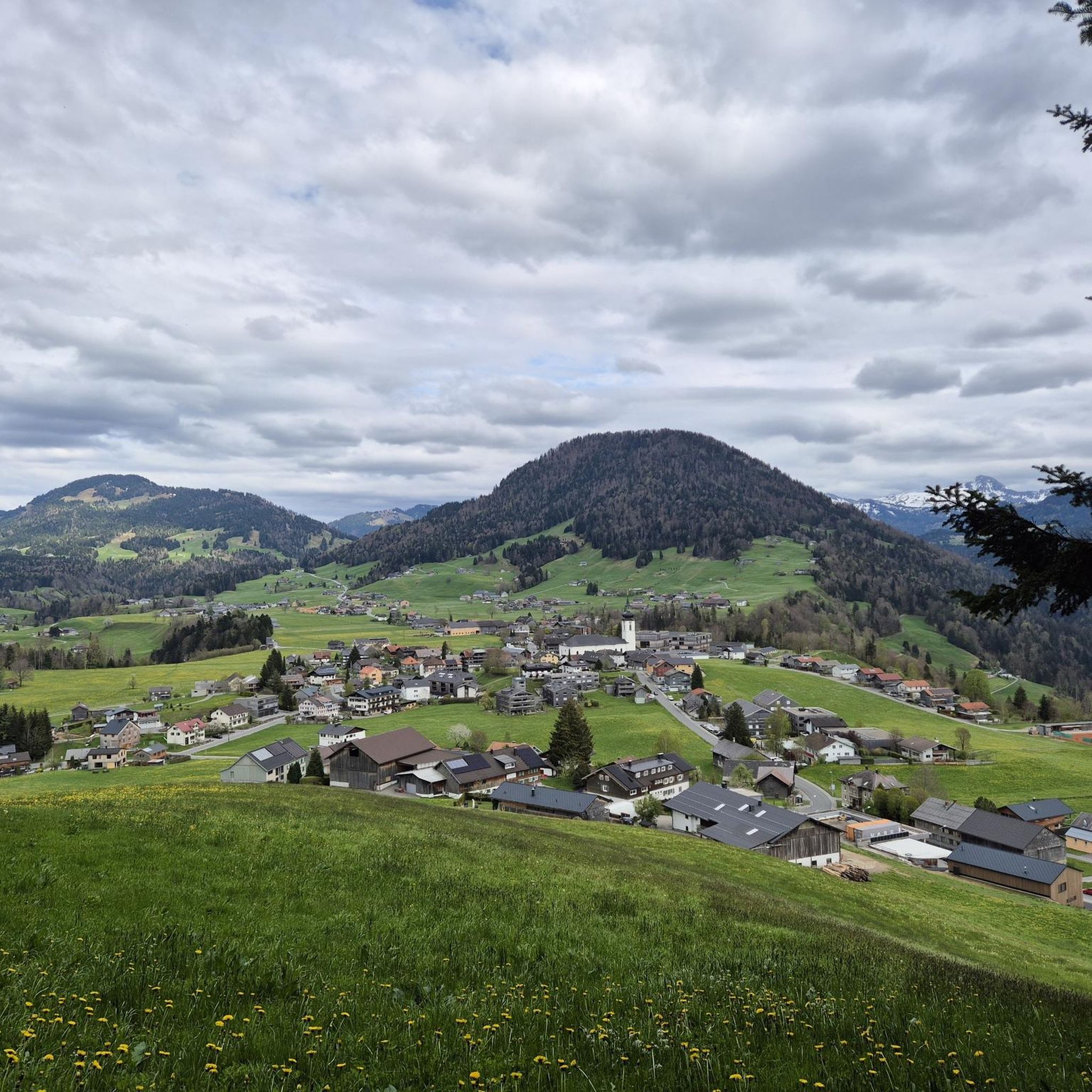
Family-friendly hikes around Malvern Wells
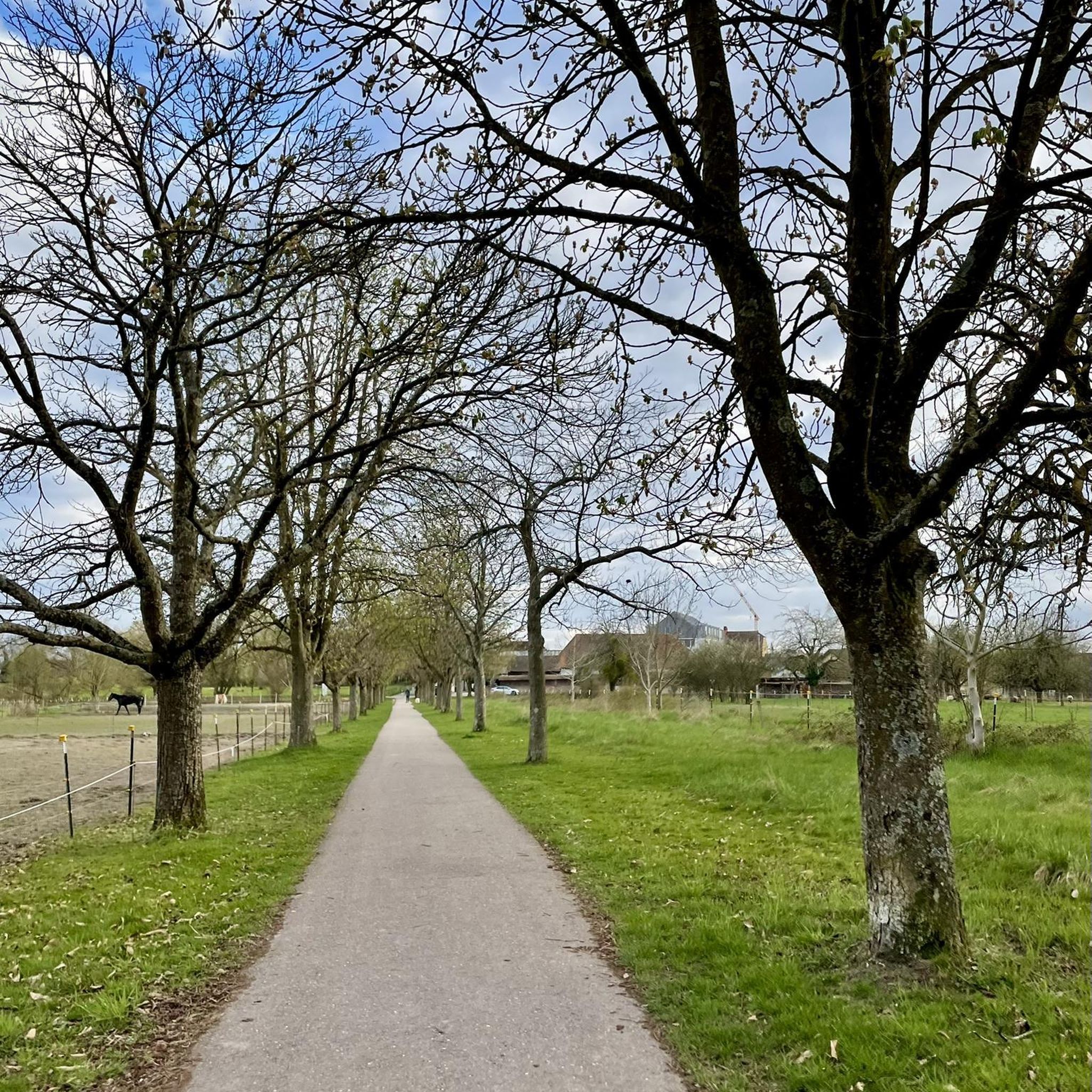
Family-friendly hikes around Little Malvern

Family-friendly hikes around Castlemorton

Family-friendly hikes around West Malvern
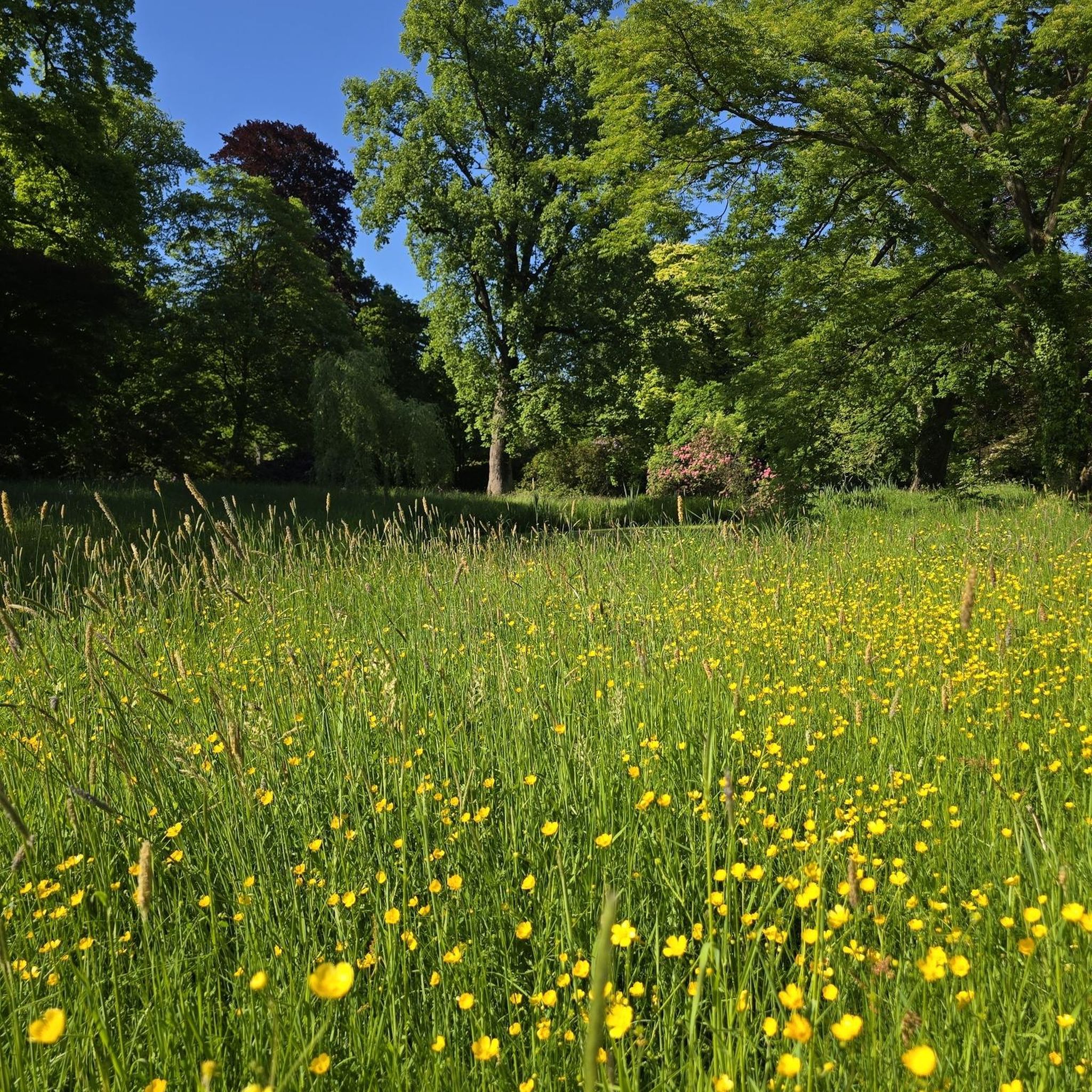
Family-friendly hikes around Croome D'Abitot

Family-friendly hikes around Martley

Family-friendly hikes around Shrawley
Family-friendly hikes around Suckley

Family-friendly hikes around Alfrick
Other adventures in the Malvern Hills


Tips from the Community

Pinnacle Hill isn't really much of a pinnacle, but it is the highest point between the Wyche and Wynds Point, and as such is a fine viewpoint in both directions.
0
0
This little top is a fine viewpoint both north to Perseverance Hill and beyond to the Worcester Beacon, and south to Pinnacle Hill.
0
0
There are quite a number of these direction arrow stones on the Malverns, they look good and they are very informative.
0
0
Sugar Loaf hill is to be recommended, but unfortunately the hill in the centre of this picture is North Hill. Sugar Loaf Hill is on the extreme left of the picture, just about in shot.
0
0
Summer Hill is a bit of a bump in between the Beacon and the Wyche Cutting, however it's steep southern aspect does afford some of the best views along the Malvern Hills ridge, particularly when there is an Inversion happening.
0
0
Between North Hill and The Beacon (and Sugar Loaf Hill) this flat topped hill can get overlooked, but it does afford great views of the Beacon, and is photogenic in it's own right when covered in snow.
0
0
The Talbot is a particular favourite, they brew their own selection of excellent beers, and the food is superb too! It is also in a great location alongside the River Teme and below Ankerdine Hill. The little chapel in the photo above is actually the Knightwick Mortuary Chapel, and it is up a nearby hill, about 3/4 of a mile from the Talbot.
0
0

After the Mother of God, "MARY MAGDALENE" is the most frequently mentioned woman in the writings of the New Testament. Originally called "Mary of Magdala"—after her place of origin on the Sea of Galilee—the name "Mary Magdalene" has evolved over time. According to the testimony of the evangelists, she is one of the women and men who followed Jesus Christ. According to the biblical accounts, Mary Magdalene is also one of the three who, after the crucifixion and burial of Jesus on Easter morning, wished to anoint the body of Jesus, and the very first person to ever meet the resurrected Christ. Pope Francis therefore honored her as 'Apostle of the Apostles', saying at a general audience: + "She shows us the God who knows us human beings, who cares for us, and who cares for our lives. Every person is a story of love that God is writing on earth. As with Mary Magdalene, the life of every Christian is immersed in this overflowing joy: We have a God at our side who calls us by name and raises us up, who, through his resurrection, transforms us and the world." The feast day of Saint Mary Magdalene in the calendar of saints is, in all major Christian denominations, July 22nd.
0
0
Frequently Asked Questions
How many family-friendly hiking trails are there in the Malvern Hills?
The Malvern Hills offer a fantastic selection of family-friendly hiking trails. Our guide features over 160 easy routes, perfect for families looking to explore the beautiful landscape.
What is the best time of year to go hiking with family in the Malvern Hills?
The Malvern Hills are beautiful year-round, but spring and autumn often provide the most comfortable hiking conditions for families, with pleasant temperatures and vibrant scenery. Spring brings wildflowers, while autumn offers stunning foliage. Summer can be lovely, but remember to bring plenty of water and sun protection. Winter hikes are also possible, offering crisp views, but trails can be muddy or icy, so appropriate footwear is essential.
What do other hikers enjoy most about family-friendly trails in the Malvern Hills?
The Malvern Hills are highly rated by the komoot community, with an average score of 4.55 stars. Reviewers often praise the breathtaking panoramic views, the diverse landscapes ranging from ancient woodlands to open grasslands, and the well-maintained network of paths that make it accessible for families. The unique geology and the historical significance of sites like the Iron Age hillforts also add to the appeal.
Are there easy or beginner-friendly routes suitable for families with young children or buggies?
Yes, the Malvern Hills offer many easy routes ideal for families, including some 'Miles Without Stiles' paths designed for wider accessibility. For a gentle introduction, consider the Croome Park loop, which is an easy 6 km hike with minimal elevation gain, perfect for a relaxed family outing.
What kind of natural features and landmarks can we expect to see on family hikes?
The Malvern Hills are rich in natural beauty and historical landmarks. You can explore ancient woodlands, wildflower meadows, and enjoy the pure spring water from natural springs like St. Ann's Well. Notable peaks include the Worcestershire Beacon Summit, offering panoramic views, and the historic Herefordshire Beacon (British Camp), an impressive Iron Age hillfort. Many routes also pass by beautiful viewpoints such as Summer Hill and Millennium Hill.
Are there any circular routes suitable for families?
Absolutely! Circular routes are often ideal for families as they bring you back to your starting point. A popular option is the Worcestershire Beacon Circular, a moderate 6 km hike that takes you to the highest point in the Malverns, offering incredible views. Another great choice is the Geopark Way: Worcestershire Beacon and Summer Hill Loop, a slightly shorter moderate loop with varied terrain.
Can we bring our dog on family hikes in the Malvern Hills?
Yes, the Malvern Hills are generally very dog-friendly, making them a great destination for family hikes with your canine companion. Many trails welcome dogs, but it's always best to keep them under control, especially around livestock or in nature conservation areas. Remember to bring water for your dog and clean up after them.
Are there places to eat or have a picnic along the family-friendly trails?
The Malvern Hills offer various spots for picnics with scenic views. Additionally, the nearby towns and villages, particularly Great Malvern, have numerous cafes, pubs, and restaurants where families can refuel after a hike. Some trails might pass by or be close to establishments offering refreshments.
What are the parking options for family hikes in the Malvern Hills?
There are numerous car parks located throughout the Malvern Hills, many of which are conveniently situated near popular trailheads. These are often managed by the Malvern Hills Trust and may require a small fee. It's advisable to check specific car park locations and charges before your visit, especially during peak seasons, to ensure a smooth start to your family adventure.
Are there any less crowded family-friendly walks in the Malvern Hills?
While popular spots like Worcestershire Beacon can get busy, especially on weekends, the Malvern Hills offer an extensive network of paths. To find quieter routes, consider exploring trails slightly off the main ridge or visiting during weekdays or outside of peak holiday times. The northern or southern ends of the hills often provide a more tranquil experience. The Suckley Hills on the Worcestershire Way loop from Knightwick, though longer, offers a chance to experience the wider area away from the main Malvern ridge.
Most popular routes in the Malvern Hills
Most popular attractions in the Malvern Hills

Get inspired with the komoot mobile app


Didn’t find what you were looking for?
Check out more Hikes throughout Malvern Hills below and find the perfect route in your destination.
Explore more
Browse the best Hikes in other regions.
