The best hikes from bus stations on the Derbyshire Dales
4.6
(23350)
134,706
hikers
1,148
hikes
Bus station hiking trails on the Derbyshire Dales traverse a landscape characterized by its distinctive limestone scenery, often referred to as the 'White Peak'. This region features deep, narrow valleys known as dales, carved by rivers such as the Lathkill and Dove. The terrain encompasses diverse grasslands, woodlands, and gritstone hills, offering varied environments for exploration. These features provide a range of hiking experiences, from gentle riverside paths to more challenging ascents.
Best bus station hiking trails on the Derbyshire…
Last updated: October 17, 2026
4.7
(131)
648
hikers
10.1km
02:42
120m
120m
Moderate hike. Good fitness required. Easily walkable paths.
4.9
(52)
237
hikers
11.2km
03:10
240m
240m
Moderate hike. Good fitness required. Mostly walkable paths. Sure-footedness required.

4.0
(13)
32
hikers
3.70km
01:04
90m
90m
Easy hike. Easily walkable paths.
4.7
(139)
423
hikers
18.0km
05:04
360m
360m
Hard hike. Very good fitness required. Easily walkable paths.
4.7
(143)
827
hikers
10.9km
03:05
220m
220m
Moderate hike. Good fitness required. Easily walkable paths.
Get access to more routes and recommendations from other explorers.
Already have an account?
Our route recommendations are based on thousands of hikes, rides, and runs completed by other people on komoot.
Start today with a free account
Your next adventure awaits.
Popular around Derbyshire Dales
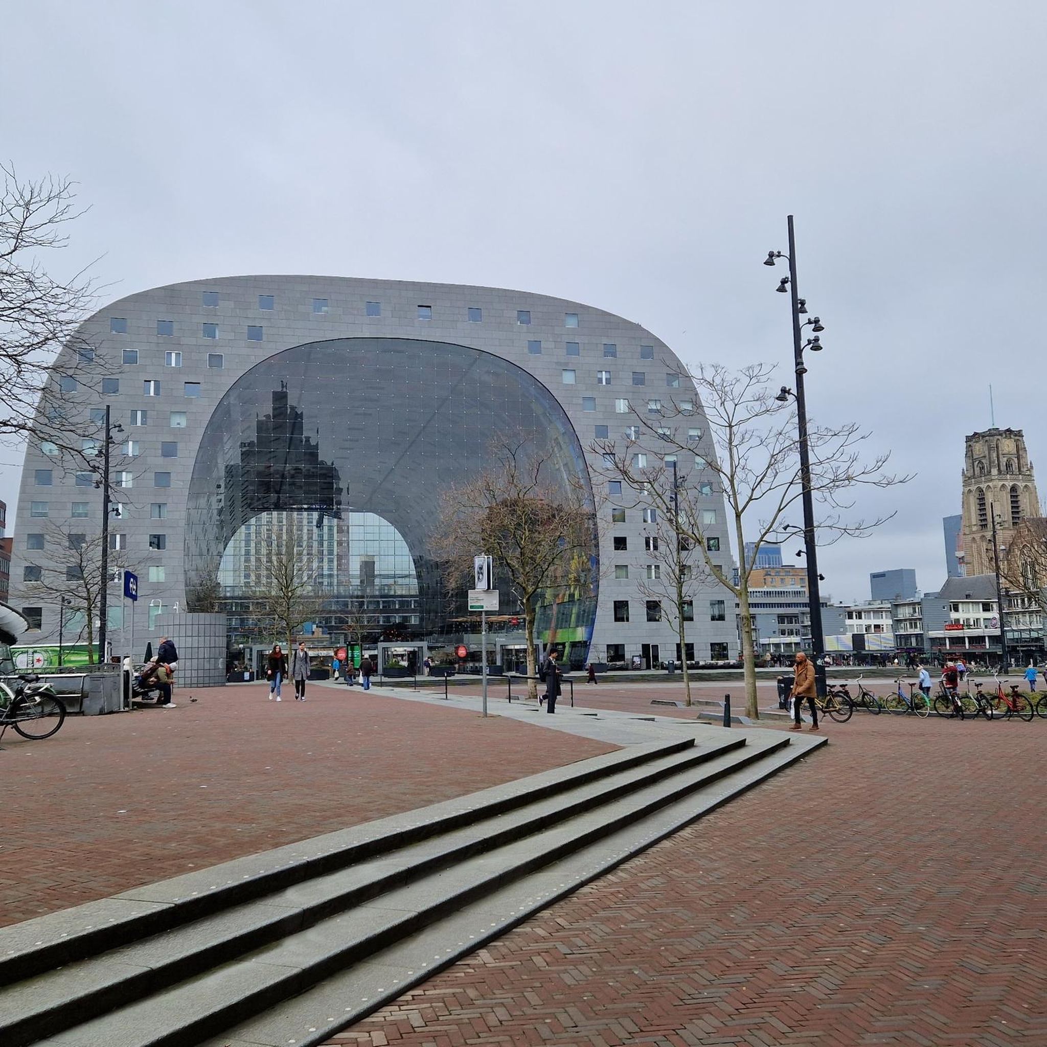
Hikes from bus stations around Grindleford
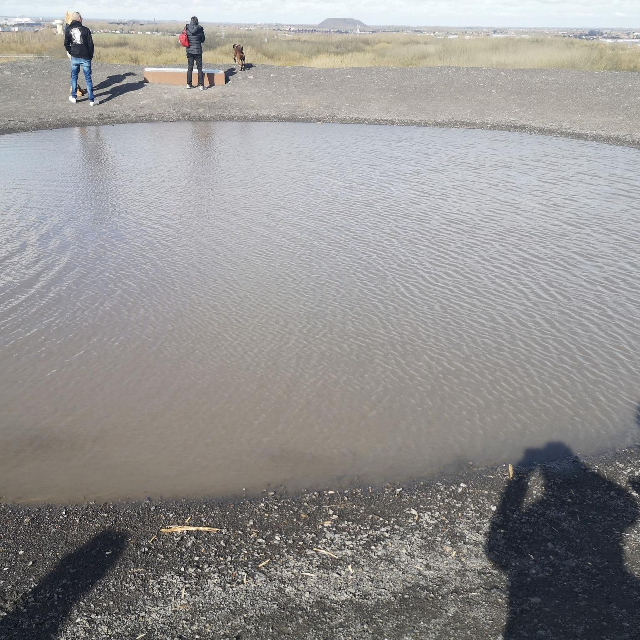
Hikes from bus stations around Bakewell

Hikes from bus stations around Baslow and Bubnell CP

Hikes from bus stations around Tideswell

Hikes from bus stations around Cromford

Hikes from bus stations around Taddington
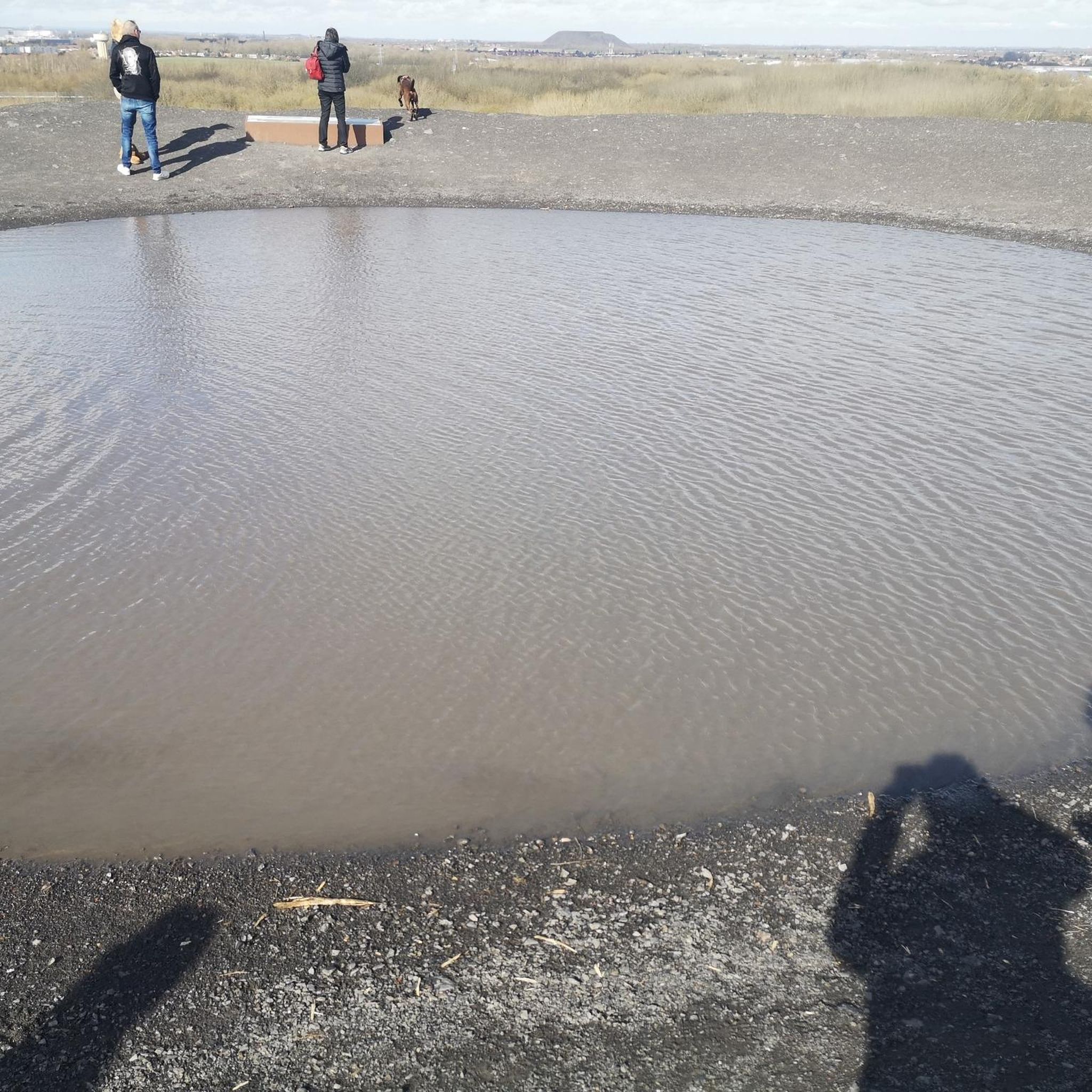
Hikes from bus stations around Monyash
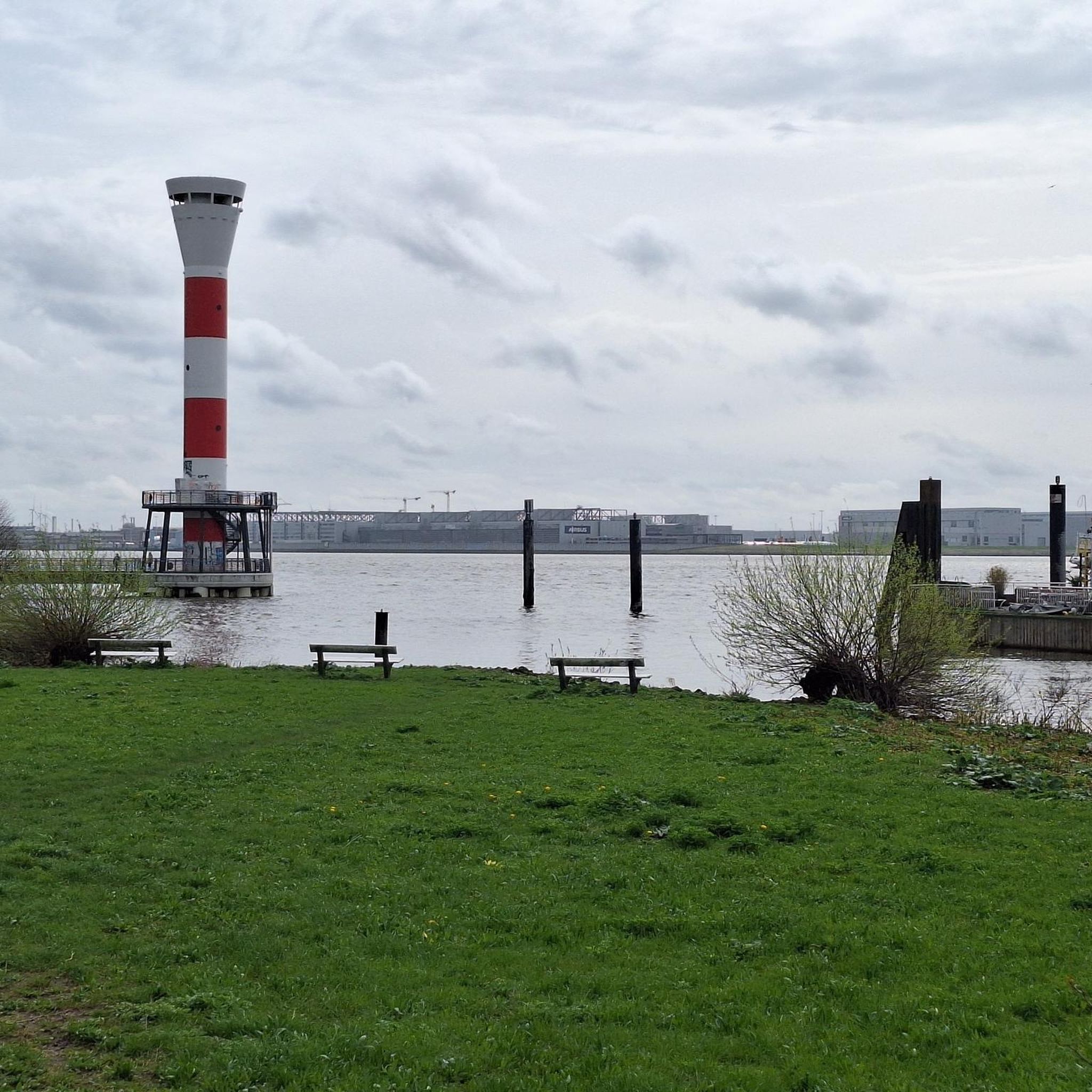
Hikes from bus stations around Hathersage
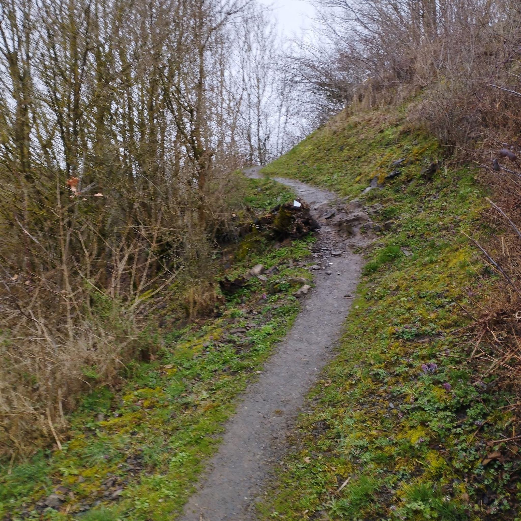
Hikes from bus stations around Froggatt Wood
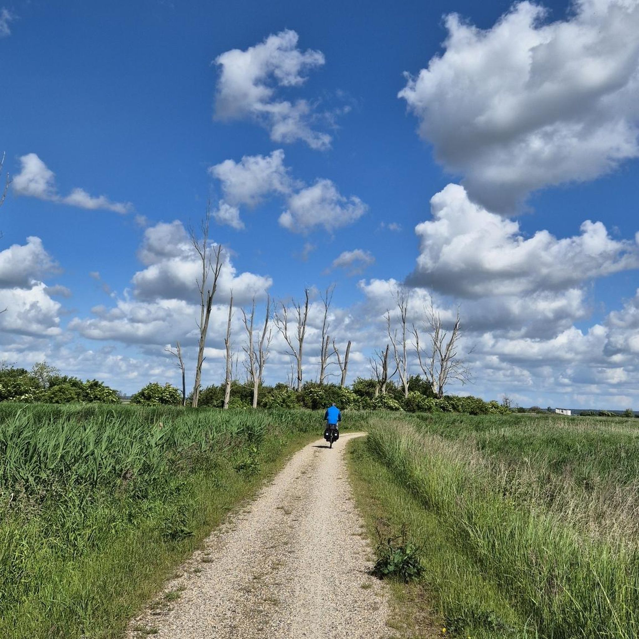
Hikes from bus stations around Youlgreave


Tips from the Community

The millstone grit that mother cap is made from was laid down millions of years ago when large rivers from continental Scandinavia started depositing fluvial material on top of the limestone. The silt, sand and gravel that was being washed in by the large rivers was compressed and lithified (formed rock). This coarse grained sandstone is called millstone grit and this is what makes up the prominent landscape. Wind, rain and freeze-thaw wore away the softer layers of rock giving the unique “mushroom” shape that she has today
0
0

Great rock formation near Owler Tor, good walk up from suprise view car park
0
0

Nice area to stop by, have a snack and enjoy the peaceful noise of a running stream. Don't stop if you need to pee haha! :)
0
0


Owler Tor is a collection of striking gritstone formations set in heather covered moorland which creates a particularly spectacular backdrop in August, when it can be surrounded by a sea of purple. The Tor is great for exploring and bouldering, and as it's only a few minutes walk from Surprise View car park, it's a popular destination.
1
0
Frequently Asked Questions
How many hiking routes are accessible from bus stations in the Derbyshire Dales?
There are over 1,100 hiking routes in the Derbyshire Dales that are accessible from bus stations. These routes cater to various skill levels, with nearly 500 easy trails, over 570 moderate options, and around 80 more challenging hikes.
Are there any easy, family-friendly walks accessible by bus in the Derbyshire Dales?
Yes, the Derbyshire Dales offers many easy, family-friendly walks accessible by bus. An excellent option is the Lumsdale Valley Trail, which is an easy 3.7 km hike. The Monsal Trail is also a traffic-free route, ideal for families, and can be accessed from various points by bus.
What are some popular circular routes that can be started from a bus station?
For a popular circular route, consider the Monsal Trail and Ashford-in-the-Water Circular. This moderate 10 km hike offers scenic views and the chance to explore the charming village of Ashford-in-the-Water.
Can I bring my dog on bus-accessible hikes in the Derbyshire Dales?
Many trails in the Derbyshire Dales are dog-friendly, but it's essential to keep dogs on a lead, especially when passing through livestock areas or nature reserves. Always check local signage. Public transport operators may have specific rules regarding dogs, so it's advisable to confirm with the bus company before travelling.
What natural features or viewpoints can I expect to see on these bus-accessible trails?
The Derbyshire Dales are rich in natural beauty. On trails like the Higger Tor, Mother Cap & Burbage Valley loop, you can experience dramatic gritstone escarpments and expansive views. Other routes might take you through picturesque limestone dales like Lathkill Dale with its clear river, or Monsal Dale, famous for Monsal Head and the iconic Headstone Viaduct. You might also encounter peaks like Chrome Hill or Thorpe Cloud, offering rewarding vistas.
Are there any less crowded bus-accessible hikes for a quieter experience?
While popular spots like Monsal Dale can get busy, exploring some of the lesser-known dales such as Wolfscote Dale, Chee Dale, or Deep Dale can offer a quieter experience. These areas, part of the Derbyshire Dales National Nature Reserve, provide excellent examples of the region's wildlife and geology, often with fewer crowds.
What is the best season for bus station walks in the Derbyshire Dales?
The best times for hiking in the Derbyshire Dales are generally spring and autumn. During these seasons, the weather is typically pleasant, and the landscapes are particularly beautiful, with blooming wildflowers in spring or vibrant foliage in autumn. Summer can also be great, but trails may be busier, and winter can be challenging due to colder weather and potentially icy conditions.
What do other hikers enjoy most about the bus-accessible trails in the Derbyshire Dales?
The Derbyshire Dales is highly rated by the komoot community, with an average score of 4.6 stars. Reviewers often praise the diverse landscapes, from gentle riverside paths to challenging climbs, and the stunning natural beauty of the dales. The accessibility via public transport is also frequently highlighted as a major benefit.
Are there any historical sites or landmarks to see along bus-accessible routes?
Yes, the region is dotted with interesting historical sites. For example, you might encounter Fin Cop Hillfort, an ancient historical site, on some routes. The Monsal Trail itself follows a former railway line, featuring impressive tunnels and viaducts that are historical landmarks in their own right.
Where can I find more information about the Derbyshire Dales National Nature Reserve?
For more information about the Derbyshire Dales National Nature Reserve, including its diverse landscapes and conservation efforts, you can visit the Visit Buxton website.
Most popular routes on the Derbyshire Dales
Most popular attractions on the Derbyshire Dales

Get inspired with the komoot mobile app


Didn’t find what you were looking for?
Check out more Hikes throughout Derbyshire Dales below and find the perfect route in your destination.
Explore more
Browse the best Hikes in other regions.
