The best family-friendly hikes and walks around Thuin
4.4
(5480)
27,604
hikers
987
hikes
Family Friendly hikes Thuin are set within the Hennuyer Silty Plateau, offering a landscape of gently rolling terrain and fertile land. The region is characterized by significant wooded areas, such as the Bois du Grand Bon Dieu, providing ample opportunities for forest walking. The scenic River Sambre flows through the area, and unique terraced formations like the Hanging Gardens of Thuin add distinctive features to the local topography. This diverse environment provides varied settings for outdoor activities.
Best family friendly…
Last updated: August 10, 2026
4.0
(82)
335
hikers
10.1km
02:40
80m
80m
Moderate hike. Good fitness required. Easily-accessible paths. Suitable for all skill levels.
4.5
(93)
327
hikers
6.43km
01:43
70m
70m
Easy hike. Great for any fitness level. Easily-accessible paths. Suitable for all skill levels.

Sign up for free
4.5
(93)
325
hikers
6.28km
01:41
80m
80m
Easy hike. Great for any fitness level. Easily-accessible paths. Suitable for all skill levels.
3.8
(29)
203
hikers
23.0km
06:01
180m
180m
Hard hike. Very good fitness required. Easily-accessible paths. Suitable for all skill levels.
4.6
(202)
1,137
hikers
16.3km
04:15
110m
100m
Moderate hike. Good fitness required. Easily-accessible paths. Suitable for all skill levels.
Get access to more routes and recommendations from other explorers.
Sign up for free
Already have an account?
Our route recommendations are based on thousands of hikes, rides, and runs completed by other people on komoot.
Start today with a free account
Your next adventure awaits.
Login or Signup
Popular around Thuin

Family-friendly hikes around Étang de Virelles

Family-friendly hikes in Bois Robert

Family-friendly hikes in Bois Communal De Solre Et De Bersillies
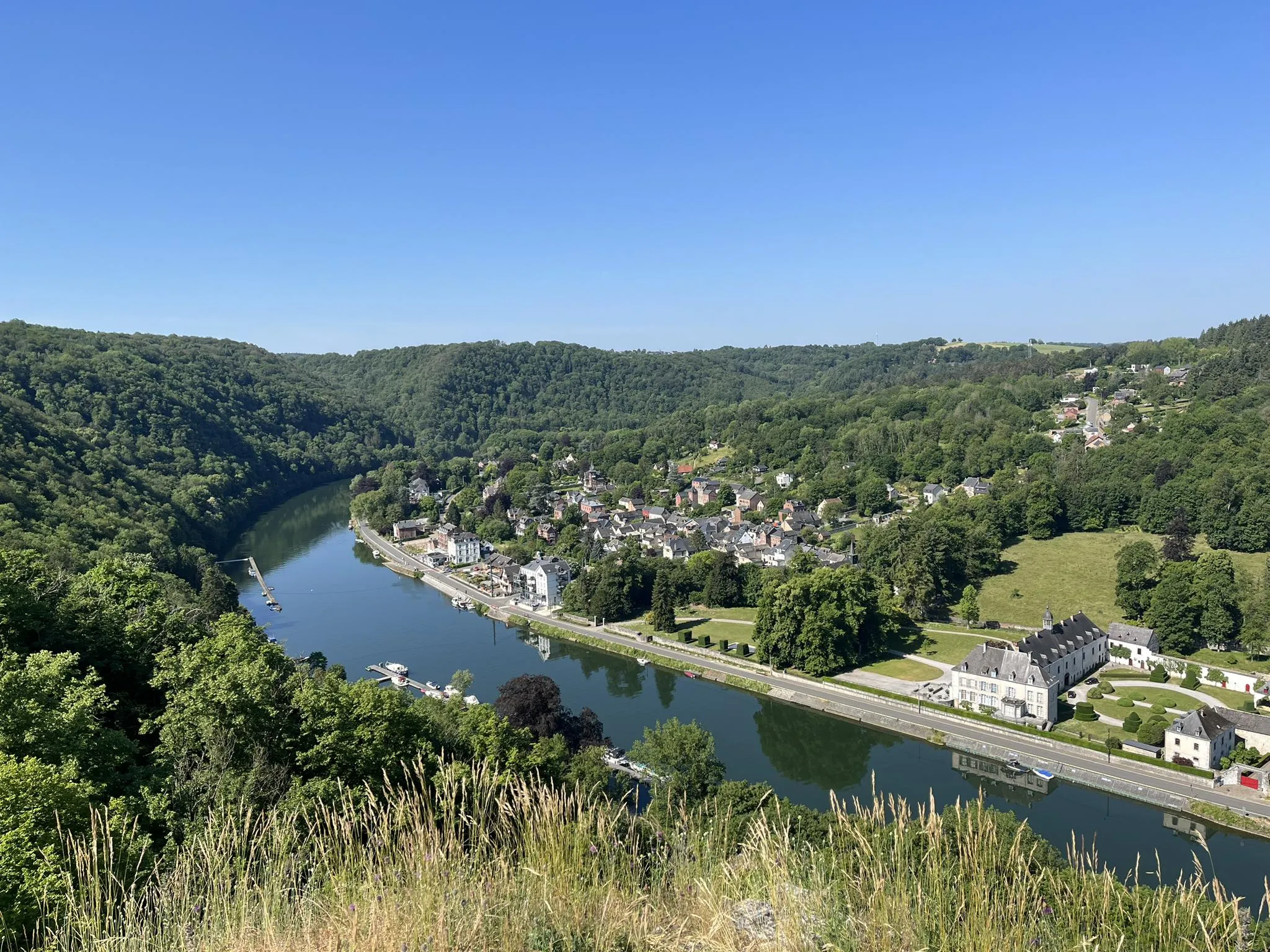
Sentier des abbayes trappistes part 1 – Between nature and gastronomy
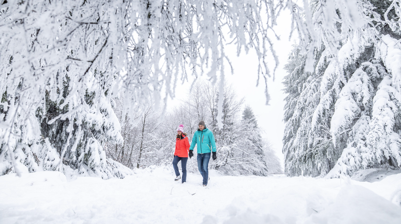
Belgian Ballads – winter hiking in the Belgian Ardennes
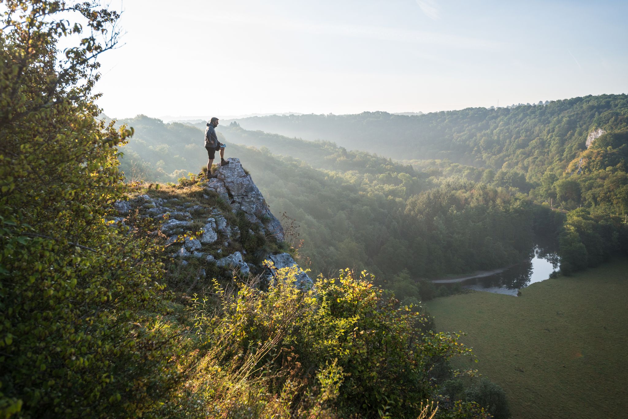
National Park between Sambre and Maas - Long distance hiking in Belgium on the GRP125
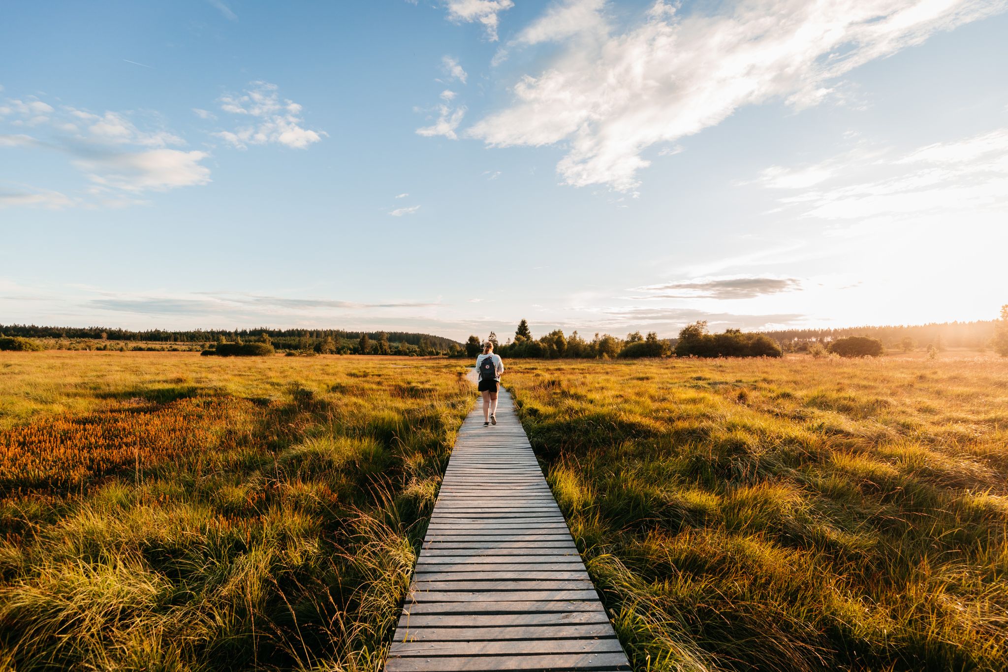
Unspoilt nature and wide views – hiking in Wallonia
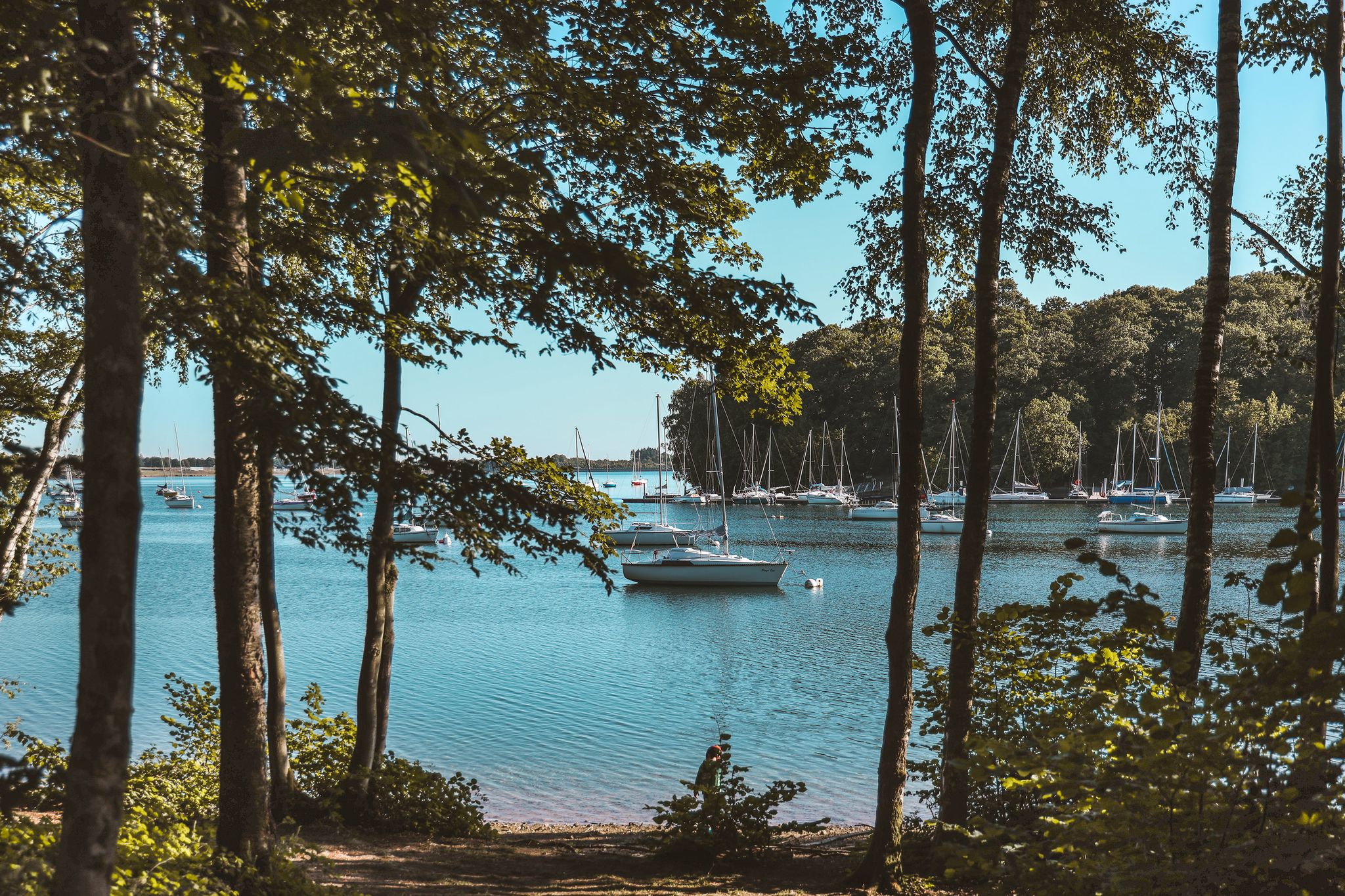
Waterside hikes – Belgium’s Eau d'Heure Lakes region
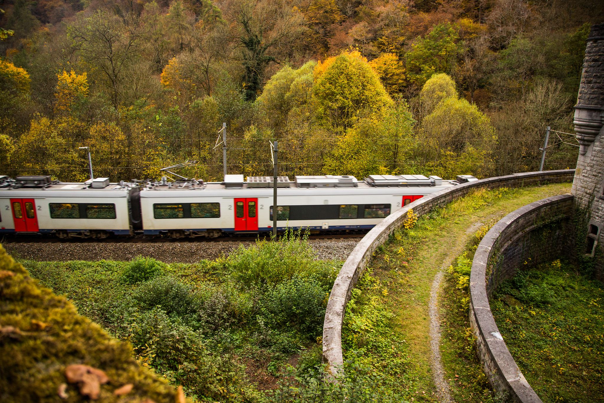
Exploring Belgium’s Wallonia — 8 hikes from station to station
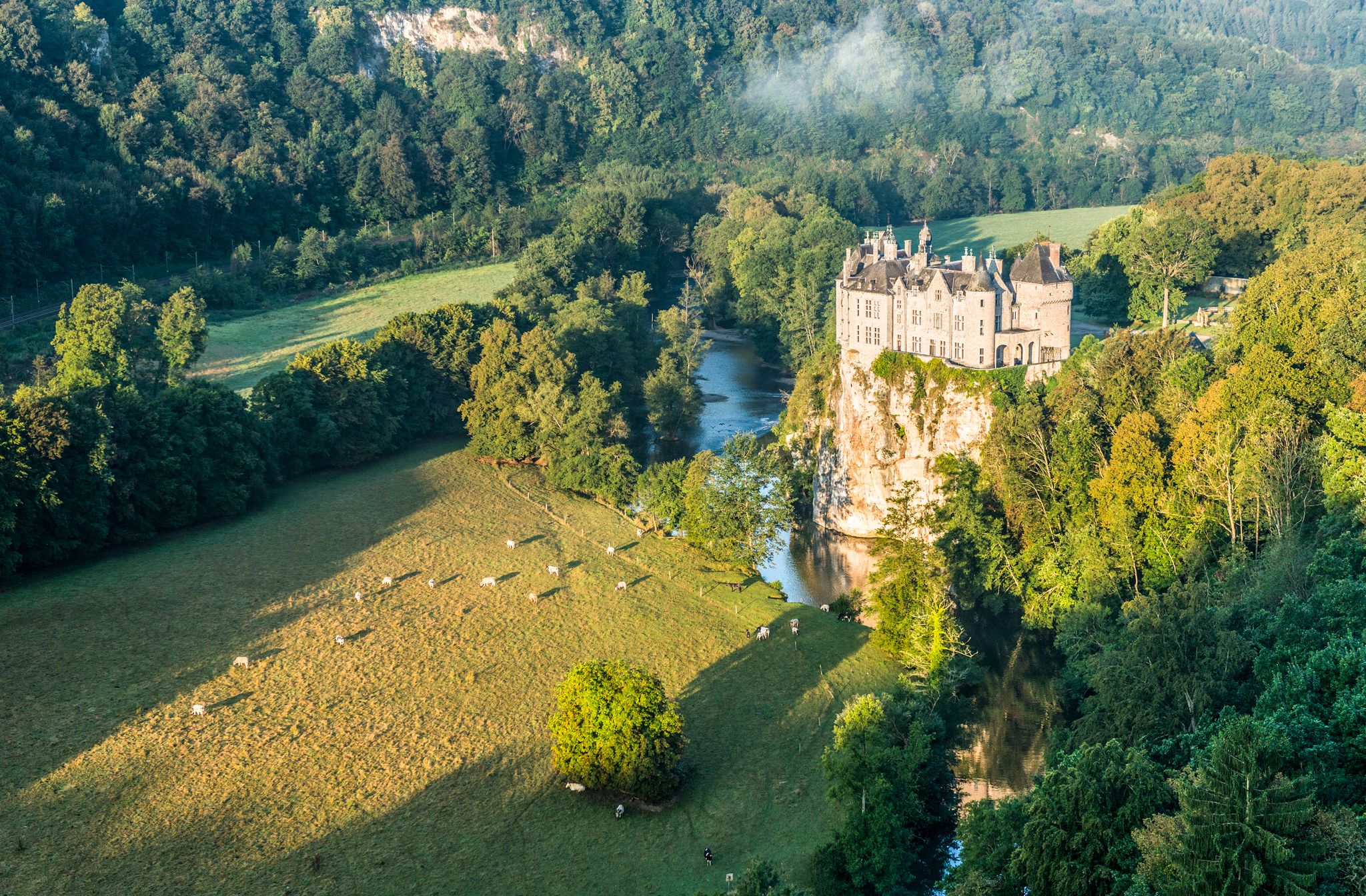
Pure nature on the hiking trails in the Belgian Ardennes
Other adventures around Thuin


Tips from the Community

The Plate-Taille Dam is located in southern Belgium in Wallonia, on the border of the provinces of Namur and Hainaut. The dam is situated near the villages of Froidchapelle and Cerfontaine and forms the central element of the Lacs de l’Eau d’Heure lake district, the largest artificial lake complex in the country. This area covers approximately 1800 hectares and consists of several interconnected lakes that together form a unique landscape of open water, wooded hills, and extensive recreational zones. Due to its location between the Ardennes and the Fagne, the area has a varied and gently rolling terrain. The origin of the dam dates back to the 1970s when Belgium faced water management problems. The Sambre River, an important waterway for industry and shipping, experienced highly fluctuating water levels. During dry periods, the water level dropped too low, which had economic consequences. To solve this problem, an ambitious project was launched, including the construction of a series of dams on the Eau d’Heure River and its tributaries. The construction of the Plate-Taille dam began around 1974 and was completed in 1981. As a result of its construction, five lakes were created: * Plate Taille (the largest and deepest) * Eau d’Heure * Falemprise * Ry Jaune * Féronval The construction brought about a major change for the region. Certain areas were submerged, and residents had to relocate. At the same time, this project laid the foundation for a new economic model based on tourism and recreation. The Plate-Taille dam is the largest dam in Belgium and an impressive example of modern hydraulic engineering. The Plate Taille lake itself has a surface area of approximately 350 hectares and is the largest and deepest lake in Belgium. The dam holds back an enormous mass of water and literally forms the heart of the entire lake district. One of the dam's main functions is energy generation through a pumped-storage power plant. * Capacity: ± 140 megawatts * Number of turbines: 4 (reversible) * Type: pumped-storage power plant System Operation The system operates on a clever principle: * During low energy demand, water is pumped to a higher reservoir. * During high energy demand, the water flows back down through turbines, generating electricity. This makes the plant particularly valuable for stabilizing the electricity grid, especially in combination with renewable energy sources such as wind and solar power. Around the dam lies a surprisingly rich nature reserve. The combination of water, forests, and open plains ensures great biodiversity. The landscape is characterized by: * Dense deciduous and coniferous forests * Open grasslands * Reed beds along the banks * Quiet bays and small islands Animals found here include: * Roe deer * Foxes * Waterfowl such as grebes and cormorants * Birds of prey The creation of the lakes has led to new ecosystems where flora and fauna have adapted to the water-rich environment. For someone who enjoys long and challenging hikes, like myself, this area is ideal, and you can easily create routes of several hours here without much crowds. 🚴♂️ Cycling and Recreation Besides hiking, the area is also popular with: * Road cyclists (hilly terrain) * Mountain bikers * Families (flat cycling paths around the lakes) There are well-maintained cycling routes that connect the entire lake district. 🚤 Water Sports and Activities The Lacs de l’Eau d’Heure are the center for water sports in Belgium. Possibilities: * Sailing * Kayaking * Windsurfing * Diving (in certain zones) * Swimming Motorized water sports are permitted to a limited extent, which contributes to a relatively calm and natural atmosphere. 🧭 Tourist Facilities The area is highly developed for visitors without losing its natural charm. Key attractions: * Skywalk Plate-Taille – a panoramic tower with views over the entire area * Natura Parc L’Eau d’Heure – adventure park with climbing routes and zipline * Marinas and beach areas * Holiday parks and campsites This makes the area suitable for both day trips and longer stays.
0
0

Beautiful hike, I was just expecting to see the lake but that is not the case, we go around it but not close!
1
1

quietness of the pond where we observe birds
1
1
beautiful typical village
4
0

Strolling along the water and a view over the lake
1
0

Lompret is recognized as one of the Most Beautiful Villages in Wallonia. Nestled in a meander of the Eau Blanche, it preserves a rich historical and natural heritage. The village was formerly occupied by a Gallic, then Roman fortification, before welcoming a feudal castle whose ruins still remain. Attractions include St. Nicholas Church and the magnificent 18th century bridge. Lompret is also famous for the discovery in 1872 of a monetary treasure at the site of the Roman camp.
1
0

Via a short but tiring slope you reach a viewpoint on Lake Virelles, where you also have the Aquascope. Opposite the bench on the blue walking trail you can continue a few meters in the direction of the lake. There you have the best view, which is also marked on the map as a viewpoint.
10
0
The Eau Blanche is a special river in Belgium with a length of approximately 42.5 km. The river originates at an altitude of 250 meters in Seloignes, in the south of the province of Hainaut. It flows through the town of Chimay and then eastwards through the Calestienne, where it breaks through a narrow valley near Lompret to reach the Fagne depression at Aublain.
10
0
Frequently Asked Questions
How many family-friendly hiking trails are available around Thuin?
Thuin and its surroundings offer a vast network of trails, with nearly a thousand hiking routes in total. For family-friendly options, you'll find over 340 easy trails, ensuring plenty of choices for all ages and abilities.
What kind of landscapes can we expect on family hikes in Thuin?
Family hikes in Thuin offer a delightful mix of landscapes. You can explore the unique Hanging Gardens of Thuin with their terraced vineyards and micro-climate, wander through the enchanting Bois du Grand Bon Dieu, or discover the rich biodiversity of the Labuissière Nature Reserve. Many trails also provide scenic views of the River Sambre and traverse the gently rolling Hennuyer Silty Plateau.
Are there any easy circular routes suitable for families with young children?
Yes, there are several easy circular routes perfect for families. For example, the Lompret and the wild waters of the Eau Blanche tour is an easy 6.2 km loop that takes about 1 hour 40 minutes, offering pleasant scenery without significant elevation changes. Another great option is the Promenade de l'Eau Blanche, an easy 6.4 km route.
What are some interesting landmarks or natural features to look out for on family hikes?
Thuin's family hikes are rich with points of interest. You can discover the historic Château d'Hourpes, or enjoy the panoramic views from the Belfry of Thuin. Nature lovers will appreciate the Labuissière Nature Reserve, known for its heron nesting sites, and the picturesque vineyards within the Hanging Gardens. The Bois du Grand Bon Dieu also offers adventure course activities for older children.
Are there any hikes that feature lakes or water views?
Absolutely! The region around Thuin is dotted with beautiful lakes and offers routes with stunning water views. Consider the Ronde des Lacs, a moderate 10 km route that explores the Entre-Sambre-et-Meuse National Park. You can also find highlights like the impressive Plate-Taille Dam and the Eau d'Heure Dam, which are part of larger lake systems perfect for family exploration.
What is the best time of year for family hiking in Thuin?
Thuin is wonderful for family hiking throughout the year, but each season offers a unique charm. Spring brings blooming flora, while summer provides warm, sunny days perfect for longer excursions. Autumn is particularly vibrant in areas like the Bois du Grand Bon Dieu, with colorful leaves covering the ground. Even winter can be enjoyable for crisp walks, though some paths might be muddy.
Are there any dog-friendly hiking trails in Thuin?
Many trails in Thuin are dog-friendly, allowing you to bring your furry family members along. It's always a good idea to keep dogs on a leash, especially in nature reserves like Labuissière, to protect local wildlife. Always check specific trail regulations or local signage for any restrictions.
What do other hikers enjoy most about hiking in Thuin?
The komoot community highly rates the hiking experience in Thuin, with an average score of 4.4 out of 5 stars from over 4,500 ratings. Reviewers often praise the diverse scenery, from historic gardens to tranquil forests and scenic river views, as well as the well-maintained paths suitable for families.
Are there any longer, more challenging family hikes for older children or experienced families?
For families seeking a greater challenge, there are longer routes available. The Plate Taille Dam – Eau d'Heure Dam loop is a moderate 16.3 km hike that takes around 4 hours 15 minutes, offering extensive lake views and a good workout. For very active families, the Eau d'Heure Loop Trail is a difficult 22.9 km route, best suited for older, more experienced hikers.
Is public transport or parking available near family-friendly trailheads?
Thuin is well-connected, and many trailheads are accessible. While specific parking details vary by route, you'll generally find parking options in and around the town, as well as near popular attractions. For public transport, local bus services connect various parts of Thuin and its surrounding villages. It's advisable to check local transport schedules when planning your trip.
What should we pack for a family hike in Thuin?
For a comfortable family hike in Thuin, pack essentials like water, snacks, and appropriate footwear for varying terrain. Depending on the weather, layers of clothing, rain gear, and sun protection are recommended. Don't forget a first-aid kit, a map or GPS device, and binoculars for birdwatching in areas like the Labuissière Nature Reserve.
Most popular routes around Thuin
Most popular attractions around Thuin

Get inspired with the komoot mobile app


Didn’t find what you were looking for?
Check out more Hikes throughout Thuin below and find the perfect route in your destination.
