The best traffic-free bike rides around Waasmunster
4.3
(79)
1,641
riders
82
rides
Gravel biking around Waasmunster offers diverse terrain, characterized by the Durme River valley with its dikes and meadows, alongside a unique cuesta landscape. The region features sandy ridges and extensive pine forests, such as the Heide van Waasmunster and Ketelbossen, providing numerous off-road cycling opportunities. Its undulating topography, including the "Berg van Waasmunster," contributes to a dynamic gravel biking experience.
Best no traffic gravel bike trails around Waasmunster
- The most popular no traffic gravel bike trail is Molsbroek Nature Reserve…
Last updated: August 10, 2026
4.0
(2)
97
riders
47.4km
02:55
180m
180m
Moderate gravel ride. Good fitness required. Mostly paved surfaces. Suitable for all skill levels.
53
riders
62.1km
03:48
70m
70m
Moderate gravel ride. Good fitness required. Mostly paved surfaces. Suitable for all skill levels.

Sign up for free
3.0
(1)
43
riders
48.0km
02:47
50m
50m
Moderate gravel ride. Good fitness required. Mostly paved surfaces. Suitable for all skill levels.
31
riders
51.1km
03:10
70m
70m
Hard gravel ride. Good fitness required. You may need to push your bike for some segments of this route.
4.0
(1)
22
riders
63.2km
03:46
90m
90m
Moderate gravel ride. Good fitness required. Mostly paved surfaces. Suitable for all skill levels.
Get access to more routes and recommendations from other explorers.
Sign up for free
Already have an account?
Our route recommendations are based on thousands of hikes, rides, and runs completed by other people on komoot.
Start today with a free account
Your next adventure awaits.
Login or Signup

Other adventures around Waasmunster

Tips from the Community

The Molenbeek forms part of the northern border of the municipality of Sint-Niklaas with the municipalities of Sint-Gillis-Waas and Stekene. Hydrographically, the Molenbeek belongs to the basin of the Gentse Kanalen. Previously, the Molenbeek originated in the center of Sint-Niklaas, at the site where the Romain De Vidtspark is now located. Nowadays, the stream flows through the entire Sint-Niklaas center from south to north in culverts, to re-emerge on the surface at the edge of Belsele and then flow through Sinaai until it flows into the Stekense Vaart. From that confluence, a path follows the banks of the stream for a considerable distance.
2
0

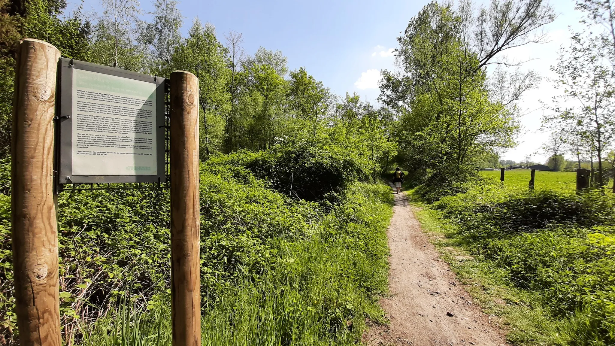
Where cyclists and hikers can enjoy the landscape at their own pace.
0
0
Nice gravel path runs parallel to the Oude Durme. Benches invite you to linger.
2
0
Opened on October 1, 2012, the Brug Ter Beuken provides a safe and green connection to the city center. It has since become a fixed landmark in the landscape: the beautiful red cycle and footbridge that spans the Durme at the end of Vijgenstraat. The bridge is 21m long. Source: axiradio.be
4
0

most beautiful bridge in the world. Enough!
1
0

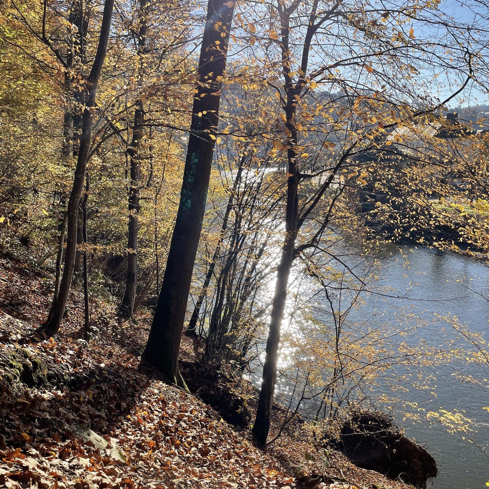
Beautiful nature, quiet environment
0
0

A fun technical piece. Especially for younger guys/girls, it's fun to show off their technique on all sorts of bumps, hills, etc.
0
0
Frequently Asked Questions
How many no-traffic gravel bike trails are available around Waasmunster?
There are nearly 60 dedicated no-traffic gravel bike trails around Waasmunster. These routes cater to various skill levels, with 20 easy, 26 moderate, and 12 difficult options, ensuring a suitable ride for everyone looking to explore the region's diverse landscapes away from cars.
What kind of terrain can I expect on gravel bike trails in Waasmunster?
Waasmunster offers a highly varied gravel biking experience. You'll encounter sandy ridges and extensive pine forests in areas like the Heide van Waasmunster and Ketelbossen, providing excellent off-road opportunities. The Durme River valley features picturesque paths along dikes, while the 'Oerwoud van Waasmunster' offers more technical sections with winding singletracks, tree roots, and even an ecoduct for a challenging ride.
Are there any circular no-traffic gravel routes in Waasmunster?
Yes, many of the no-traffic gravel routes in Waasmunster are designed as loops, allowing you to start and finish at the same point. An example is the Molsbroek Nature Reserve – Waasmunster Singletracks loop from Lokeren, which offers a moderate 52.7 km ride through varied terrain.
What are some natural features or viewpoints I can expect to see along the trails?
The trails often pass through beautiful natural areas. You might encounter the scenic Durme River valley, the sandy Heide van Waasmunster, or the dense Ketelbossen pine forests. Highlights like the Oude Durme Nature Reserve and the Hingenewiel offer tranquil spots and picturesque views.
Are there any family-friendly no-traffic gravel bike trails in Waasmunster?
While the guide focuses on gravel biking, many of the easier, traffic-free paths along the Durme River valley or through the less technical parts of the heathlands can be suitable for families. Look for routes categorized as 'easy' to find options with gentler gradients and smoother surfaces.
What is the best time of year to go gravel biking in Waasmunster?
The sandy soil of areas like the Heide van Waasmunster and Ketelbossen ensures that many paths remain rideable throughout the year, even after rain. However, spring and autumn generally offer the most pleasant temperatures and vibrant scenery for gravel biking in the region.
What do other gravel bikers enjoy most about the no-traffic trails in Waasmunster?
The no-traffic gravel trails in Waasmunster are highly rated by the komoot community, with an average score of 4.4 stars. Reviewers often praise the diverse terrain, from sandy heathlands to technical singletracks, and the peaceful, car-free environment that allows for an immersive outdoor experience.
Are there any longer, more challenging no-traffic gravel routes for experienced riders?
Yes, for experienced riders seeking a longer and more challenging adventure, routes like the Moervaart Towpath – Moervaart Towpath in Moerbeke loop from Lokeren offer a moderate 74 km ride. The 'Oerwoud van Waasmunster' also provides technical sections with winding singletracks and roots for those looking for skill-testing terrain.
Can I find routes that combine natural beauty with historical or cultural points of interest?
Absolutely. While primarily focused on natural landscapes, some routes may pass by or near historical sites. For instance, you might find trails that lead you close to the former Duck Decoy and Keeper's Cottage Donkmeer or the Haasdonk Fort, offering a blend of nature and local heritage.
Are there any specific areas known for technical gravel biking in Waasmunster?
For technical gravel biking, the 'Oerwoud van Waasmunster' is highly recommended. This area, located on the border of Waasmunster, Belsele, and Sinaai, is known for its winding singletracks, deep ruts, tree roots, and occasional tree trunks, providing a true challenge for skilled riders. The Ter Beuken Bicycle Bridge – Donkmeer loop from Lokeren is also rated as difficult, indicating more technical sections.
What are the typical distances of the no-traffic gravel bike trails?
The no-traffic gravel bike trails around Waasmunster vary significantly in length. You can find routes ranging from shorter rides to longer excursions. For example, the Ter Beuken Bicycle Bridge – Liniewegel Singletrack loop from Lokeren is about 46 km, while the Path Along the Molenbeek – Stiltepad Gravel Path loop from Belsele extends to over 62 km, offering options for different endurance levels.
Most popular routes around Waasmunster
Most popular attractions around Waasmunster

Get inspired with the komoot mobile app


Explore more
Browse the best Gravel rides in other regions.
