The best traffic-free bike rides around Varese Ligure
4.7
(149)
1,979
riders
30
rides
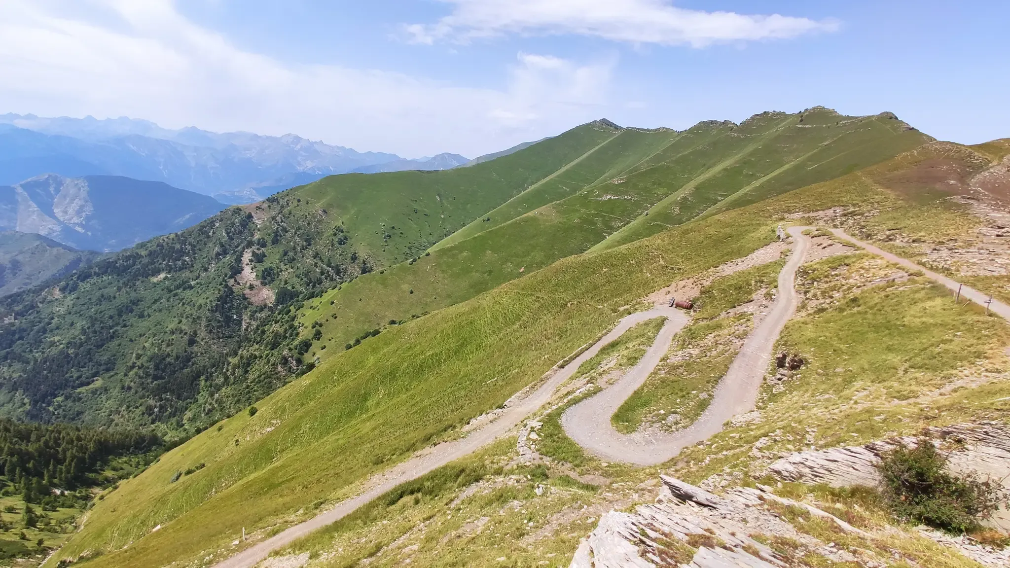
No traffic touring cycling routes around Varese Ligure traverse a region characterized by diverse and unspoiled natural landscapes within the Val di Vara, often recognized as Italy's first organic valley. The terrain features a varied composition of forests, mountains, and valleys, with the Ligurian Apennines providing a dramatic backdrop and challenging ascents. Cyclists encounter mountain passes, extensive grasslands, and pristine natural environments away from urban areas.
Best no traffic touring cycling routes around Varese Ligure
- The most popular no traffic…
Last updated: August 24, 2026
4.0
(2)
44
riders
41.4km
04:14
1,240m
1,240m
Hard bike ride. Very good fitness required. You may need to push your bike for some segments of this route.
23
riders
21.4km
02:36
1,020m
1,020m
Hard bike ride. Very good fitness required. Mostly paved surfaces. Suitable for all skill levels.

Sign up for free
26
riders
30.3km
03:32
1,230m
1,230m
Hard bike ride. Very good fitness required. Mostly paved surfaces. Suitable for all skill levels.
20
riders
24.4km
02:21
680m
680m
Hard bike ride. Very good fitness required. Mostly paved surfaces. Suitable for all skill levels.
20
riders
39.6km
03:51
1,330m
1,330m
Hard bike ride. Very good fitness required. Mostly paved surfaces. Suitable for all skill levels.
Get access to more routes and recommendations from other explorers.
Sign up for free
Already have an account?
Our route recommendations are based on thousands of hikes, rides, and runs completed by other people on komoot.
Start today with a free account
Your next adventure awaits.
Login or Signup

Other adventures around Varese Ligure

Tips from the Community

I went back after a year. The place is still beautiful, but I found the refuge a bit dirty around it: wrappers, abandoned bottles, cans, etc. All right around the refuge's own tables. In these places I would prefer to see a bit more care... I understand an unmanaged refuge, but in this case it wouldn't take much...
1
0
Good spot for a stop. Easy to reach
0
0
It is easily well marked along the forest road.
0
0
Beautiful hiking structure located at 1,400 meters, surrounded by beech trees and positioned on the border with the municipalities of Bedonia and Tornolo for the province of Parma, and Santo Stefano d'Aveto for the metropolitan city of Genoa. Too bad it is never open despite the structure being recent and in good condition.
0
0
Beautiful pass of the Ligurian Apennines located at 1,468 meters. Strategic point that offers various alternatives to start a walk or a long hike.
0
0
Pass of the Ligurian Apennines located at an altitude of 1,452 m, it is reachable by car and is a crossroads where various hiking trails branch off.
0
0
Born from the recovery of old barracks, it is a beautiful refuge where you can both eat and stay overnight. The location is stunning and makes it a must-stop when visiting these areas.
0
0
A beautiful mountain pass at 1,400 meters. There's a refuge, a small chapel, a monument—in short, everything you'd expect in a place like this. There's even a small clothing store. The only thing that's jarring is the constant noise of a combustion engine, which I assume is a generator for the refuge's operation.
1
0
Frequently Asked Questions
How many no-traffic touring cycling routes are available around Varese Ligure?
Komoot offers nearly 30 dedicated no-traffic touring cycling routes around Varese Ligure. These routes allow you to explore the region's 'uncontaminated, almost wild' natural beauty away from vehicular traffic, focusing on the serene landscapes of the Val di Vara.
What kind of terrain can I expect on these traffic-free touring routes?
The terrain around Varese Ligure is varied, featuring forests, mountains, and valleys within the Ligurian Apennines. You'll encounter a mix of pleasant climbs and exhilarating descents, often on quiet, well-maintained roads. The region is known for its 'Alpine panorama' in some higher passes, offering diverse cycling experiences.
Are there any easy no-traffic touring routes for beginners or families?
While Varese Ligure is renowned for its challenging climbs and difficult routes, the majority of the no-traffic touring cycling routes are rated as difficult. There are currently no easy routes listed, and only a couple are moderate. Cyclists should be prepared for significant elevation gains and longer distances.
What are some notable natural features or landmarks I can see along these routes?
The region is rich in natural beauty and historical sites. You can cycle past significant mountain passes like Bracco Pass, known for its panoramic views, or experience the challenging ascent to Passo di Cento Croci. Don't miss the Marco Pantani Fountain at Guaitarola Pass, a tribute to cycling history. For nature lovers, Bargone Lake is a biodiversity hotspot.
Are there any circular no-traffic touring routes available?
Yes, many of the no-traffic touring routes around Varese Ligure are circular, allowing you to start and end in the same location. An example is the challenging Passo di Cento Croci (1,055 m) – Passo della Cappelletta loop from Varese Ligure, which offers a significant climb and rewarding views.
What is the best time of year to go touring cycling in Varese Ligure?
The varied terrain of Varese Ligure, including mountain passes, suggests that spring and autumn offer the most pleasant conditions for touring cycling. Summers can be warm, especially in the valleys, while higher passes might experience snow in winter. Checking local weather conditions before your ride is always recommended.
What do other touring cyclists enjoy most about cycling in Varese Ligure?
The komoot community highly rates the touring cycling experience in Varese Ligure, with an average score of nearly 4.9 stars from over 50 ratings. Cyclists frequently praise the region's 'pristine nature,' the challenging yet rewarding climbs, and the tranquility of the traffic-free routes that allow for deep immersion in the 'organic valley' environment.
Can I find routes that offer views of Monte Penna?
Yes, you can find routes that provide stunning views of Monte Penna, the highest peak in the Spezzino Apennines. Consider the View of Monte Penna from Alpe – Monte Penna Forest loop from Alpe for a challenging ride with expansive vistas.
Are there any routes that pass through or near the historic center of Varese Ligure?
While the no-traffic touring routes primarily focus on the surrounding natural landscapes, Varese Ligure's 'Borgo Rotondo' is an impeccably preserved medieval historic center. Many routes originate from or pass near the town, allowing you to explore its distinctive elliptical layout and the historic Fieschi Castle before or after your ride.
What is the longest no-traffic touring cycling route available?
Among the available no-traffic touring routes, the Passo del Chiodo – Incisa Pass loop from Tornolo is one of the longest, covering over 41 kilometers with significant elevation gain. This route offers a substantial challenge for experienced touring cyclists.
Are there any routes that include multiple mountain passes?
Yes, several routes are designed to incorporate multiple mountain passes, providing a comprehensive challenge and diverse scenery. For example, the Passo dei Due Santi – Climb to the Due Santi loop from Albareto combines two notable passes for an intense touring experience.
Most popular routes around Varese Ligure
Most popular attractions around Varese Ligure

Get inspired with the komoot mobile app


Explore more
Browse the best Cycling routes in other regions.
