The best traffic-free bike rides around Valtorta
4.6
(10)
90
riders
3
rides
Gravel biking around Valtorta offers diverse landscapes within the Italian Alps, characterized by majestic peaks, lush valleys, and alpine meadows. The region features a mix of provincial roads, cemented sections, and challenging dirt tracks, providing varied terrain for cyclists. Routes often include significant climbs, particularly closer to and above the village of Valtorta itself. This environment makes for engaging no traffic gravel bike trails with both physical challenge and scenic journeys.
Best no traffic gravel bike trails around Valtorta
- The…
Last updated: July 14, 2026
5.0
(1)
18
riders
50.7km
04:17
1,460m
1,460m
Hard gravel ride. Very good fitness required. Mostly paved surfaces. Suitable for all skill levels.
5.0
(1)
12
riders
43.1km
03:37
1,490m
1,490m
Hard gravel ride. Very good fitness required. Mostly paved surfaces. Suitable for all skill levels.

Sign up for free
3.0
(1)
4
riders
19.4km
02:10
970m
960m
Hard gravel ride. Very good fitness required. Mostly paved surfaces. Suitable for all skill levels.
Our route recommendations are based on thousands of hikes, rides, and runs completed by other people on komoot.
Start today with a free account
Your next adventure awaits.
Login or Signup
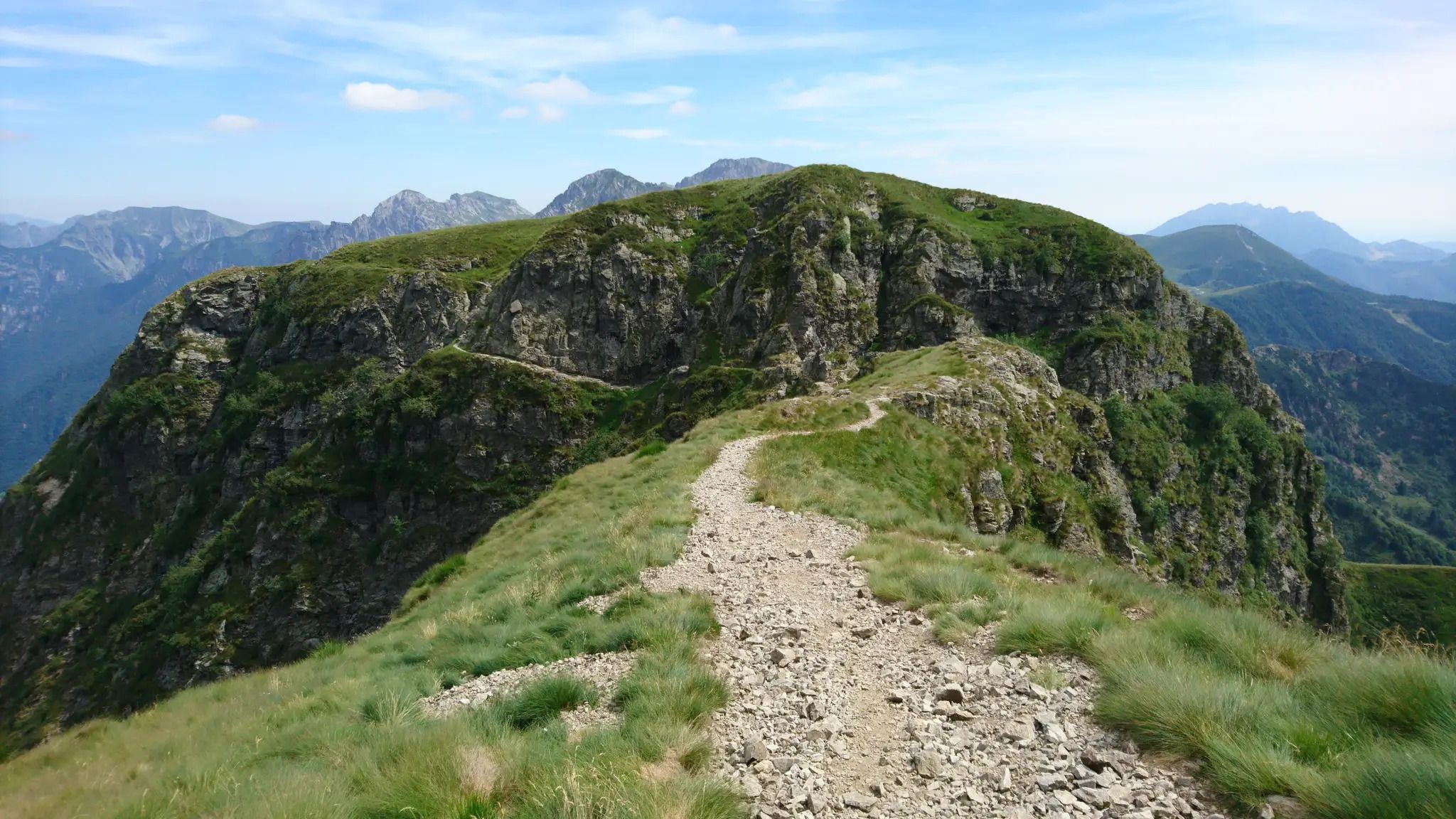
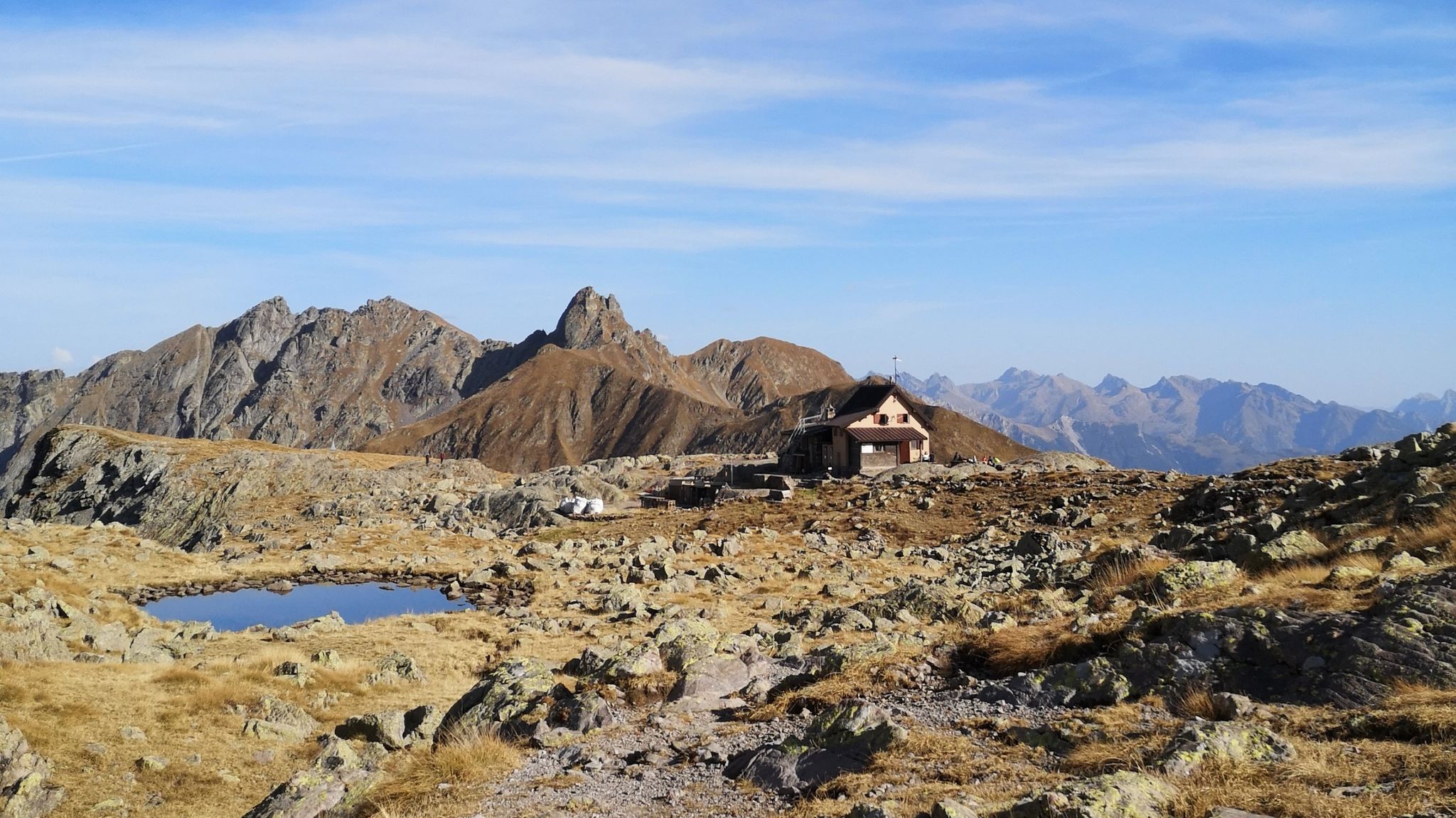

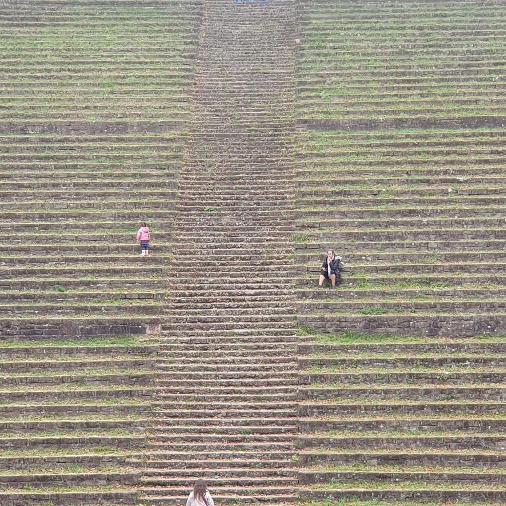

Tips from the Community

The Valsassina cycle-pedestrian path is an entirely asphalted cycle-pedestrian route that connects the municipalities of Barzio and Taceno, in the province of Lecco. The route develops along the valley floor for about 13.4 kilometers (about 26 km round trip), running alongside the Pioverna stream and offering splendid views of the Grigne and the surrounding mountains.
0
0

Panoramic trail to Larice Bruciato https://youtu.be/TQC128VMamg
5
0
Alpe Ortighera . https://youtu.be/TQC128VMamg
5
0
https://youtu.be/TQC128VMamg Jungle Raider Park Margno jungleraiderpark.com/margno
5
0

entrance to the inhabited area of Cassiglio
0
0

fun passage on rocks in the area of the electricity pylons above the road, to follow it you have to stay on the ridge path and then go down onto the rocks below in correspondence with the pylons
0
1
stop before arriving in Cassiglio
0
0
Piani dell'Avaro, from here various paths branch off either uphill (Ponteranica lakes or S.Marco pass) or downhill, such as Terza Avaro
1
0
Frequently Asked Questions
How many no-traffic gravel bike trails are available in Valtorta?
Valtorta offers a selection of dedicated routes for gravel biking designed to minimize traffic encounters. Our guide features 3 challenging routes that provide a quiet and immersive experience in the Val Brembana landscape.
What kind of terrain can I expect on the no-traffic gravel trails around Valtorta?
The no-traffic gravel trails in Valtorta feature a diverse mix of surfaces. You'll encounter provincial roads, cemented sections, and challenging dirt tracks. The region is known for significant climbs, especially as you approach and ascend above Valtorta village, offering both a physical challenge and stunning alpine views.
Are there any family-friendly no-traffic gravel routes in Valtorta?
While the routes in this guide are rated as difficult due to significant elevation changes, the broader Val Brembana area, which Valtorta is part of, offers sections of cycling paths that can be more suitable for families. These often start near Lenna and Piazza Brembana, providing a gentler introduction to the region's beauty before heading towards more challenging gravel sections.
What is the best season for gravel biking in Valtorta to enjoy quiet trails?
The autumn months are particularly vibrant for gravel biking in Valtorta, with stunning colors and generally pleasant weather. Spring also offers beautiful scenery as the alpine meadows come alive. While summer is popular, early mornings or late afternoons can help avoid peak activity. Always check local weather conditions, especially for higher elevations in the Orobie Alps.
Where can I park my car when accessing these quiet gravel trails in Valtorta?
Valtorta village itself offers parking options, making it a convenient starting point for many routes. For example, the Piani dell'Avaro – Monte Avaro Hut loop from Olmo al Brembo starts from Olmo al Brembo, which typically has parking available. Look for designated parking areas within the villages or near trailheads to ensure easy access to your ride.
Can I reach the no-traffic gravel trails in Valtorta using public transport?
Access to Valtorta and the Val Brembana region is possible via public transport, though it might require some planning. Buses often connect larger towns in Val Brembana, like Piazza Brembana, to smaller villages including Valtorta. From these points, you can often directly access or cycle a short distance to the start of the gravel trails. It's advisable to check current bus schedules and bike transport policies before your trip.
Are there any challenging no-traffic gravel routes for experienced riders?
Absolutely. The routes featured in this guide are all rated as difficult, designed for experienced gravel bikers seeking a challenge. For instance, the Piani dell'Avaro – Monte Avaro Hut loop from Olmo al Brembo covers over 43 km with nearly 1500 meters of elevation gain, offering a demanding ride through alpine landscapes. Similarly, the Antonietta al Pialeral Hut – Alpe Cova loop from Pasturo and Alpe Ortighera – Pian delle Betulle loop from Casargo also present significant climbs and varied terrain.
What natural features or scenic viewpoints can I expect along these quiet routes?
The no-traffic gravel trails in Valtorta are rich with natural beauty. You'll ride through lush valleys, alpine meadows, and alongside clear streams, all set against the majestic backdrop of the Orobie Alps. Many routes offer panoramic mountain views. You might also encounter traditional stone houses, providing a glimpse into rural Italian heritage.
Are there any places to stop for refreshments or food along the no-traffic gravel trails?
Yes, the region offers several opportunities for refreshments. Many routes pass near or through small villages where you can find cafes and traditional restaurants. Additionally, you might encounter mountain huts, such as the Passo San Marco 2000 Mountain Hut or the Nicola Hut, which are perfect for a break and to enjoy local cuisine amidst stunning scenery.
Are there any circular no-traffic gravel bike loops available in Valtorta?
Yes, all the routes highlighted in this guide are circular loops, designed to bring you back to your starting point without retracing your steps. For example, the Piani dell'Avaro – Monte Avaro Hut loop from Olmo al Brembo, the Antonietta al Pialeral Hut – Alpe Cova loop from Pasturo, and the Alpe Ortighera – Pian delle Betulle loop from Casargo all offer a complete loop experience, allowing you to fully immerse yourself in the landscape.
What do other gravel bikers enjoy most about the no-traffic trails in Valtorta?
The area is highly rated by the komoot community, with an average score of 4.5 stars. Reviewers often praise the challenging climbs, the breathtaking panoramic views of the Orobie Alps, and the sense of tranquility found on these less-trafficked routes. The diverse terrain, from paved sections to dirt tracks, also contributes to a varied and engaging riding experience.
Are there any interesting landmarks or huts accessible from these trails?
Yes, the trails around Valtorta offer access to several notable landmarks and mountain huts. You can find various huts like the Brioschi Hut (Grigna Settentrionale Summit) or the Ferrario Shelter. Mountain passes such as San Pietro Summit and Baciamorti Pass also offer stunning views and are often part of or accessible from these routes. The Ethnographic Museum in Valtorta itself provides insights into the area's history.
Most popular routes around Valtorta
Most popular attractions around Valtorta

Get inspired with the komoot mobile app


Explore more
Browse the best Gravel rides in other regions.
