The best traffic-free bike rides around Rescaldina
4.8
(69)
441
riders
14
rides
No traffic touring cycling routes around Rescaldina traverse a landscape characterized by natural parks, historic canals, and former railway paths. The region offers a mix of paved and unpaved surfaces, providing varied terrain for touring cyclists. Key features include the expansive Parco Alto Milanese and the historic Villoresi Canal, which offers long stretches of cycling along its towpath. The area's relatively flat topography makes it suitable for diverse cycling abilities.
Best no traffic touring cycling routes around Rescaldina
- The most…
Last updated: October 31, 2026
4.4
(50)
322
riders
46.8km
03:04
270m
270m
Moderate bike ride. Good fitness required. Mostly paved surfaces.
12
riders
67.8km
04:47
230m
230m
Hard bike ride. Good fitness required. You may need to push your bike for some segments of this route.

8
riders
26.5km
01:47
80m
80m
Hard bike ride. You may need to push your bike for some segments of this route.
5.0
(1)
8
riders
Easy bike ride. Mostly paved surfaces.
6
riders
78.3km
05:34
400m
400m
Hard bike ride. Very good fitness required. Mostly paved surfaces.
Get access to more routes and recommendations from other explorers.
Already have an account?
Our route recommendations are based on thousands of hikes, rides, and runs completed by other people on komoot.
Tips from the Community

The Parco delle Groane e della Brughiera Briantea is an immense protected natural area in Lombardy that extends for about 8,249 hectares in the upper Lombardy plain, touching 28 or 29 municipalities distributed among the provinces of Milan, Como, and Monza and Brianza. [1, 2, 3, 4] Originally established in 1976, the park has doubled its surface area in recent years thanks to the incorporation of the PLIS della Brughiera Briantea and the Fontana del Guercio Nature Reserve. The term "groane" derives from the local historical name for heathlands, which here represent one of the southernmost heathlands in Europe.
0
0

The Parco delle Groane and Brughiera Briantea cycle path offers a protected route of about 35-50 kilometers immersed in nature between the provinces of Milan and Monza e Brianza
0
0
The Lura is a stream in Lombardy that originates near the Italian-Swiss border, in the municipality of Uggiate con Ronago, at an altitude of about 400 m. The Lura has a total length of 46.2 km and a drainage basin of 120 km², and is today the largest tributary of the Olona river.
0
0

well-made, tree-lined and safe path
0
0

always very fun to cycle on these dirt roads!!
2
0

Pay attention to the GPS directions as they are not always accurate
2
0

Old pedal-powered railway cart on the disused railway line.
0
0

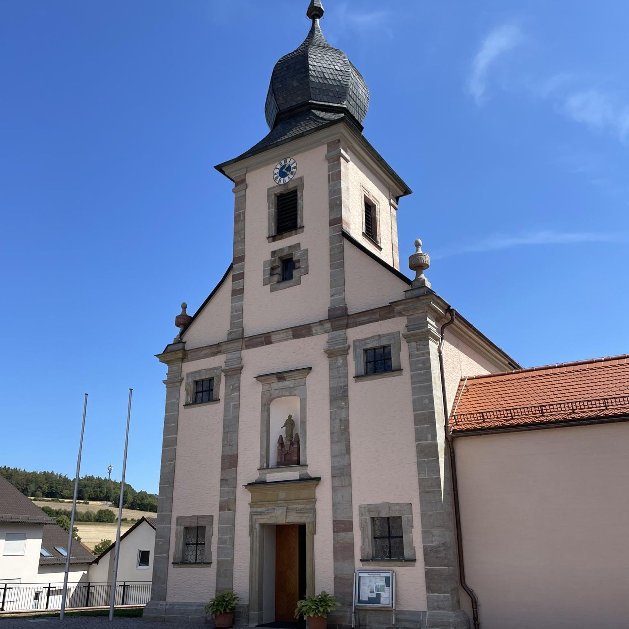
This church in Legnano – the “Chiesa del SANTISSIMO REDENTORE” – was not dedicated to one of the many people we venerate as blessed or saints and whose intercession with God we ask for; but rather to the incarnate Son of God, Jesus Christ, the Redeemer and Savior. In Italian, the term “San Salvatore” is not usually used, as is common for saints, but rather the more formal “Most Holy Redeemer” / “Santissimo Salvatore / Redentore”.
0
0
Frequently Asked Questions
How many no-traffic touring cycling routes are available in Rescaldina?
Rescaldina offers 14 dedicated no-traffic touring cycling routes, with 9 classified as easy and 5 as difficult, catering to various fitness levels and preferences.
Are there any easy, family-friendly no-traffic touring routes in Rescaldina?
Yes, Rescaldina has several easy no-traffic routes suitable for families. A great option is the Palazzo Malinverni – Castello Park loop from Rescaldina, which is just over 11 km long and offers a gentle ride through green spaces.
What kind of landscapes can I expect on no-traffic touring routes around Rescaldina?
The no-traffic touring routes around Rescaldina feature a diverse mix of landscapes. You'll find paths through natural parks like the Parco Alto Milanese, along historic waterways such as the Villoresi Canal, and even sections of former railway lines, offering a blend of natural beauty and industrial heritage.
Are there any circular no-traffic touring routes available?
Yes, many of the no-traffic touring routes in Rescaldina are circular, allowing you to start and end at the same point. For example, the Cerro–Rescaldina Cycle Path – Cerro/Cantalupo bicycle path loop from Rescaldina is an easy 21 km circular route.
What are some notable natural attractions or points of interest along these routes?
You can explore several natural attractions. The Towpath of the Villoresi Canal offers scenic views along the historic waterway, while Lura Park provides tranquil green spaces. The Groane Trail – Groane Park and the Briantea Heath is also accessible, offering extensive natural areas to discover.
Can I access these no-traffic routes using public transport?
While specific public transport connections to every trailhead can vary, Rescaldina itself is accessible by train. Many routes, especially those utilizing former railway paths or canal towpaths, are often designed with accessibility in mind, making it feasible to reach starting points from local train stations.
What do other touring cyclists enjoy most about the no-traffic routes in Rescaldina?
The no-traffic touring routes in Rescaldina are highly rated by the komoot community, with an average score of 4.9 stars from 26 ratings. Reviewers often praise the peacefulness of the routes, the diverse scenery, and the opportunity to explore natural parks and historical features away from car traffic.
Are there any longer, more challenging no-traffic touring routes for experienced cyclists?
Yes, for experienced cyclists seeking a longer challenge, the Villoresi Canal – Along the Lura stream loop from Rescaldina is a difficult 76 km route that follows the historic canal, offering a substantial ride with minimal traffic.
Are there routes that incorporate historical sites or cultural landmarks?
Yes, some routes blend natural exploration with historical interest. The region's history, including former industrial sites like the Candiani Cotton Mill, can be found along routes such as the Former Candiani Cotton Mill – Pond and River near Calipolis loop from Rescaldina. Additionally, the Valmorea Railway Cycle Path (Valle Olona Cycle Path) offers a unique journey along a disused railway line.
What types of surfaces can I expect on these no-traffic touring routes?
The routes around Rescaldina offer a mix of paved and unpaved surfaces. You'll find smooth asphalt sections, gravel paths along canals and former railway lines, and compacted dirt trails through parks, providing variety for touring cyclists.
Is there a no-traffic route that explores the Parco Alto Milanese?
Absolutely. The Parco Alto Milanese Entrance – Palazzo Malinverni loop from Rescaldina is a challenging 25 km route that takes you directly into the Parco Alto Milanese, allowing you to experience its natural beauty away from traffic.
Most popular attractions around Rescaldina

Get inspired with the komoot mobile app


Explore more
Browse the best Cycling routes in other regions.
