The best traffic-free bike rides around Montegallo
4.5
(68)
1,326
riders
27
rides
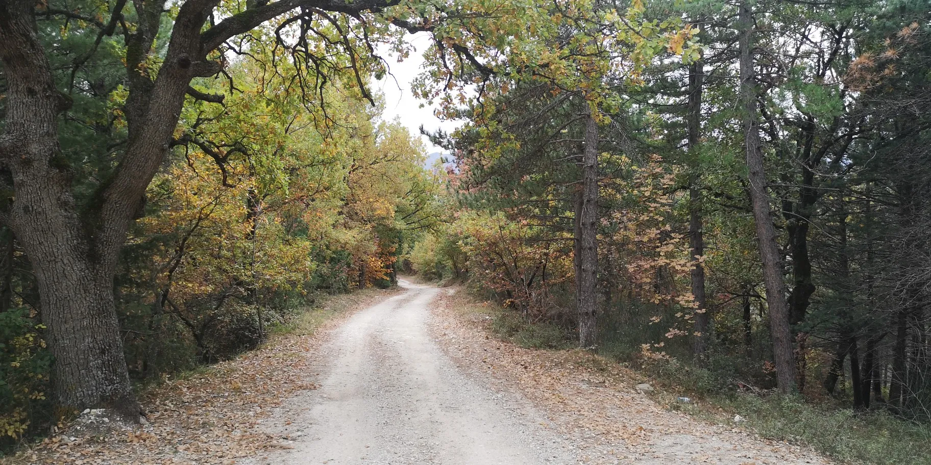
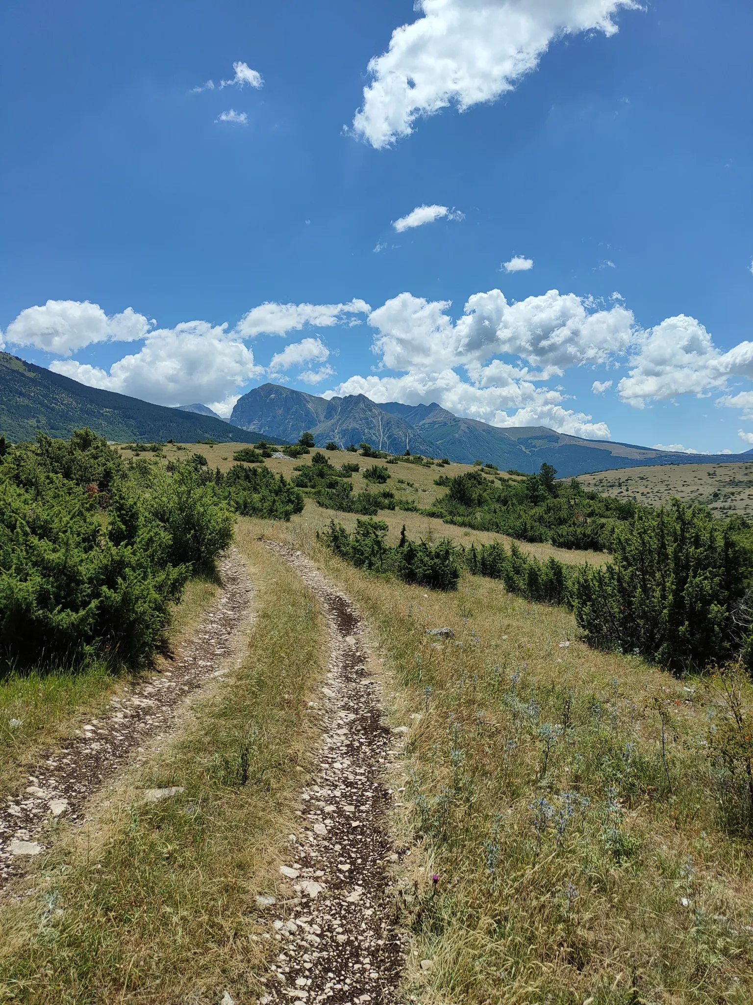
No traffic touring cycling routes around Montegallo are situated within Italy's Apennine Mountains, specifically at the foot of Monte Vettore and within the Monti Sibillini National Park. The region is characterized by its wild nature, encompassing dense woods, expansive green meadows, and rocky outcrops that contribute to a varied landscape. Touring cyclists can expect challenging routes with significant elevation gains, traversing mountainous terrain and offering panoramic views across the Sibillini range.
Best no traffic touring cycling routes around Montegallo
- The…
Last updated: May 19, 2026
4.5
(2)
28
riders
38.3km
03:43
1,220m
1,220m
Hard bike ride. Very good fitness required. Mostly paved surfaces. Suitable for all skill levels.
29
riders
30.2km
03:32
1,220m
1,220m
Hard bike ride. Very good fitness required. You may need to push your bike for some segments of this route.

Sign up for free
16
riders
78.0km
06:26
2,030m
2,030m
Hard bike ride. Very good fitness required. Mostly paved surfaces. Suitable for all skill levels.
6
riders
22.7km
01:55
560m
560m
Hard bike ride. Very good fitness required. Mostly paved surfaces. Suitable for all skill levels.
7
riders
66.5km
06:49
1,800m
1,800m
Hard bike ride. Very good fitness required. You may need to push your bike for some segments of this route.
Get access to more routes and recommendations from other explorers.
Sign up for free
Already have an account?
Our route recommendations are based on thousands of hikes, rides, and runs completed by other people on komoot.
Start today with a free account
Your next adventure awaits.
Login or Signup


Tips from the Community

The Arena waterfall is one of the most beautiful natural attractions in the Roccafluvione area. It presents itself to visitors with a drop of over 10 meters, between two steep rocky spurs. It is fed by the Fluvione stream, one of the main tributaries of the Tronto river.
1
0


Well-stocked oven, excellent for a refreshment
0
0

In the now inaccessible refuge it is possible to spend the night in some prefabricated wooden houses located behind the old structure.
0
0

Unique landscape. Wide panoramas.
0
0

Once you arrive at Forca di Presta, a unique "spatial" view opens up on the Pian Grande of Castelluccio di Norcia
0
0

Forca di Presta is one of the most famous passes in the Sibillini mountains. It separates the Castelluccio plain from the Tronto valley and is the natural border between Umbria and the Marche. On summer weekends the roads in the area are very busy, on the other hand the pass is filled with local producers selling all types of local delicacies. I recommend the sheep's ricotta sprinkled with honey, an energy bomb!
2
0
From the Castelluccio pass you can reach this panoramic point to admire the Castelluccio plain and the eastern side of the Sibillini mountains. From here you can observe the long and impressive fault generated by the earthquake. The colorful flowering of lentils occurs in summer, from July to August. An incredible human and natural spectacle.
3
0
Frequently Asked Questions
How many no-traffic touring cycling routes are available in Montegallo?
There are 25 dedicated touring cycling routes around Montegallo that emphasize minimal traffic. Most of these, 21 to be exact, are classified as difficult, offering significant challenges and rewarding views.
What is the best time of year for no-traffic touring cycling in Montegallo?
The Monti Sibillini National Park, where Montegallo is located, is ideal for cycling in spring and summer. During these seasons, the natural beauty of the woods and green meadows is at its peak, and the weather is generally more favorable for tackling the challenging routes. Autumn can also be beautiful, but be prepared for cooler temperatures and potentially wet conditions, especially at higher elevations.
What kind of terrain can I expect on these no-traffic touring cycling routes?
The routes around Montegallo are characterized by mountainous terrain with significant elevation gains, often featuring steep ramps with maximum slopes reaching 12% or more. You'll traverse abundant woods, green meadows, and rocky outcrops, providing varied and spectacular scenery. Some paths, like the ascent to Croce di Casale from Roccafluvione, are known for an almost total absence of cars, making them feel like dedicated bike paths.
Are there any notable landmarks or natural features to see along the no-traffic touring cycling routes?
Yes, the region is rich in natural beauty. You can expect breathtaking panoramic views of the Apennine Mountains, including Monte Vettore, the highest peak in the Sibillini range. Other prominent peaks include Monte Sibilla and Mount Porche. You might also encounter mountain passes like Forca di Presta Pass, offering stunning vistas.
Are there any circular no-traffic touring cycling routes available?
Yes, many of the routes are designed as loops, allowing you to start and end in the same location. An example is the challenging Winding Road to Monte Sibilla – View of Montemonaco loop from Montemonaco, which covers over 30 km with significant elevation, offering consistently varied and wonderful landscapes.
What is the typical difficulty level for no-traffic touring cycling in Montegallo?
The majority of no-traffic touring cycling routes in Montegallo are classified as difficult. They often involve substantial elevation gains, with some tours covering nearly 70 kilometers and an increase in altitude of about 1500 meters. These routes are best suited for experienced touring cyclists looking for a demanding but rewarding experience.
What do other touring cyclists enjoy most about the no-traffic routes in Montegallo?
The area is highly rated by the komoot community, with an average score of 4.6 out of 5 stars from 80 ratings. Reviewers often praise the challenging nature of the routes, the consistently varied and wonderful landscapes, and the tranquility offered by the minimal traffic, allowing for an immersive experience in the wild nature of the Monti Sibillini National Park.
Are there any routes that pass by lakes or water features?
Yes, some routes incorporate the region's beautiful lakes. For instance, the extensive Camping Sibilla – Lake Gerosa loop from Pignotti is a difficult route spanning over 78 km, offering views and passages near Lake Gerosa. While not directly on a cycling route, the unique glacial Lago di Pilato on Monte Vettore is a notable natural wonder in the vicinity.
Can I find routes that offer views of the famous Pian Grande?
Absolutely. The Forca di Presta Pass – Pian Grande loop from Arquata del Tronto is a challenging 47 km route that takes you through the stunning landscapes around Forca di Presta Pass and offers views towards the expansive Pian Grande, known for its seasonal flowering.
Are there any cultural or historical sights accessible from these routes?
While the focus is on natural beauty and no-traffic cycling, the region around Montegallo also has cultural points of interest. The municipality itself features 23 villages, and you might pass by historical landmarks such as the Chiesa di Santa Maria in Pantano or the Romanesque Chiesa di San Bernardino, which offer glimpses into the local heritage.
What is the longest no-traffic touring cycling route in Montegallo?
One of the longest and most challenging routes is the Camping Sibilla – Lake Gerosa loop from Pignotti, which covers approximately 78 kilometers with over 2000 meters of elevation gain. This route provides an extensive exploration of the region's quiet roads and scenic beauty.
Are there any routes suitable for a full day's touring cycling adventure?
Many of the routes are designed for longer excursions. For example, the Forca di Presta Pass – Pian Grande loop from Pignotti is a difficult route spanning over 66 kilometers with nearly 1800 meters of ascent, making it an excellent option for a full day of challenging touring cycling amidst stunning mountain scenery.
Most popular attractions around Montegallo

Get inspired with the komoot mobile app


Explore more
Browse the best Cycling routes in other regions.
