The best traffic-free bike rides around Champorcher
4.6
(10)
39
riders
1
ride
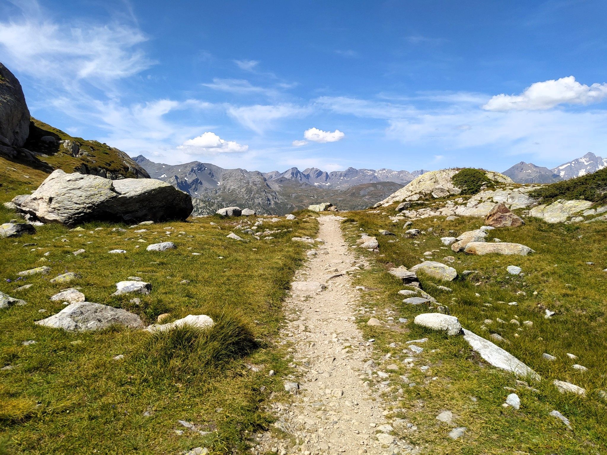
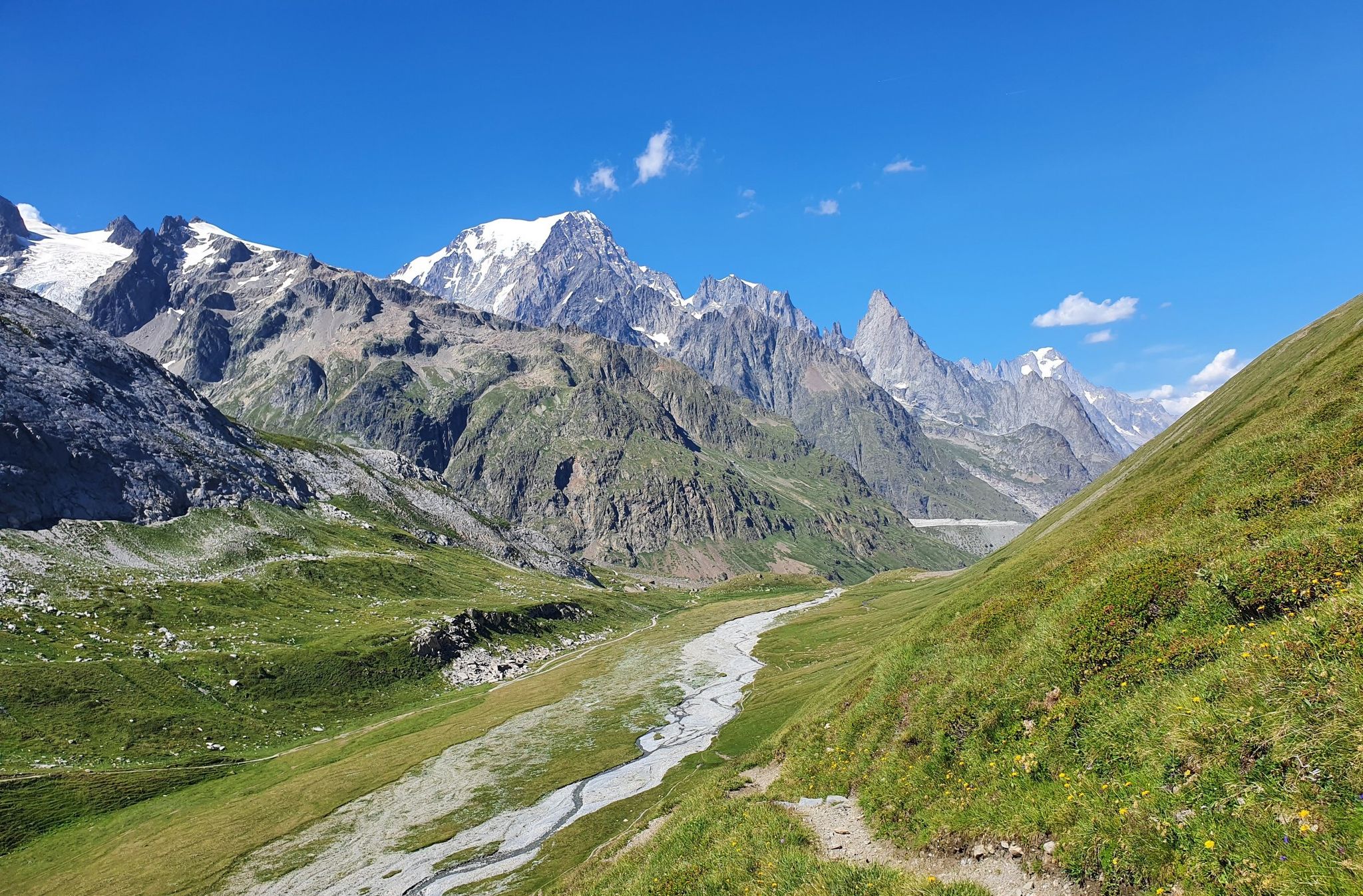
Gravel biking around Champorcher offers routes through the Aosta Valley, characterized by alpine valleys, forests, and high peaks. The region features a mix of asphalt, dirt roads, and paths, providing varied terrain for cyclists. Mont Avic National Park is a prominent natural feature, with alpine pastures, forests, and lakes. The landscape includes dramatic peaks rising over 3000 meters, offering panoramic views.
Best no traffic gravel bike trails around Champorcher
- The most popular no traffic gravel bike trail is On the…
Last updated: June 30, 2026
1
riders
16.1km
01:25
430m
430m
Moderate gravel ride. Good fitness required. Mostly paved surfaces. Suitable for all skill levels.
16
riders
27.9km
03:10
1,200m
1,200m
Hard gravel ride. Very good fitness required. Mostly paved surfaces. Suitable for all skill levels.

Sign up for free
4.3
(3)
13
riders
27.1km
02:16
870m
870m
Hard gravel ride. Very good fitness required. Mostly paved surfaces. Suitable for all skill levels.
5
riders
25.4km
01:57
580m
580m
Hard gravel ride. Very good fitness required. Mostly paved surfaces. Suitable for all skill levels.
Our route recommendations are based on thousands of hikes, rides, and runs completed by other people on komoot.
Start today with a free account
Your next adventure awaits.
Login or Signup

Other adventures around Champorcher


Tips from the Community


The Castello di Suzey stands on an inaccessible rocky spur, in a position that in the 14th century guaranteed absolute control over the transit of the Lys valley. The structure is a classic example of a medieval enclosure castle, dominated by a massive quadrangular tower and surrounded by the remains of a fortified village now swallowed by vegetation. This stronghold was the headquarters of the lords of Suzey, a branch of the Vallaise known for their bellicose nature and independence from central powers. A famous anecdote concerns the family's determination to defend their privileges: it is said that the lords of Suzey imposed such severe transit taxes that they sparked fierce disputes with merchants and neighboring communities, turning the castle into a sort of armed customs post. A local legend also tells that the castle was connected to the other Vallaise properties in Perloz via a network of secret passages dug directly into the rock, used to move troops and riches away from prying eyes during sieges. Another popular tale describes the castle's end as a dramatic event: a devastating fire, which broke out during an enemy attack, would have marked the definitive abandonment of the structure.
0
0
The village is situated on a natural terrace offering a panoramic view of the Lys valley. An e-bike charging station is available.
0
0

In this stretch, the Via Francigena follows the ancient Roman route of the Via delle Gallie, where the paving retains the ruts of millennia-old carts. Connecting Augusta Prætoria to the Alpine passes, this strategic road shaped the landscape with rest stops and villages, some of whose names still indicate the distance in miles from the city. Traveling it today means experiencing a direct connection between the spiritual journey of medieval pilgrims and the engineering of the Romans.
0
0
Saint-Germain Castle (or Montjovet Castle), of uncertain origins, marked the history of the Aosta Valley, passing from the Savoy to the Challant family, before finally returning to the Savoy in 1438. Used as a military garrison by Amadeus VIII, it was abandoned in 1661 when the garrison was transferred to the Bard Fort. Completing the site is the Church of Saint-Germain: a small Romanesque building that, through frescoes and architectural details, preserves the spiritual memory of the local community.
1
0
The hamlet of Le Bourg can be easily reached by bicycle, passing under the highway overpass. The village is worth a visit for its characteristic keeled-arch windows, frescoes, and ancient signs that tell the story of the town. Also not to be missed is the church of San Rocco, perched on a rocky outcrop and offering a panoramic view of the valley.
2
0
The Champrocher Royal Road is a charming historical route commissioned in the 18th century by the House of Savoy. It connected the valley floor with the hunting lodges, facilitating the travel of the nobility and their entourage. Today, it is a beautiful path immersed in greenery, with stone sections and splendid panoramic views of the valley.
2
0

Splendid alpine lake above Champorcher passing by the Dondena refuge
0
0
Frequently Asked Questions
How many no-traffic gravel bike trails are available in Champorcher?
Champorcher offers a selection of traffic-free gravel bike routes, providing a peaceful and immersive experience in the Aosta Valley. This guide features three distinct routes, ranging from moderate to difficult, allowing you to explore the region's natural beauty away from vehicle traffic.
What is the best time of year for gravel biking in Champorcher?
The ideal time for gravel biking in Champorcher is from late spring to autumn. During these months, the climate is most favorable, and the trails are generally clear of snow, offering the best conditions to enjoy the region's stunning alpine landscapes and quiet paths.
Are there any challenging no-traffic gravel routes in Champorcher?
Yes, many gravel routes in Champorcher are considered challenging and require good to very good fitness. For instance, the Dondena Hut – Lake Miserin loop from Champorcher is a difficult trail with significant elevation gain, offering rewarding alpine scenery. Another challenging option is the View of Donnas – Pont-Saint-Martin loop from Donnas.
What natural features can I expect to see on these gravel bike trails?
The no-traffic gravel trails in Champorcher lead through diverse and beautiful natural landscapes. You'll encounter pristine alpine pastures, silent forests, and numerous alpine lakes such as Lake Muffé and Lake Miserin. The area is also known for impressive natural water features like the Lillaz Waterfalls and crystal-clear streams.
Are there any historical elements or landmarks along the routes?
Yes, Champorcher's gravel routes often incorporate historical paths. You can ride along ancient irrigation channels (ru) and old military roads, providing a sense of history alongside natural exploration. The "Strada Reale" near Dondena is a beautiful mule track that forms part of some routes, offering a glimpse into the region's past.
What kind of terrain should I expect on the gravel bike trails?
The gravel biking terrain in Champorcher is varied, providing a true gravel experience. You can expect a mix of asphalt, dirt roads, and natural paths. Some segments may be quite technical or steep, potentially requiring you to push your bike, especially on more challenging routes.
Can I find viewpoints with panoramic mountain views on these trails?
Absolutely. From higher vantage points along the trails, cyclists can enjoy breathtaking panoramic views of iconic mountains. You might catch glimpses of Gran Paradiso, the Matterhorn, and the Monte Rosa Massif, especially when traversing valleys like the Dondena Valley or reaching higher passes.
What do other gravel bikers enjoy most about Champorcher?
The area is highly rated by the komoot community, with an average score of 4.9 stars. Reviewers often praise the unspoiled natural beauty, the peaceful atmosphere away from mass tourism, and the diverse, challenging terrain that makes for a rewarding gravel biking adventure.
Are there any huts or refuges along the no-traffic gravel routes for a break?
Yes, the region features several huts and refuges that can serve as excellent stopping points. For example, the Dondena Hut is located on one of the challenging loops, and the Barbustel Refuge at Lac Blanc is also in the wider area, offering places to rest and refuel amidst the stunning alpine scenery.
Is there a moderate gravel bike trail for those looking for a less strenuous ride?
While many routes in Champorcher are challenging, there is a moderate option available. The On the hill of Montjovet route offers a less strenuous ride compared to the more difficult alpine loops, providing a great way to experience the region's beauty without extreme demands on fitness.
Most popular attractions around Champorcher

Get inspired with the komoot mobile app


Explore more
Browse the best Gravel rides in other regions.
