The best traffic-free bike rides around Verghereto
4.6
(58)
2,376
riders
4
rides
No traffic road cycling routes around Verghereto are situated within the Tuscan-Romagna Apennines, characterized by a mountainous landscape with elevations ranging from approximately 500 meters to over 1400 meters. The region features prominent peaks such as Monte Fumaiolo, which is cloaked in extensive beech forests. Road cycling in this area involves significant elevation gains on mostly well-paved surfaces, traversing diverse topography and river valleys.
Best no traffic road cycling routes around Verghereto
- The most popular no traffic road cycling route is Carnaio Pass – Santa Sofia Bridge loop from San Piero in Bagno, a 24.6 miles (39.6 km) trail that takes 2 hours 18 minutes to complete, featuring challenging climbs through the Apennine landscape.
- Another top favourite among local road cyclists is Monte Fumaiolo Pass – Le Balze Village loop from Alfero, a difficult 23.3 miles (37.5 km) path that winds through extensive beech forests and offers views of Monte Fumaiolo.
- Local road cyclists also love the Casteldelci Village – View of Casteldelci Castle loop from Casteldelci, a 12.3 miles (19.8 km) trail leading through rolling hills and passing by historical villages, often completed in about 1 hour 17 minutes.
- Road cycling around Verghereto is defined by mountainous terrain, extensive beech forests, and varied river valleys. The network offers options for both moderate and difficult routes, catering to different ability levels.
- The routes in Verghereto are highly rated by the komoot community with an average score of 4.6 stars from over 50 reviews. More than 2,300 road cyclists have used komoot to explore Verghereto's varied terrain.
Last updated: May 19, 2026
24
riders
64.8km
03:44
1,550m
1,550m
Hard road ride. Very good fitness required. Mostly well-paved surfaces and easy to ride.
3
riders
19.7km
01:17
600m
610m
Moderate road ride. Good fitness required. Mostly well-paved surfaces and easy to ride.

Sign up for free
4
riders
21.1km
01:09
440m
440m
Moderate road ride. Good fitness required. Mostly well-paved surfaces and easy to ride.
3.0
(1)
2
riders
19.8km
01:12
440m
450m
Moderate road ride. Good fitness required. Mostly well-paved surfaces and easy to ride.
Our route recommendations are based on thousands of hikes, rides, and runs completed by other people on komoot.
Start today with a free account
Your next adventure awaits.
Login or Signup
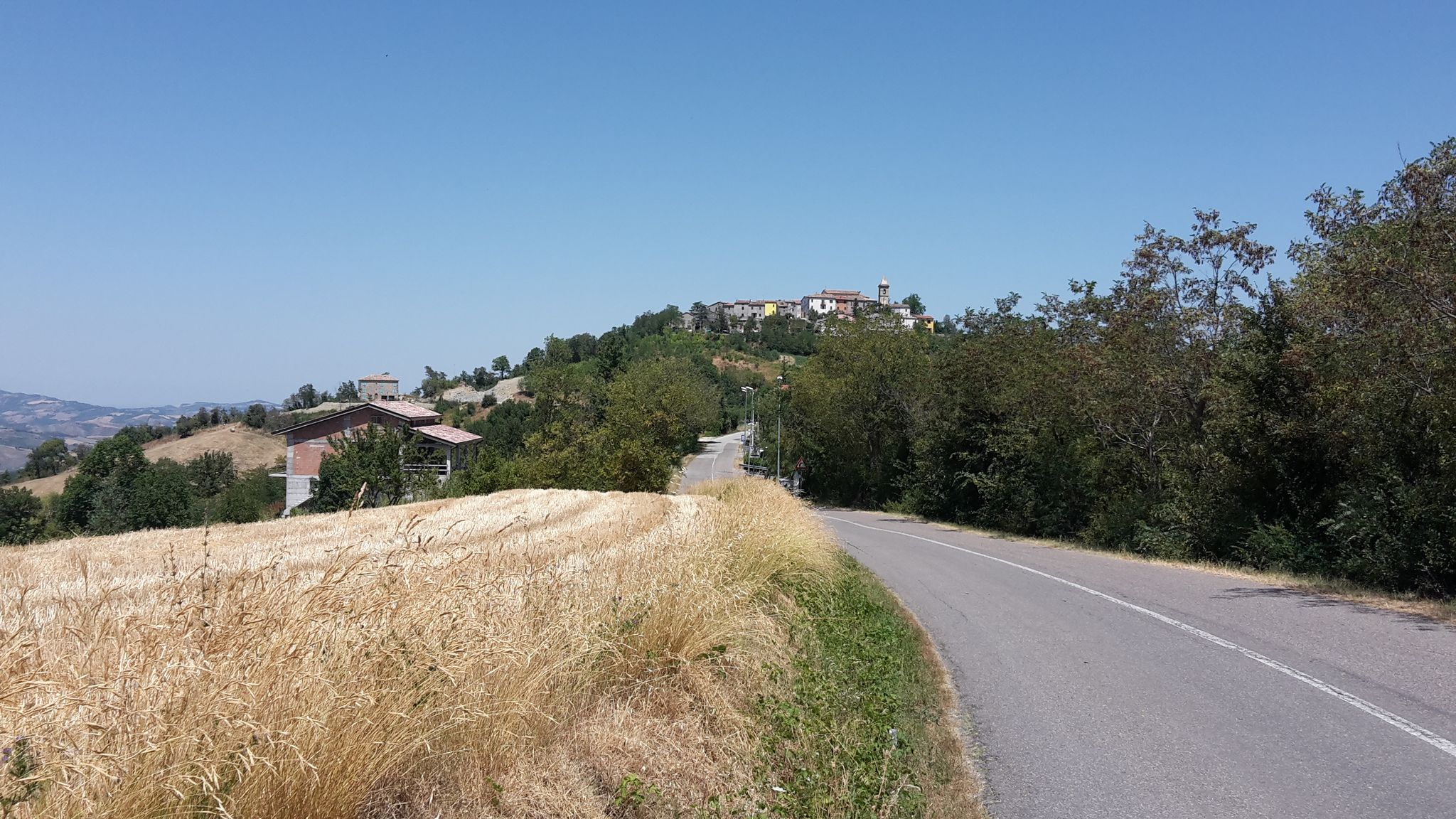
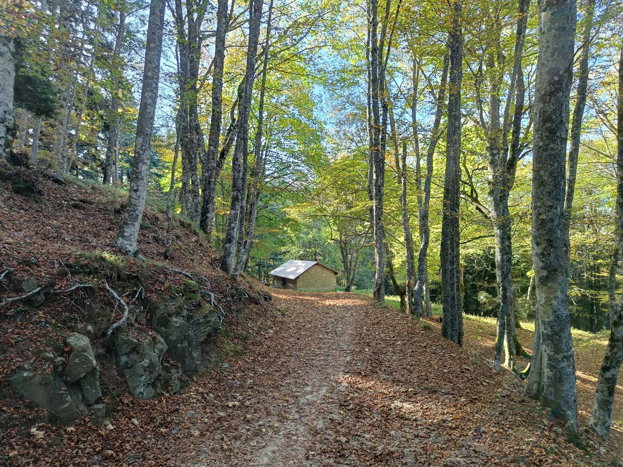
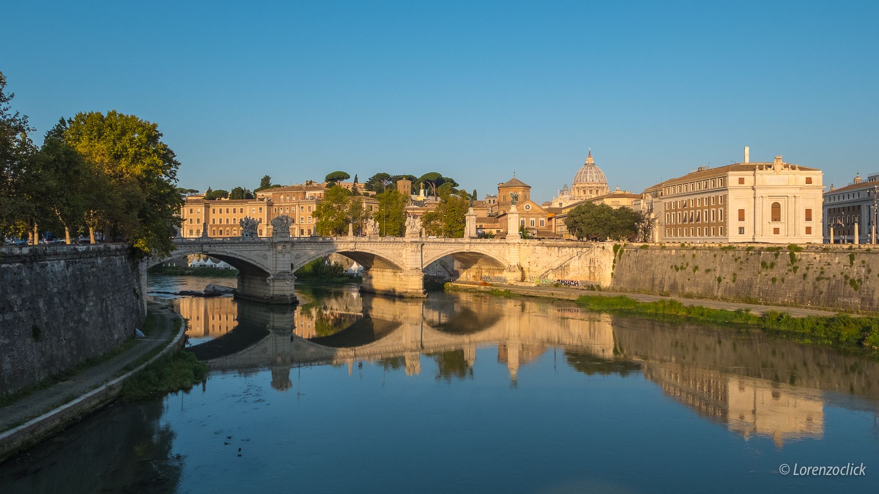

Other adventures around Verghereto


Tips from the Community

Casteldelci, a medieval village now in the province of Rimini, once part of the Marche region, is a small hilltop village where it is said that the mercenary captain Uguccione della Faggiola, one of the protagonists of medieval political and military life, was born around 1250.
0
0
around 1250, the captain of fortune Uguccione della Faggiola was born, one of the protagonists of the political and military life of the Middle Ages, a close friend of Dante Alighieri
0
0

Santa Sofia is located in the heart of the Foreste Casentinesi National Park. There is a visitor center where you can find information for exploring the park, several excursions also depart from here. The Vero Stoppioni Contemporary Art Gallery is worth a visit, where you can see many works by the artist Mattia Moreni, and also the river park full of outdoor sculptures.
2
0

Lake equipped for sport fishing for trout and carp (carp-fishing) ═════════════════ 👇 here is the video in 4K 👇 https://youtu.be/CkLz1iXr3Bk
0
0

Demanding ascent from Piev di S. Stefano. Next to the E90, a rarely used road leads to Monte Fumaiolo. The last kilometer to the summit is quite steep. Refreshment possibility.
1
0

Here good fresh water and... free!! 👍😁😁
1
0

On the slopes of Mount Comero, not far from the Foreste Casentinesi National Park, this lake is dedicated to sport fishing. It owes its name to the fact that it dried up at the beginning of the eighteenth century due to a careless human error, so the water "leaved" away, towards the valley.
0
0

beautiful lake, all around the lake
0
0
Frequently Asked Questions
How many no-traffic road cycling routes are available around Verghereto?
There are 4 dedicated no-traffic road cycling routes around Verghereto featured in this guide, ranging from moderate to difficult. These routes offer a fantastic way to explore the region's stunning landscapes without vehicle interference.
What kind of fitness level is required for no-traffic road cycling in Verghereto?
The no-traffic road cycling routes in Verghereto are generally challenging, with two routes rated as "difficult" and two as "moderate." Riders should possess good to very good fitness due to significant elevation gains. For example, the Carnaio Pass – Santa Sofia Bridge loop from San Piero in Bagno involves over 900 meters of elevation gain over 39.5 km.
Are there any challenging no-traffic road cycling routes that include Monte Fumaiolo?
Yes, Monte Fumaiolo, the highest peak in the Cesena Apennines, is a prominent feature on several routes. The Monte Fumaiolo Pass – Le Balze Village loop from Alfero is a difficult 37.5 km route with nearly 1,000 meters of elevation gain, offering breathtaking views. Another option is the Monte Fumaiolo Pass – Le Balze Village loop from Caprile, a moderate 21 km ride.
Can I find circular no-traffic road cycling routes in the Verghereto area?
All the no-traffic road cycling routes highlighted in this guide are circular loops, designed to bring you back to your starting point. This includes routes like the Casteldelci Village – View of Casteldelci Castle loop from Casteldelci and the challenging Carnaio Pass – Santa Sofia Bridge loop from San Piero in Bagno.
What are some scenic highlights or natural attractions I can see along these routes?
The Verghereto region is rich in natural beauty. Along your rides, you might encounter the majestic beech forests of Monte Fumaiolo, or the historical Source of the Tiber River Monument. The area also features stunning natural monuments like the Cascata dell'Alferello, a 30-meter waterfall, and various mountain passes such as Monte Fumaiolo Pass.
What is the best time of year for no-traffic road cycling in Verghereto?
The best time for road cycling in Verghereto is typically from spring through autumn. During these seasons, the weather is generally mild, and the natural landscapes are at their most vibrant. The higher elevations, like Monte Fumaiolo, offer cooler temperatures in summer, making them ideal for escaping the heat.
Are there any family-friendly no-traffic road cycling options in Verghereto?
While many routes in Verghereto require good fitness due to significant elevation, some shorter, moderate loops might be suitable for families with older, experienced children. The Monte Fumaiolo Pass – Le Balze Village loop from Caprile, at 21 km with 438m elevation, could be a more manageable option, but always assess the fitness level of all riders.
Where can I find parking for these no-traffic road cycling routes?
Parking availability varies by starting point. For routes originating from villages like San Piero in Bagno, Alfero, Casteldelci, or Caprile, you can typically find public parking areas within or near the village centers. It's advisable to check local parking regulations upon arrival.
What do other road cyclists enjoy the most about road cycling in Verghereto?
The Verghereto region is highly rated by the komoot community, with an average score of 4.6 stars. Reviewers often praise the challenging climbs, the stunning panoramic views from peaks like Monte Fumaiolo, and the tranquility of cycling through ancient beech forests on well-paved, low-traffic roads.
Are there cafes or amenities along the no-traffic road cycling routes?
While the routes themselves are designed to be traffic-free, they often pass through or near charming villages such as Le Balze, Casteldelci, or San Piero in Bagno. These villages typically offer cafes, restaurants, and other basic amenities where you can refuel and rest. It's always a good idea to carry sufficient water and snacks, especially on longer stretches.
Can I access these routes using public transport?
Public transport options directly to the starting points of these specific no-traffic road cycling routes might be limited, especially in more remote areas of Verghereto. It is generally recommended to travel by car to reach the starting villages. However, regional bus services connect some larger towns in the area, which could serve as a starting point for longer rides.
Most popular attractions around Verghereto

Get inspired with the komoot mobile app


Explore more
Browse the best Road cycling routes in other regions.
