The best road cycling routes around Malching
4.7
(160)
2,052
riders
279
rides
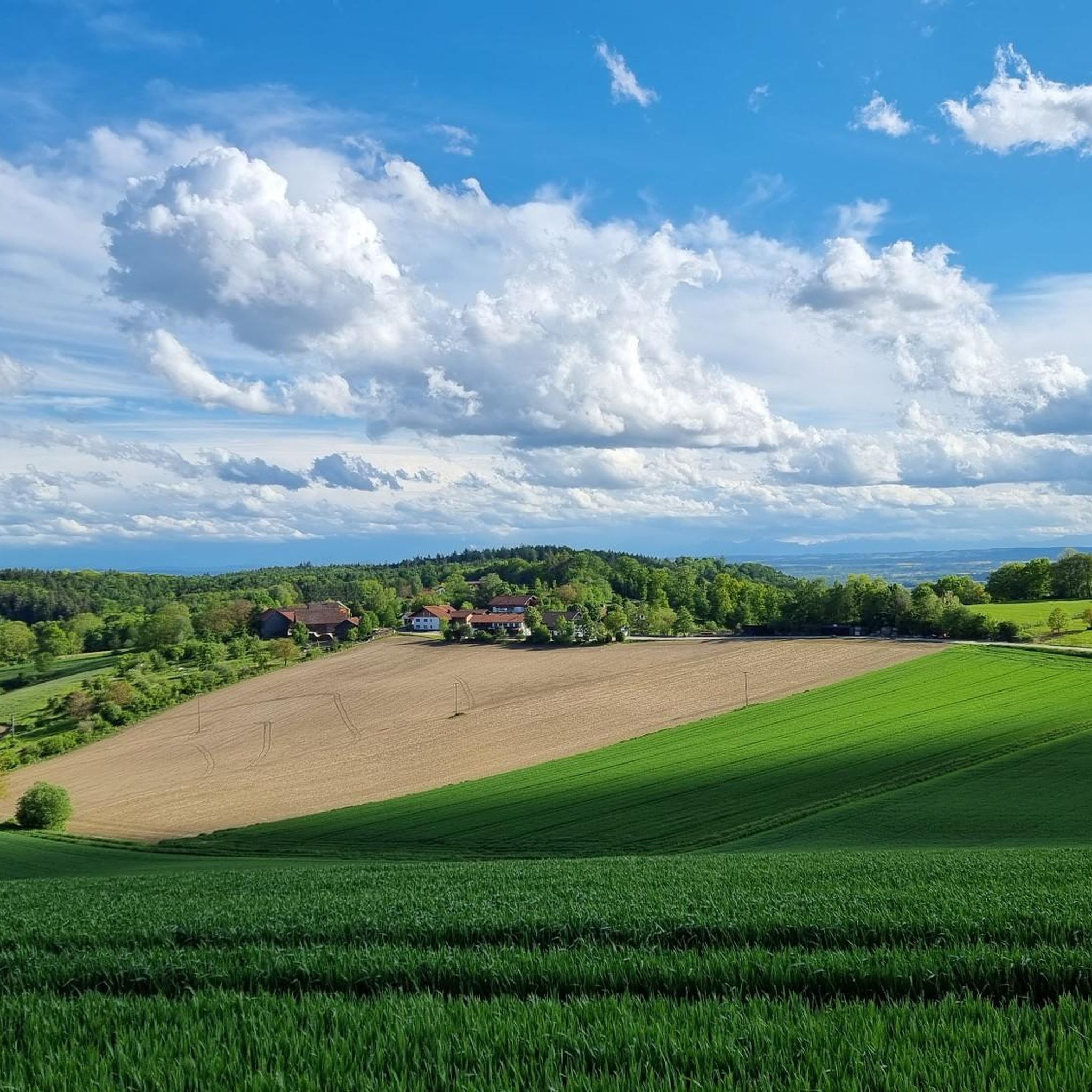
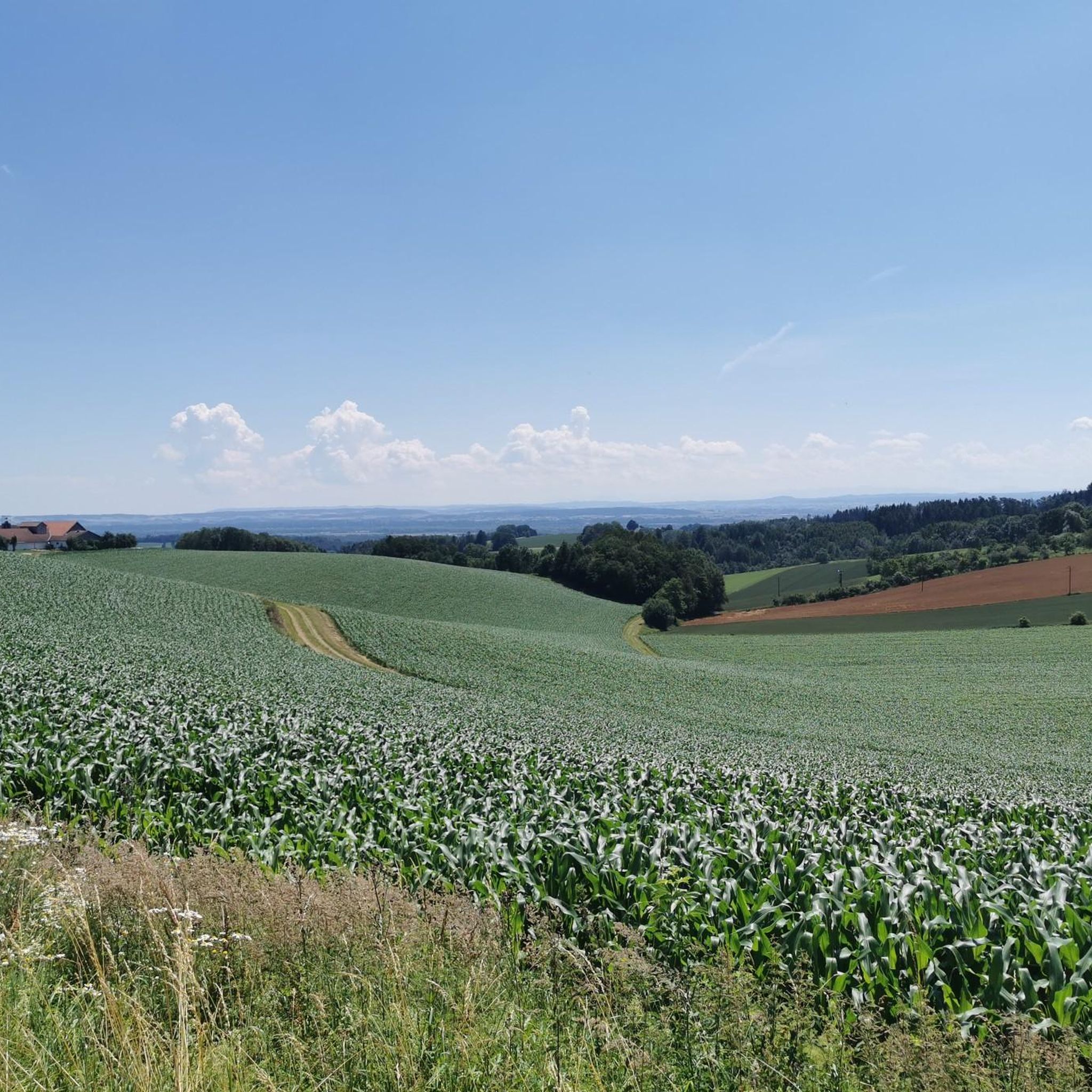
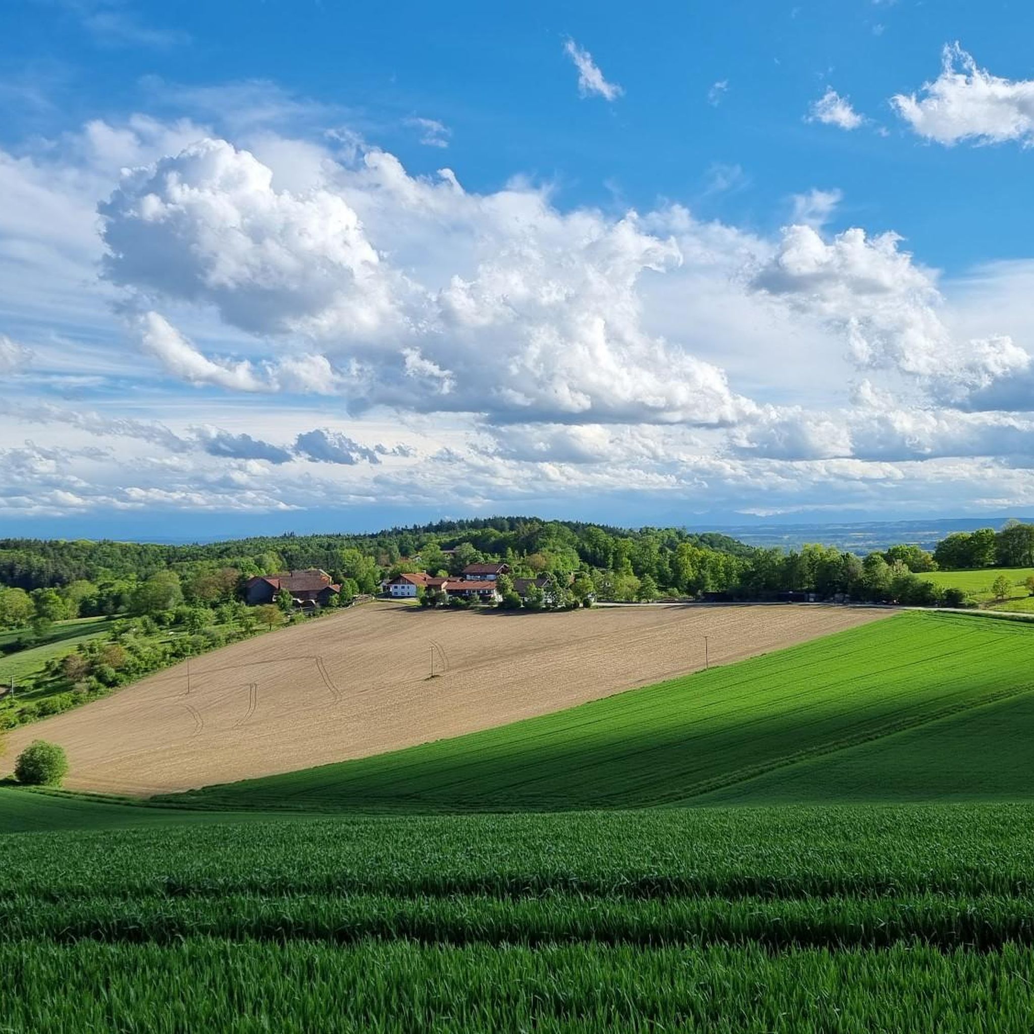
Road cycling routes around Malching traverse the gentle, rolling landscapes of Lower Bavaria, characterized by river valleys and agricultural plains. The terrain typically features moderate elevation changes, offering a mix of flat sections and gradual ascents. This region provides a network of well-maintained roads suitable for various road cycling experiences. The area's natural features include open fields, small forests, and proximity to the Inn River.
Best road cycling routes around Malching
- The most popular road cycling route is Terrace at…
Last updated: July 4, 2026
5.0
(3)
15
riders
Easy road ride. Great for any fitness level. Mostly well-paved surfaces and easy to ride.
5
riders
35.4km
01:44
410m
410m
Moderate road ride. Good fitness required. Mostly well-paved surfaces and easy to ride.

Sign up for free
5.0
(1)
6
riders
27.1km
01:13
240m
240m
Easy road ride. Great for any fitness level. Mostly well-paved surfaces and easy to ride.
3.1
(7)
5
riders
Easy road ride. Great for any fitness level. Mostly well-paved surfaces and easy to ride.
6
riders
32.2km
01:29
340m
340m
Moderate road ride. Good fitness required. Mostly well-paved surfaces and easy to ride.
Get access to more routes and recommendations from other explorers.
Sign up for free
Already have an account?
Our route recommendations are based on thousands of hikes, rides, and runs completed by other people on komoot.
Start today with a free account
Your next adventure awaits.
Login or Signup

Other adventures around Malching

Tips from the Community


In Malching, there are several old wooden houses, some of which have been renovated, and there is also a life-size bronze sculpture of a bull in the village, and in front of the town hall, three ravens perch on a pole.
0
0

Enjoy the beautiful nature and landscape
0
0

Very nice view at the chapel
0
0

great area here.
0
0

Nice point on this tour. Worth seeing
1
0

Church of Asbach Monastery
1
0

beautiful little road, practically no traffic - beautiful landscape
0
0
Frequently Asked Questions
What kind of terrain can I expect when road cycling around Malching?
The Malching region, situated at the foot of the Bavarian Forest, offers a diverse road cycling experience. You'll find a mix of gentle, rolling landscapes with river valleys and agricultural plains, especially along the Inn River. As you venture towards the Bavarian Forest foothills, routes can include more undulating terrain and gradual ascents, providing varied challenges for cyclists.
Are there road cycling routes suitable for beginners or families in Malching?
Yes, Malching offers several easy routes perfect for beginners and families. A great option is the Malching – Aigen am Inn town center loop from Malching, which is 16.8 miles (27.1 km) long and takes about 1 hour 13 minutes to complete. This route leads through river valleys and small villages with minimal elevation gain, making it a relaxed ride. The Inn Cycle Path, which passes through the region, also offers generally flat and paved sections ideal for relaxed cycling.
What are some more challenging road cycling routes in the Malching area?
For those seeking more significant climbs and varied terrain, the Malching area has moderate routes. The Asbach Abbey Church – Schönberg loop from Rotthalmünster is a popular moderate path, covering 22.0 miles (35.5 km) with notable elevation changes. Another option is the Malching loop from Malching, a 36.3 km route with over 500 meters of elevation gain, offering a good workout.
What interesting landmarks or natural features can I see along the road cycling routes?
Malching's road cycling routes offer glimpses of both natural beauty and historical sites. You can explore the scenic Inn River and its floodplain landscape, part of the Unterer Inn Nature Reserve. Along your ride, consider visiting the Eglsee Bird-Watching Tower or the Schellenberg Observation Tower for panoramic views. The Fish Ladder Ering is another interesting man-made feature. Historically, Frauenstein Castle with its cozy beer garden is a great resting spot along the Inn Cycle Path, and Malching itself features the 17th-century Malching Castle and 13th-century St. Nicholas Church.
Are there any cafes or places to stop for refreshments along the routes?
Yes, many routes in the Malching area pass through villages or near establishments where you can stop for refreshments. For example, the Aigen am Inn town center – Terrace at Grün Café loop from Malching suggests a stop at Grün Café. The region's blend of cultural sites often includes opportunities for breaks, such as the beer garden at Frauenstein Castle. You can also find various huts and cabins, like the Sternsteinhofhütte Beer Garden & Snack Lounge or Schellenberghaus with panoramic views, which are popular with cyclists.
What is the best time of year to go road cycling in Malching?
The best time for road cycling in Malching is generally from spring to autumn. During these seasons, the weather is typically mild and pleasant, making for comfortable rides. The natural landscapes, including the river plains and Bavarian Forest foothills, are particularly beautiful during these months. Always check local weather conditions before heading out.
How many road cycling routes are available around Malching?
There are over 280 road cycling routes available around Malching on komoot, catering to various skill levels. This includes more than 60 easy routes, over 200 moderate routes, and 15 difficult routes, ensuring there's something for every road cyclist.
What do other road cyclists say about the routes in Malching?
The road cycling routes in Malching are highly rated by the komoot community, with an average score of 4.6 stars from over 150 reviews. Cyclists often praise the region's diverse terrain, from gentle river plains to more challenging rolling hills, and the scenic agricultural landscapes. The well-maintained roads and varied options for different ability levels are frequently highlighted as positive aspects.
Is it possible to access road cycling routes in Malching using public transport?
While specific public transport connections directly to trailheads might vary, Malching is part of Lower Bavaria, a region with a general public transport network. For detailed information on reaching specific starting points by public transport, it's advisable to check local bus or train schedules for connections to Malching or nearby towns like Rotthalmünster, which serve as starting points for some routes.
Are there parking facilities available for cyclists in Malching?
Yes, Malching and surrounding towns typically offer parking facilities. When planning your ride, look for designated parking areas in town centers or near popular starting points for routes. Many routes, such as those starting directly from Malching, will have accessible parking options for cyclists.
Are there any long-distance cycling paths accessible from Malching?
Yes, a significant draw for cyclists in the region is the Inn Cycle Path (Innradweg), a long-distance route that passes through Bavaria. While some sections may include gravel, much of the path in Bavaria is generally flat and primarily paved, following the riverside. This offers excellent opportunities for longer, relaxed cycling experiences along the Inn River.
Most popular attractions around Malching

Get inspired with the komoot mobile app


Explore more
Browse the best Road cycling routes in other regions.
