The best traffic-free bike rides around Cerreto Laziale
4.4
(74)
1,233
riders
16
rides
No traffic touring cycling routes around Cerreto Laziale traverse a diverse landscape, characterized by its position within the Giovenzano Valley and at the foot of the Monti Ruffi. The region features undulating terrain with rolling hills and significant elevation changes, surrounded by chestnut and oak forests. Peaks like Monte Scrima (1060m) and Monte Costasole (1251m) contribute to the mountainous character.
Best no traffic touring cycling routes around Cerreto Laziale
- The most popular no traffic touring cycling route is Borgo di…
Last updated: July 13, 2026
2.7
(3)
53
riders
44.4km
02:59
700m
700m
Hard bike ride. Very good fitness required. Mostly paved surfaces. Suitable for all skill levels.
42
riders
41.7km
03:52
1,090m
1,090m
Hard bike ride. Very good fitness required. Mostly paved surfaces. Suitable for all skill levels.

Sign up for free
4.0
(2)
29
riders
42.0km
03:38
1,070m
1,070m
Hard bike ride. Very good fitness required. You may need to push your bike for some segments of this route.
30
riders
Hard bike ride. Very good fitness required. Mostly paved surfaces. Suitable for all skill levels.
5.0
(1)
20
riders
81.1km
05:42
1,500m
1,500m
Hard bike ride. Very good fitness required. Mostly paved surfaces. Suitable for all skill levels.
Get access to more routes and recommendations from other explorers.
Sign up for free
Already have an account?
Our route recommendations are based on thousands of hikes, rides, and runs completed by other people on komoot.
Start today with a free account
Your next adventure awaits.
Login or Signup
Popular around Cerreto Laziale

Other adventures around Cerreto Laziale

Tips from the Community

Vicolo Barchetto, 00019 Tivoli RM, Italy
9
0

Tivoli's Rocca Pia, an imposing Renaissance fortress located in the city center, was built by Pope Pius II Piccolomini starting in 1461 to defend the city and control the population. The structure is characterized by four large circular towers of varying heights, connected by high crenellated walls. Over the course of its history, the Rocca has alternated defensive functions with those of a papal barracks and, for a long time, a prison until 1960. It is currently a tourist attraction located near Piazza Garibaldi and the Bleso amphitheater. WEBSITE: https://visittivoli.it/sito-turistico/rocca-pia/
1
0

Panoramic point at about 1750 meters above sea level, important crossroads for singletrack
0
0

Starting from Campo dell'Osso, at an altitude of 1,750 meters, amid cool beech forests and silence broken only by the sound of tires on the ground. After a short initial stretch on a mixed trail, we immediately enter the heart of Cannavacciari, one of the most evocative trails in the Simbruini Mountains Natural Park. The trail winds steadily downhill, technical yet fluid, for 6.2 km, reaching Campo Secco at 1,340 meters. The elevation gain is significant—about 410 meters—but the varied terrain makes it fun and never boring. Fast sections alternate with tight curves, passages over roots, rocks, and some counter-slopes of up to 19%, reminding us that even on descents, you need to be strong. Every curve offers glimpses of the forest, shady sections, and the scent of pristine nature. The Cannavacciari trail has a touch of the ancient past: it's said to have been a link once used by charcoal burners and shepherds, and today it's beloved by mountain bike enthusiasts for its wild and authentic feel. The trail isn't always marked, so GPS is strongly recommended. Once you reach Campo Secco, an intense experience comes to an end, where every meter has been earned with technique and attention. A must for those who love natural, uncontrived enduro.
0
0
The Simbruini Mountains plateau is a crossroads for interesting and varied trails. Cycling on this plateau, you can take advantage of its connection to a wide variety of destinations, including Livata, Campaegli, Vedute, Cervara, and Fioio. The only drawback is the lack of fountains.
0
0

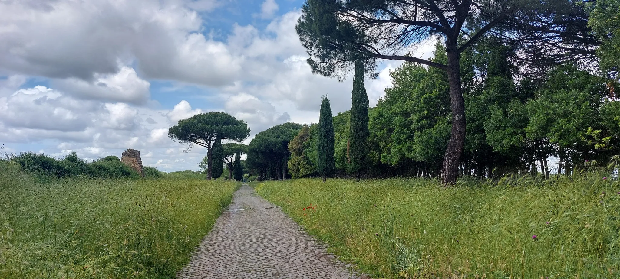
Walk among the remains of Roman aqueducts
0
0

Hello everyone, I can only tell you that it was a lucky excursion for a great running event on all the paths of Campo dell'Osso up to Monte Autoro, a beautiful trial marathon with many participants. Just the day, cool and sunny, perfect day
0
0

At the end of the dirt road that starts from Campo Minnio you arrive at the panoramic point Le Vedute with a view of Monte Tarino, Monte Viglio and the Santissima Trinità
0
0
Frequently Asked Questions
How many no-traffic touring cycling routes are available around Cerreto Laziale?
There are over 10 dedicated no-traffic touring cycling routes around Cerreto Laziale, offering a variety of experiences from moderate to difficult. The komoot community has rated these routes highly, with an average score of 4.36 stars.
Are there any easy no-traffic touring cycling routes suitable for beginners or families?
While many routes in the Cerreto Laziale area are rated as difficult due to the undulating terrain and elevation changes, there is at least one easy touring cycling route available. For families or beginners, look for routes that specifically mention being flat or having minimal elevation gain, often found along valley floors or dedicated bike paths like sections of the Fiuggi-Paliano bicycle track.
What kind of natural scenery can I expect on these no-traffic cycling routes?
The no-traffic routes around Cerreto Laziale traverse diverse and picturesque landscapes. You can expect to cycle through lush chestnut and oak forests, offering shaded paths and vibrant scenery, especially in spring. The region is also characterized by rolling hills and the foothills of the Monti Ruffi, providing panoramic views. Keep an eye out for natural monuments like the Rioscuro Stream Waterfalls, a protected area known for its clear waters and biodiversity.
Are there any historical or cultural attractions along the no-traffic cycling routes?
Yes, the region is rich in history and culture. Many routes offer opportunities to visit historical sites. A notable option is the Karol Wojtyła Trail, which leads to the ancient Sanctuary of Mentorella. You might also encounter historical sites like the Benedictine Hermitages of San Cosimato or the impressive Brancaccio Castle in San Gregorio da Sassola, offering a glimpse into the area's past.
What is the best time of year to go touring cycling in Cerreto Laziale?
Spring and autumn are generally the best times for touring cycling in Cerreto Laziale. In spring, the forests are particularly vibrant with flowers, and streams like the Falconara ditch are flowing. Autumn offers pleasant temperatures and beautiful fall foliage. Summers can be hot, especially for routes with significant climbs, while winters might be chilly with potential for rain or snow at higher elevations.
Are there any circular or loop routes for touring cyclists?
Yes, several no-traffic touring cycling routes in the area are designed as loops, allowing you to start and end in the same location. Examples include the Borgo di Poli – Rocca Pia of Tivoli loop from Poli and the Monte Autore Viewpoints – Prato di Camposecco loop from Cervara di Roma. These offer varied terrain and scenic views without the need for shuttle services.
Can I bring my dog on the no-traffic cycling routes?
While specific rules for dogs on every route are not universally posted, generally, dogs are welcome on many outdoor trails in Italy, especially if kept on a leash. However, it's always advisable to check local regulations for specific natural parks or protected areas you plan to enter, such as those around the Rioscuro Stream Waterfalls, to ensure compliance.
Where can I park my car when starting a no-traffic touring cycling route?
Parking is typically available in the towns and villages that serve as starting points for these routes. For example, if you're cycling near Cervara di Roma or San Gregorio da Sassola, you'll usually find public parking areas. For routes like the Fiuggi-Paliano bicycle track, access points often have designated parking facilities. Always check the specific route details for recommended parking locations.
Are there any challenging no-traffic routes for experienced touring cyclists?
Absolutely. The region's hilly and mountainous terrain, particularly around the Monti Ruffi with peaks like Monte Costasole (1251m), provides excellent challenges for experienced touring cyclists. Many routes feature significant elevation gains, such as the Capranica Prenestina – Guadagnolo Village loop from Valle dell'Aniene-Mandela-Sambuci, which has nearly 1500 meters of ascent, making for demanding yet rewarding rides.
What kind of bike is best suited for the no-traffic touring routes around Cerreto Laziale?
Given the varied terrain, which includes paved roads, undulating hills, and potentially some gravel sections, a touring bicycle with a good range of gears is ideal. The ability to handle both climbs and descents comfortably, along with sufficient tire width for stability, will enhance your experience on these routes.
Are there places to stop for food and drink along the routes?
Many routes pass through or near small towns and villages where you can find cafes, restaurants, or small shops to refuel. It's always a good idea to plan your stops in advance, especially on longer or more remote routes, and carry sufficient water and snacks, as services might be sparse between settlements.
Most popular attractions around Cerreto Laziale

Get inspired with the komoot mobile app


Explore more
Browse the best Cycling routes in other regions.
